Lake Garda is the largest and arguably most beautiful lake in Italy. Located in the northern part of the country, on the border of the Lombardy, Veneto, and Trentino-Alto regions, the lake is surrounded by a variety of mountain ranges, beautiful rolling hills and many little towns, one more beautiful than the next. But although charming, not all these towns make a good base for exploring the lake. So if you wonder where to stay when visiting Lake Garda, here are 5 towns that we found not only lovely but also very convenient to stay.
Where to Stay When Visiting Lake Garda
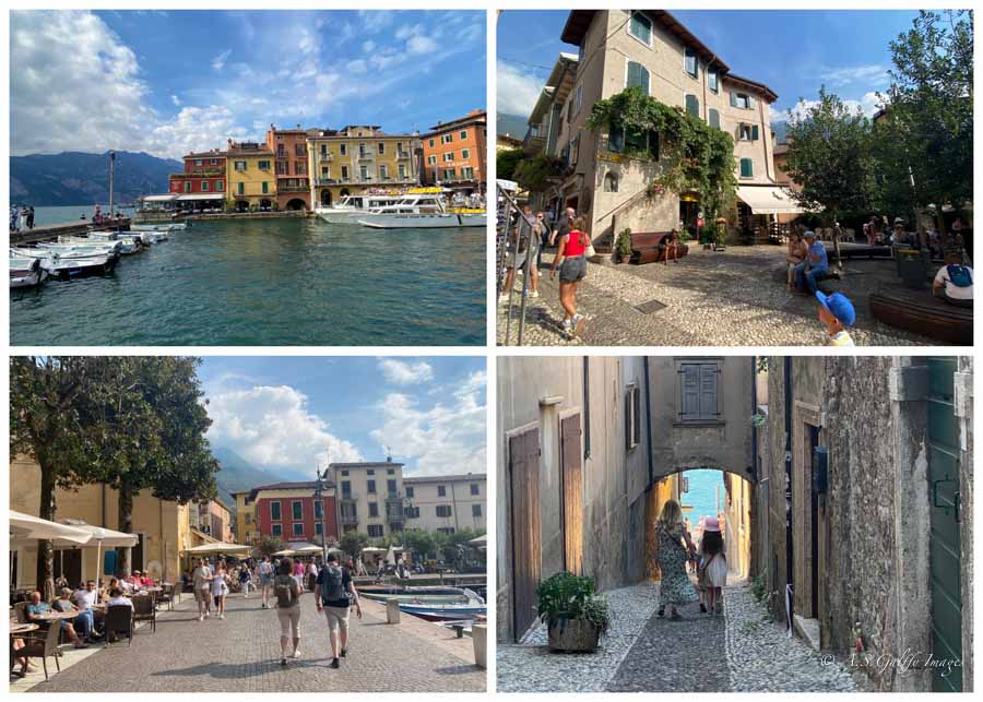
All towns mentioned in this post are situated on the shoreline and feature picturesque scenery, colorful houses, historic landmarks and stunning water views. They are also small enough to be explored on foot and have pedestrian centers and paths that go along the shore. But they are not all alike, each one having its one appeal, cultural identity and traditions.
Malcesine
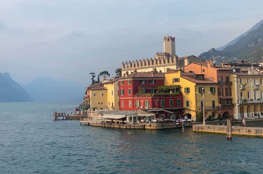
Situated at the northern end of the lake, Malcesine is our top choice for staying in Lake Garda. This vibrant medieval town provides the perfect combination of natural beauty and vintage charm. It is also wonderful for outdoor enthusiasts who like to hike up the mountain or do water sports.
Pros:
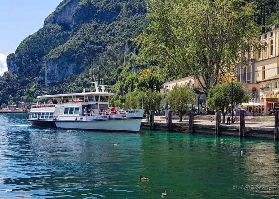
• Good Ferry Connections. The great advantage of staying here is that you’ll have good ferry connections, which makes it easy to reach other towns around the lake.
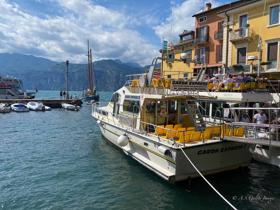
• Good Transportation Hub. While there is no train station in Malcesine, the town has excellent bus connections that allow you to reach other towns on the lake.
• Good Parking. Malcesine has two paid parking areas one of which is the large, two-level covered car park at the cable car station. This makes it a very convenient home base for those traveling by car.

• Beautiful Scenery. Malcesine is pressed between the lake’s waters, at the base of the towering Monte Baldo. This creates a picturesque setting with a combination of lake and mountain scenery.
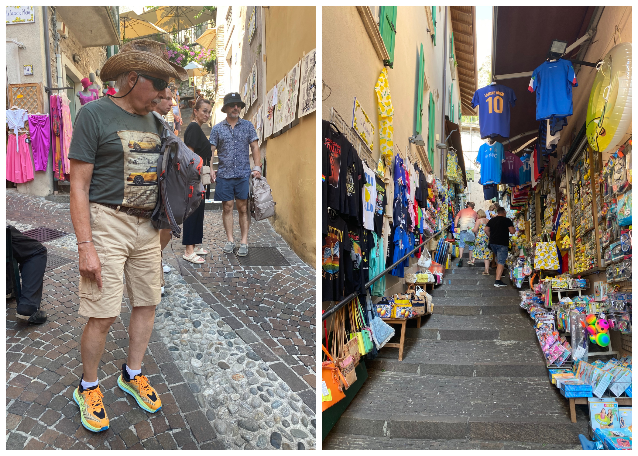
• Interesting Attractions. The town is an attraction in itself, with its narrow cobblestone streets lined with boutiques, souvenir shops and lively cafés.
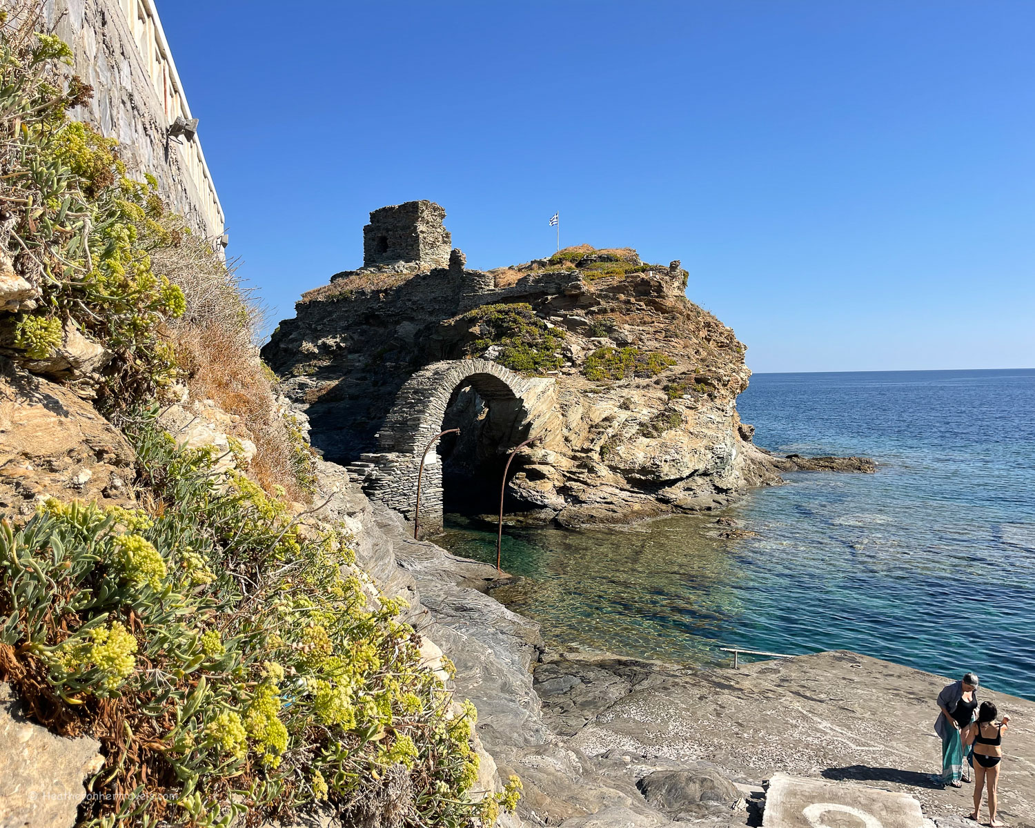
The most interesting attraction in Malcesine is Scaligero Castle, a medieval fortress that was initially built by the Lombards in the 6th century AD. Over the centuries the castle was destroyed by the Franks and subsequently rebuilt by the Scaliger Family who gave the castle its current name.
Another beautiful landmark is Palazzo dei Capitani which served as the residence of the captains of Lake Garda. Its Gothic-Venetian architecture, well preserved interior and beautiful waterfront garden are also worth a short visit.
There is also a cable car that takes visitors up to Monte Baldo, from where they get to admire some stunning panoramic views of the lake and the area around.
• Lively Atmosphere. Malcesine is known for its lively and “Italian” feeling. This is especially obvious in its many restaurants and cafés that offer a variety of cuisines as well as traditional Italian dishes.
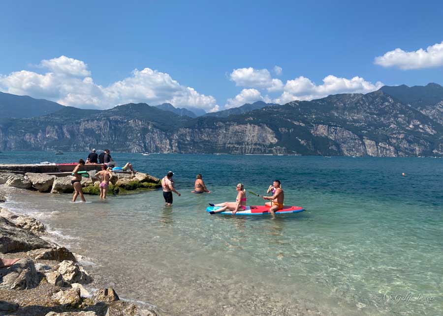
• Beautiful Beaches. Malcesine has several public (or “free”) beaches. These include the popular Baia di Val di Sogno and Posterna beach, which is located directly below the castle.
Cons:
• Can Be Overcrowded. Because of its compact layout as well as its many attractions, Malcesine tends to become very busy, attracting many day trippers who arrive here by ferry.
• Not Very Quiet. Compared to some other lakeside towns, Malcesine can feel more noisy. That’s partly due to the presence of bars, restaurants and clubs, but also to the general activity of a bustling town.
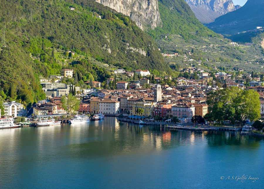
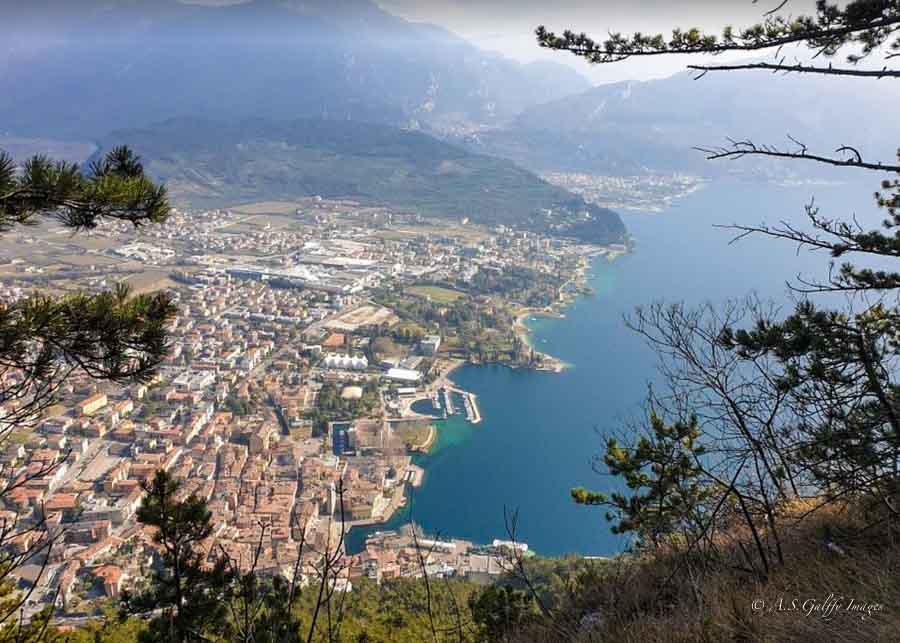
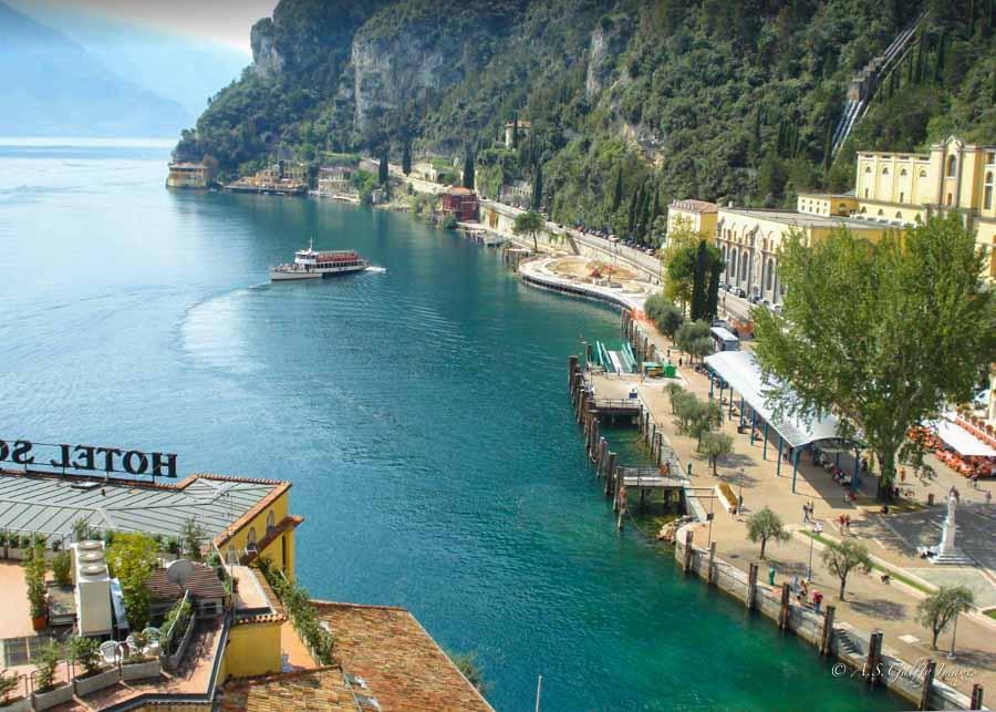
Riva del Garda
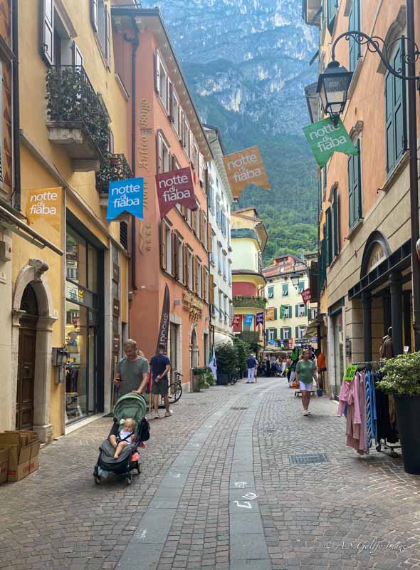
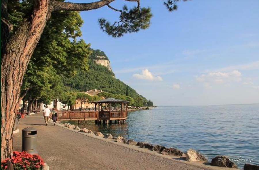
The second on our list is Riva del Garda. Located on the northern tip of Lake Garda with the dramatic mountain drop of Garda Mountains at its back, the town has a lot of historic charm. The old town’s center is a delight to explore, with its cobbled streets, colorful pastel buildings, and attractive piazzas.
Pros:
• Accessibility. Riva del Garda is generally flat and offers more space than other towns around the lake, which makes it a good choice for those with mobility challenges. Being a larger town, it has good public transportation. It also has a mix of free and paid parking options, which is a big convenience for those traveling by car.
• Excellent Hiking Options to Scenic Viewpoints. It offers many trails with spectacular views. Like the path to the Bastione, an old fortress overlooking the town, or the climb to the Santa Barbara Chapel.
• Dynamic Atmosphere. The town is both a vibrant and laid back at the same time, which creates a dynamic and varied atmosphere. The mood and activities differ depending on the time of day and location.
• Hub for Water Sports. Riva del Garda is famous for is excellent access to numerous outdoor activities, especially water sports. So if you like windsurfing, this is your best bet for places to stay in Lake Garda. Consistent and strong winds in this region create the ideal conditions for windsurfing and kitesurfing.
• Lakeside Promenade. The town has a picturesque “lungolago” waterfront lined with cafés and beautiful villas offers visitors a place to stroll and relax.
• Rich History and Culture. Riva’s old town is a delight to explore, with its cobbled streets, colorful pastel buildings, and attractive piazzas.
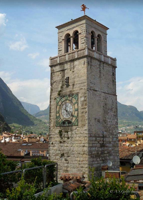
The town’s landmark is Torre Apponale, a 13th-century clock tower in Piazza III Novembre famous for the stunning 360-degree views of the harbor and surrounding area.
Another attraction is the medieval fortress of Roca di Riva, dating back to the 12th century.
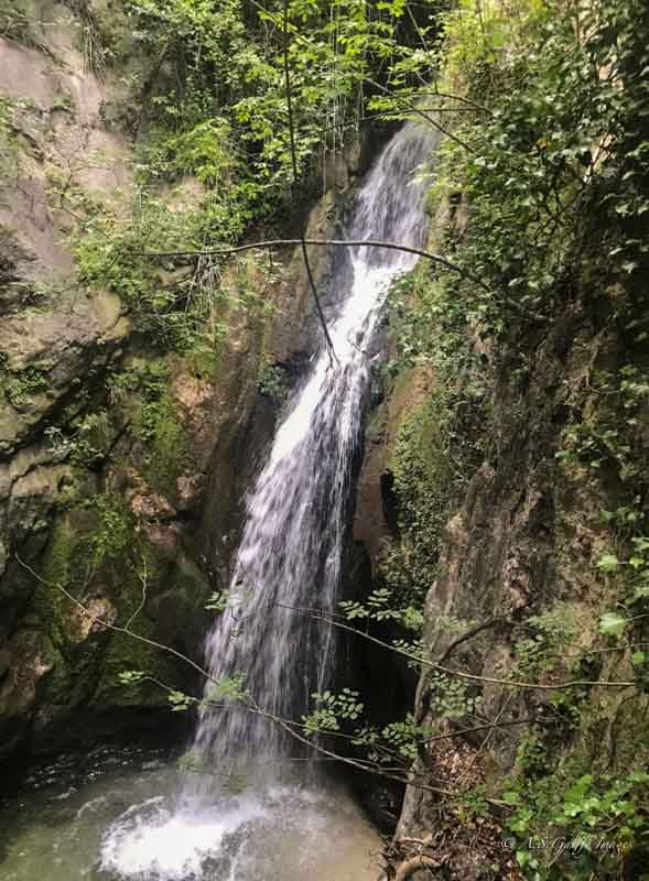
For those who love hiking, the Varone Waterfall Cave Park, just a short distance away from Riva, offer an incredible waterfall and stream.
Good Ferry Service. Regular ferry connections make it easy to visit other charming lakeside towns like Limone sul Garda and Malcesine.
Cons:
• Too Dark. This is just my opinion, but I think Riva gets dark too dark. The sun disappears behind the mountains in the early afternoon leaving the entire town in the shade. Besides, you won’t be able to see the sunset from here.
• A Little Out of the Way. Riva feels somewhat isolated from the other towns along the lake. It also takes much longer to reach the ones further south. The advantage of being more isolated is that you’ll see less crowds in Riva, than in Malcesine or Limone.
• More Windy. Because it’s located under the mountain, Riva gets more wind than other towns around Lake Garda.
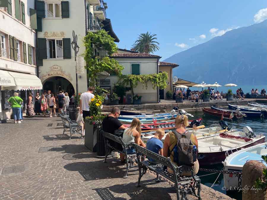
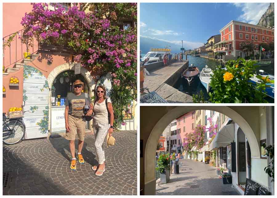
Limone sul Garda
The colorful buildings, narrow cobblestone streets, traditional lemon groves and breathtaking views of the lake and mountains earned Limone the reputation of being the most picturesque town in the region. The combination of its unique setting, cultural heritage, and vibrant atmosphere make it a very desirable place to stay in Lake Garda for some people. However, there are a few things you should consider before deciding if Limone is the ideal place for you.
Pros:
• Stunning Natural Beauty. The town is famous for its picturesque landscapes, with dramatic cliffs, beautiful lake views, and nearby mountains.
• Historic Charm. Limone’s historic narrow alleys, traditional lemon houses (Limonaie) and the overall unique atmosphere make it a very appealing place for visitors. The town offers a peaceful and relaxed vibe, especially outside the peak tourist season.
• Excellent Italian Cuisine. Visitors can savor authentic Italian food at local restaurants and enjoy delicious meals with stunning lake views.
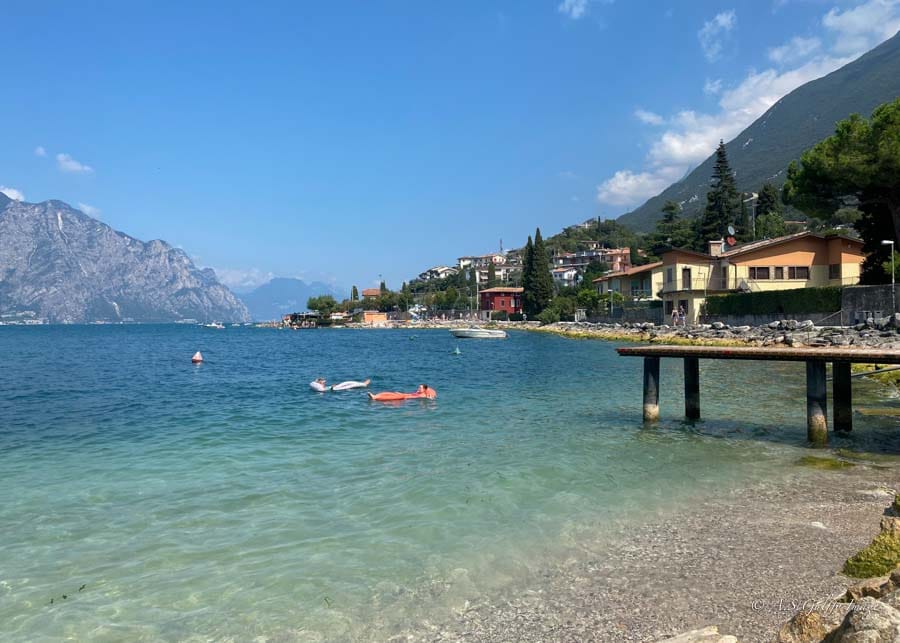
• Family-Friendly. Limone sul Garda is good place for family vacations, offering playgrounds, wide beaches, and hotels with pools.
• Long Promenade. One of the town’s big attractions is the beautiful waterfront, which often hosts an open market. There is also the remarkable elevated Ciclovia del Garda, a spectacular 3 km-long cycle path suspended above the water.
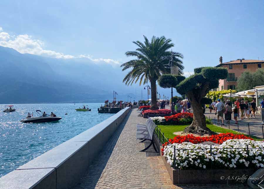
• Romantic sunsets. Unlike Riva that sits in the shade of the mountain, in Limone you can enjoy breathtaking sunsets. You definitely need to watch a sunset when visiting Lake Garda!
Cons:
• Hilly and Steep. Limone sits on a very hilly terrain and most of its streets are extremely steep and hard to navigate. That can be difficult for visitors with limited mobility or those who prefer less strenuous walks.
• Difficult Parking. Parking is a significant challenge in Limone. Because of the steep terrain there are very limited and expensive parking options available.
• Harder to Reach. Because of its location on the western side of the like, it is generally more difficult to drive to Limone because of the winding, narrow roads, tunnels and steep lakeside drop-offs.
• Quiet Nightlife. If you enjoy late-night bars and entertainment, you might prefer a different base town. Limone is lively during the day, but not so at night.
• Not Ideal in Bad Weather. There is not a great deal to do in Limone if the weather is bad. There are no museums, spas, or wine tasting rooms, like in Riva, Malcesine, or Sirmione.
• Can Be Overcrowded. During peak season, Limone can become very crowded with day-trippers. This leads to cramped conditions both on the streets, but especially on ferries. Not everyone may be able to get on the next departure.
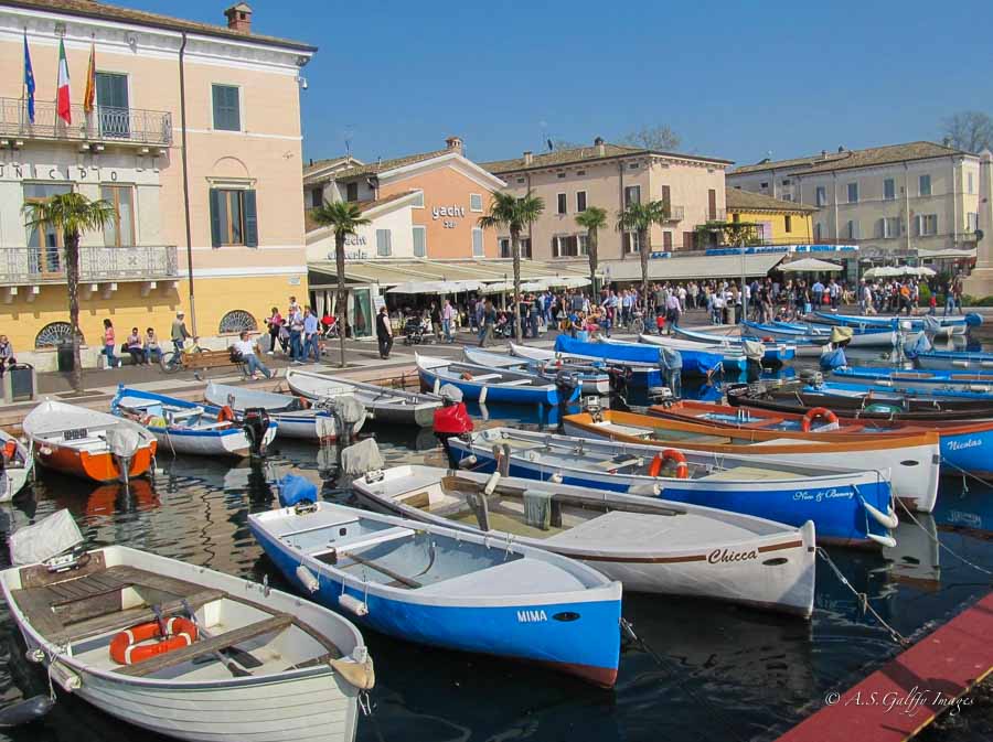
Garda Town
Garda is an excellent base to explore Lake Garda and the surrounding area, including Verona. The town is spread along a wide horseshoe bay lined with cafés, shops and restaurants. Just pick one, have a drink and watch the sun go down.
Pros:
• Authentic Italian Experience. Garda Town maintains a classic Italian charm. The narrow winding streets of the old town are filled with shops and authentic Italian restaurants.
• Convenient Location and Accessibility. The town is in a central position on Lake Garda, making it an ideal base for visiting other towns and attractions. It also has excellent ferry connections to many larger and smaller towns around the lake.
• Lively Atmosphere: It is particularly well-suited for families, couples, and visitors who prefer a lively resort setting with easy access to amenities and attractions.
• Proximity to Theme Parks. Because it is just a short drive away from popular amusement parks like Gardaland and Movieland, Garda is an ideal home base for families with children.
• Nearby Wineries. Garda Town is also close to Bardolino, which is also a beautiful town and it’s famous known for its excellent local wines.
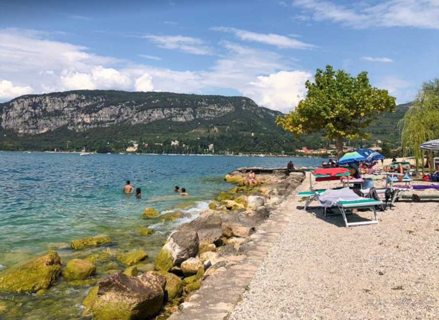
• Beaches and nature. There are many beautiful beaches around, including the private Mermaids’ Bay (Baia delle Sirene) at Punta San Vigilio, known for its romantic and scenic setting.
• Natural Beauty. Everywhere you turn, you’ll find beautiful landscapes in Garda, with tall palm trees and colorful flowers. And if you want some panoramic views, you can go up to the Oka Dearda viewpoint, or climb the nearby hills.
Cons:
• Heavy Tourism: Garda can become very busy, especially during the summer months. That means crowded streets and an atmosphere that can feel overwhelming.
• Limited Direct Lake Views. Due to the town’s layout, it can be challenging to find accommodations with direct, unobstructed views of the lake.
• Limited Bus Service. Garda is not a major bus hub, which means that you won’t find a good network of routes connecting you with the rest of the region. This makes it difficult to travel to northern parts of the lake.
• Evening Chills. Because of the town’s position the sun sets behind it, which can make the evenings feel chilly. This also means there’s less sunlight during the late afternoon and evening hours.
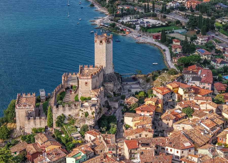
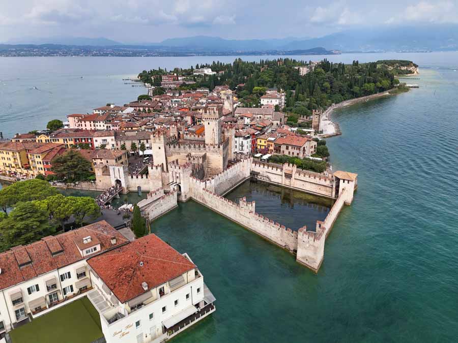
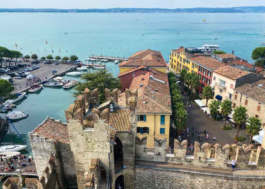
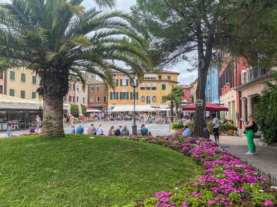
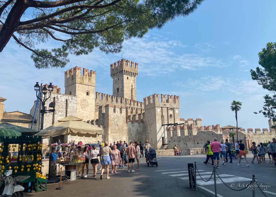
Sirmione
We loved Sirmione! Located at the tip of a long, narrow peninsula that juts into the southern part of Lake Garda, the town is simply idyllic. If you are into medieval village vibes and looking for a small, scenic place to explore, you will probably fall in love with Sirmione. It definitely makes a great day trip, but as much as we liked it, we don’t think it makes an ideal base for visiting the other towns around Lake Garda.
Consider Sirmione If:
• You have a car and you don’t mind longer drives. Sirmione is located at the tip of a long, narrow peninsula that juts into the southern part of Lake Garda. Its location on a peninsula makes access to the train line difficult for exploring other areas like the north of the lake. Therefore visiting towns like Riva, Limone, or Malcesine will require driving a car.
• You plan to stay primarily in the southern parts of the lake. Public transportation to Sirmione is rather difficult. There is no train or direct bus from the other towns around the lake. There are however direct ferry lines to/from various towns on the southern end of the lake, such as Lazise, Desenzano, and Peschiera del Garda.
• You want to experience a “magical” and picturesque town: with historic sites like a castle and Roman ruins, especially in the evenings and mornings after day-trippers leave.
• You are a single woman and prefer to stay in a smaller, self-contained area. Sirmione feels super safe. If you are a woman traveling alone in Italy, Sirmione is a peaceful and secure choice.
Attractions in Sirmione
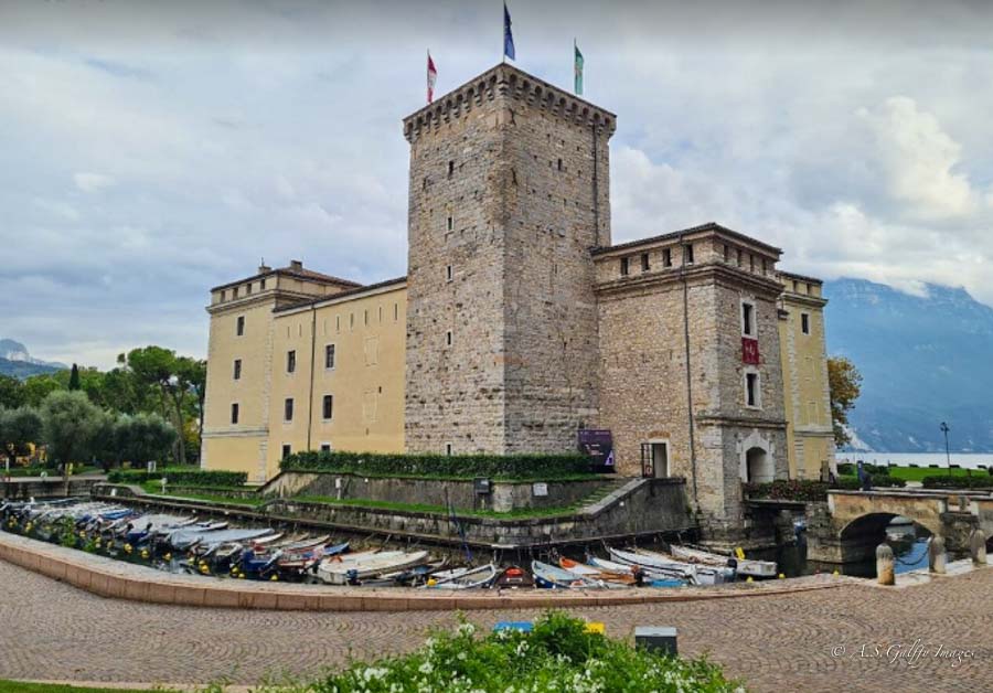
The landmark of Sirmione is the Scaligero Castle, a fortification built after the middle of the 14th century on the waters of the lake.
The other interesting thing to visit in Sirmione is the extensive Roman villa ruins at the Grottoes of Catullus dating back to the 2nd century AD.
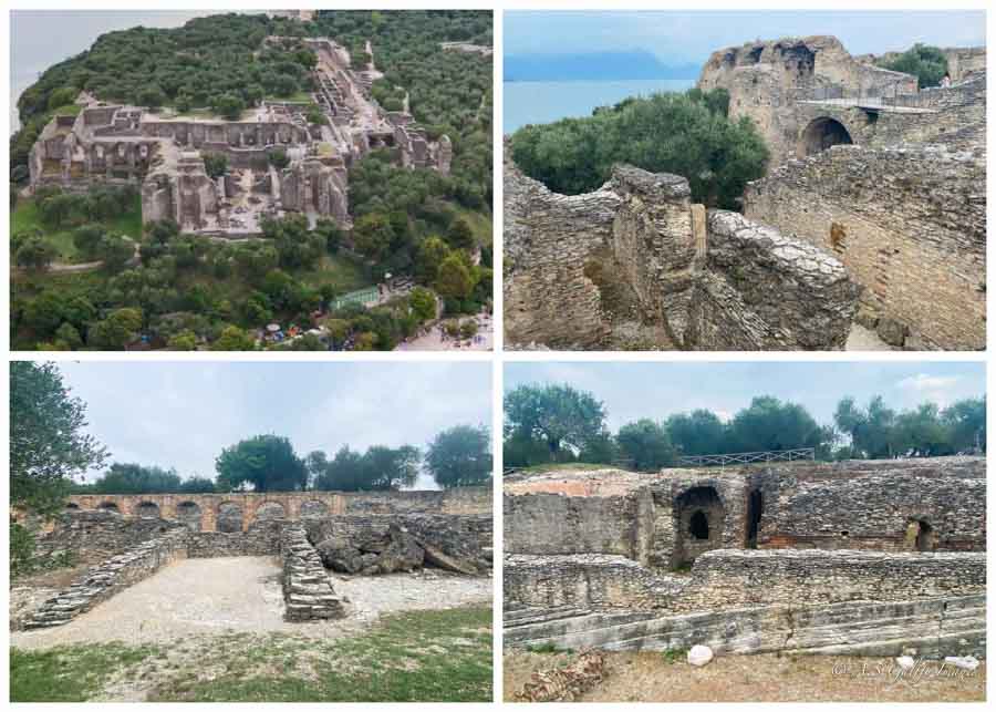
This is a very interesting archeological site. Initially the ruins were mistaken for natural caves or grottoes, because they were overgrown with vegetation. It was only after the excavations began that archeologists realized they were in front of a Roman villa.
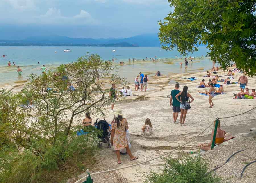
There is also the unique Jamaica Beach, located below the Grottoes of Catullus. The beach is famous for its flat, white, rocky shelves.
If you have time, you should also visit the Aquaria Thermal Spa which features sulfurous hot springs.
Don’t Use Sirmione as a Home Base If:
• You do not have a car. Like I previously explained, the only way to reach the towns in the north is by car. And even if you have a car, it’s a long drive from Sirmione to any of these towns. Besides, there is a speed limit when driving the roads around Lake Garda, which will prevent you from getting anywhere in a timely manner.
• You you are looking for lots to do and want to stay busy for several days. Sirmione is small (although very beautiful!), but there is not enough to do there.
• You want a lively scene. Sirmione feels a little too quiet. There is not much nightlife, so if you are looking for bars, music, or lively restaurants, this probably is not the best fit.
A Final Thought
I hope that after reading this guide you’ll have a better idea what to expect when visiting Lake Garda and thus make a more informed decision about where to stay. Because there are quite a few beautiful places to visit in Lake Garda, you should plan on spending at least 4-5 here. We visited the lake in summer, as part of a bigger European itinerary and truly loved our time here. We hope to return someday.