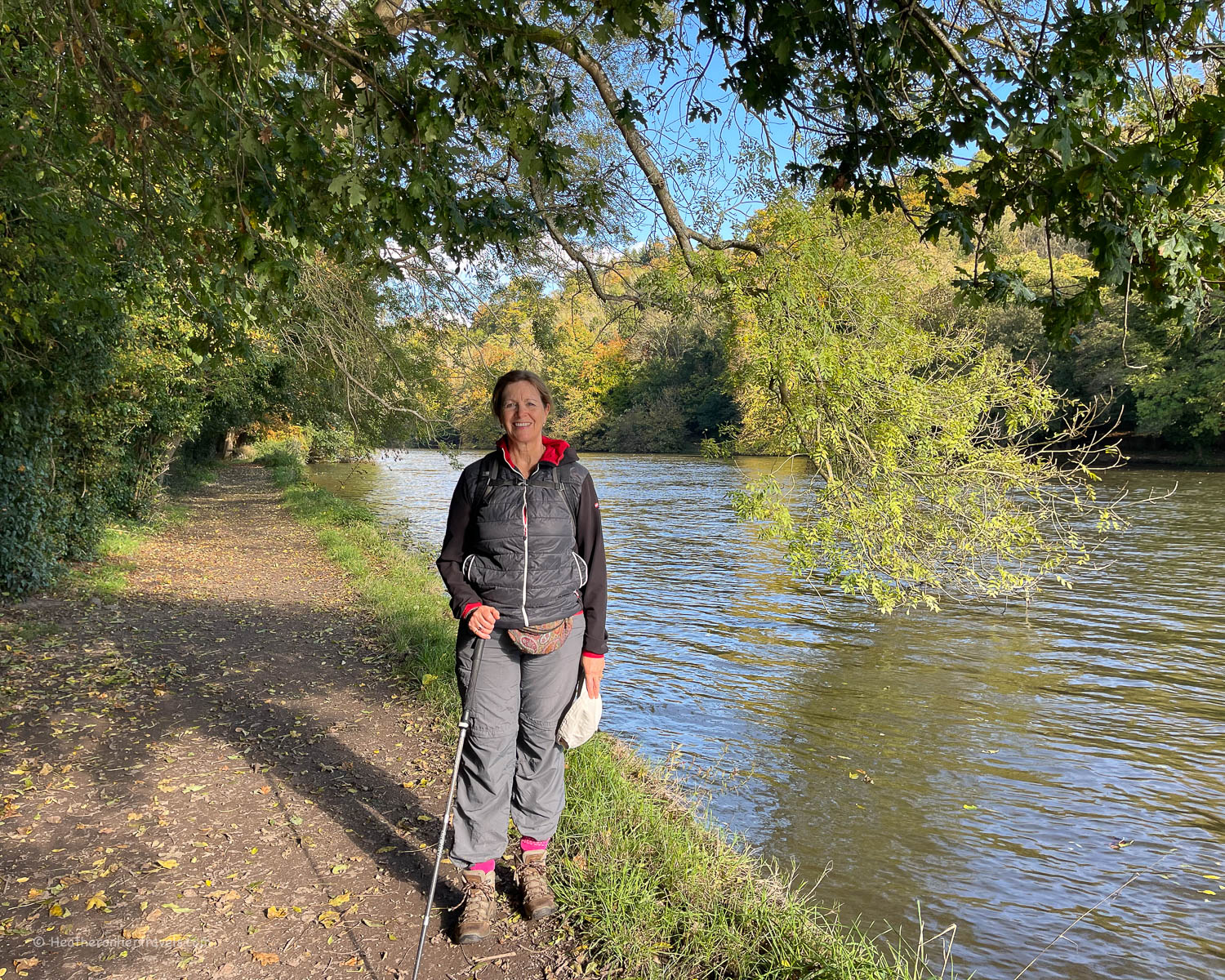
Walking from Oxford to Henley on the Thames Path National Trail, you’ll enjoy wild and isolated water meadows, but there’s also the pleasant buzz of canalboats passing through flower filled locks and riverside towns going about their business. Along this part of the Thames lie charming towns and villages, that prospered from trade flowing down the river, transporting goods from the Cotswolds to London.

This article may contain affiliate links that provide commission on purchases you make at no extra cost to you. As an Amazon Associate I earn from qualifying purchases.
Days 5-8 – Oxford to Henley
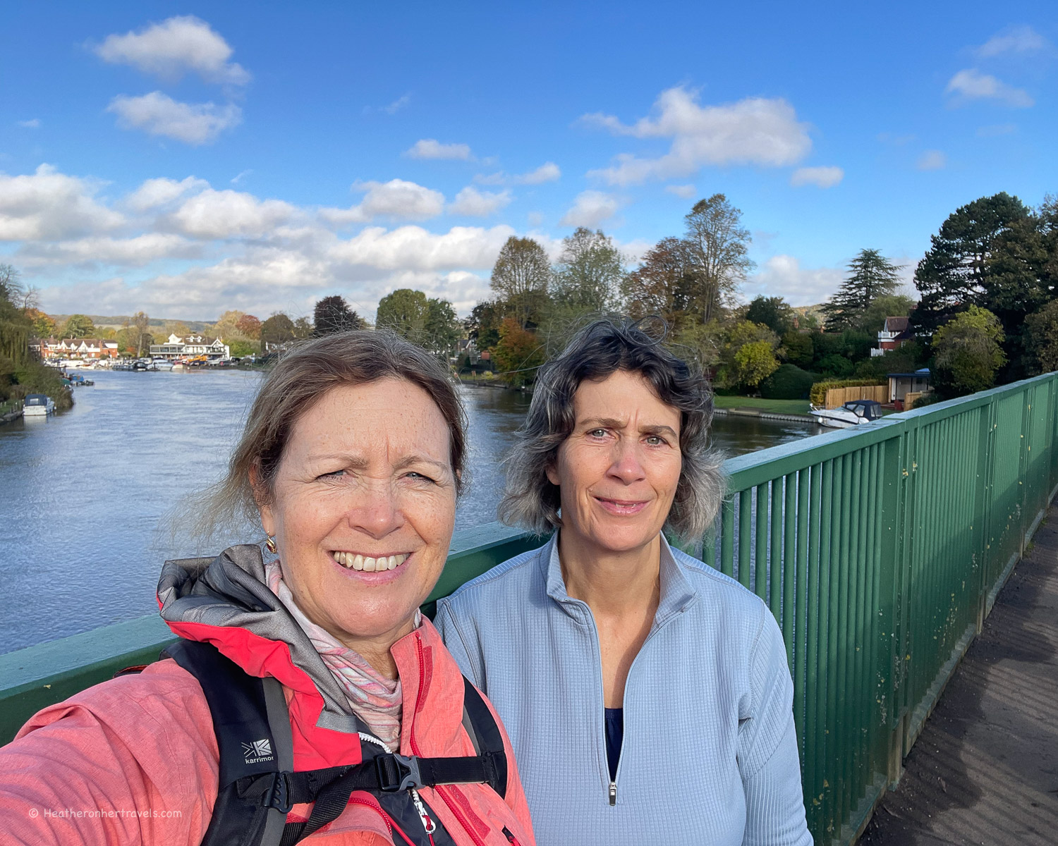
The beauty of the Thames Path National Trail is that the 15 days of walking can easily be split up into sections, if you don’t want to walk it in one go. My sister and I took around a year to complete the whole trail, normally walking for a couple of days at a time.
We chose to start from the Thames Source and walk towards London, but this four day leg from Oxford to Henley or any part of the trail can be walked in either direction.
As the Thames Path is 15 days long, I decided to break my articles into 4 sections, each covering 3-4 days walking on the trail. I hope to provide detailed information for walkers on all the practicalities such transport and accommodation, as well as what to see on the trail.
You’re reading the second of the 4 articles describing Days 5-8 of our walk on the Thames Path National Trail, and if you haven’t already done so, you can also read:
The section before this one:
Hiking the Thames Path National Trail – from Source to Oxford – Days 1-4
The sections after this one:
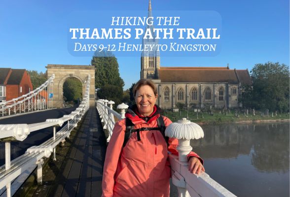
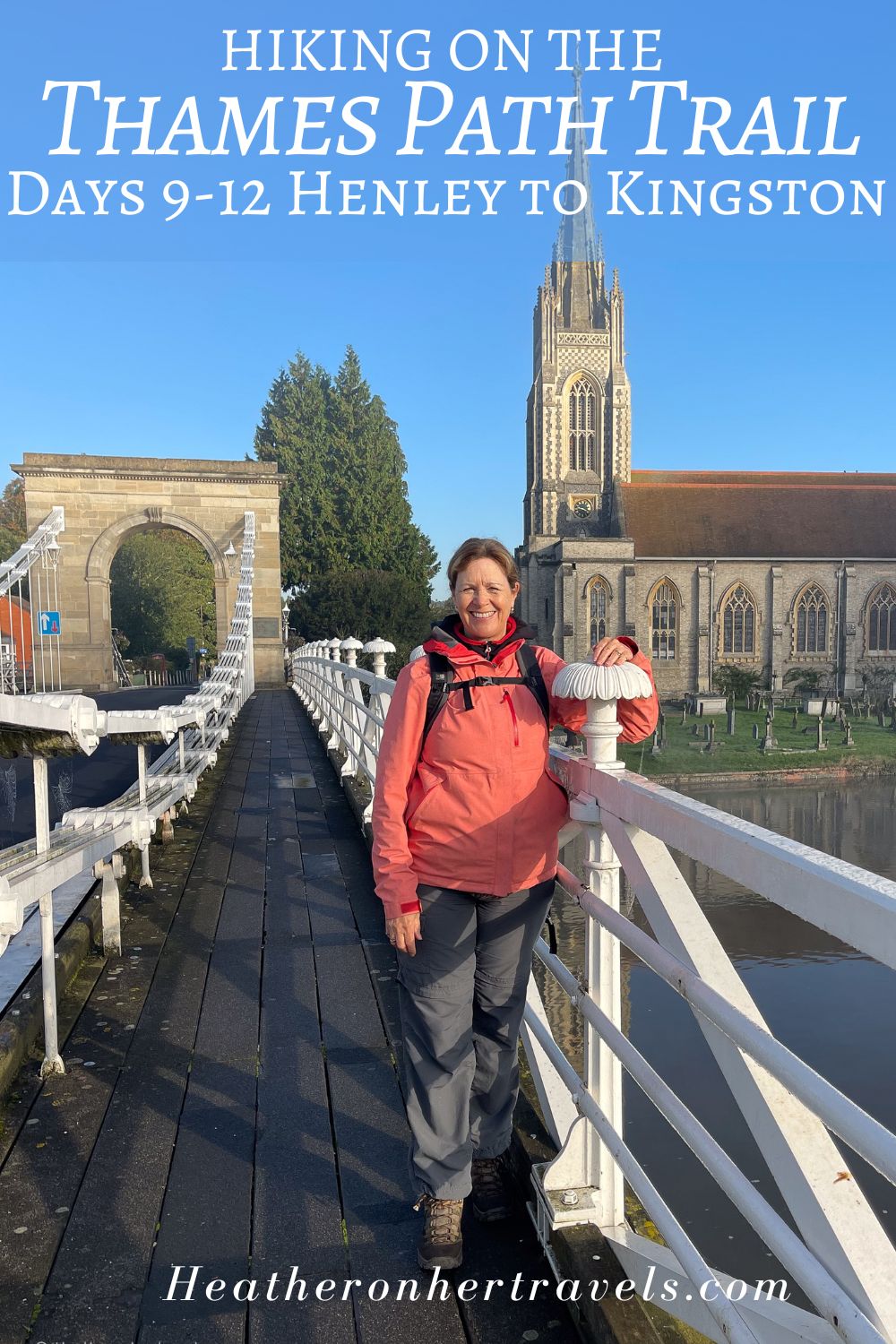
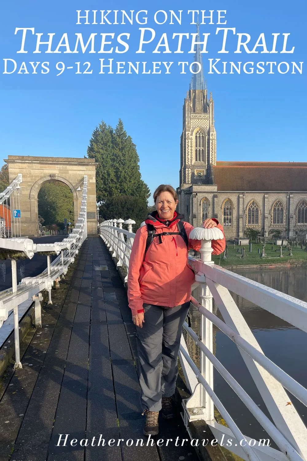
Hiking the Thames Path National Trail – from Henley to Kingston – Days 9-12
Hiking the Thames Path National Trail – Kingston to Woolwich – Days 13-15
Essential planning for Days 5-8 – Oxford to Henley
If you are walking sections 5-8 of the Thames Trail over a 4 day period, here are the planning essentials. Day 8 is one of the longest sections at 17 miles, so you might want to consider breaking it up at Reading, which would add a fifth day to the walk.
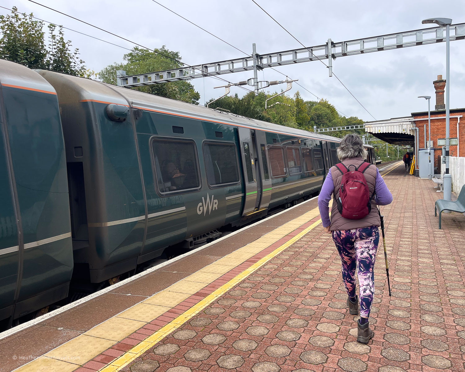
Book the train or coach to Oxford for the start of the walk – There are direct trains from London Paddington or London Marylebone. We recommend Trainline for easy rail and coach bookings. You can also get coaches from London and other cities to Oxford, or from London take the frequent Oxford Tube bus service.
Book accommodation: For the night before starting the walk at Oxford (if required) – there are numerous options, check these Oxford hotels | Day 5 Abingdon – Old Abbey House | Day 6 Wallingford – The Town Arms | Day 7 Pangbourne – Elephant Hotel | Day 8 ends in Henley. This is a long walking day so you may prefer to break it in two at Reading – The Market House or walk the full day to Henley – The Catherine Wheel
Book the train from Henley at the end of this 4 day section – if heading to London you can change at Twyford, for the GWR Bristol to London Paddington line or the Elizabeth Line. We recommend Trainline for easy rail bookings.
Guidebook – buy the Trailblazer Thames Path Guide – this is the one we used and found it excellent for walking in either direction. While a guidebook is not essential, we enjoyed using this one as it added useful information and context to our walk.
I’ll be publishing further articles in this Thames Path series very soon. In the meantime, if you have questions about our walk on the Thames Path National Trail, feel free to email me at heather(at)heatheronhertravels(dot)com
Day 5 – Oxford to Abingdon
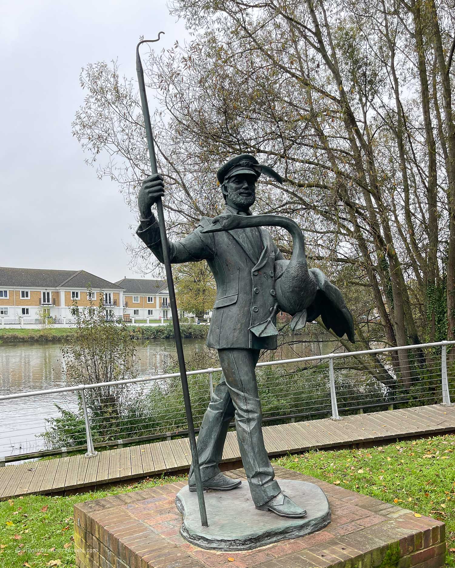
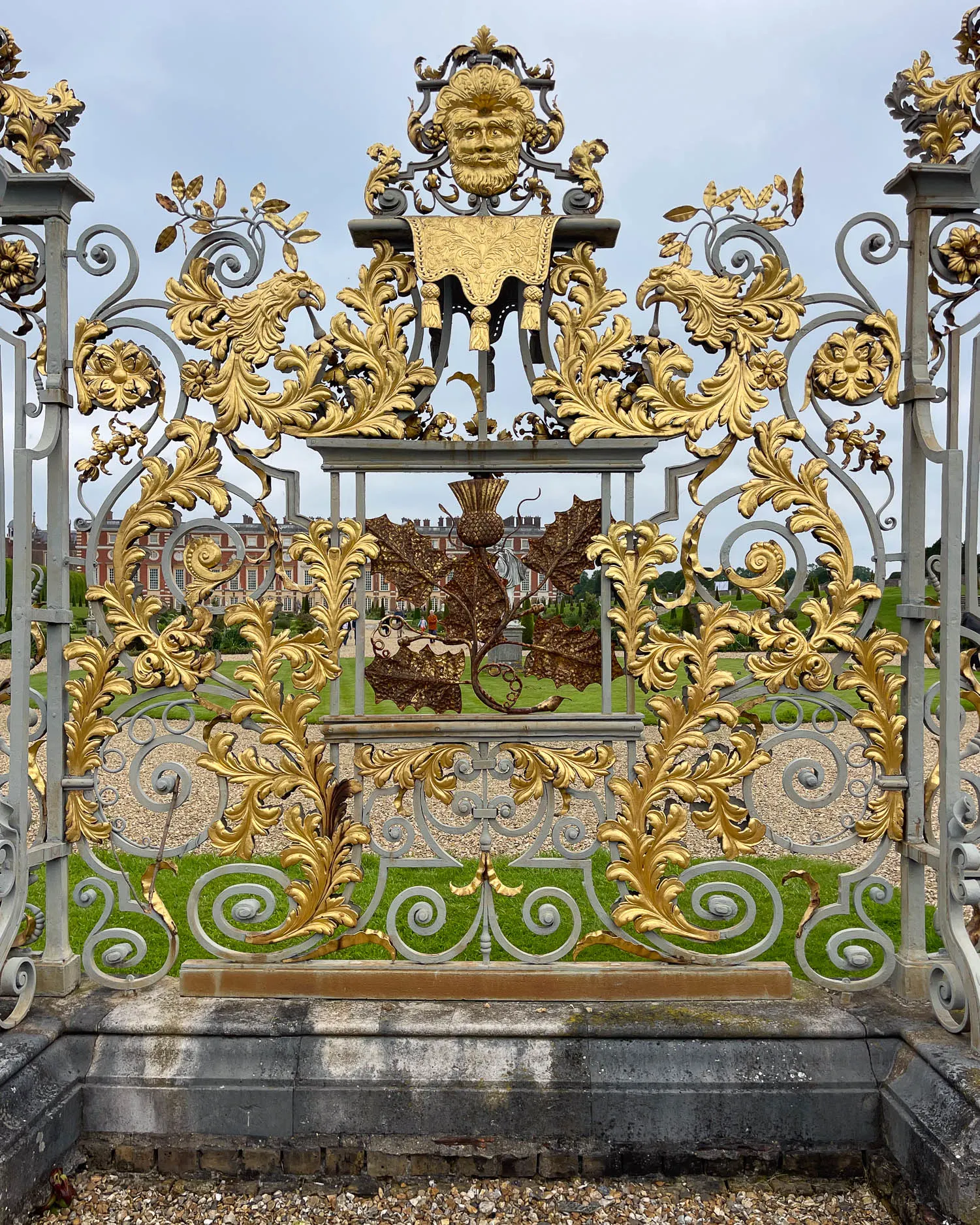
The university town of Oxford, with colleges dating back to the 13th century, is well worth lingering a while. So if you enjoy sightseeing, arrive the day before your walk, allowing extra time to soak up all that history and gorgeous architecture. You can get some more inspiration from my article: A weekend in Oxford – our 48 hour itinerary
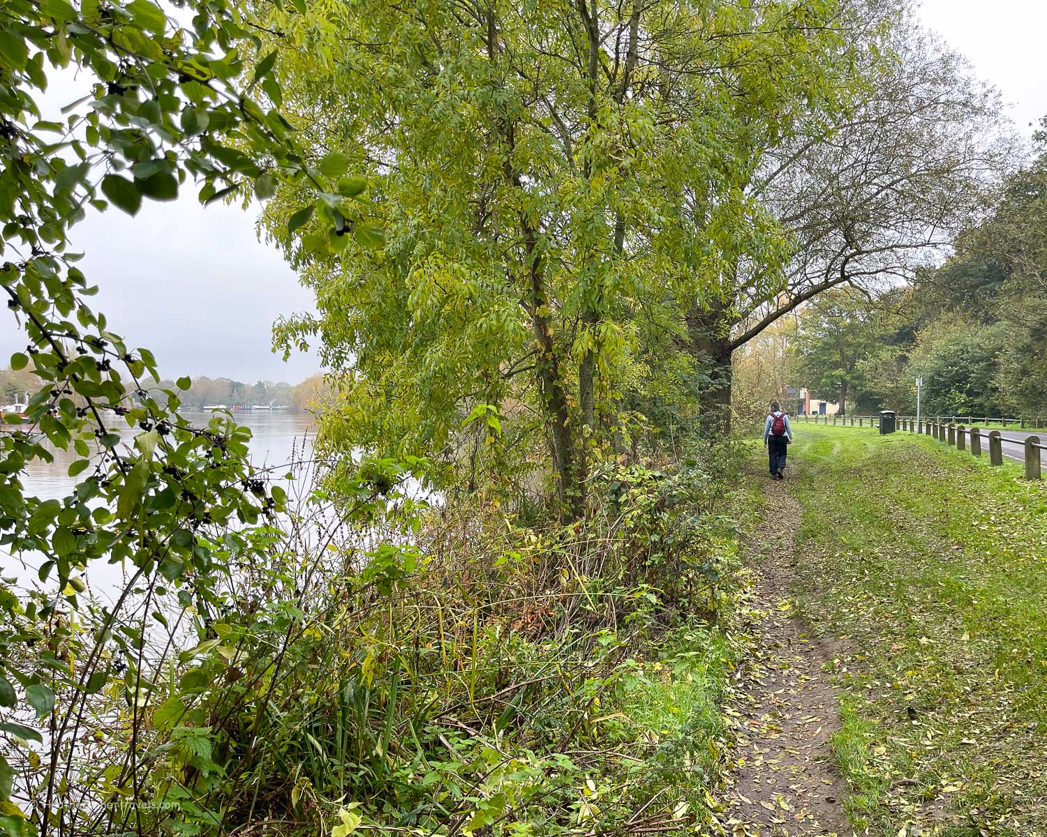
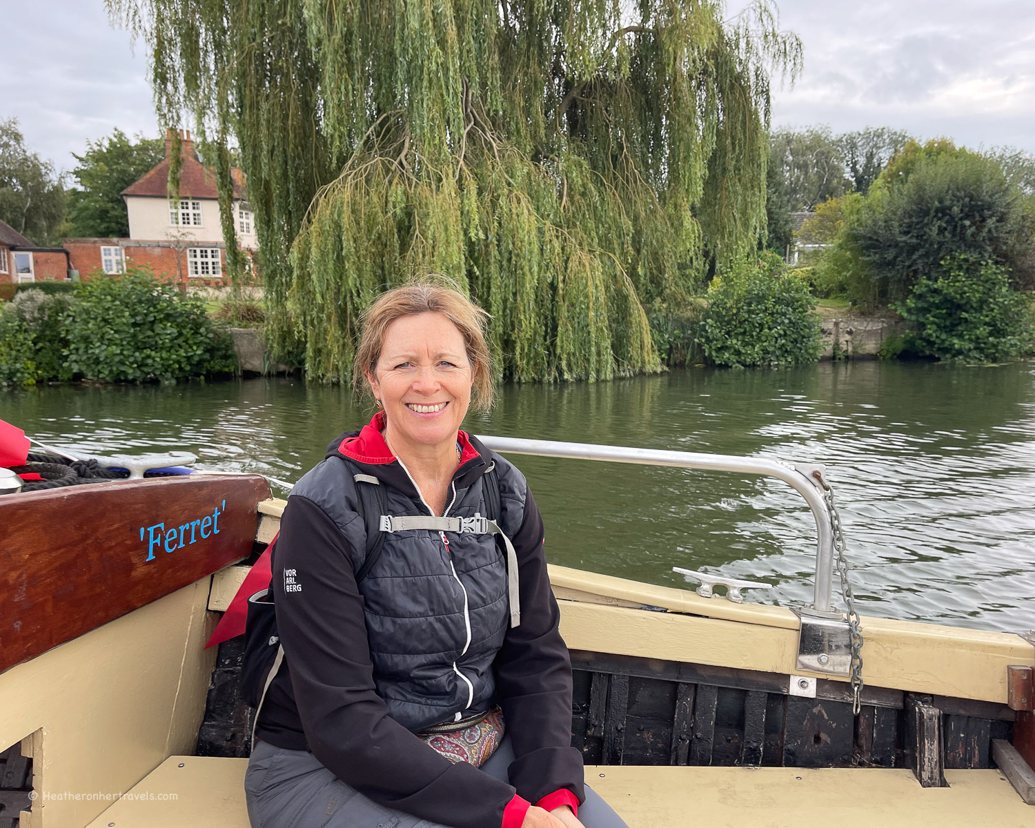
The day’s walk starts at Osney Bridge which is conveniently close to Oxford’s train station. Through Oxford, the Thames ribbons into a number of canals and waterways. The towpath is shared with a constant flow of cyclists, so you should keep an eye out for them or risk being run down!
Finally the Thames path leaves Oxford behind at Folly Bridge, named after a quirky 19th century building and tower, with a wharf opposite the Head of the River pub, where boat trips leave for Abingdon.
The river, which is also known as the Isis at this point, now meanders through meadows until you pass Isis Farmhouse. Operating as a pub open mainly at weekends, this old farmhouse has large gardens to sup a pint overlooking the river.
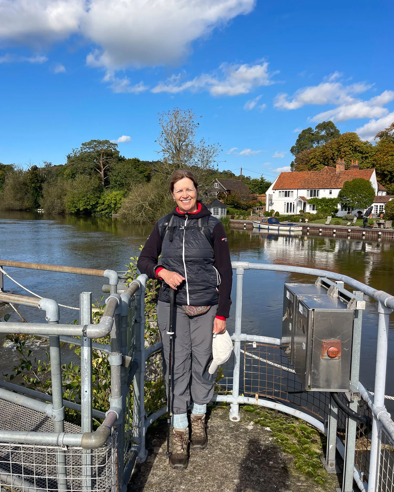
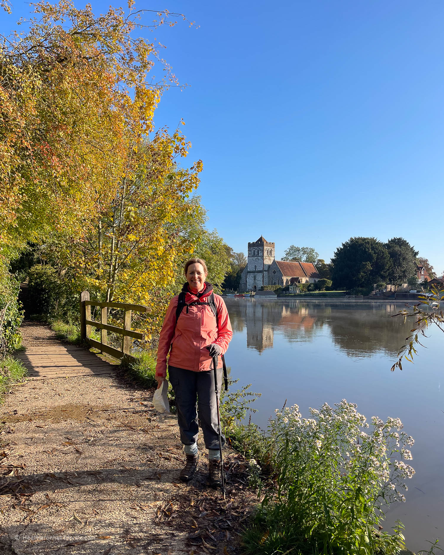
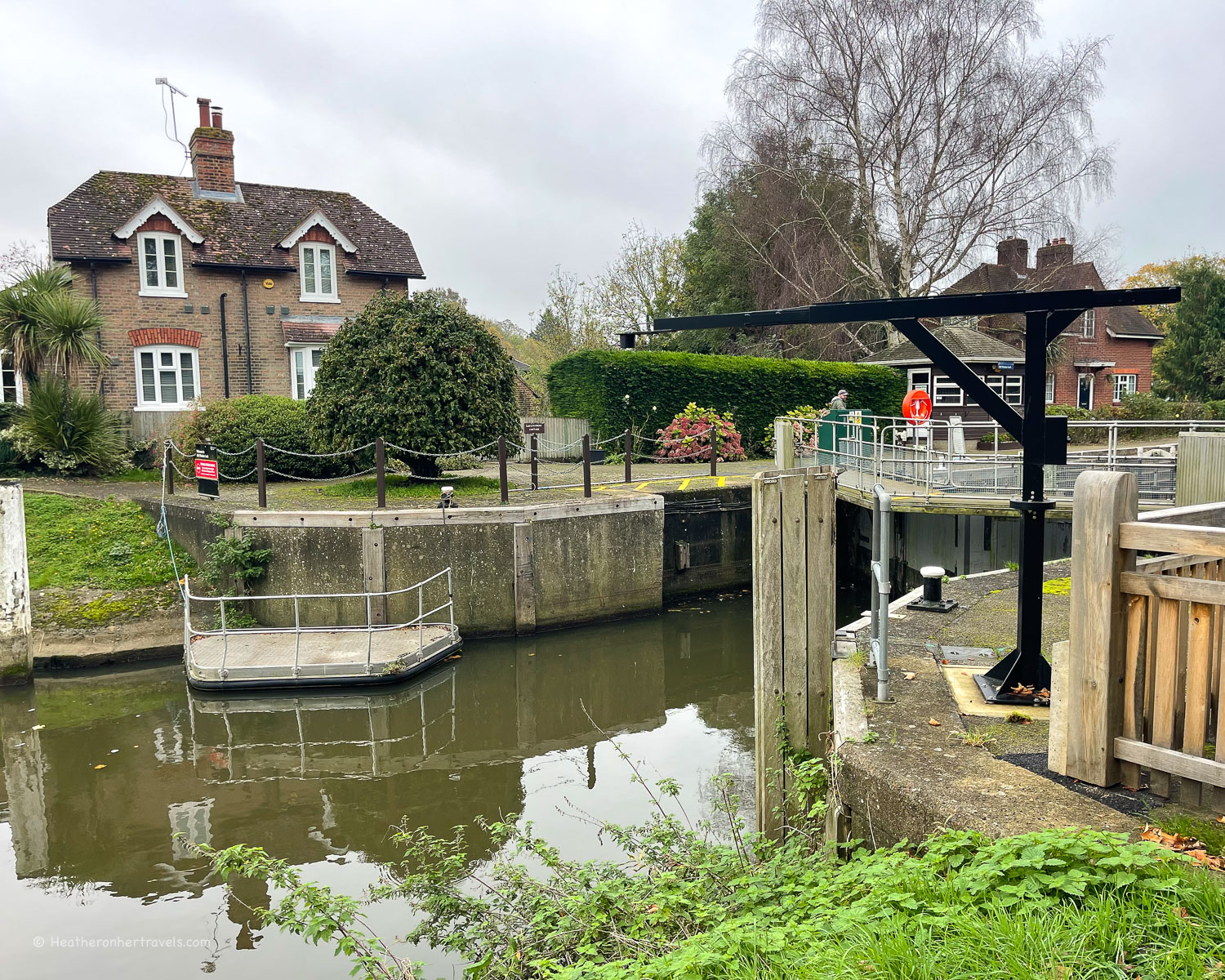
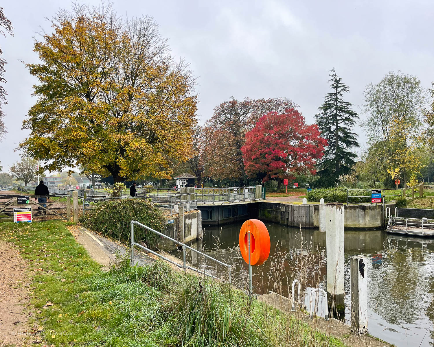
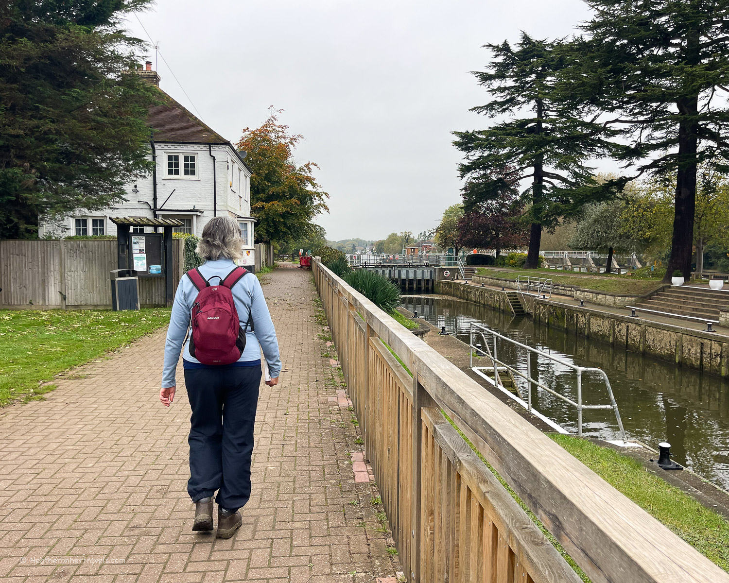
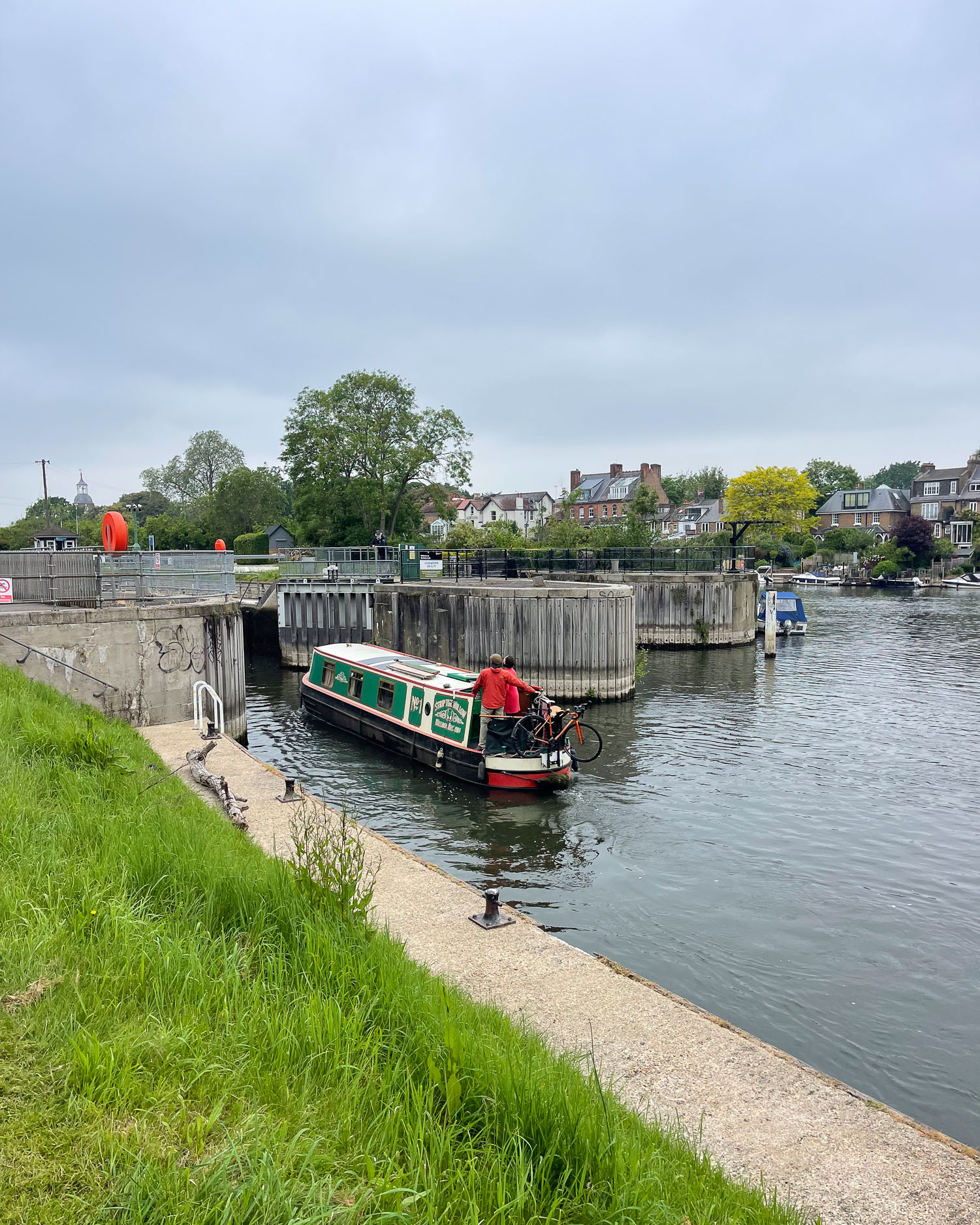
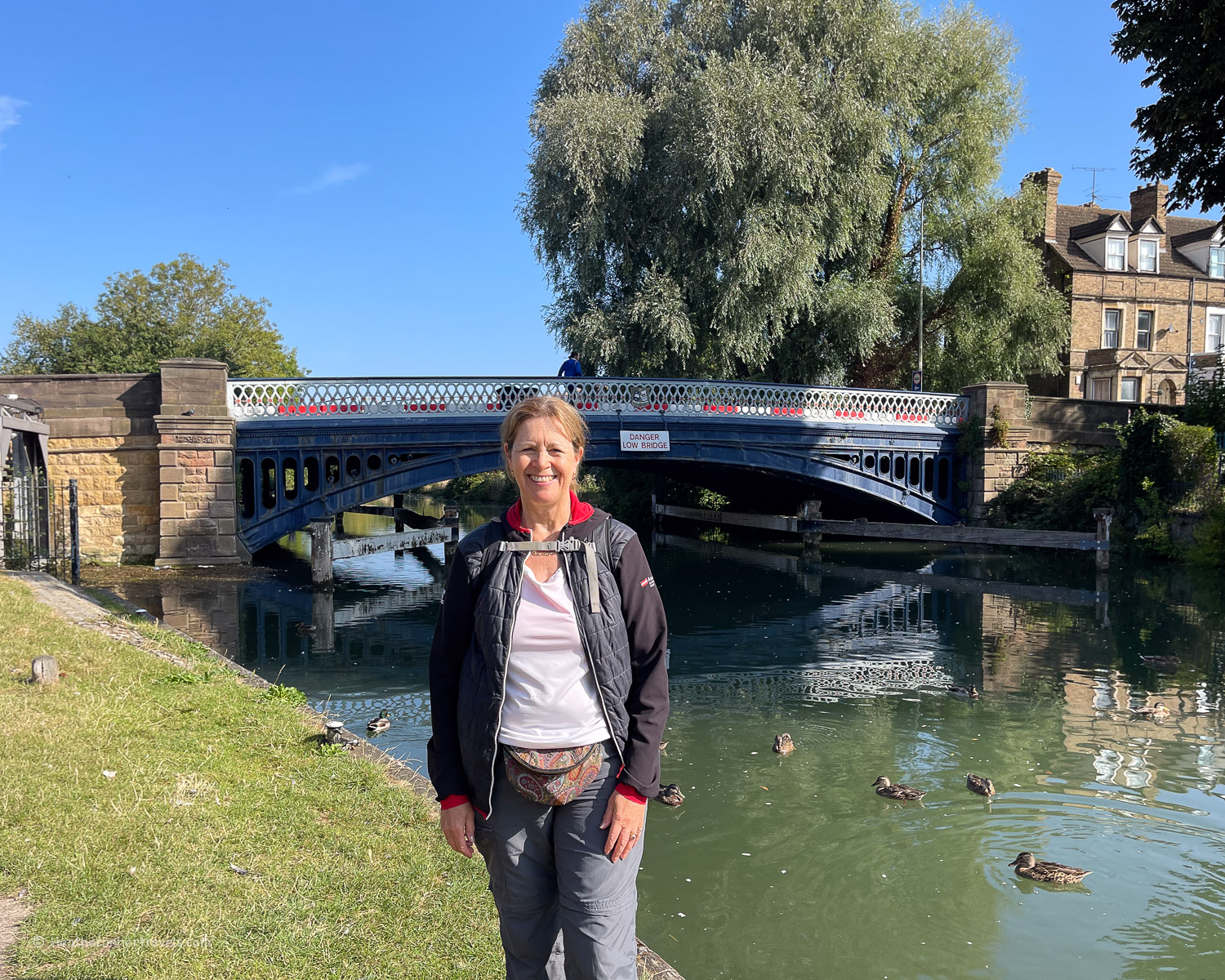
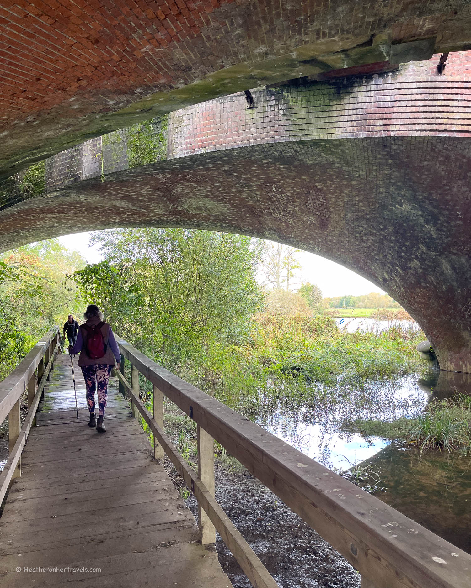
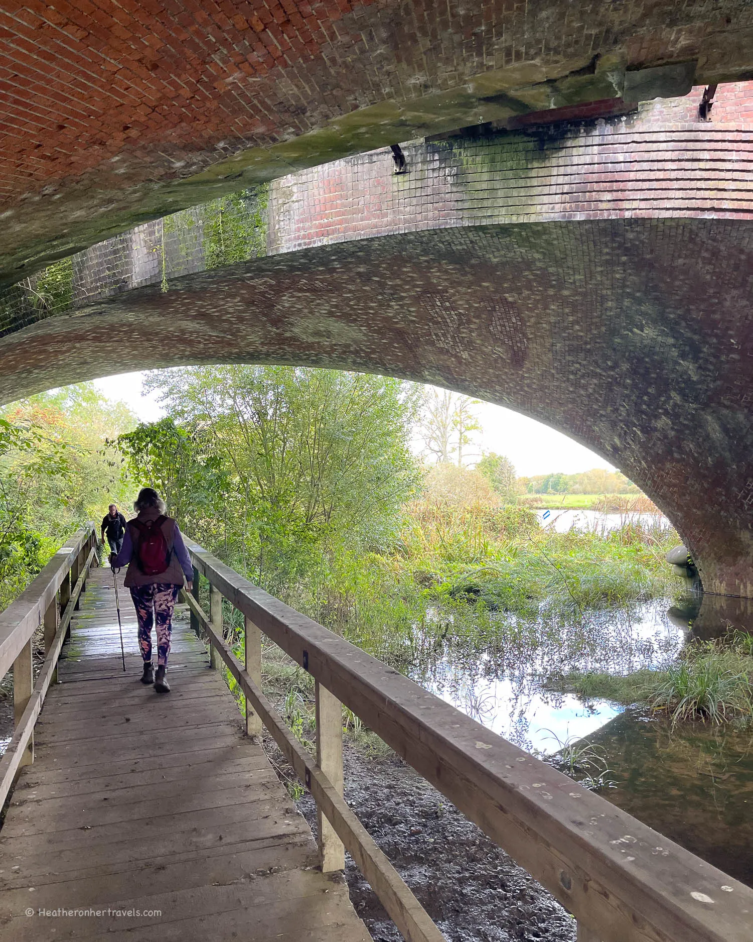
Nearby is Iffley Lock with its arched stone punter’s bridge, which is the starting point for the Oxford University boat races. The next stretch includes Sandford Lock and then a long walk alongside water meadows until you reach Abingdon Lock.
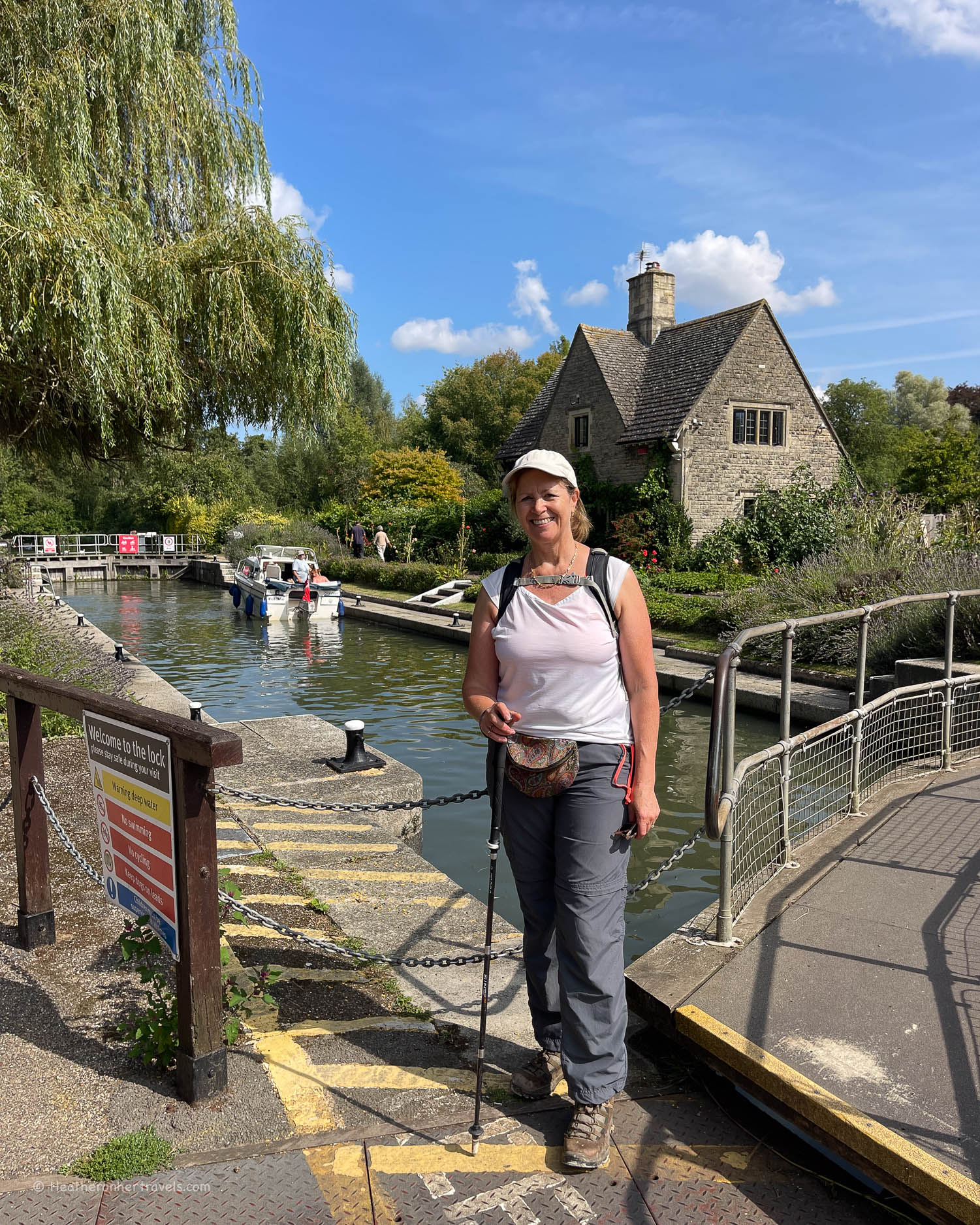
From here it’s just a short stroll to Abingdon Bridge, which you cross to enter the town.
Day 5 – Distance and timings
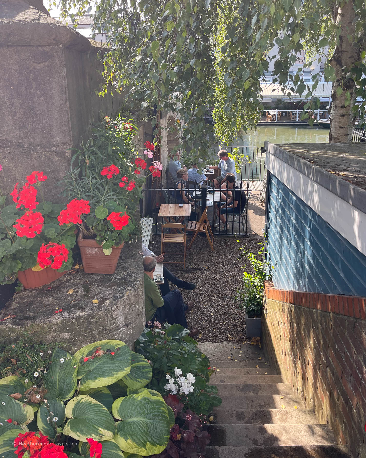
Oxford to Abingdon is aprox 9.5 miles / 15.2 km. It took us around 5.5 hrs to walk, including a coffee stop at Paper Boat Cafe and a picnic break at one of the locks.
Day 5 – Where to stay
Oxford – there’s a huge choice of pubs, guest houses, hotels and hostels, but book ahead as the city is a popular tourist hotspot – check all Oxford hotels.

The Old Abbey House is located in Abingdon, 10 miles from University of Oxford
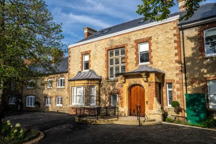
Abingdon – the town offers a wide range of pubs, hotels and guest houses for accommodation. For charming and affordable accommodation in Abingdon, we recommend S Howard B & B where we stayed or for a centrally located alternative try Old Abbey House.
Day 5 – Where to eat
Oxford – there are many food shops, cafes and pubs at Oxford. By Folly Bridge, we enjoyed a coffee overlooking the river at the charming Paper Boat Cafe. Opposite the bridge is the Head of the River pub, which would be another dining option.
Pub stops after this are Isis Farmhouse (Friday – Sunday from midday) or the Kings Arms at Sandford Lock.
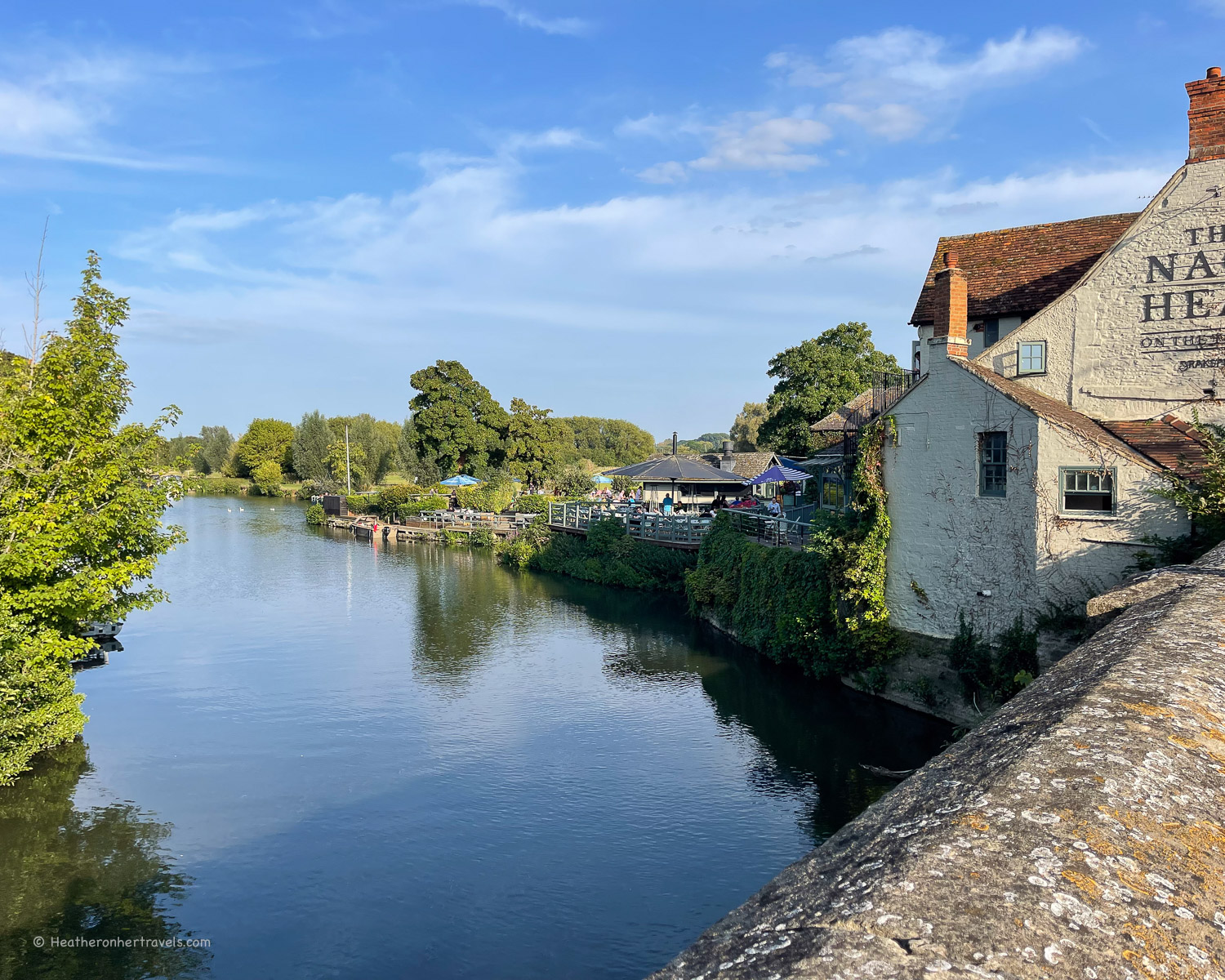
Abingdon – there are many shops and restaurants in the town, and we enjoyed a drink in the riverside garden of the Nag’s Head.
Day 5 – Transport for this stage
Oxford – the town has a station and is well connected by rail and coach to London and other towns on the Thames path.
Abingdon – there is no station, the nearest being at Radley, which is 15 mins by No 35 bus or 1 hour walk. From London take the train from Paddington station to Didcot Parkway, then change for the branch line to Radley.
Frequent buses ( X1, X2, X3, X15) run between Oxford and Abingdon and the journey time is 30 minutes.
Options by car – At both Oxford and Abingdon, there are several public car parks to choose from, where you can leave your car for the day. In Oxford try the Oatlands Road Car Park in Botley, or the Port Meadow South Parking, both of which are close to the Thames Path.
For this leg we left our car in the car park at Abingdon, took the bus to Oxford, then walked the Thames path back to Abingdon, where we stayed the night.
Day 6 – Abingdon – Dorchester – Wallingford
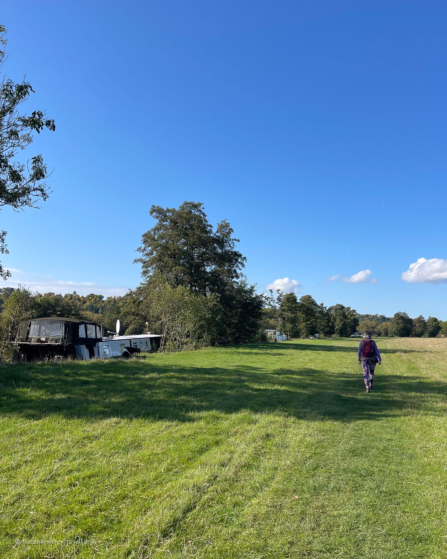
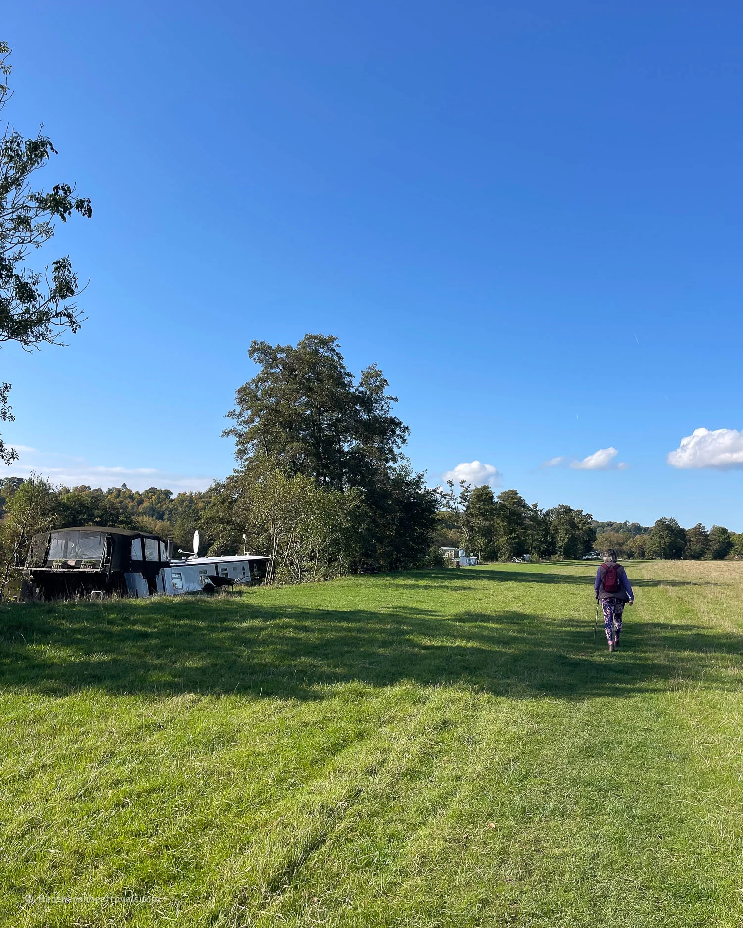
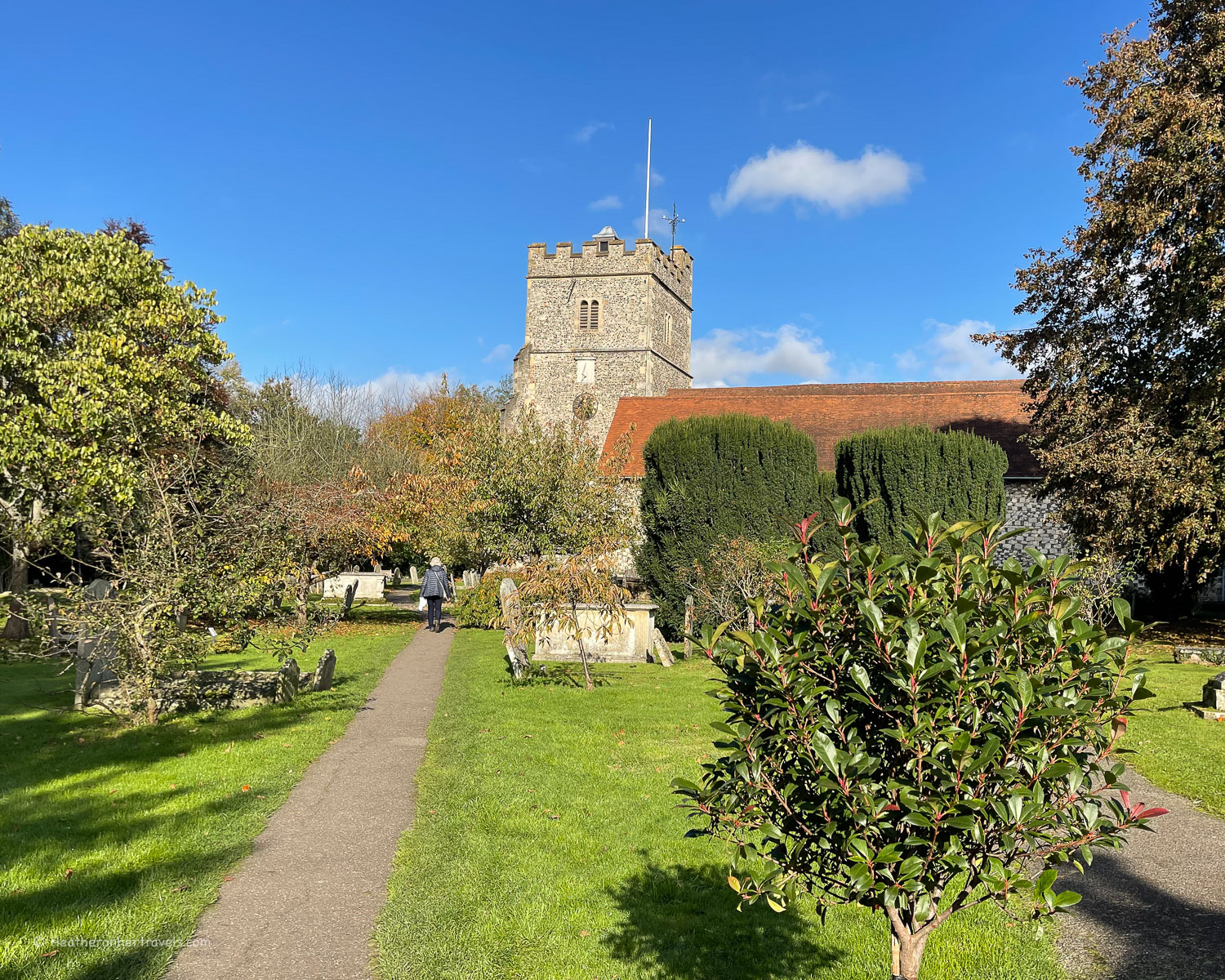
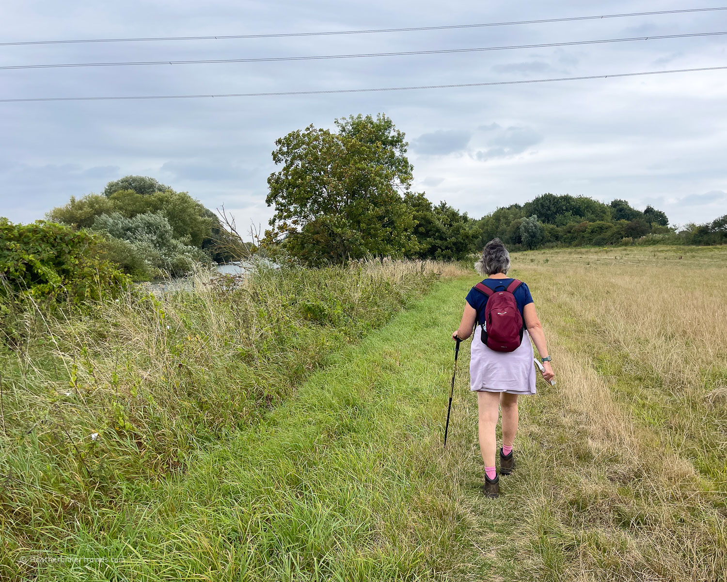
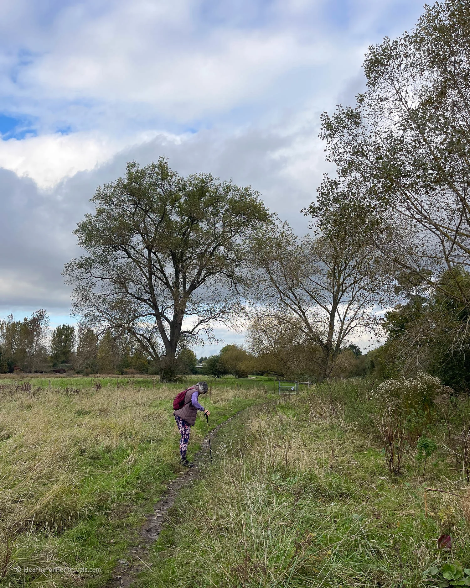
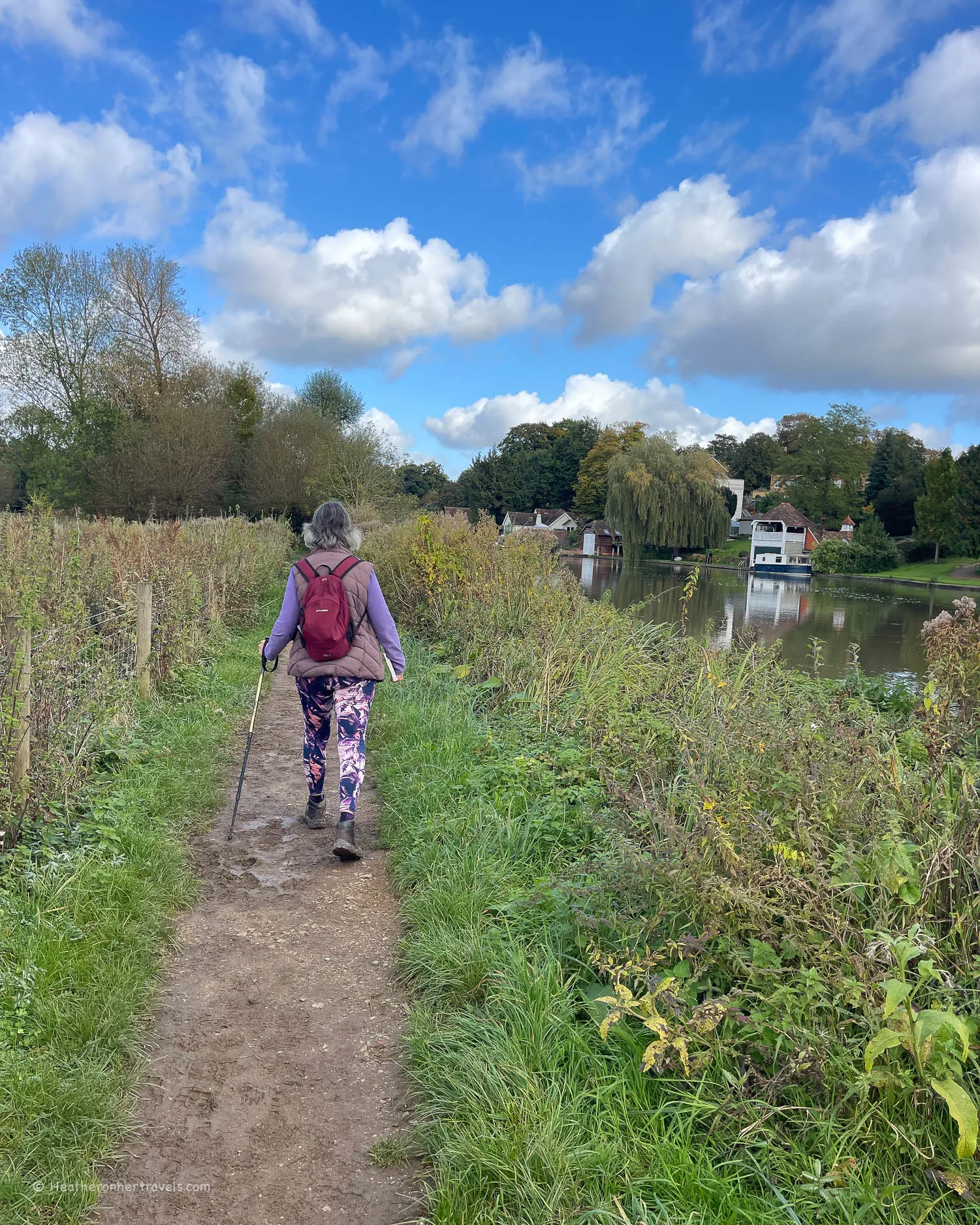
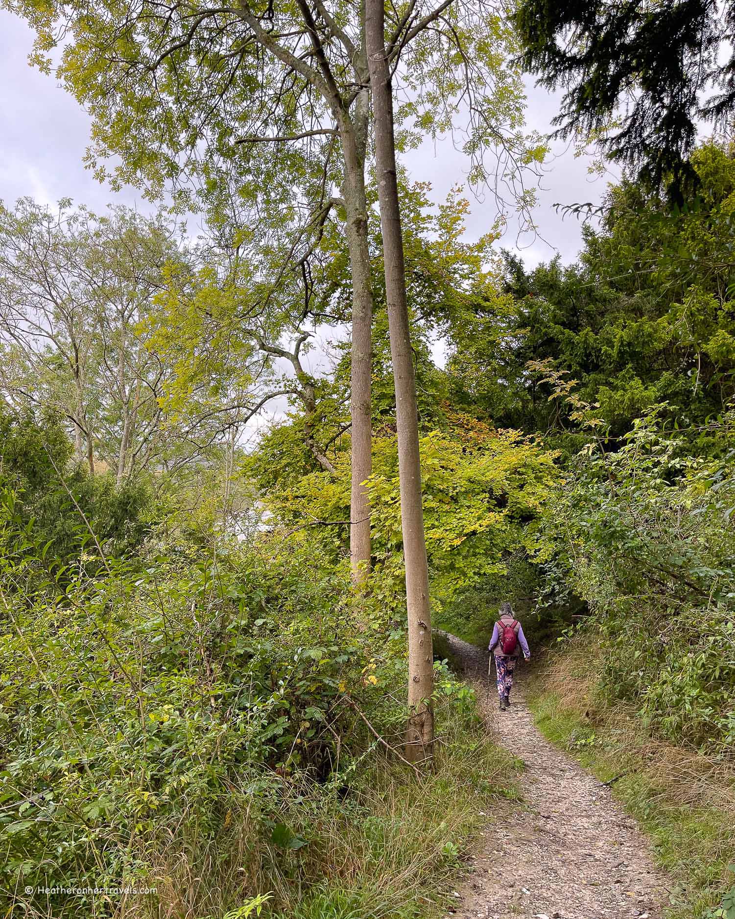
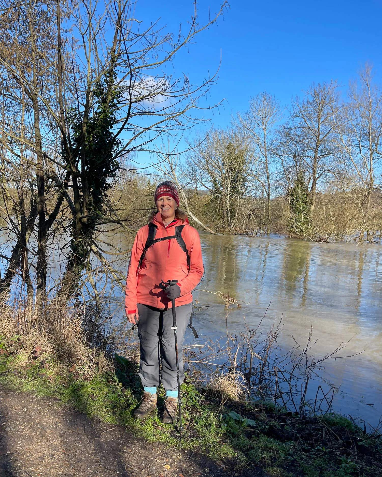
Abingdon is a pretty riverside town, named after the Medieval Abbey that was founded here. Crossing the stone bridge from the town, the path runs alongside water meadows to Dorchester and this section has a rather wild and isolated feel.
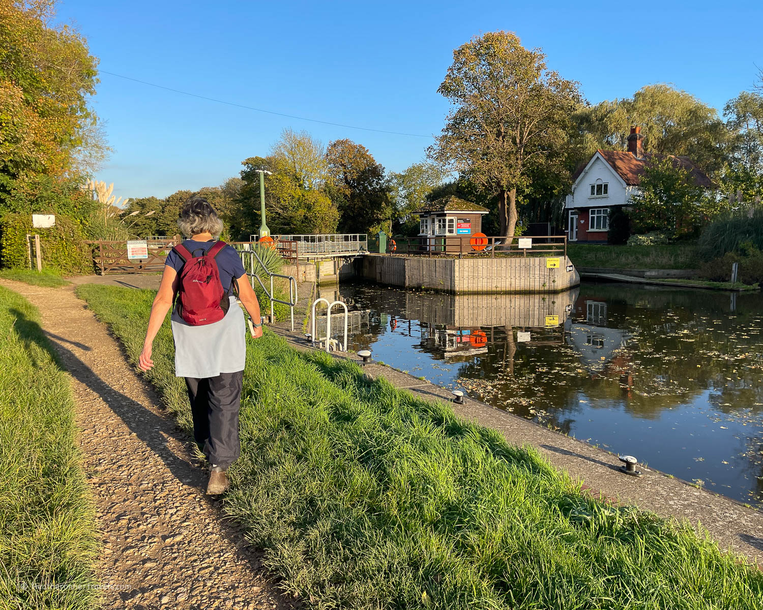
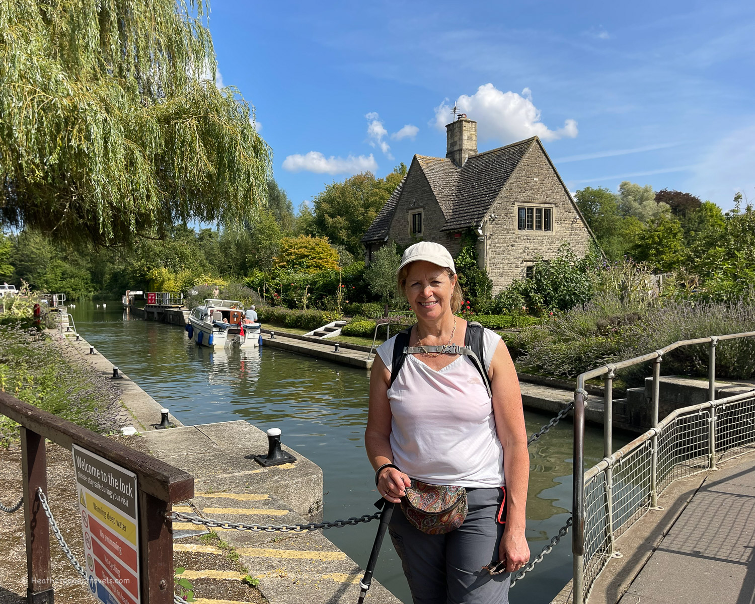
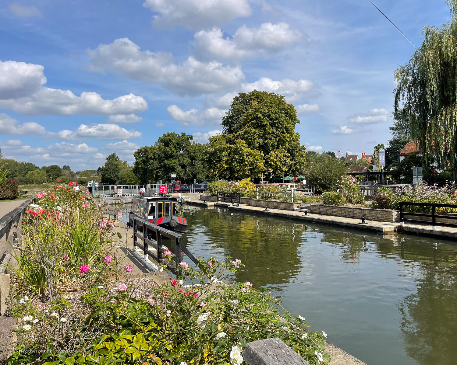
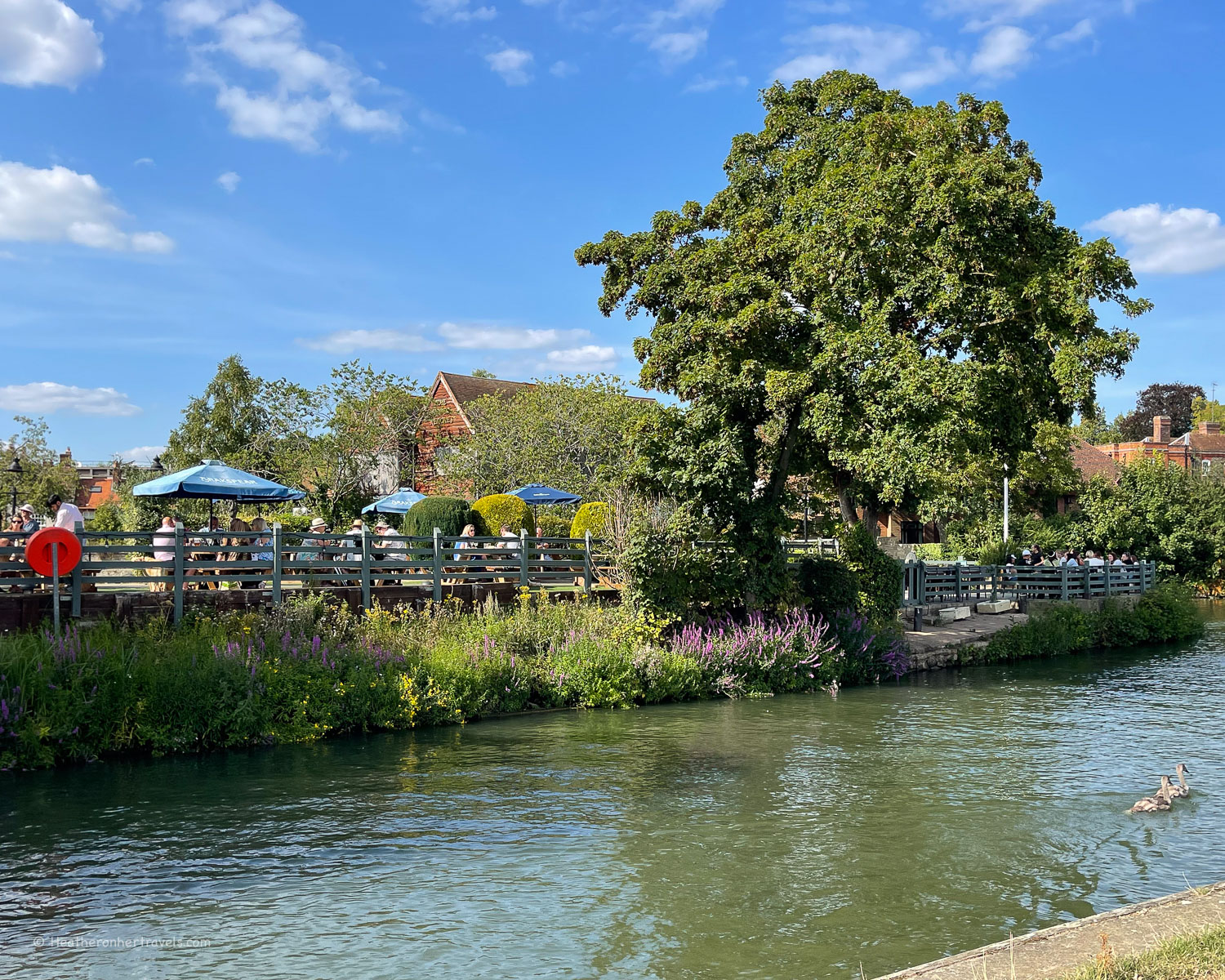
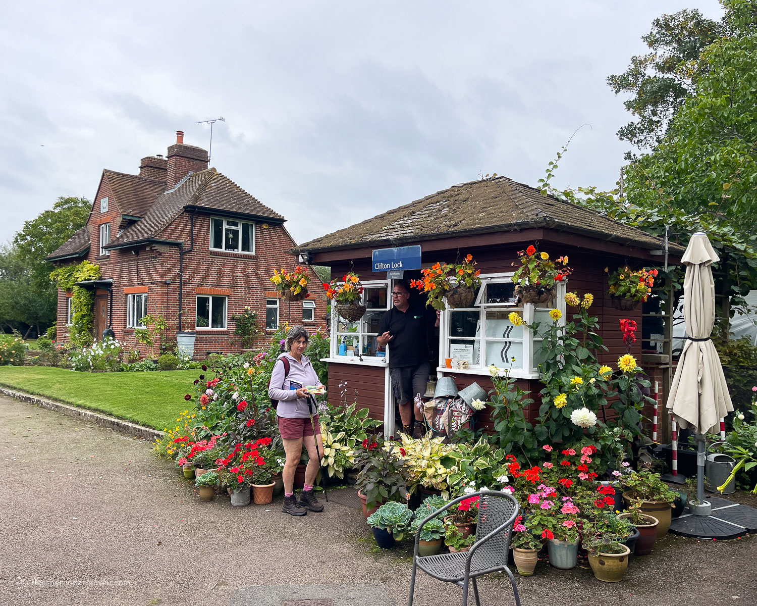
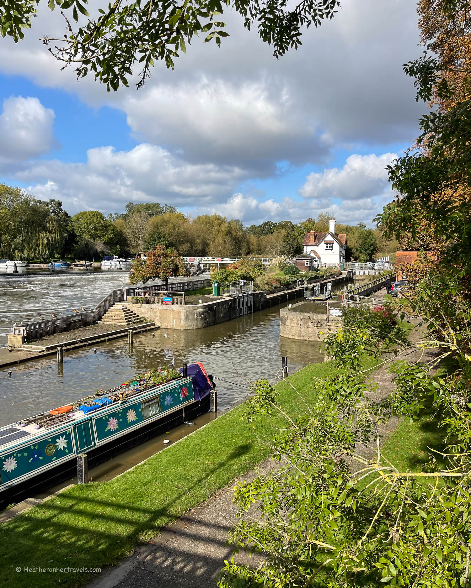
In two sections at Culham and Long Wittenham, the path follows a canal making a short cut away from the meandering loops of the river. Clifton Lock was a riot of colour with gardens in full bloom and a friendly lock-keeper who sold us ice creams.
The riverside village of Clifton Hampden makes a good lunch stop since it has this section’s only pub, The Barley Mow. Another big loop through water meadows brings you to Day’s Lock close to Dorchester, although the town is out of sight.
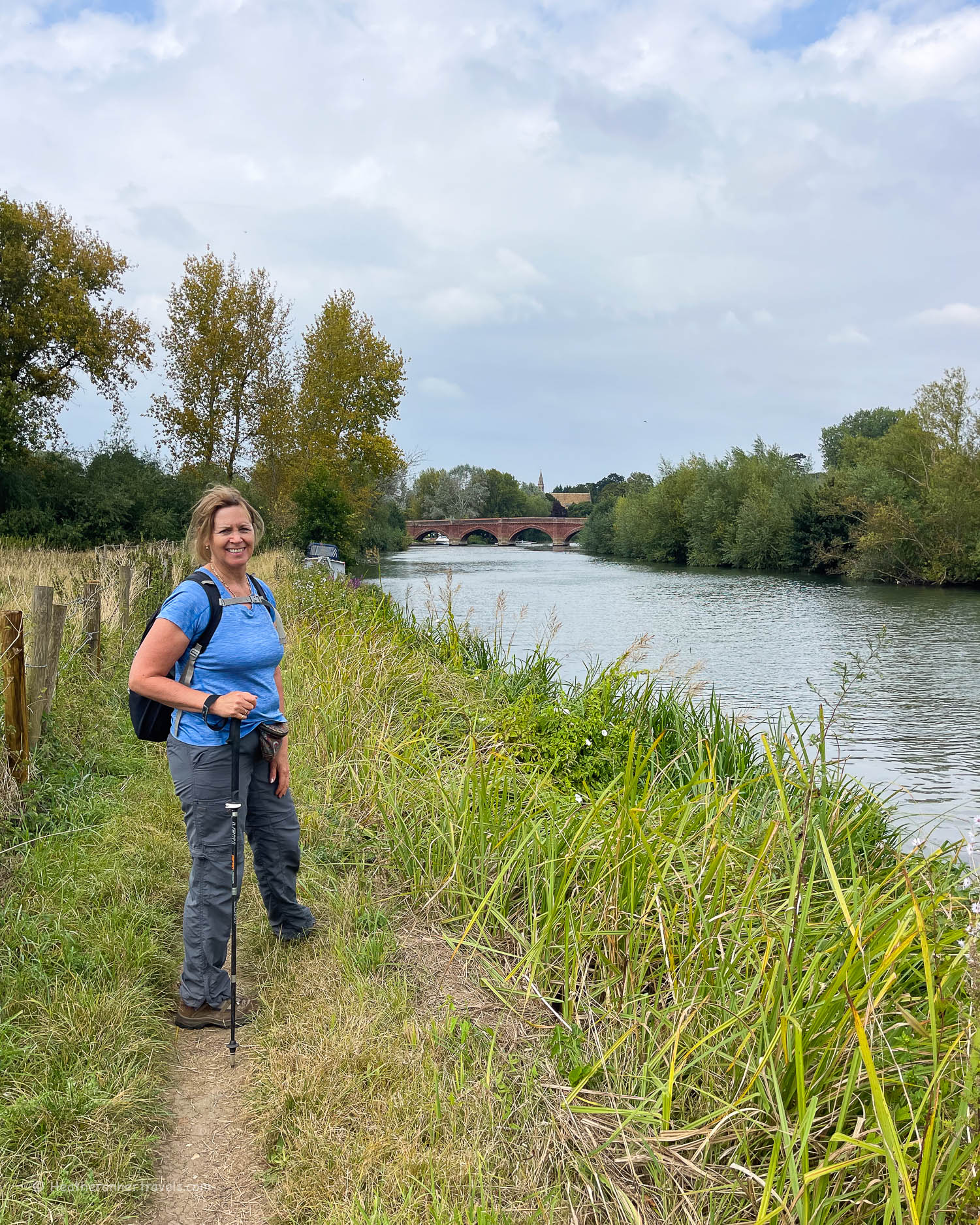
It’s possible to walk into Dorchester and break your journey here, but we continued on to Shillingford Bridge, where the footpath takes a short diversion away from the river.
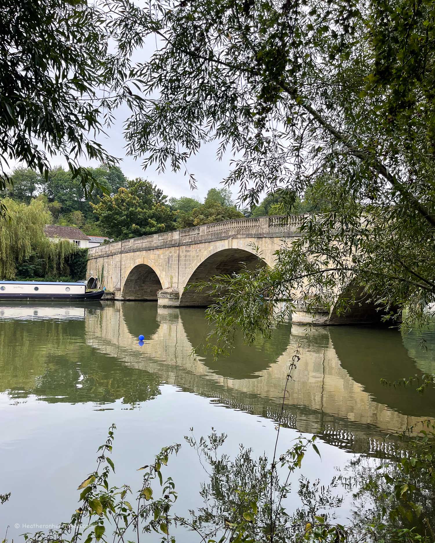
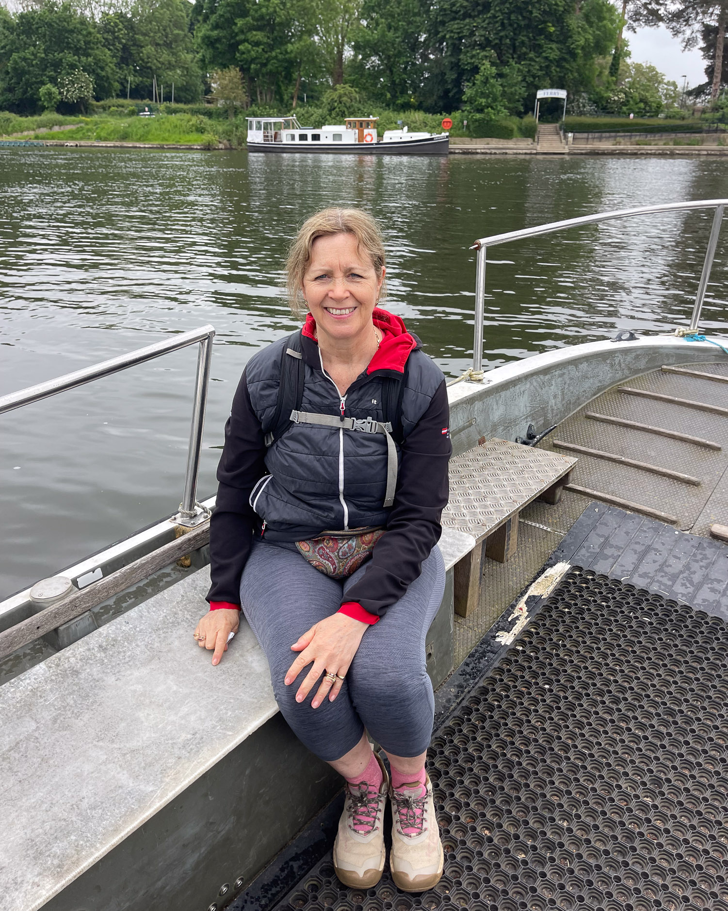
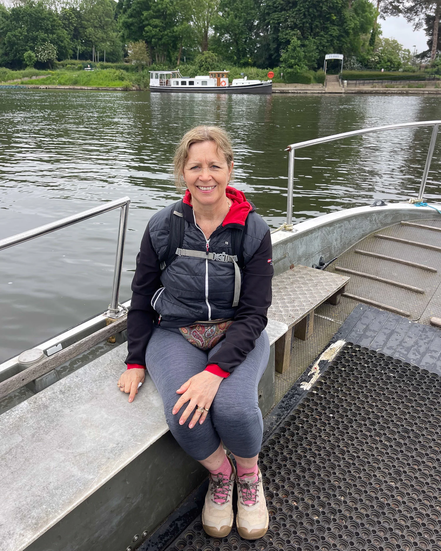
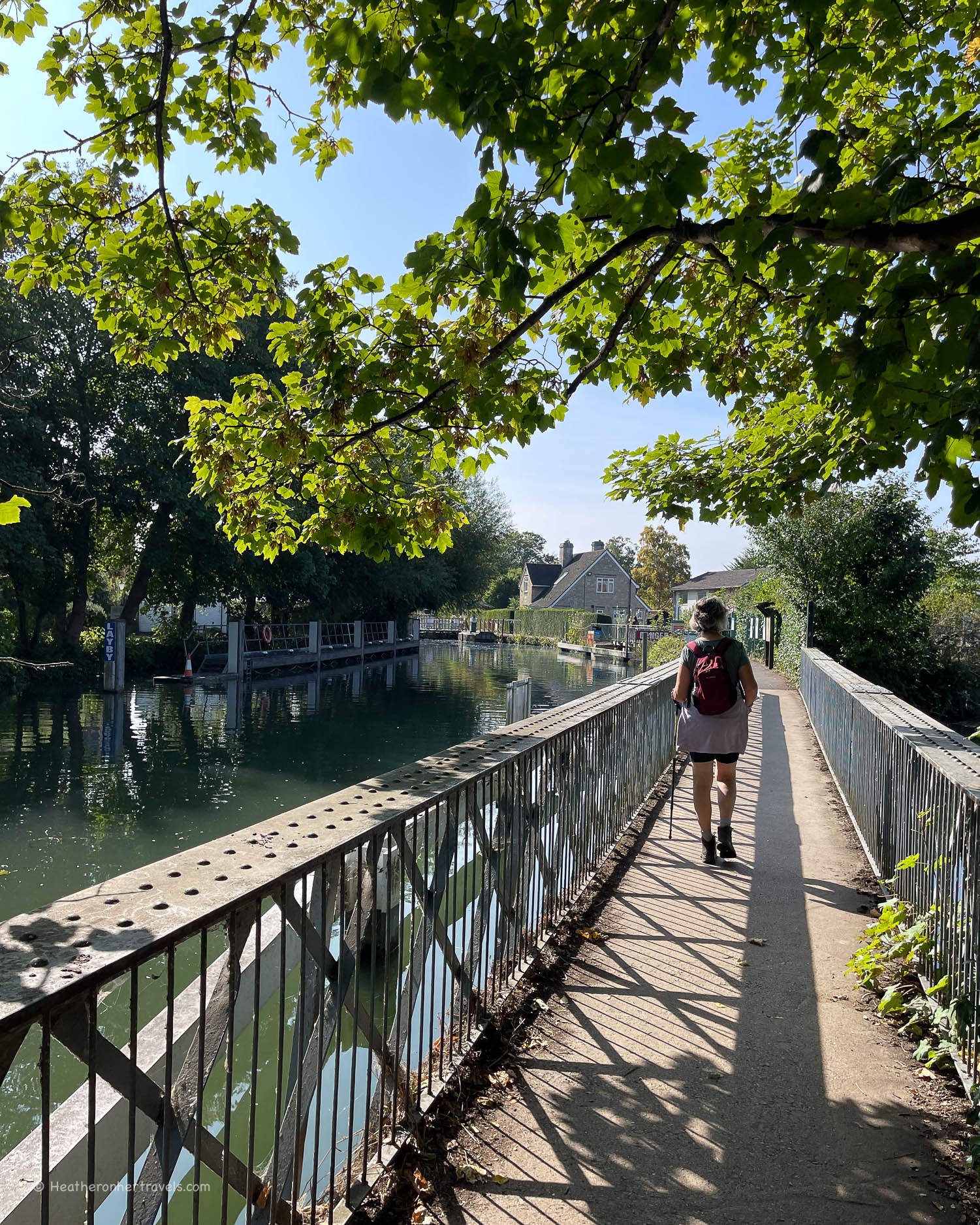
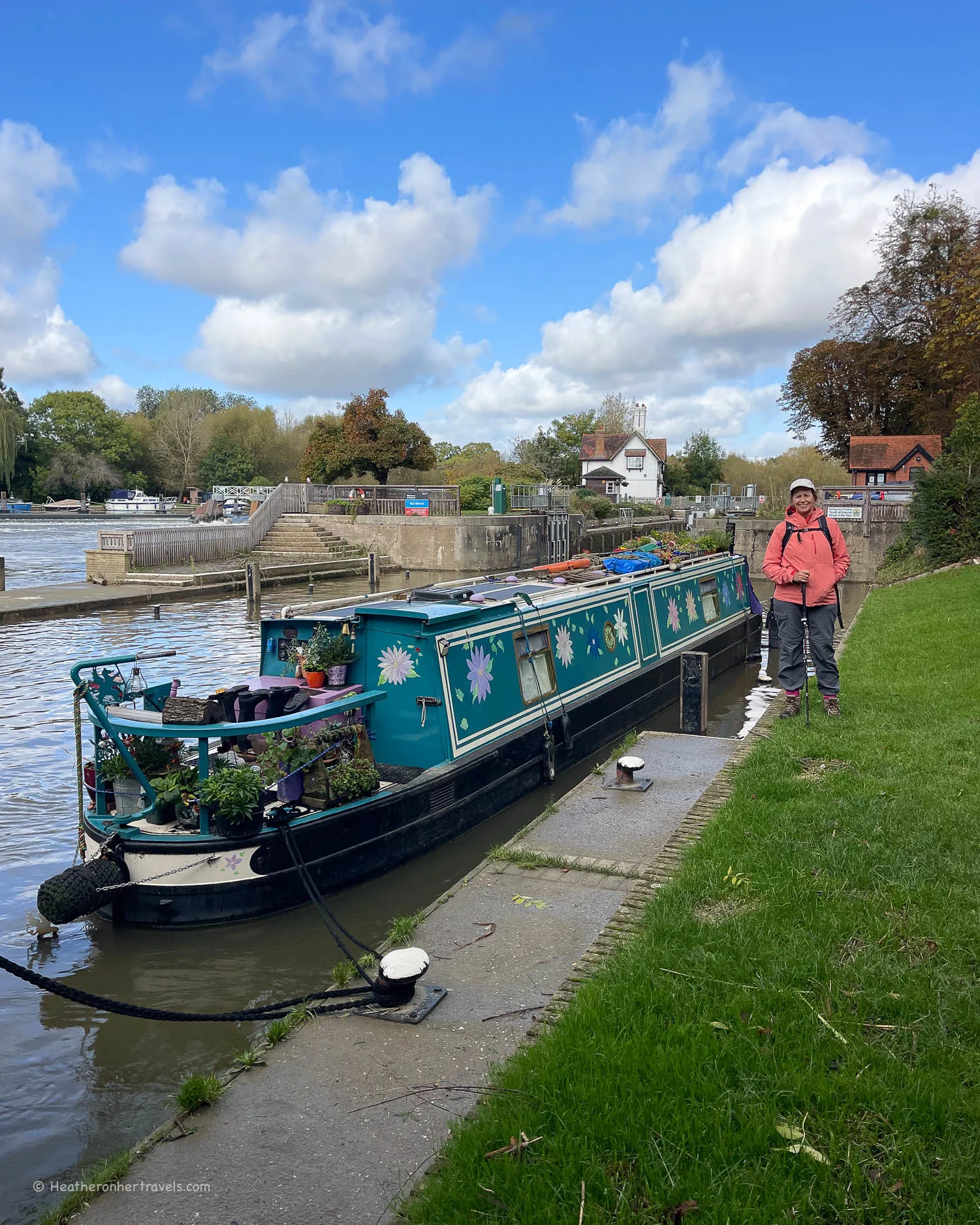
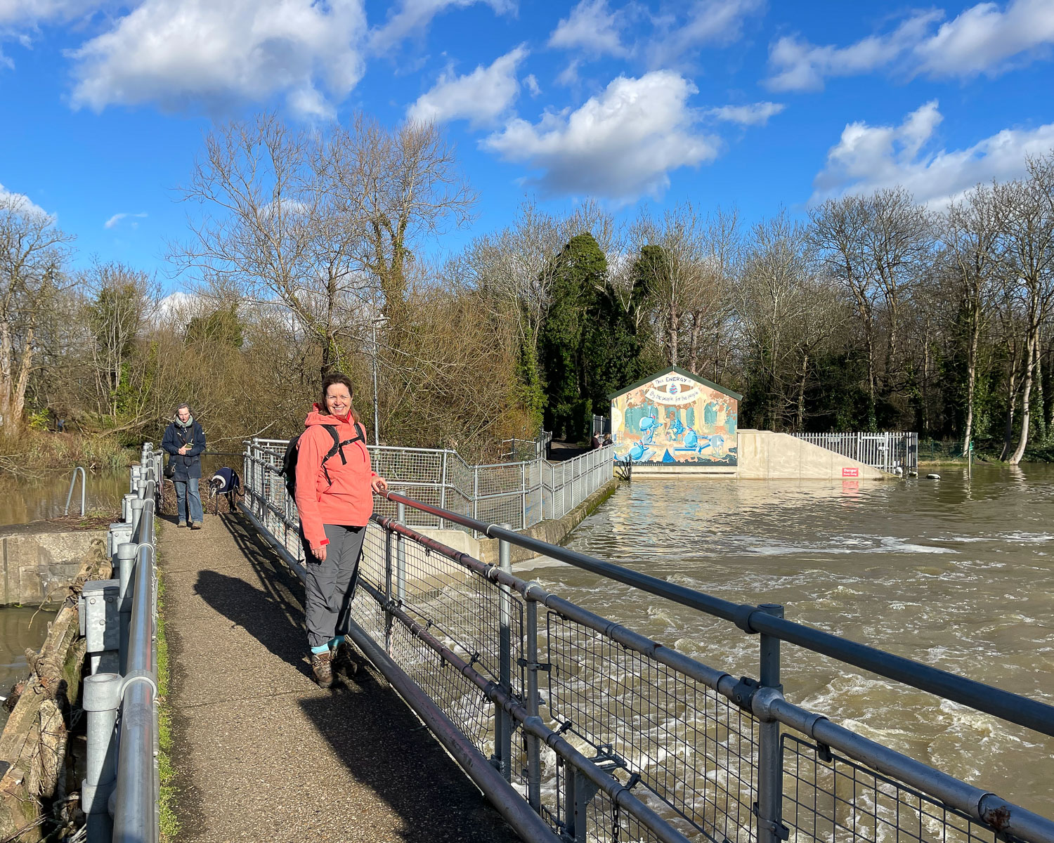
At Benson Lock you need to cross the river, but the footbridge was undergoing repairs and we took the ferry that runs back and forth instead. Check that in advance that the ferry is running, or you may have to take a diversion from the footpath to reach Wallingford. Benson Lock also has a busy Waterside Cafe, that serves the customers of the holiday boat hire business that operates from here.
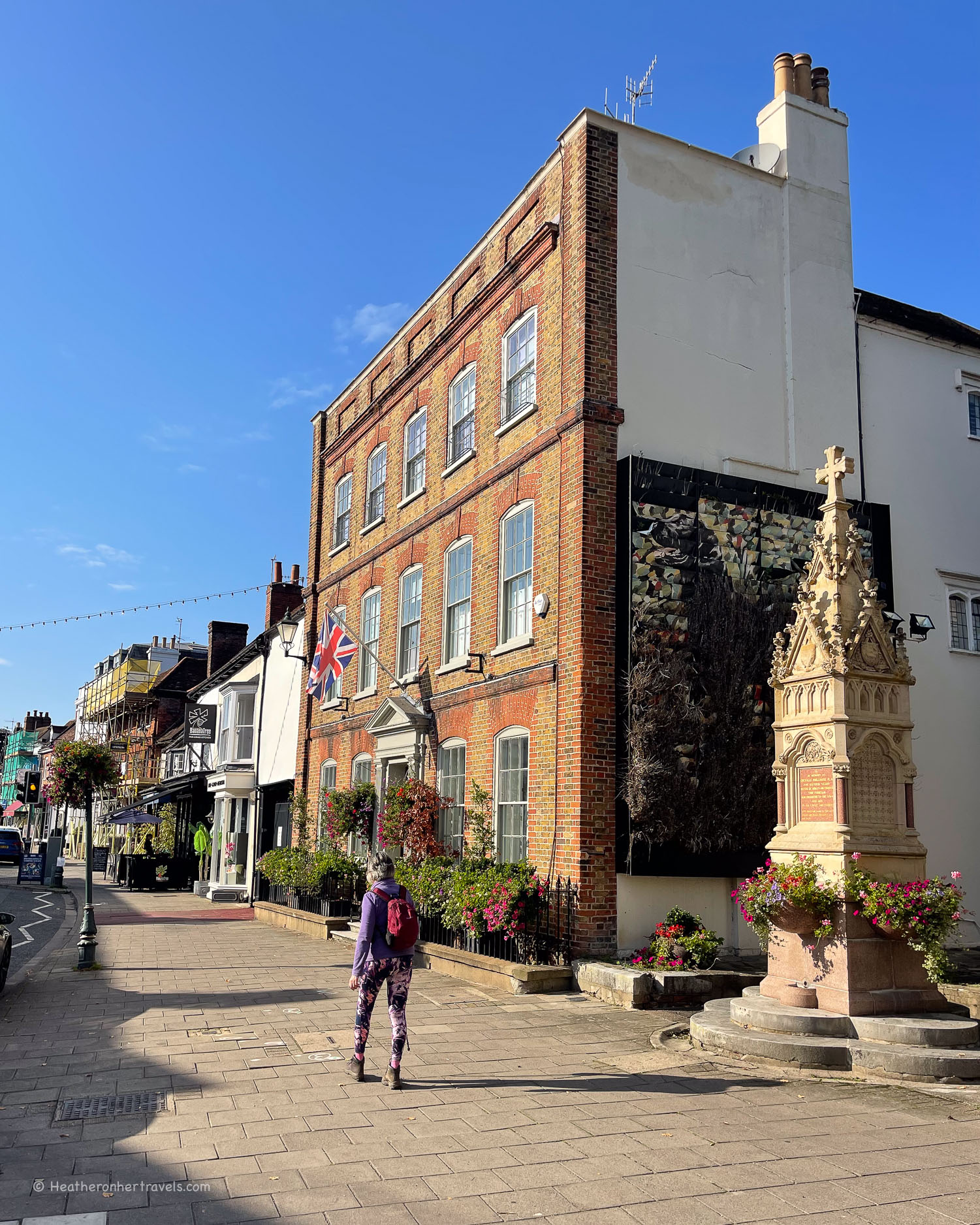
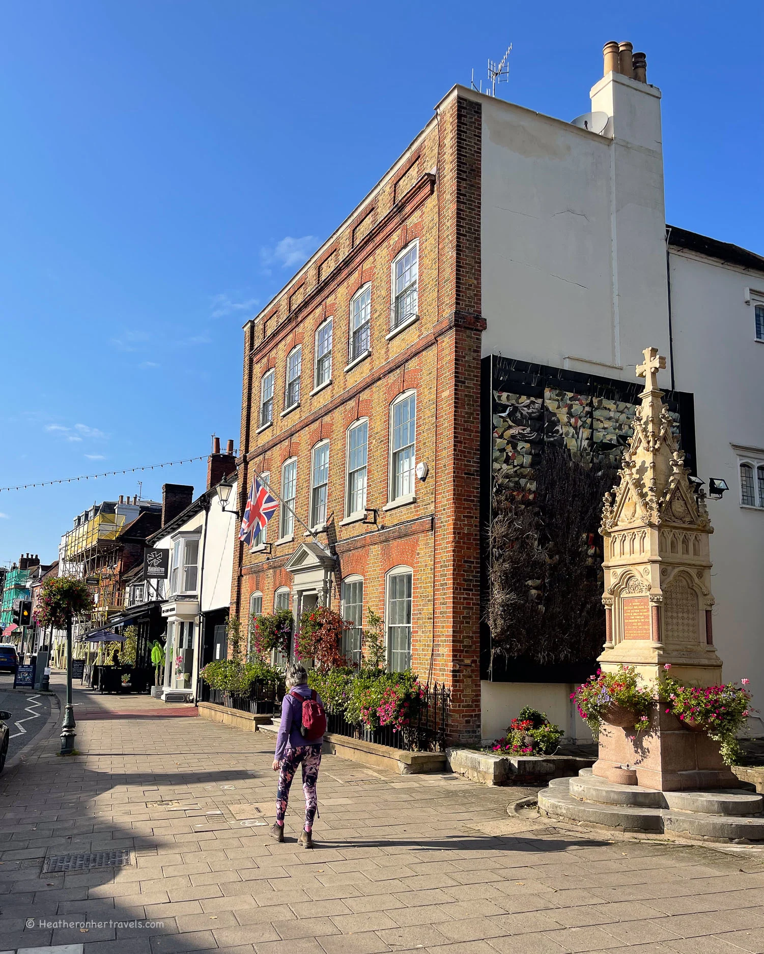
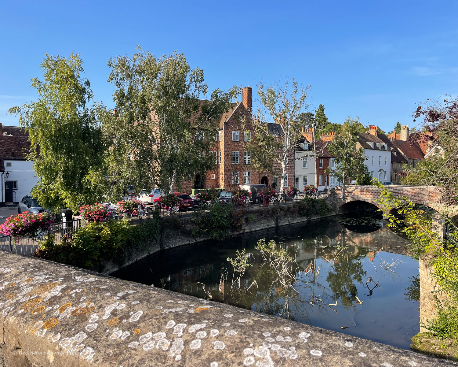
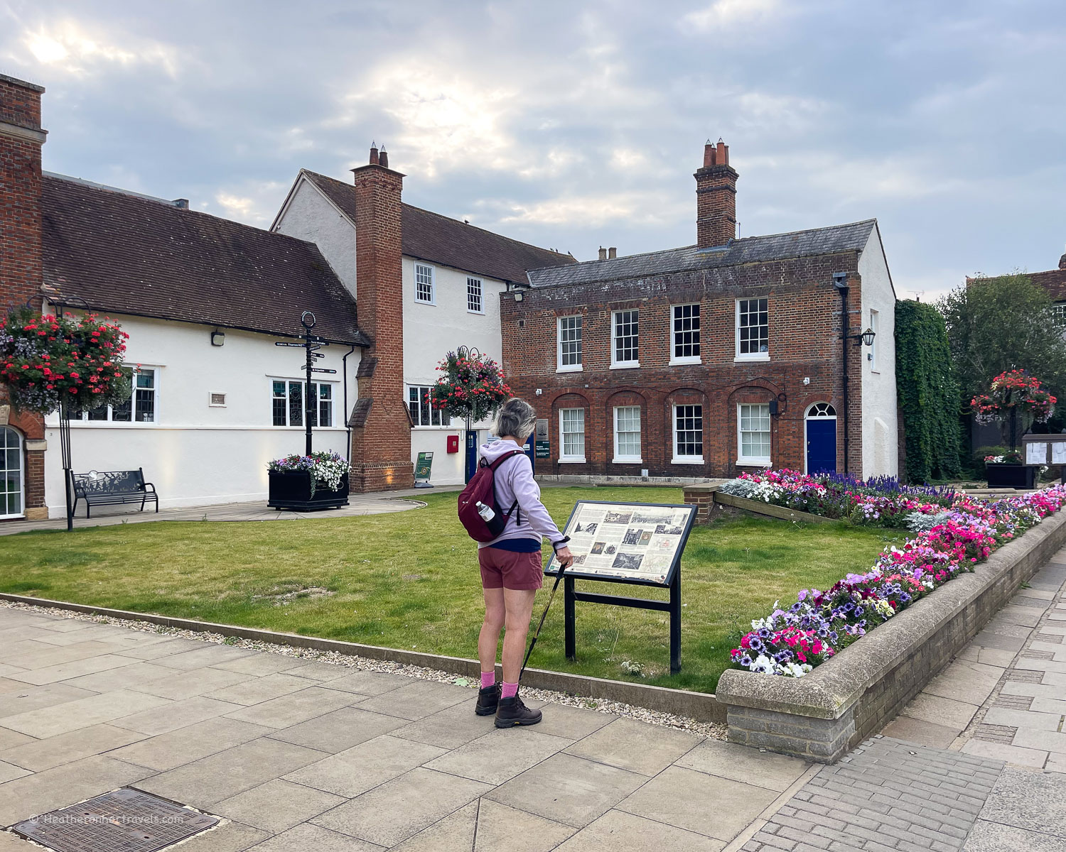
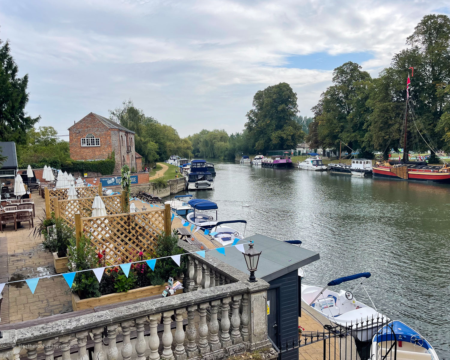
Once you’ve crossed by ferry at Benson Lock, it’s a short walk to Wallingford, an attractive market town with shops and cafes around the central square.
Day 6 – Distance and timings
Abingdon to Wallingford is aprox 14 miles / 22.5 km. This was one of our longer days but it could be broken into 2 shorter legs at Dorchester. It took us around 7.5 hrs to walk, including a coffee at Benson Lock, picnic break and drink at Clifton Hampden.
Day 6 – Where to stay
Abingdon – there’s a wide range of pubs, hotels and guest houses. For charming and affordable accommodation, we recommend S Howard B & B where we stayed, or for a centrally located alternative try Old Abbey House.
Wallingford also has a few places to stay, we recommend The Town Arms, which is centrally located.


In Wallingford The Town Arms has a comfortable rooms, a restaurant and pub garden
Day 6 – Where to eat
Abingdon – there are many shops and supermarkets to buy picnic supplies.
Clifton Hampden – on the stretch between Abbingdon and Dorchester the only pub is The Barley Mow, and the post office here also stocks some basic food supplies.
Dorchester – the town has pubs and restaurants but is a bit of a walk away from the Thames Path.
Wallingford – close to Wallingford, you could stop for coffee or lunch at the Waterfront Cafe at Benson Lock. Wallingford is a charming small town, with many shops and cafes.
Day 6 – Transport for this stage
Abingdon – there is no station at Abingdon, the nearest being at Radley. From London change at Didcot Parkway, for the branch line to Radley, then take the No 35 bus.
Wallingford – there is no station at Wallingford, the nearest being at Cholsey. From London Paddington take the train to Cholsey, then take the No 136 bus to Wallingford. The No 33 bus runs between Abingdon and Wallingford, with a journey time of 1 hour.
Options by car – At Abingdon, there are several public car parks to choose from, to leave your car for the day. For this leg we left our car in the car park at Abingdon, took the No 33 bus to Wallingford, walking the Thames path back to Abingdon.
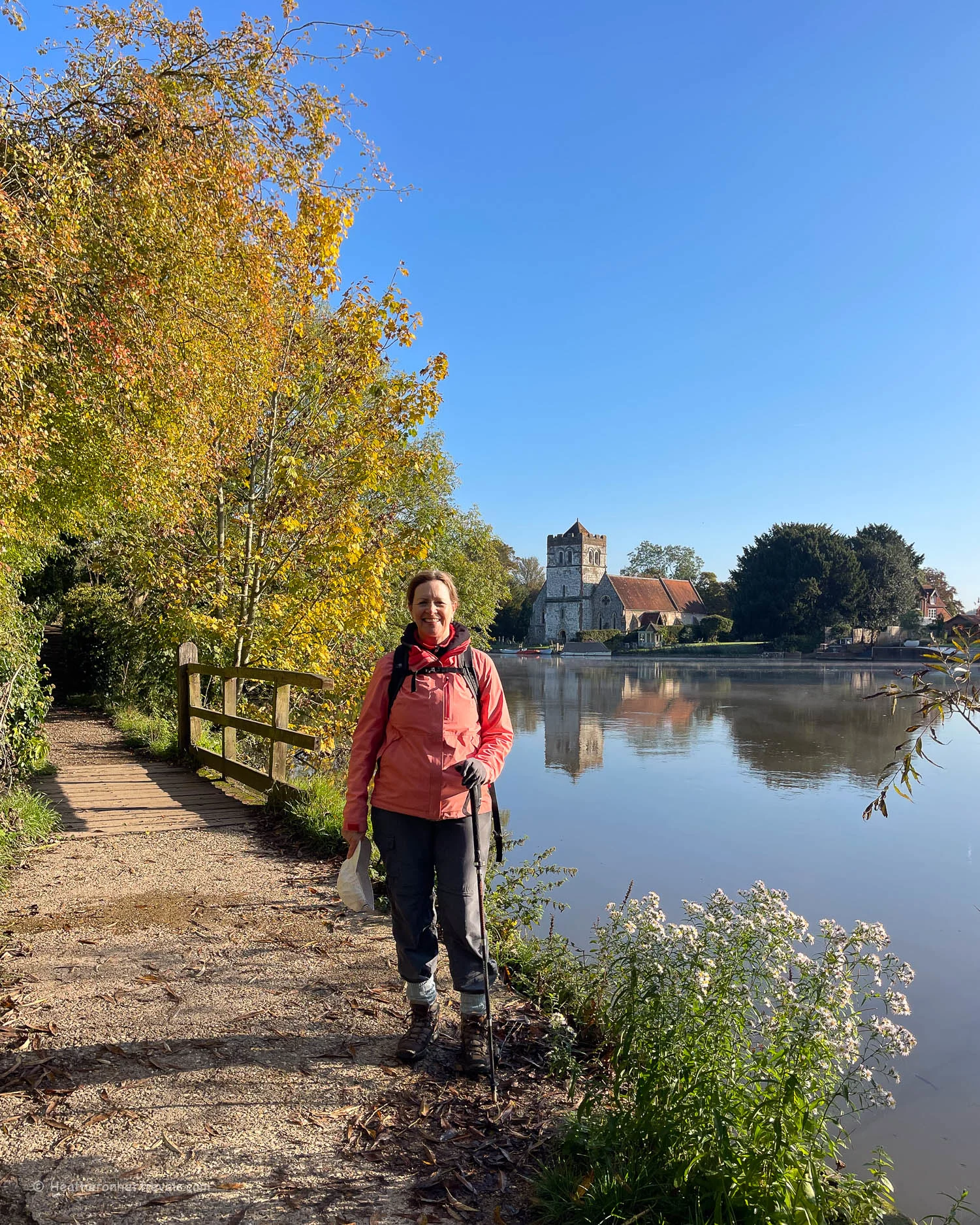
Day 7 – Wallingford – Goring – Pangbourne
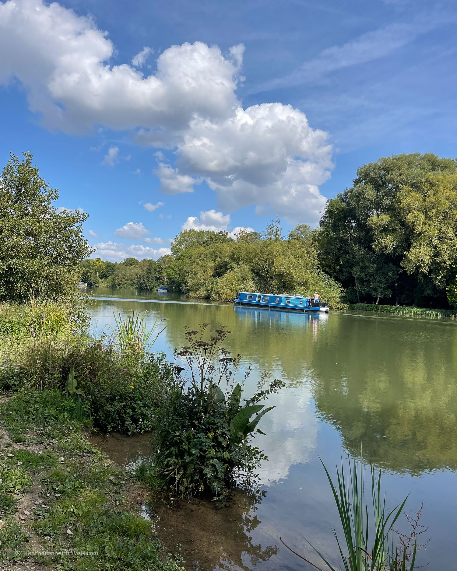
This was one of my less favourite stages of the Thames path, as much of it ran through woodland or was out of sight of the river. However the section around Goring was more attractive with views of pretty Edwardian boathouses on the opposite bank.
Leaving Wallingford, the path was at first quite muddy around Watermead Nature Reserve and we passed some impressive boathouses, owned by Oxford Brookes University.

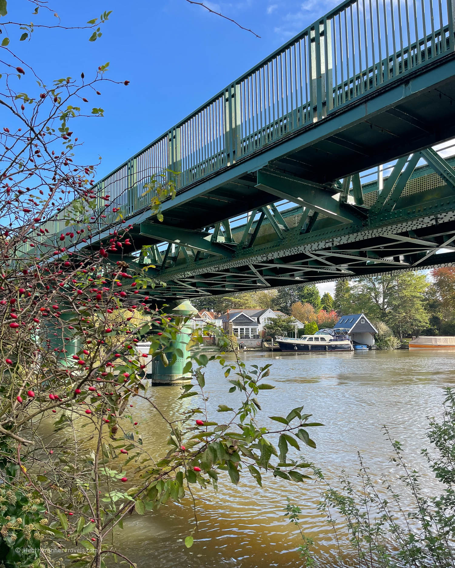
We passed under the double arch railway bridge, constructed by celebrated engineer Isambard Kingdom Brunel. While undoubtedly a feat of Victorian engineering, it had a rather damp and spooky atmosphere!
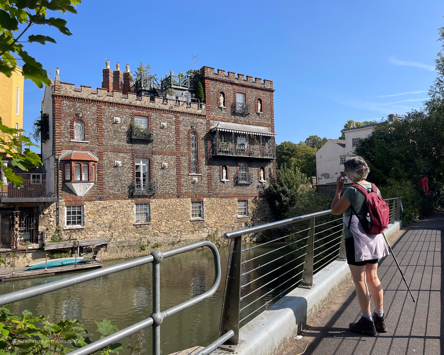
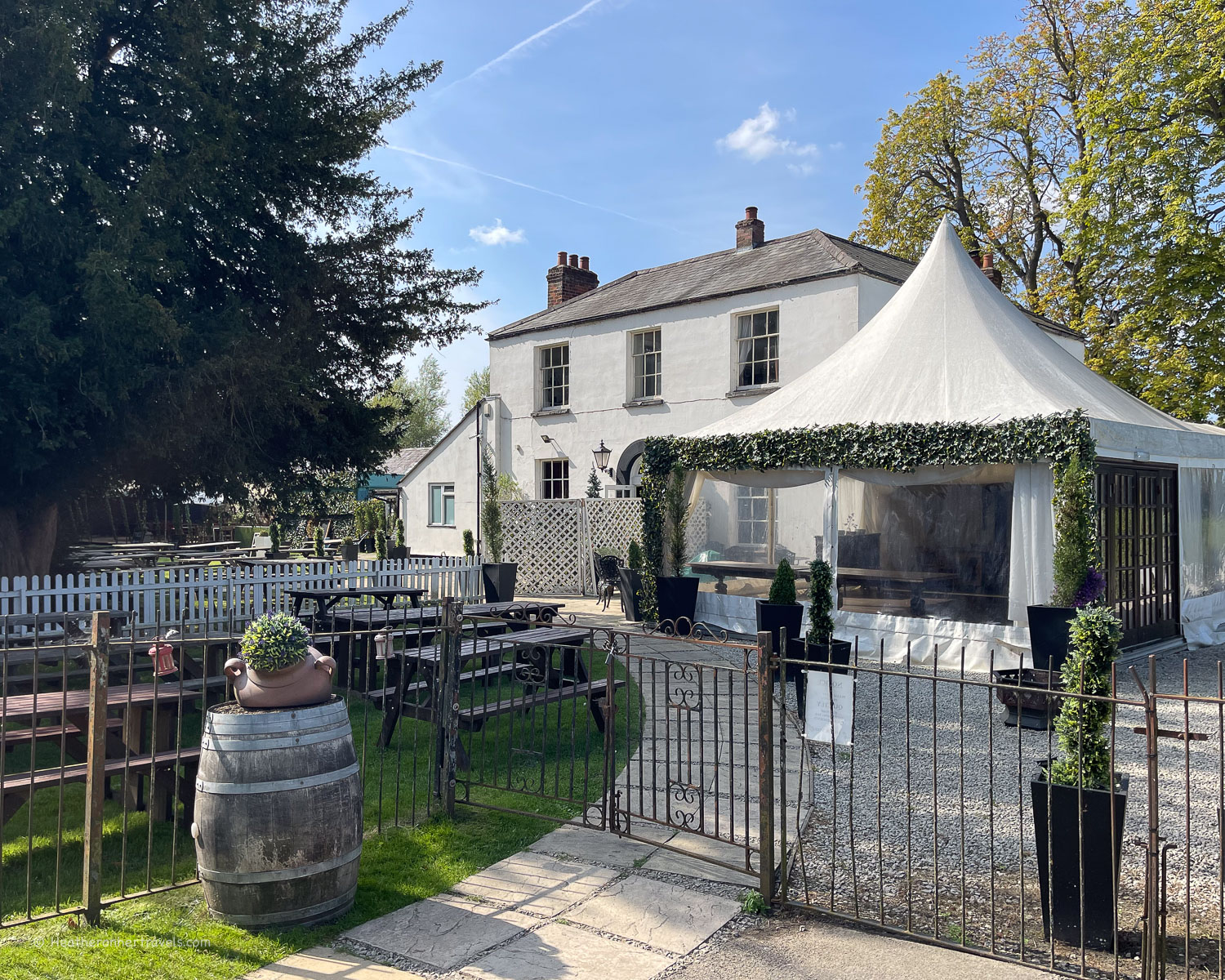
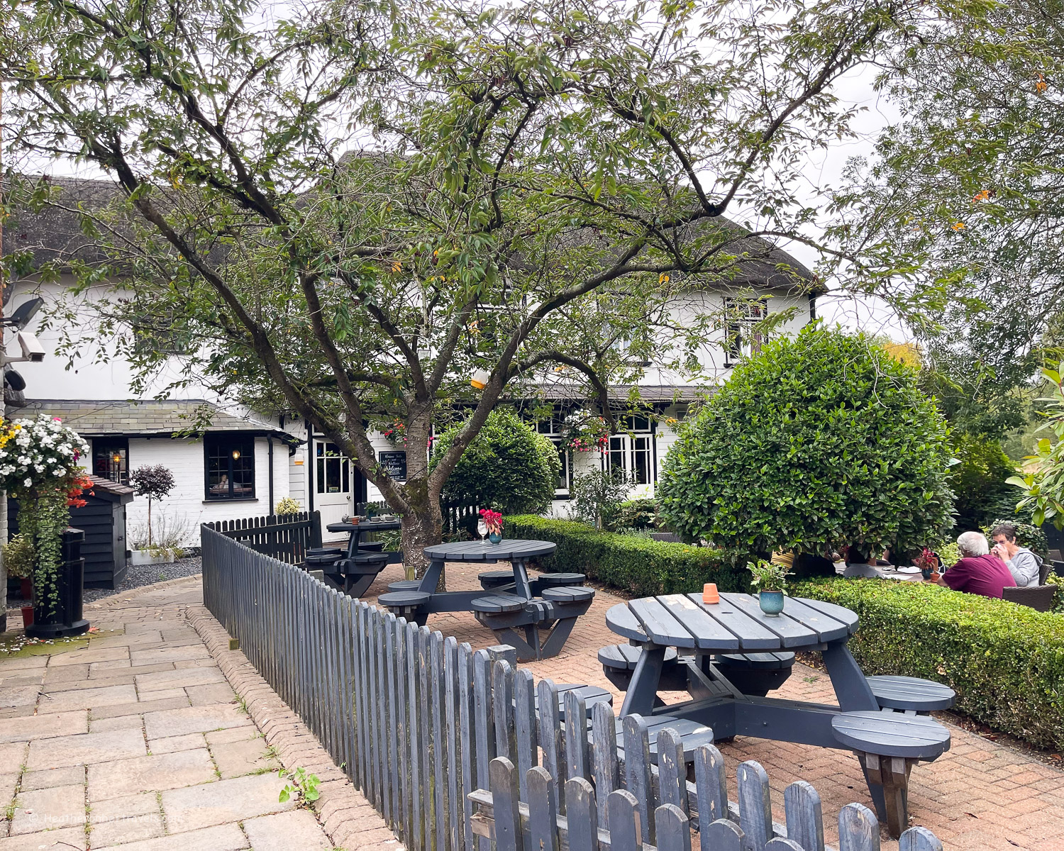
Around Moulsford the path runs briefly away from the river, before arriving at the Beetle and Wedge, a pleasant riverside inn, where we ordered a drink and sat outside overlooking the river. Soon after, look out for the Egyptian House, a modern mansion with colourful Egyptian motifs which felt quite out of keeping with the rural English setting.

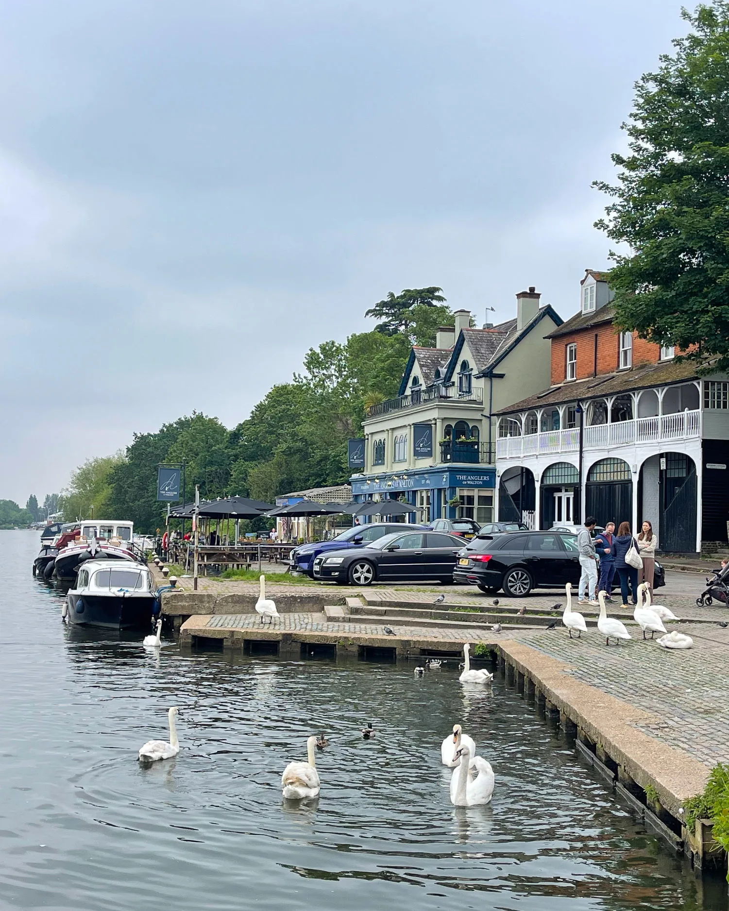
Running alongside the river, the path now brings you past the Swan Inn at Streatley (its Coppa Club bar is a good coffee or lunch stop), on the opposite bank from the town of Goring. An alternative on the Goring side of the bridge, is the busy Pierreponts Cafe.
Goring was an ancient crossing place of the Thames and marks a change in landscape from the flatter Oxford plain upstream, to the steeper sided valley downstream.

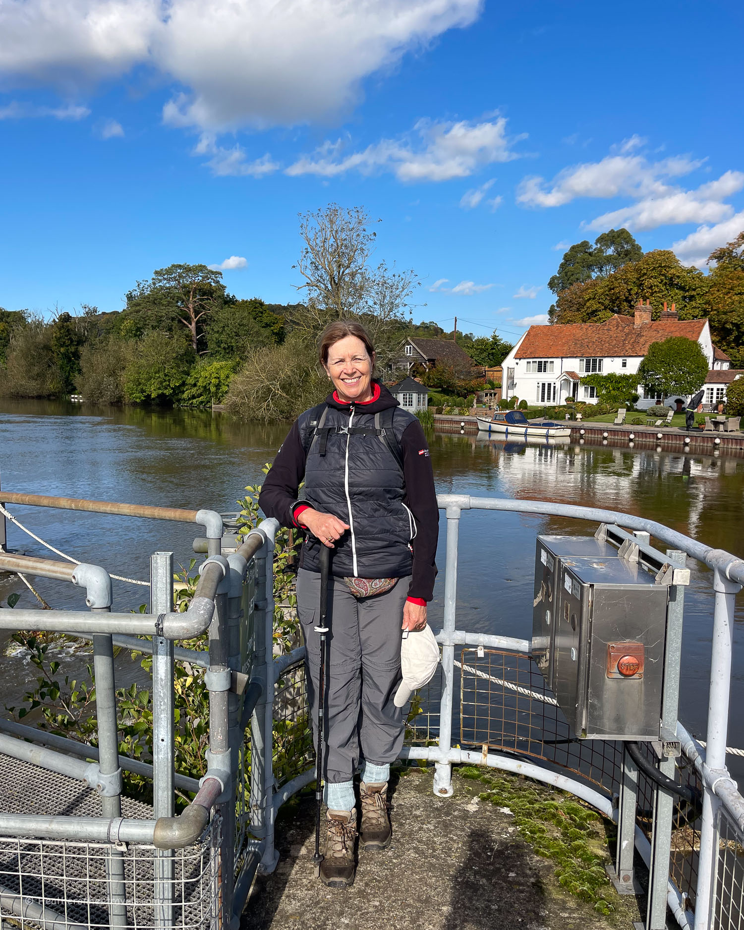
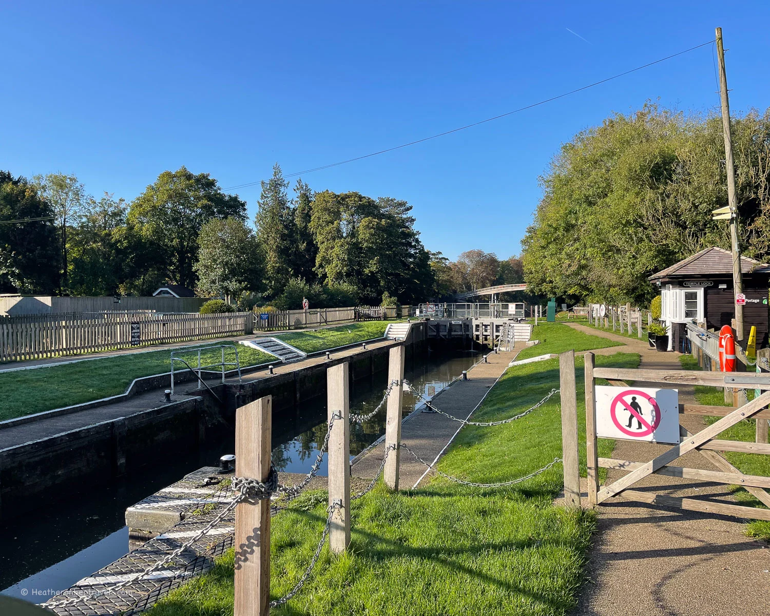
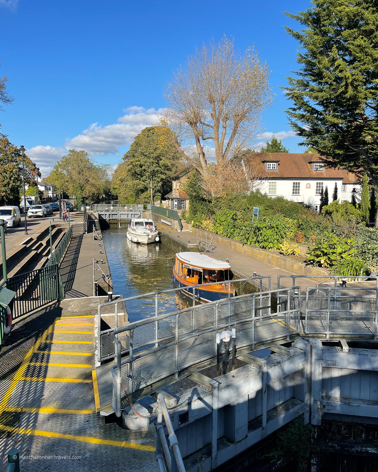
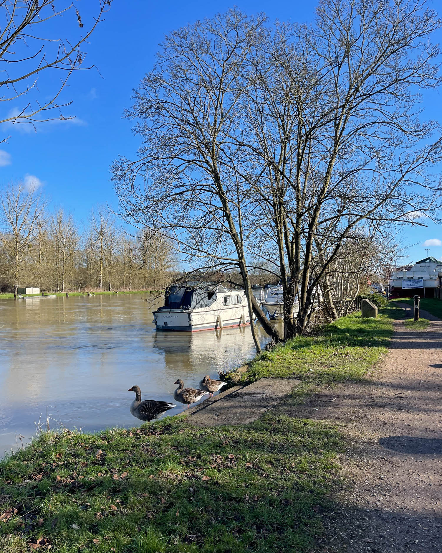
Having crossed the river at Goring, the path now continues on the northern bank, past the attractive Goring lock, with its canal boat moorings.
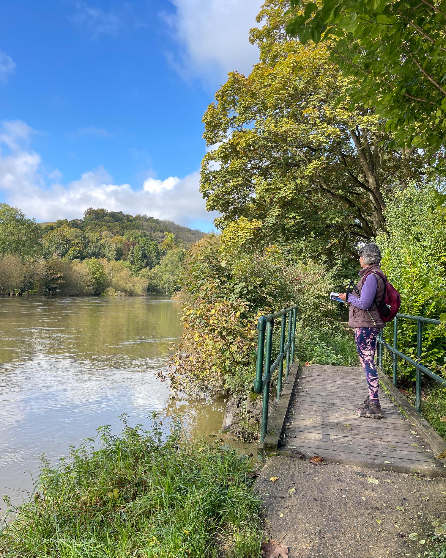

After a short flat stretch beside the river, the path climbs and unusually runs on the side of a chalk cliff through Hartslock Wood, with glimpses of the Thames below through the trees.
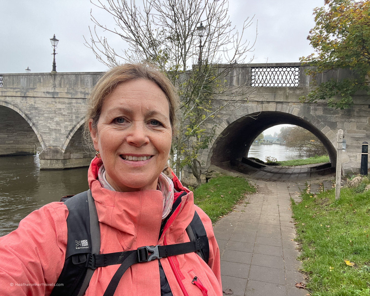
The final stretch into Pangbourne runs away from the river through Whitchurch, before bringing you back to the Victorian iron Whitchurch toll bridge (a small charge for cars but free for pedestrians).
Day 7 – Distance and timings
Wallingford to Pangbourne is aprox 11 miles / 17.6 km. This was a comfortable day’s walk but could be broken into 2 shorter legs at Goring. It took us around 6 hrs to walk, including a coffee at Goring and a picnic break at the Beetle and Wedge Riverside pub.
Day 7 – Where to stay
If staying in Wallingford, we recommend The Town Arms, which is centrally located.
In Wallingford, The Town Arms has comfortable rooms, a restaurant and pub garden.
In Pangbourne, we recommend the boutique style Elephant Hotel which is in the centre of town.
Day 7 – Where to eat
Both Wallingford and Pangbourne are small towns, with a range of shops and cafes.
On the section between Wallingford and Goring, the Beetle and Wedge is a friendly riverside pub, with outside and inside seating. We didn’t find anywhere to stop between Goring and Pangbourne.

Goring and Streatley – the options closest to the river are the Pierreponts Cafe and the Coppa Club on the other side of the bridge at Streatley. Both of these serve coffees, snacks and lunches, although the Pierreponts Cafe is quite small. So if it seems busy head to the more spacious Coppa Club within The Swan Hotel instead. If you need picnic supplies, there are also shops in Goring.

Day 7 – Transport for this stage
Wallingford – there is no station, the nearest being at Cholsey. From London Paddington take the train to Cholsey, then the No 136 bus to Wallingford.
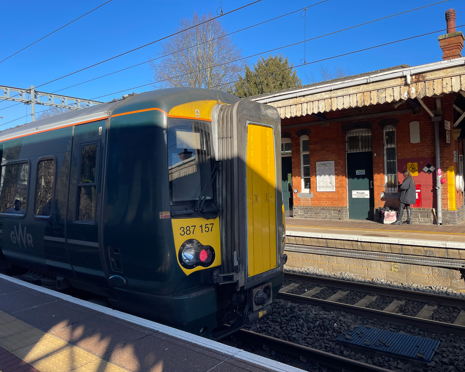
Pangbourne – there is a station, which is on the GWR route from Bristol Parkway to London Paddington, with direct connections to Reading and Maidenhead, both on the Thames Path.

Options by car – For this leg we left our car in the Cattlemarket car park at Wallingford, took the No 136 bus from Wallingford to Cholsey (11 mins), then the train from Cholsey to Pangbourne (20 mins). Then we walked on the Thames path from Pangbourne back to Wallingford.
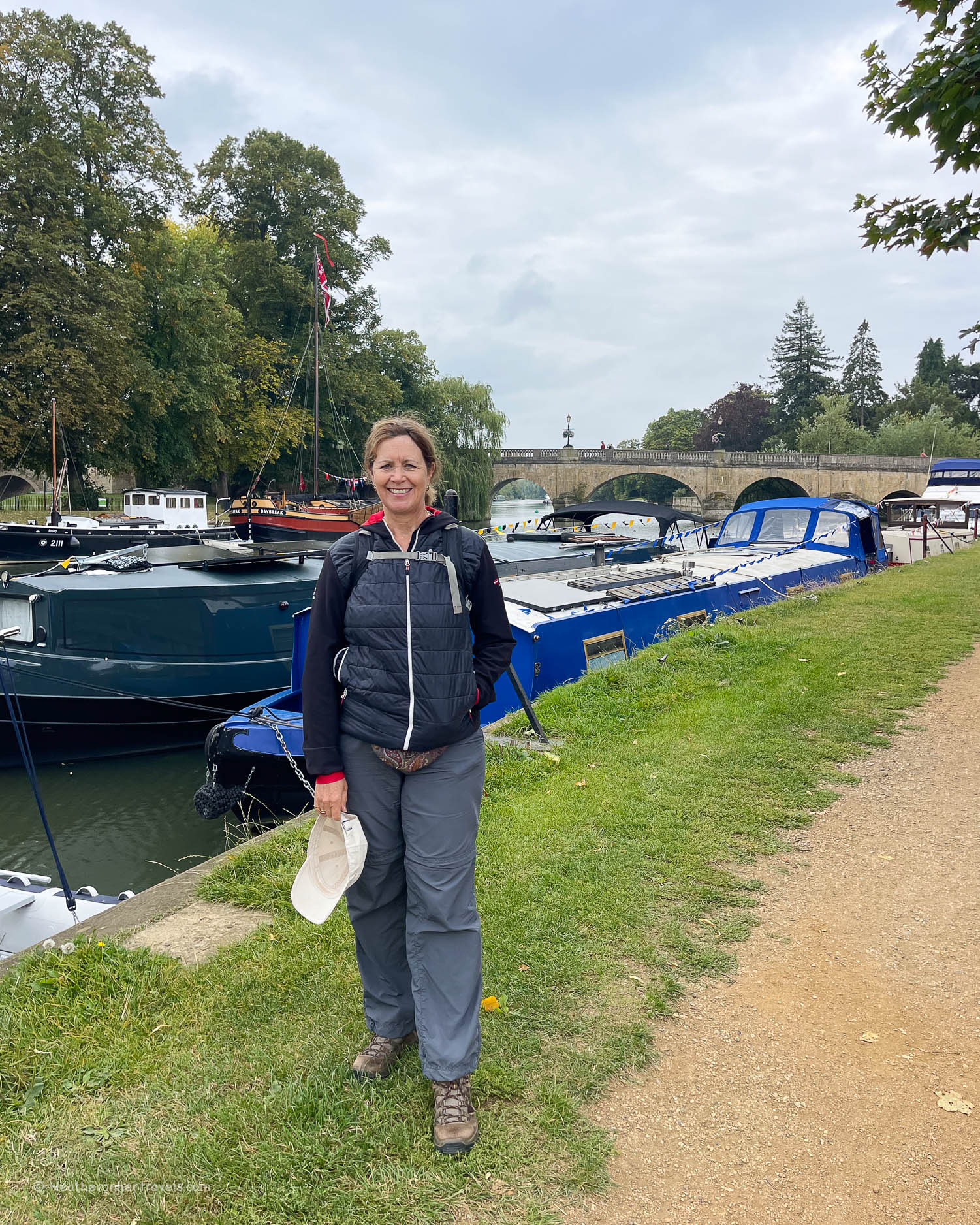
Day 8 – Pangbourne – Reading – Henley
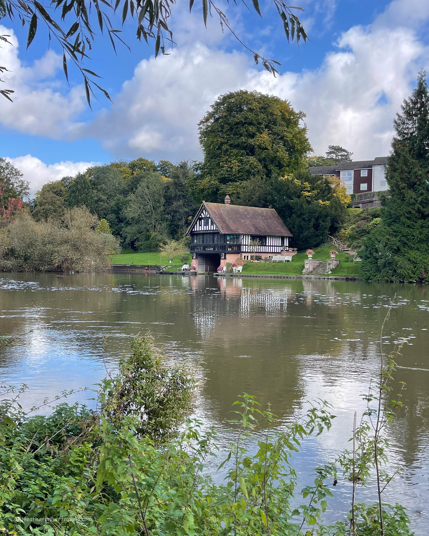
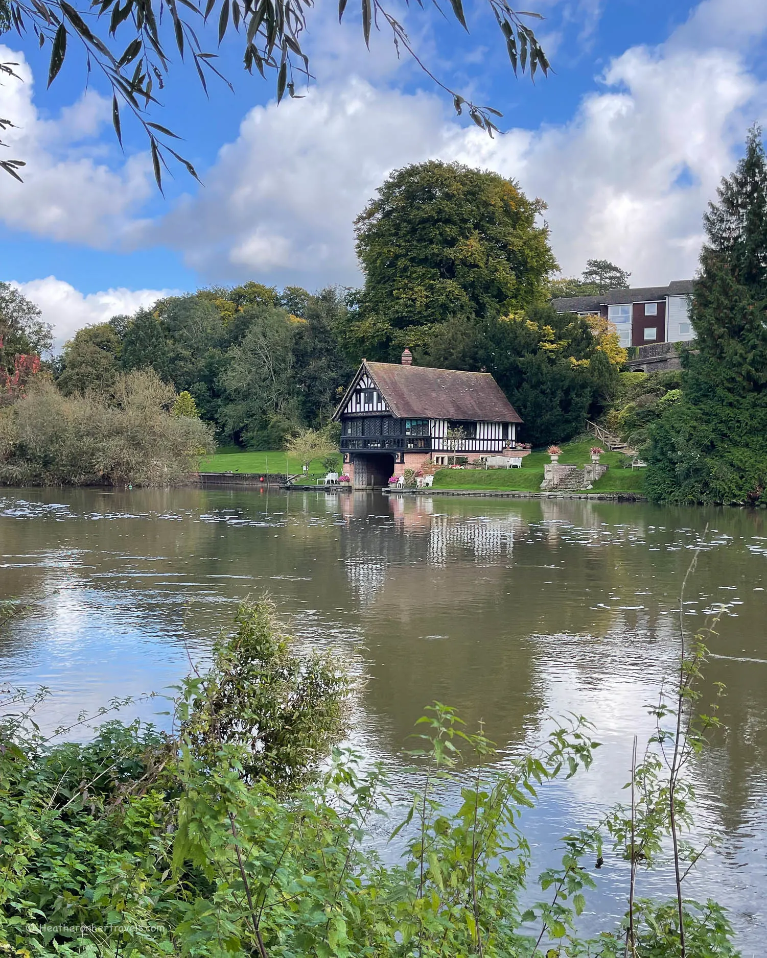
On leaving the small town of Pangbourne at the striking iron Whitchurch Bridge, the path skirts the river through Pangbourne Meadow, with a glimpse on the opposite bank of Hardwick House. This Tudor House was visited by Elizabeth I and is thought to be the model for ‘Toad Hall’ in Kenneth Grahame’s book The Wind in the Willows.
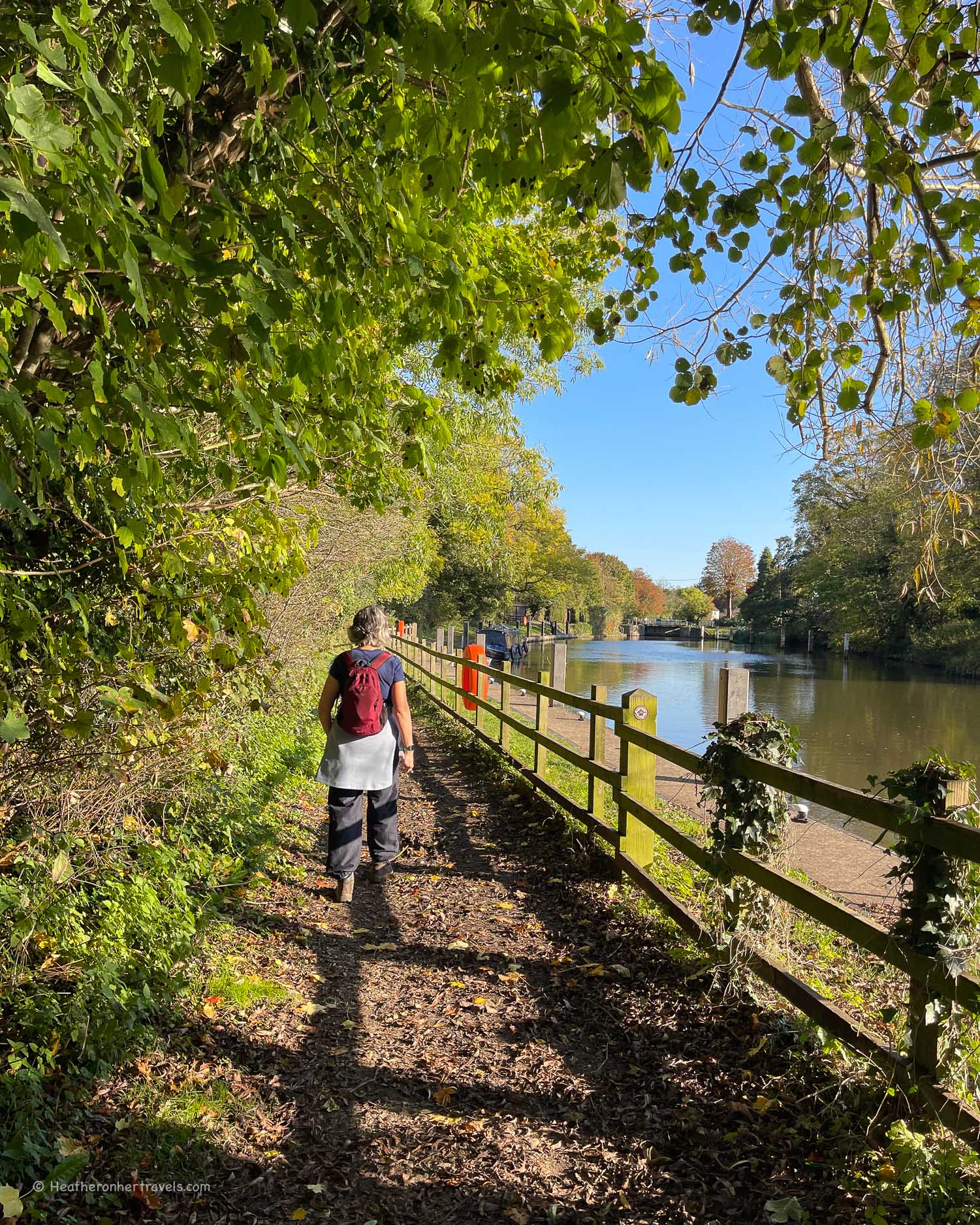
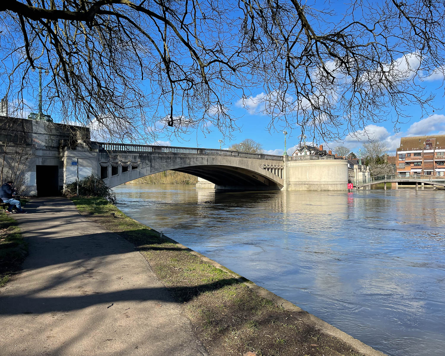
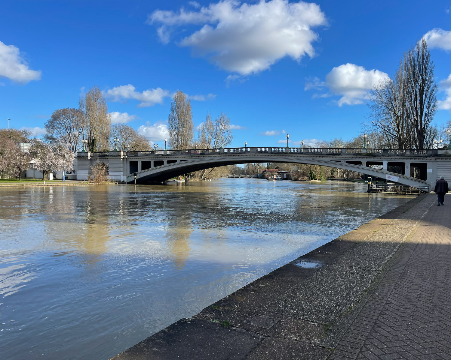
At Purley, the path leaves the river bank behind a Marina and returns to the river near Tilehurst Station. Now the route skirts the river through open fields and past the Rowing Club towards Caversham Bridge, which marks the entry into Reading.

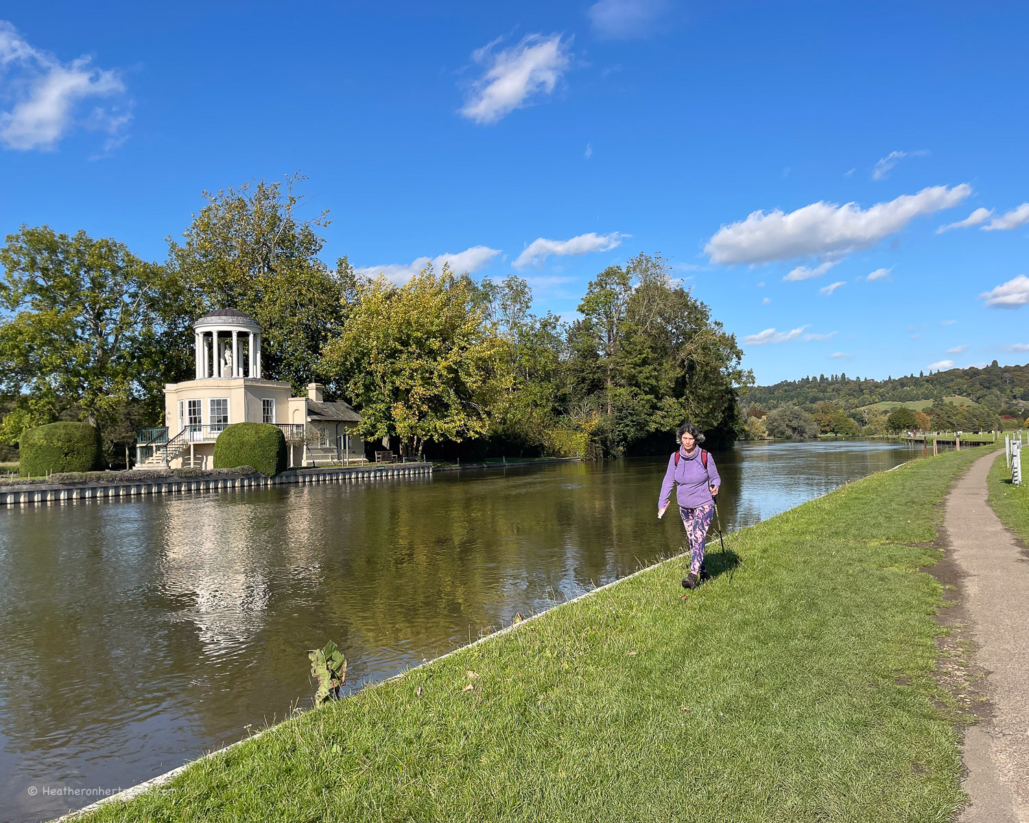
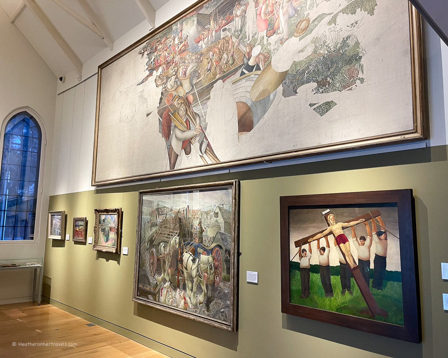
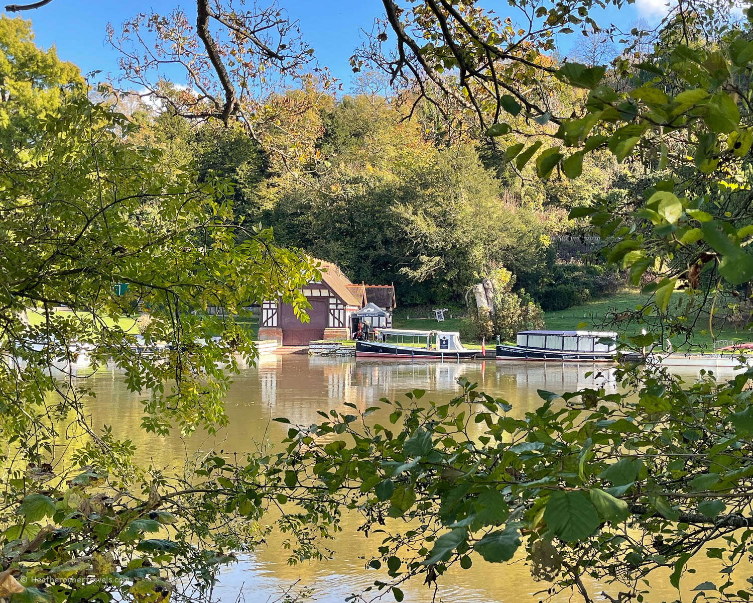
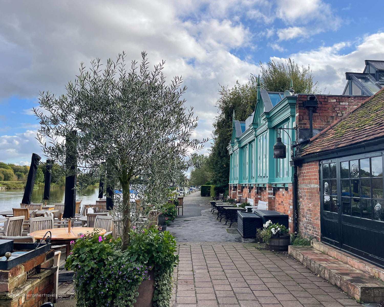
The stretch through Reading is surprisingly charming for such a busy town, with views of Fry’s island and Caversham Lock in the centre of the river. We enjoyed a coffee in the Thames Lido, a stylish reinvention of the old riverside Lido where you can watch the swimmers doing their lengths.

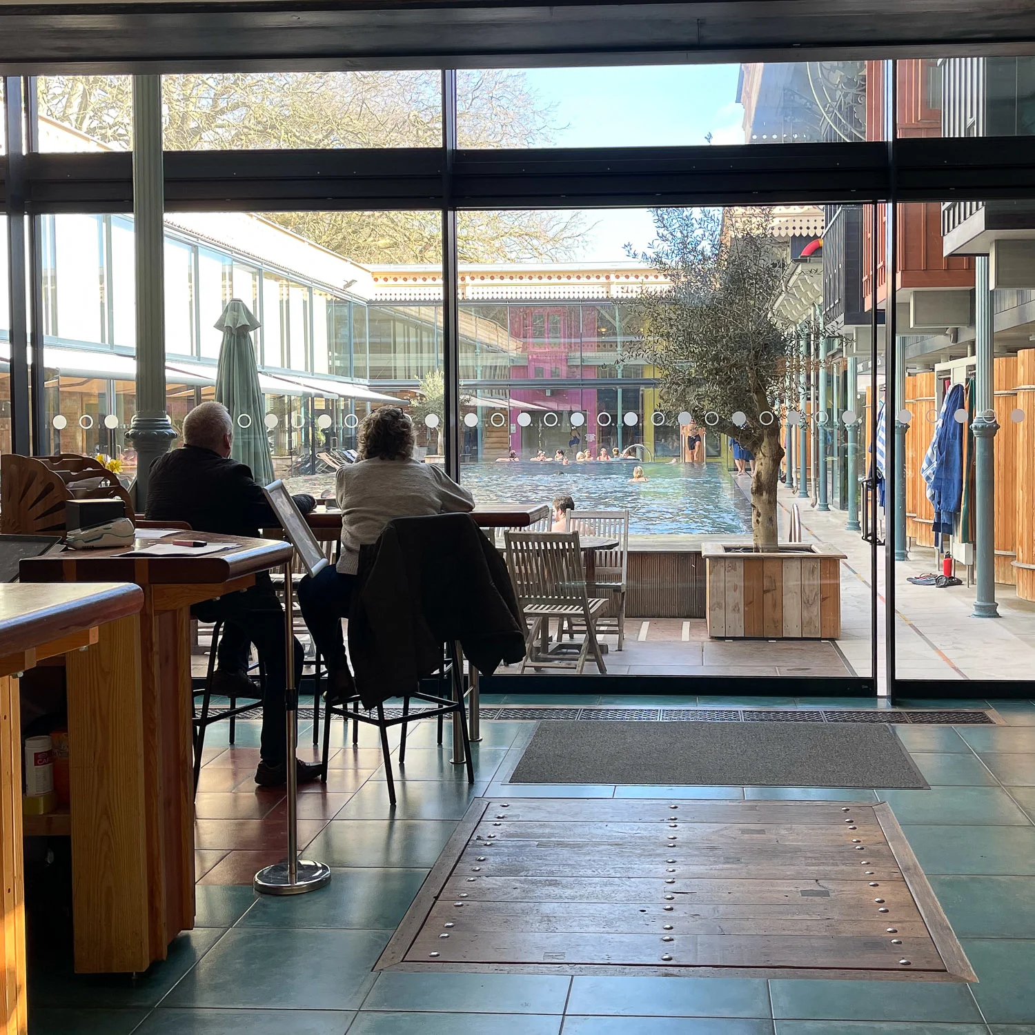
It’s worth making a short detour here onto Caversham Lock, to cross the weir for views of the river and the old ladies swimming club, now a community hydro-electric facility.

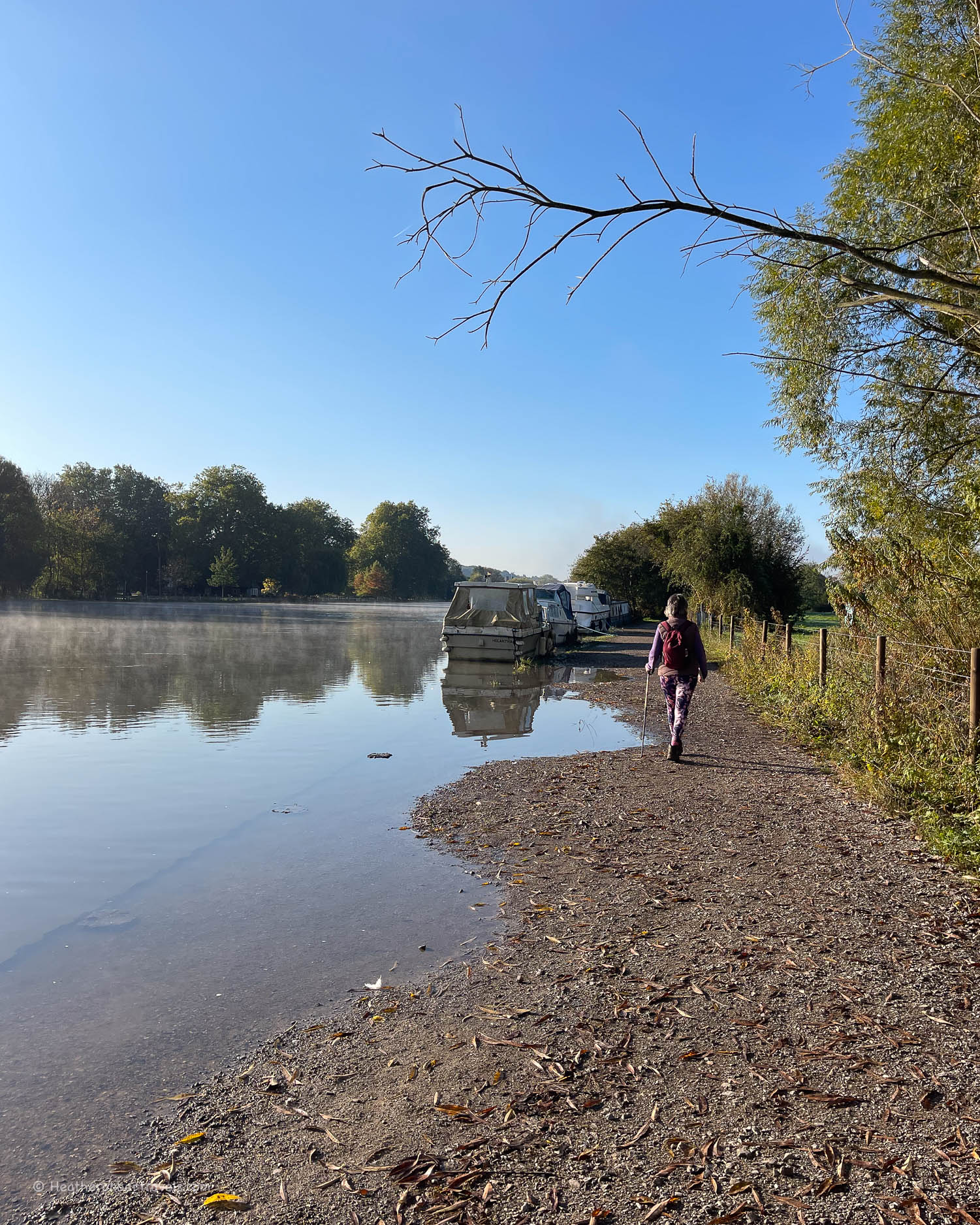
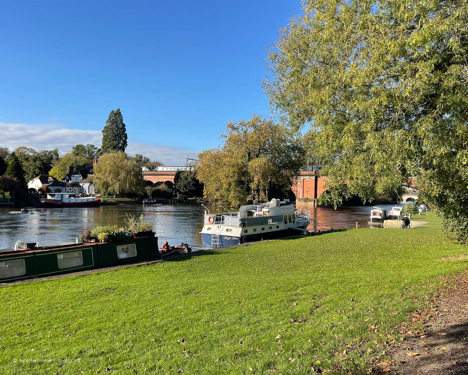
The path follows the river through King’s Meadow, a community leisure space, passing through woodland near a large Tesco supermarket (toilets, cafe and picnic supplies). Beyond this, the area of Caversham Lakes and Marina can be seen beyond the opposite river bank, until you reach Sonning.
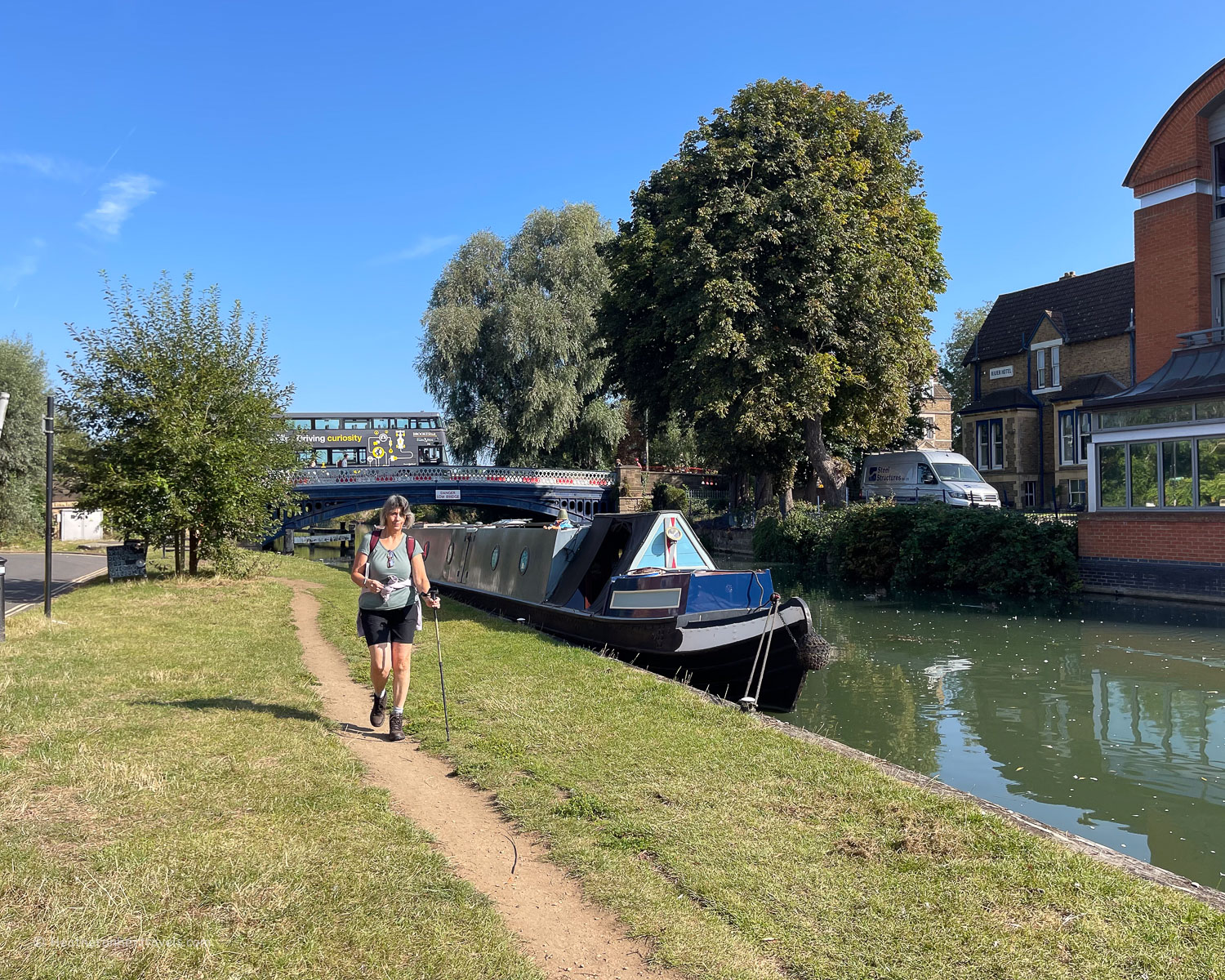
The old Saxon village has a bridge across the river, with a 17th century water mill (now a theatre) and a few places to eat. At Sonning the Thames Path crosses the road bridge and a further footbridge, to continue on the north bank of the Thames as far as Henley.

The riverside path meanders on towards Shiplake where there is a station and the path then continues along a lane behind the series of grand houses that face the river. One of the grand mansions that has been split into smaller residences has a narrow gauge railway that can be seen from the lane.
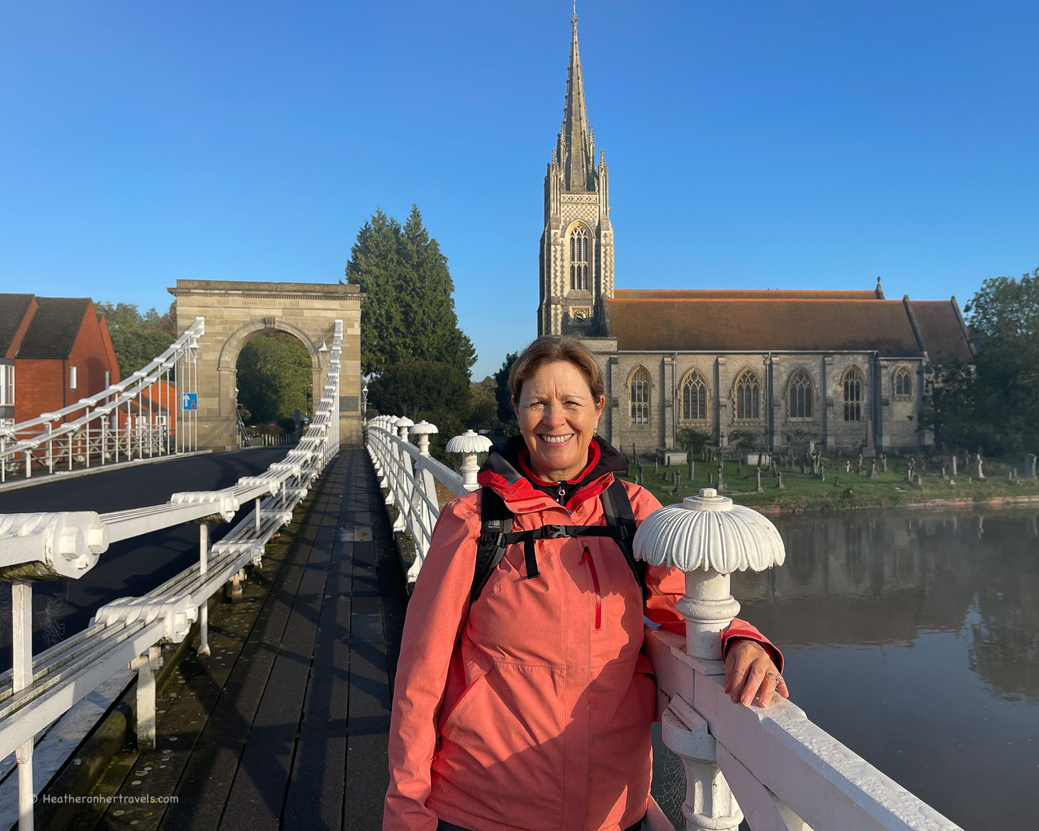
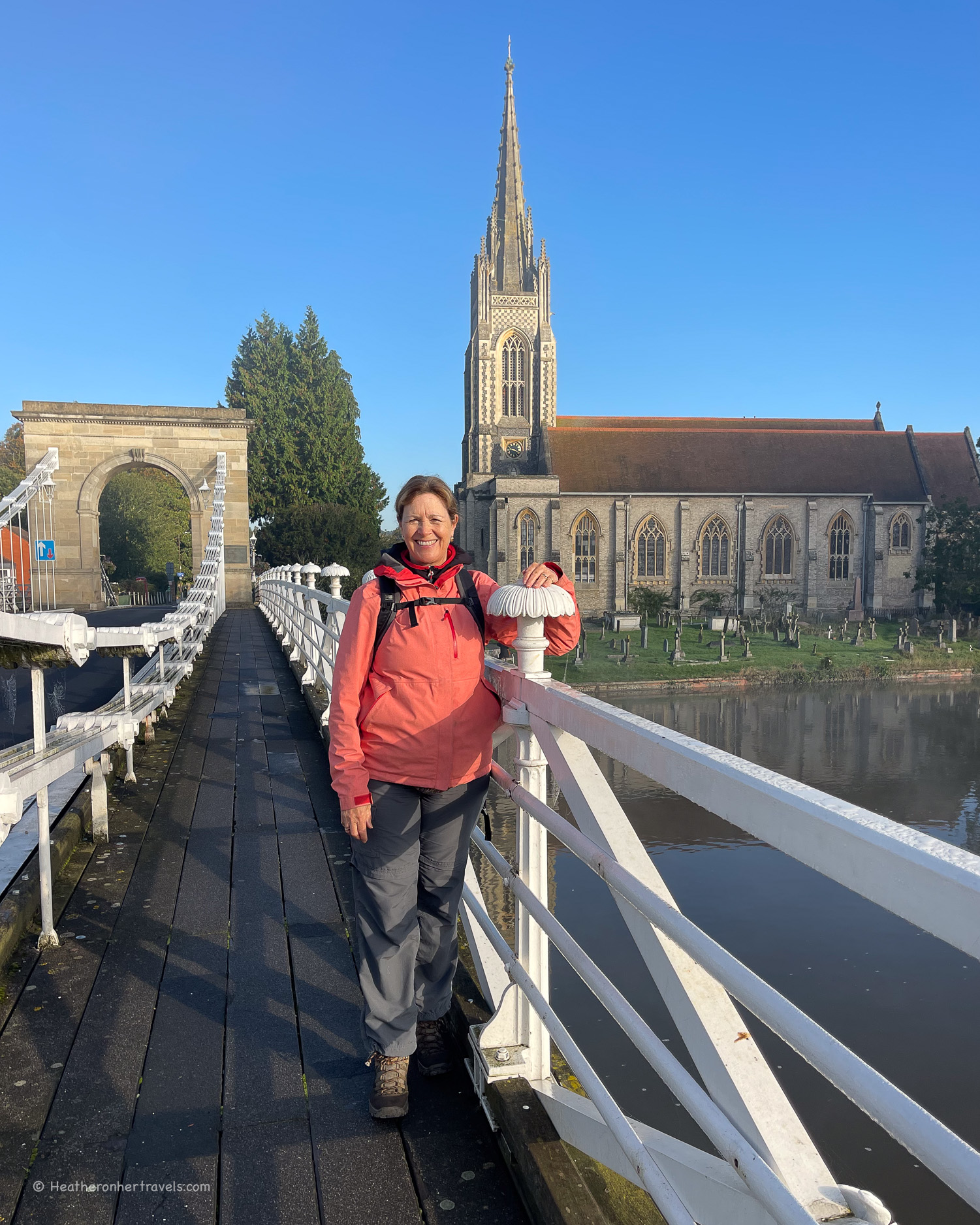
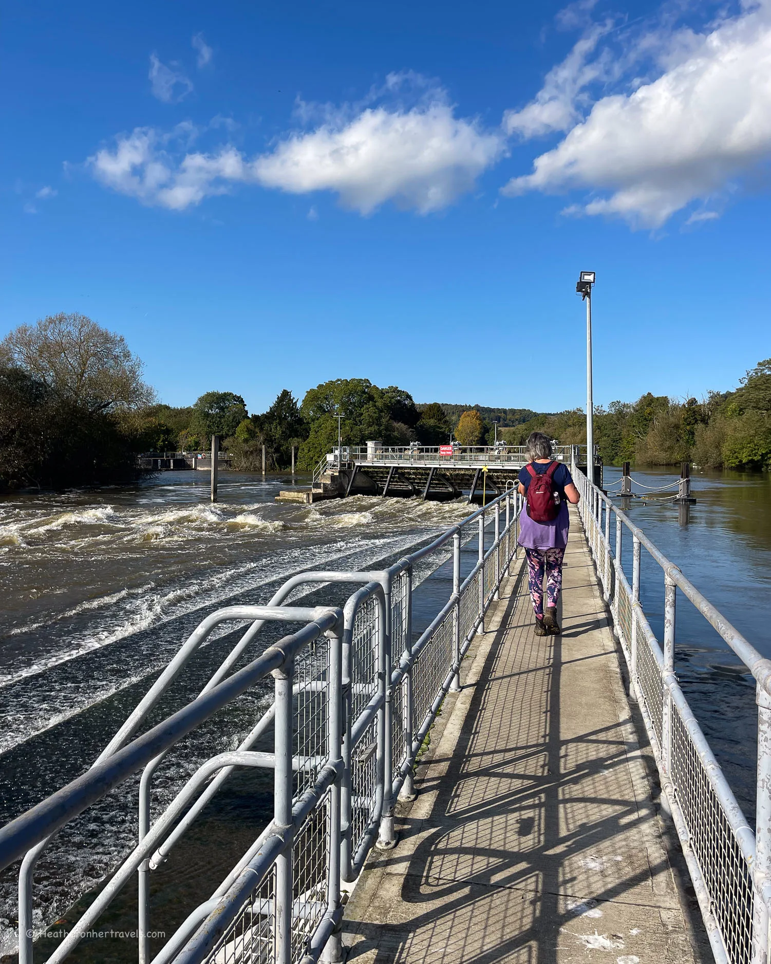
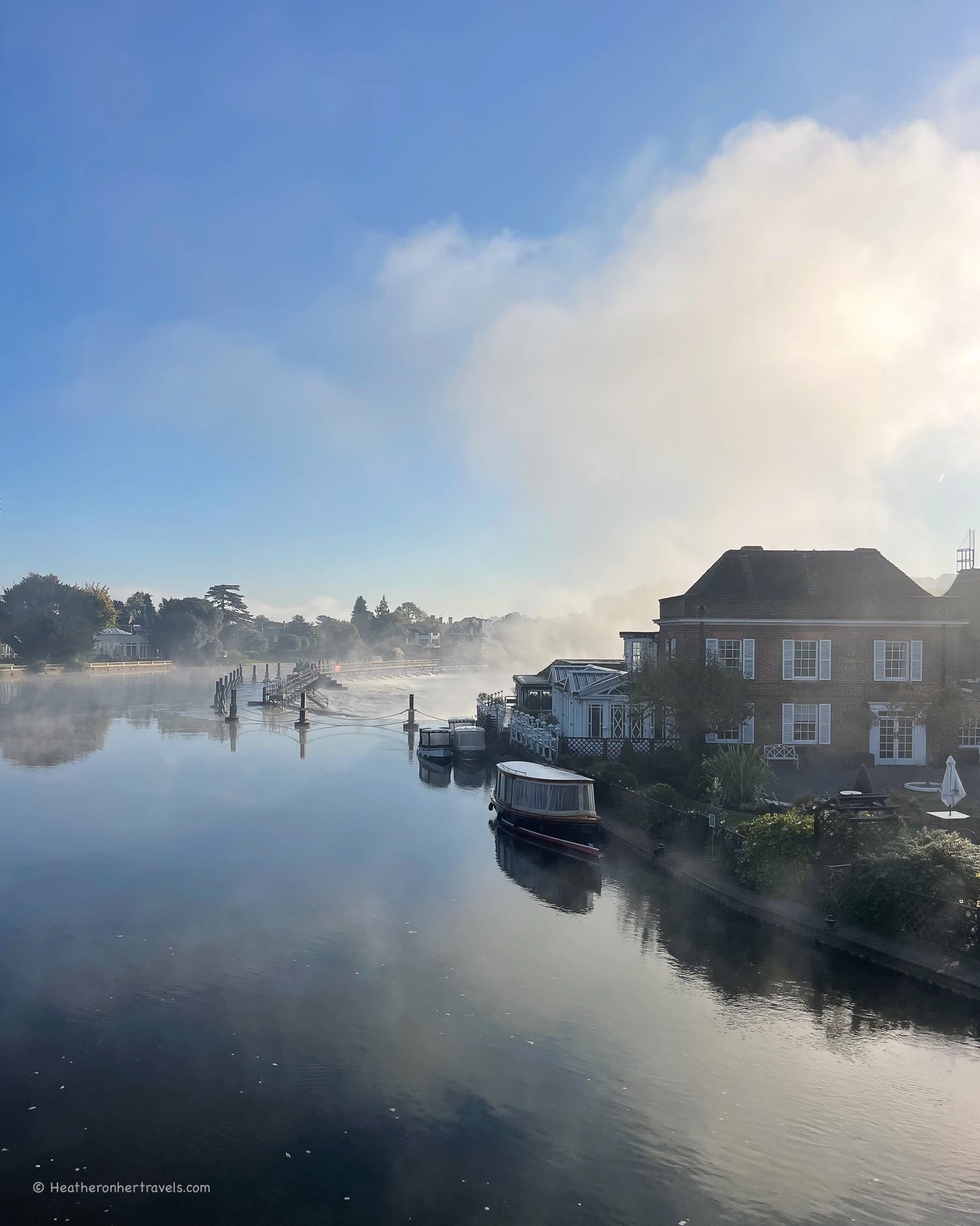
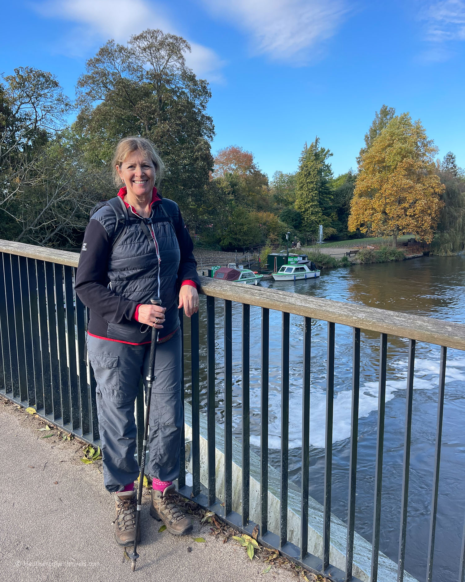
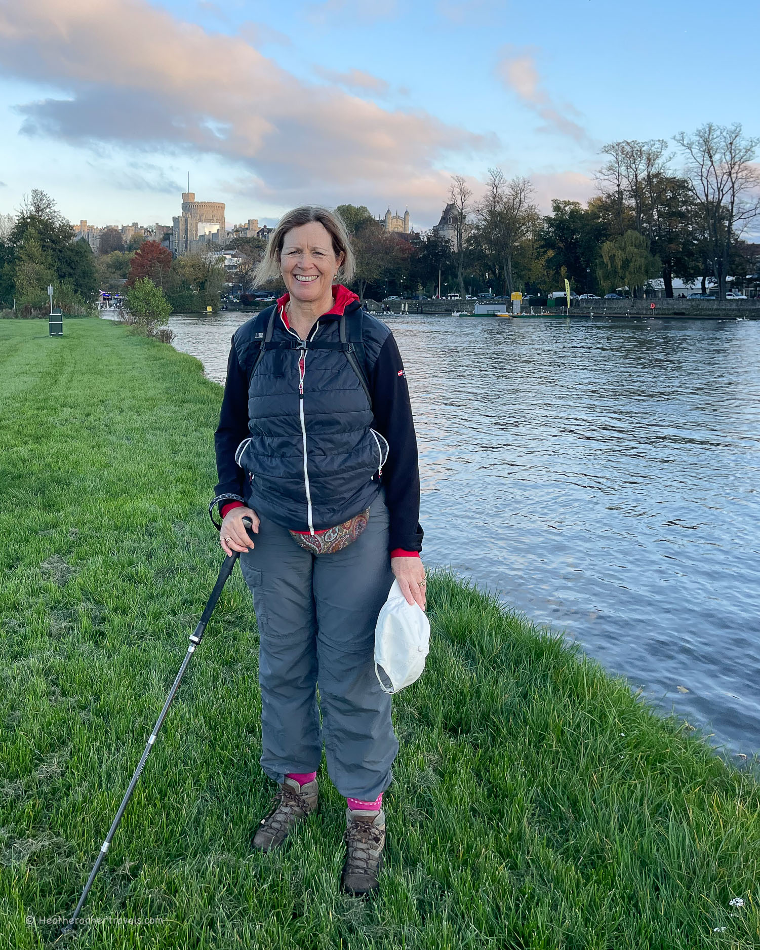
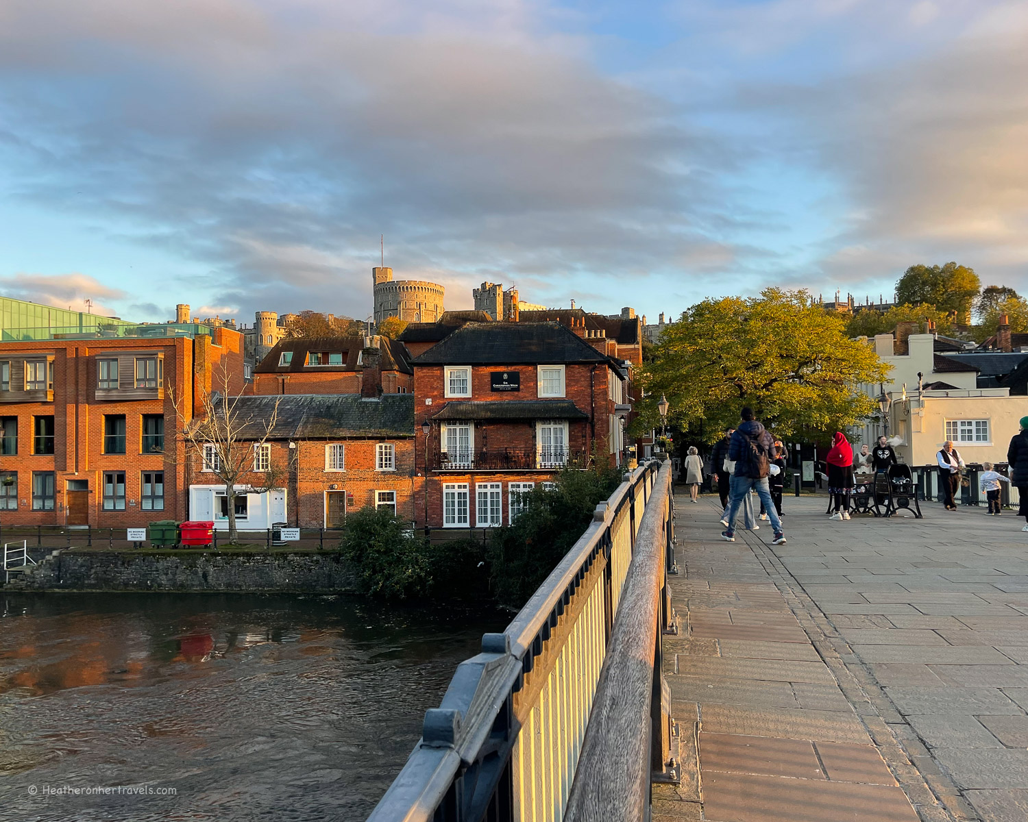
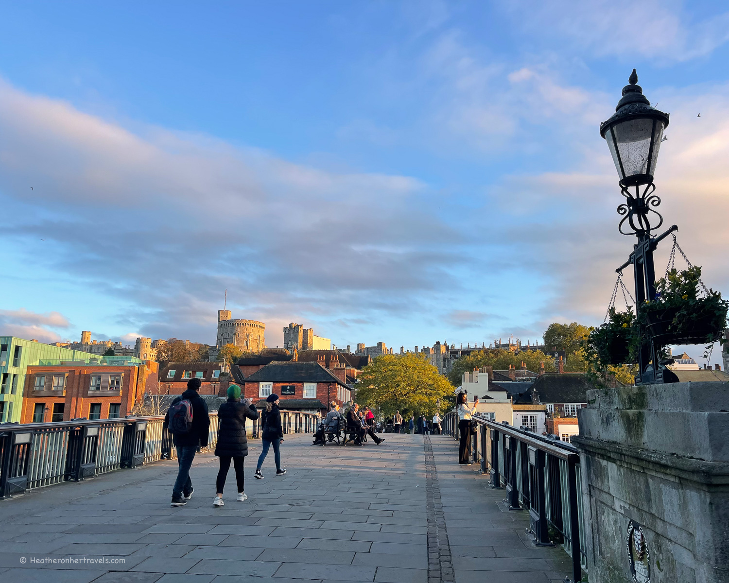
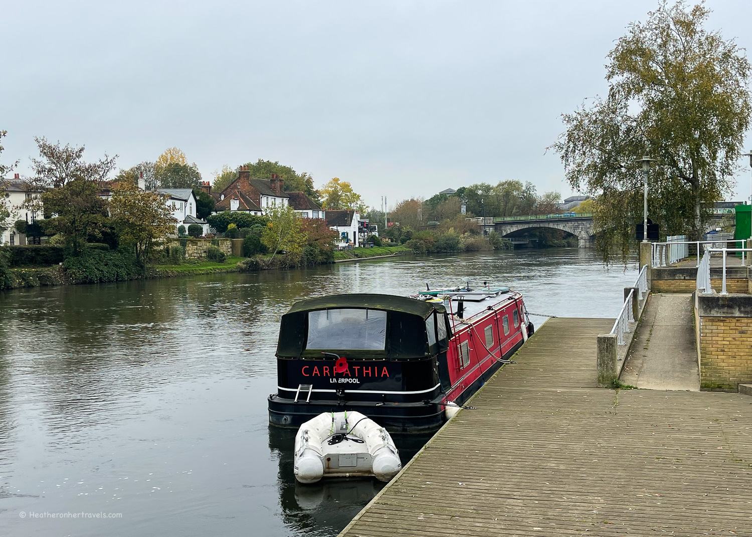
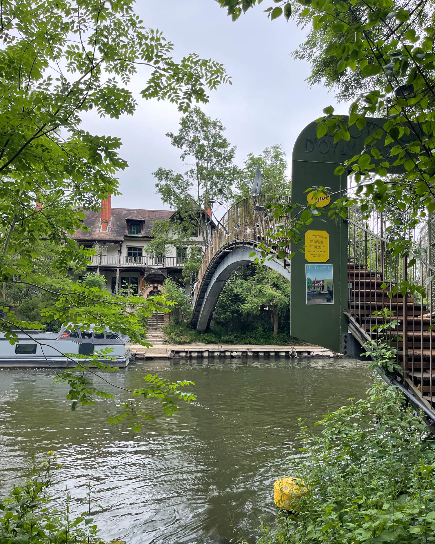
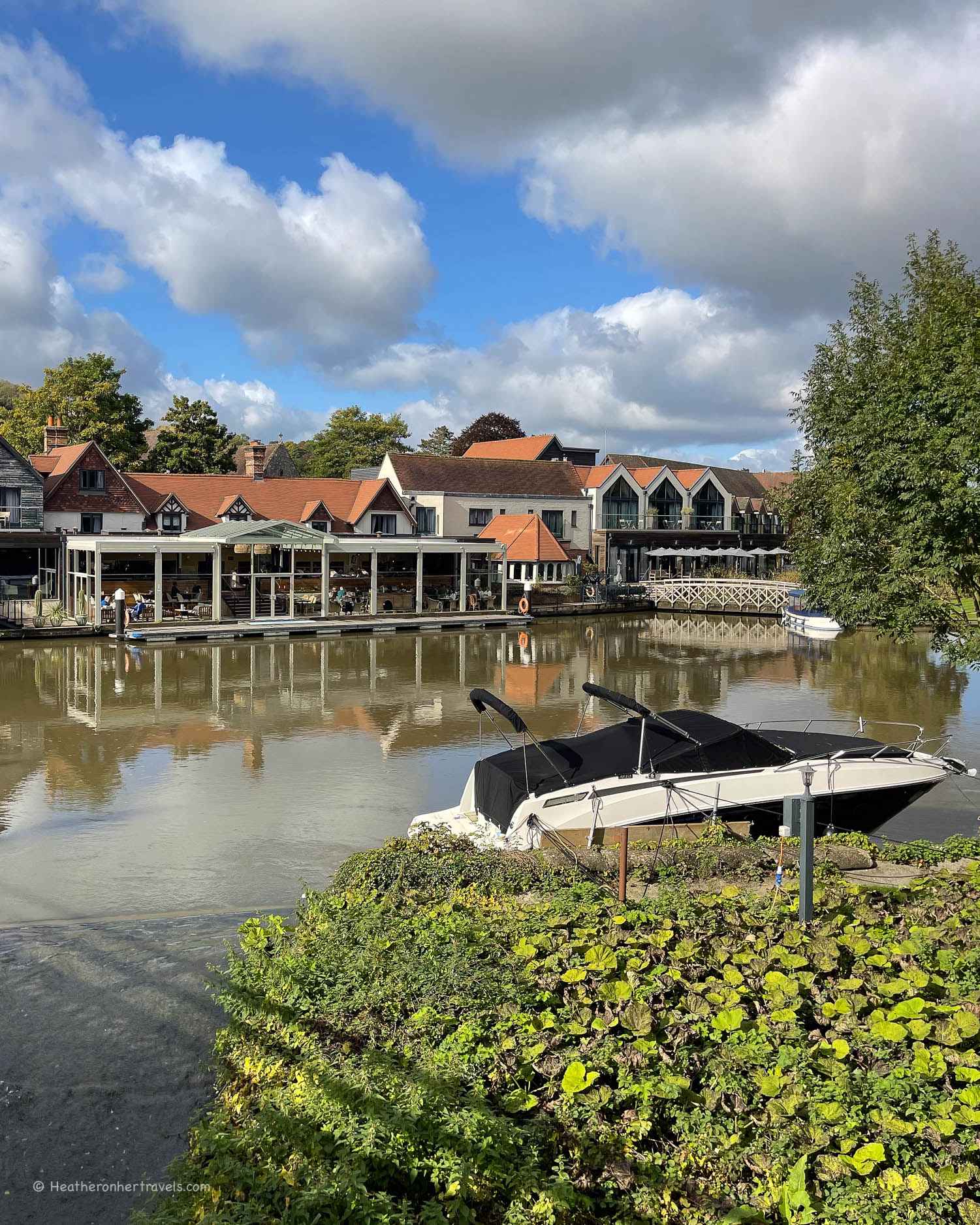
Returning to the river you’ll now walk through water meadows, until a long wooden horse bridge runs out into the river to Marsh Lock, before returning you to the bank again. The way is now a broad paved path that takes you past the River and Rowing Museum and into Henley itself.
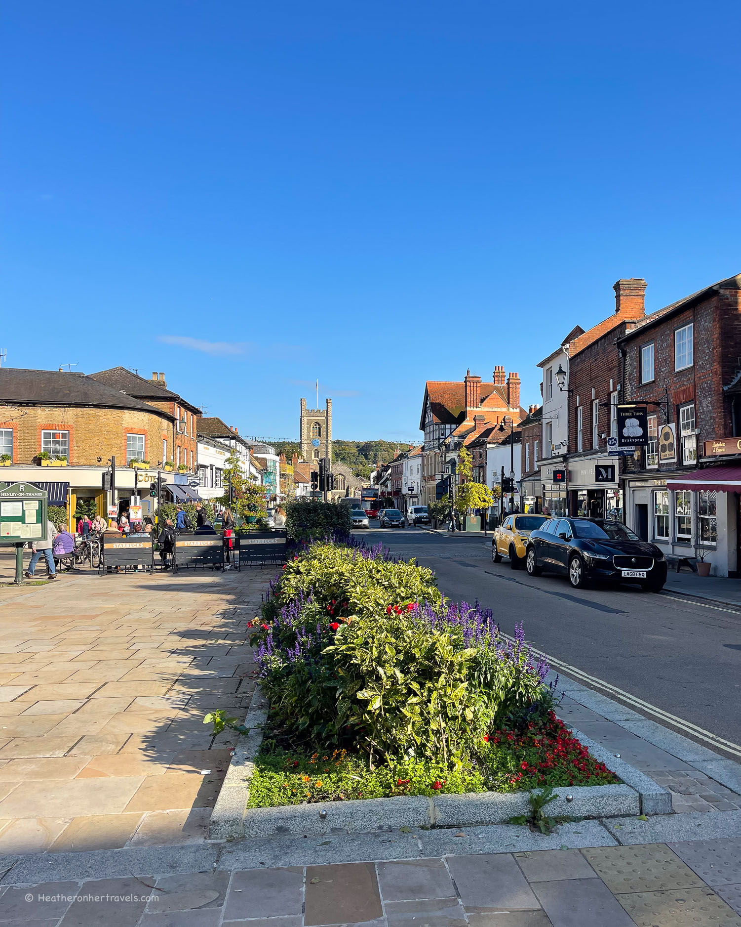
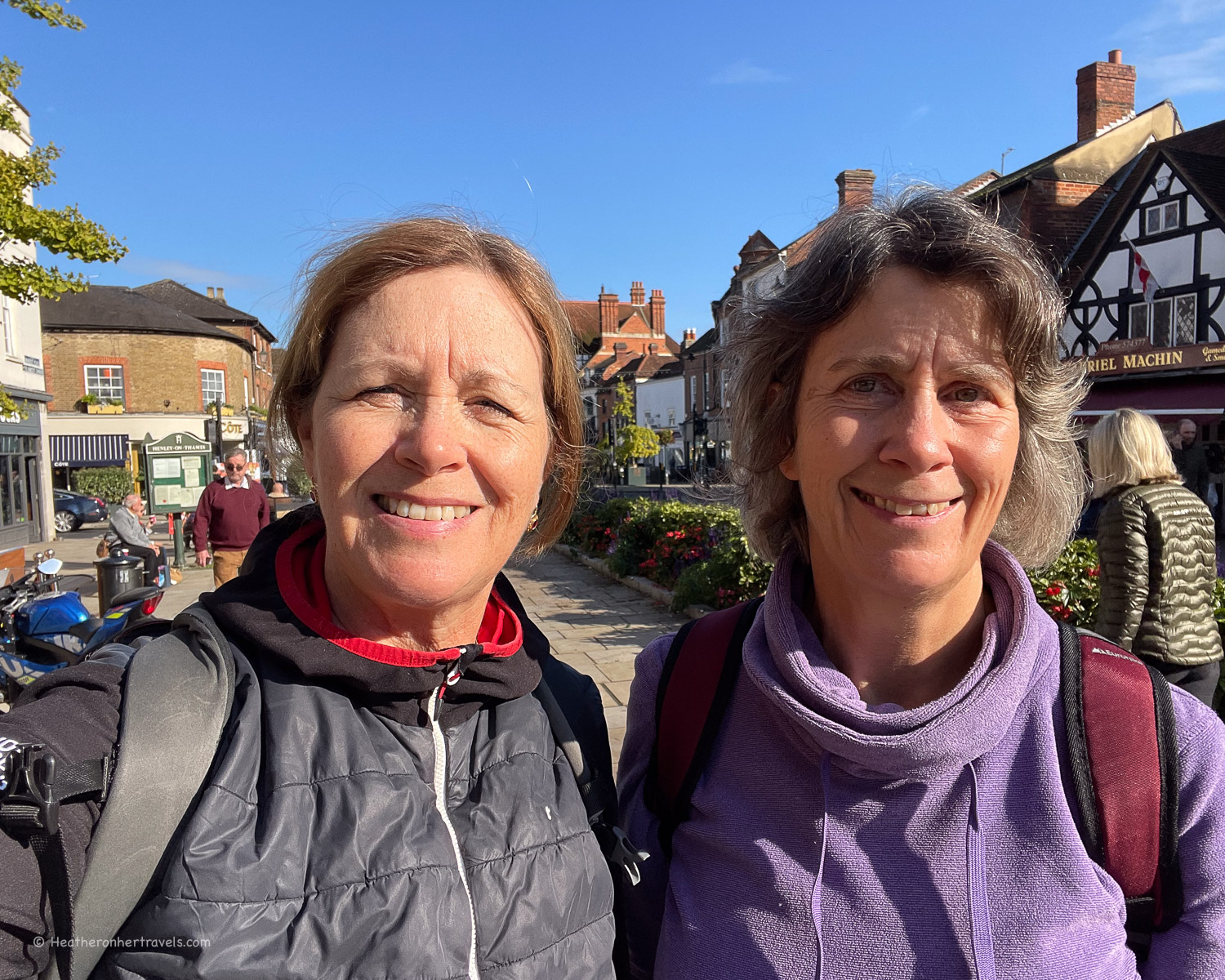
Henley on Thames is known for its rowing regatta, which takes place in July and is a feature of the English society calendar.

Day 8 – Distance and timings
Pangbourne to Henley is aprox 17 miles / 27 km, so you need to start early, for a longer day’s walk. It took us around 8.5 hrs to walk. You can also break this stage into two shorter stages: Pangbourne to Reading (7 miles / 11 km) and Reading to Henley (10 miles / 16 km).
Day 8 – Where to stay
Pangbourne: There is less choice of places to stay than Henley or Reading. We recommend The Elephant Hotel (boutique style) which is in the centre of town.
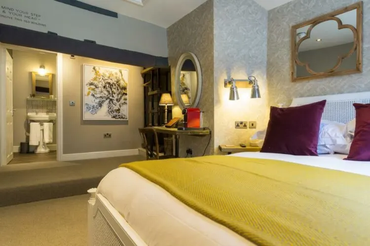
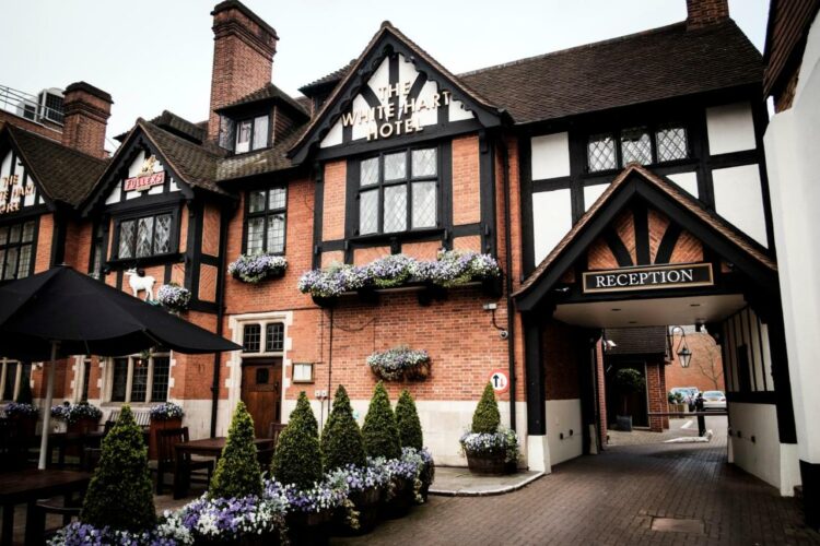
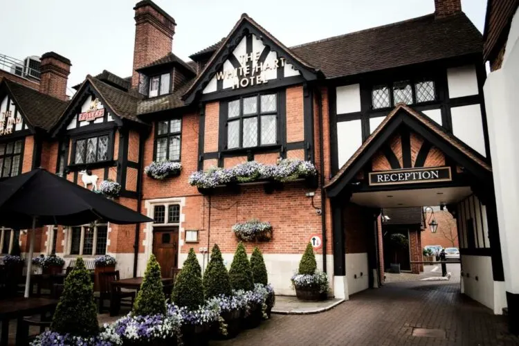
Henley: For budget options try The Catherine Wheel (traditional pub) or RIOSHOUSE (contemporary no-reception rooms). For more luxurious options, look at The Relais ( the former historic Red Lion Inn) or Hotel du Vin. All of these are well located in the centre of Henley, close to the many shops and restaurants.


RIOSHOUSE is a contemporary no-reception style hotel well situated in Henley on Thames
Reading: This busy town is a less charming place to stay than Pangbourne or Henley. If you decide to break the stage here, we recommend The Market House (budget boutique style) or Ibis Reading Centre (contemporary budget hotel), both of which are close to the station and 10 mins walk from the Thames Path.

Day 8 – Where to eat
Pangbourne – several shops for picnic supplies and a good choice of bars, restaurants and pub options around the town centre.
Purley – Between Pangbourne and Reading, you’ll pass the Mad Duck Cafe at Purley.
Reading – near the bridge is the stylish Thames Lido for coffees and lunch, with picnic benches overlooking the river nearby.
Near Reading – Soon after leaving Reading, the path runs close to a large Tescos where you can buy picnic supplies or eat in their cafe.
Sonning – the next pub on the Reading to Henley stretch is The Bull Inn at Sonning.
Henley – the town has numerous excellent pubs and restaurants, as well as shops to pick up picnic supplies, if you are continuing the walk.

Day 8 – Transport for this stage
Pangbourne – there is a station which is on the GWR route from Bristol Parkway to London Paddington, with direct connections to Reading and Maidenhead, both on the Thames Path.
Reading – there is a station, which is a busy junction on the main London to Bristol line.
Henley – there is a station, which connects via Twyford, where you can change to the GWR Bristol to London line or the Elizabeth Line.
Read Next
The next section of the walk is Hiking the Thames Path National Trail – from Henley to Kingston – Days 9-12


More articles about the Thames Path National Trail
I’ll be publishing more articles in this Thames Path series very soon. In the meantime, if you have questions about our walk on the Thames Path National Trail, feel free to email me at heather(at)heatheronhertravels(dot)com
Hiking the Thames Path National Trail – from Source to Oxford – Days 1-4
Hiking the Thames Path National Trail – from Oxford to Henley – Days 5-8 (this article)
Hiking the Thames Path National Trail – from Henley to Kingston – Days 9-12
Hiking the Thames Path National Trail – Kingston to Woolwich – Days 13-15
Coming Soon – Tips for hiking the Thames Path National Trail
Resources for hiking the Thames Path National Trail
Train bookings – to get you to the start and end of this section of the walk, we recommend Trainline for easy rail bookings.
Book accommodation: to book hotels online and conveniently have all your bookings in once place, we used Booking.com but if you prefer you could also use Expedia.
Guidebook – we used and recommend the Trailblazer Thames Path Guide – this is the one we used and we liked the easy to follow maps and the fact that it’s just as easy to follow for walking in either direction.
The Thames Path National Trail website is a useful source of information about the trail as a whole.
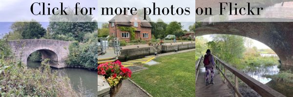

Pin it
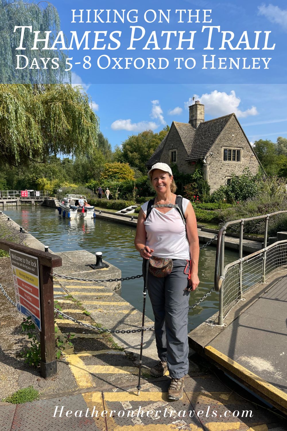

This article is originally published at Heatheronhertravels.com