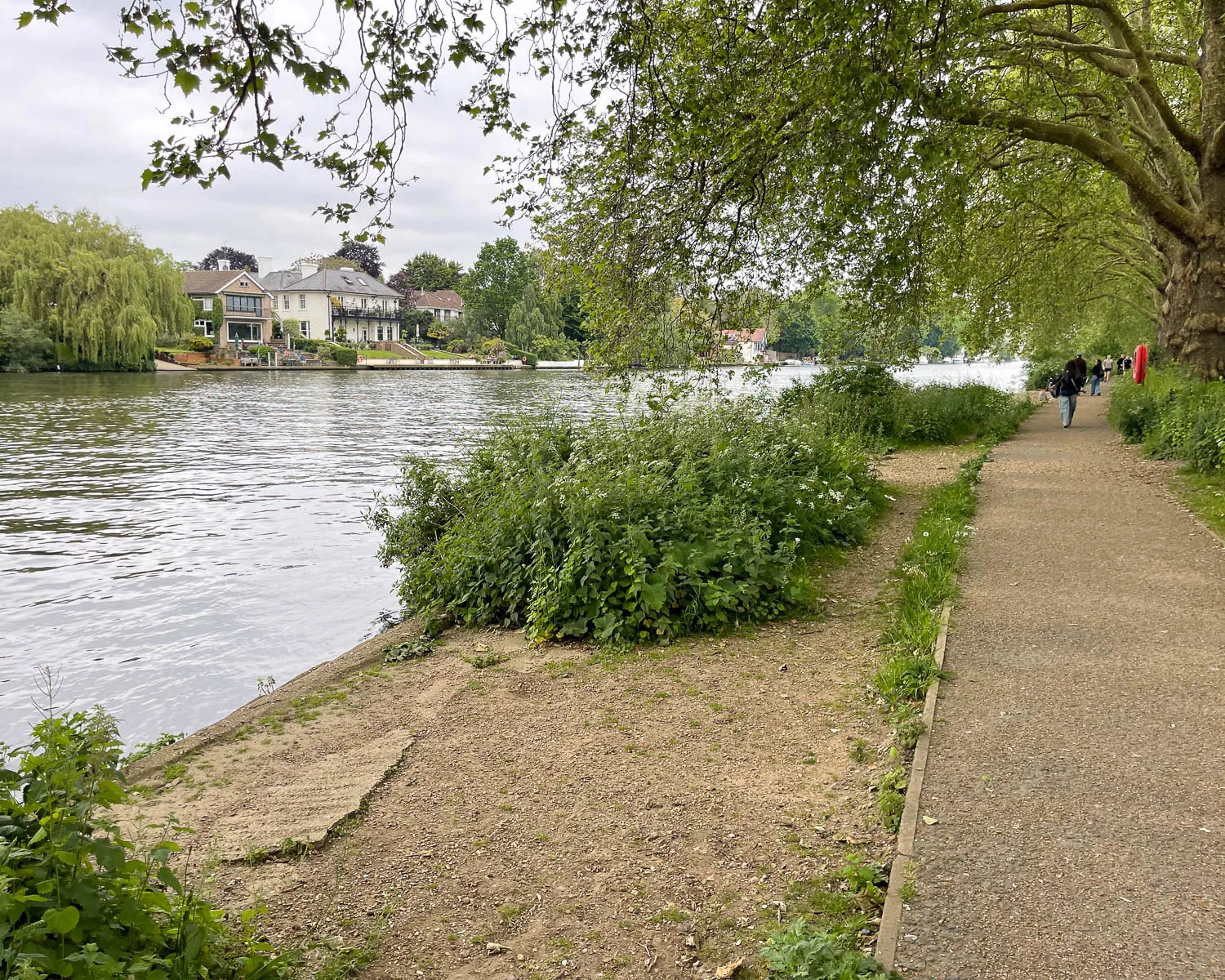
From Henley to Kingston the Thames Path National Trail offers a blend of rural to urban landscapes, as the river flows steadily towards the outskirts of London. You’ll pass the prosperous riverside towns of Henley and Marlow, known for their rowing traditions and ornate Edwardian boathouses.
This is the Thames as depicted in 19th century literary classics such as “Three Men in a Boat” and “The Wind in the Willows”. As the railways developed westwards from the 1850s, this stretch of the Thames came within the reach of Londoners for day trips, when regattas and rowing boats were all the rage.

This article may contain affiliate links that provide commission on purchases you make at no extra cost to you. As an Amazon Associate I earn from qualifying purchases.
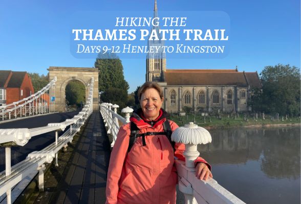
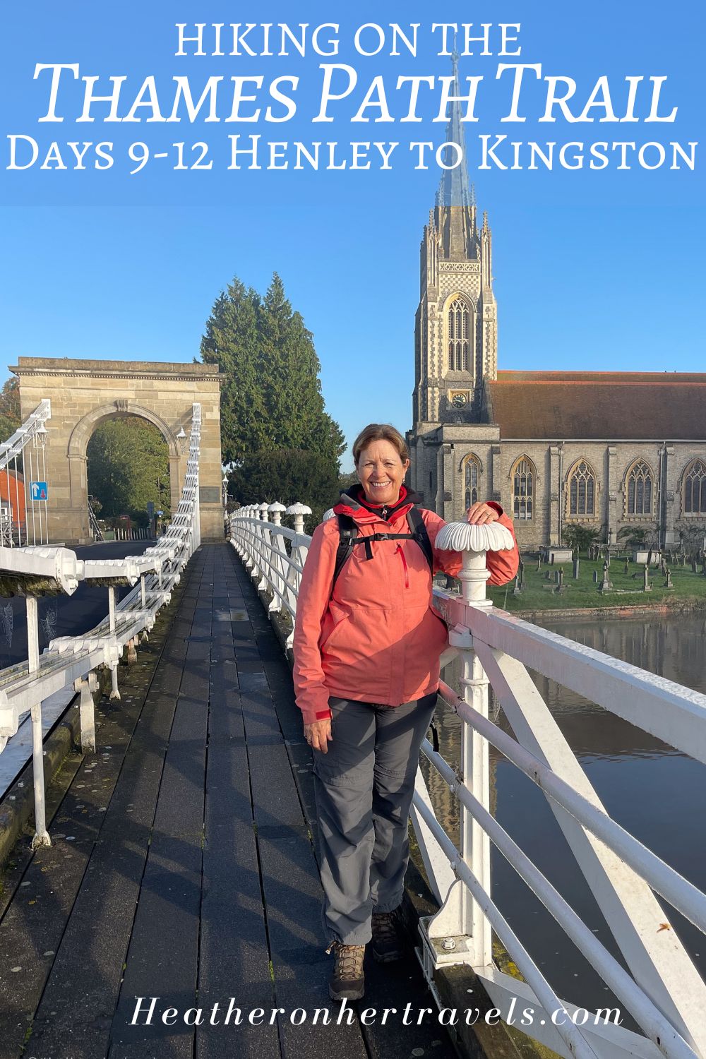
Days 9-12 – Henley to Kingston
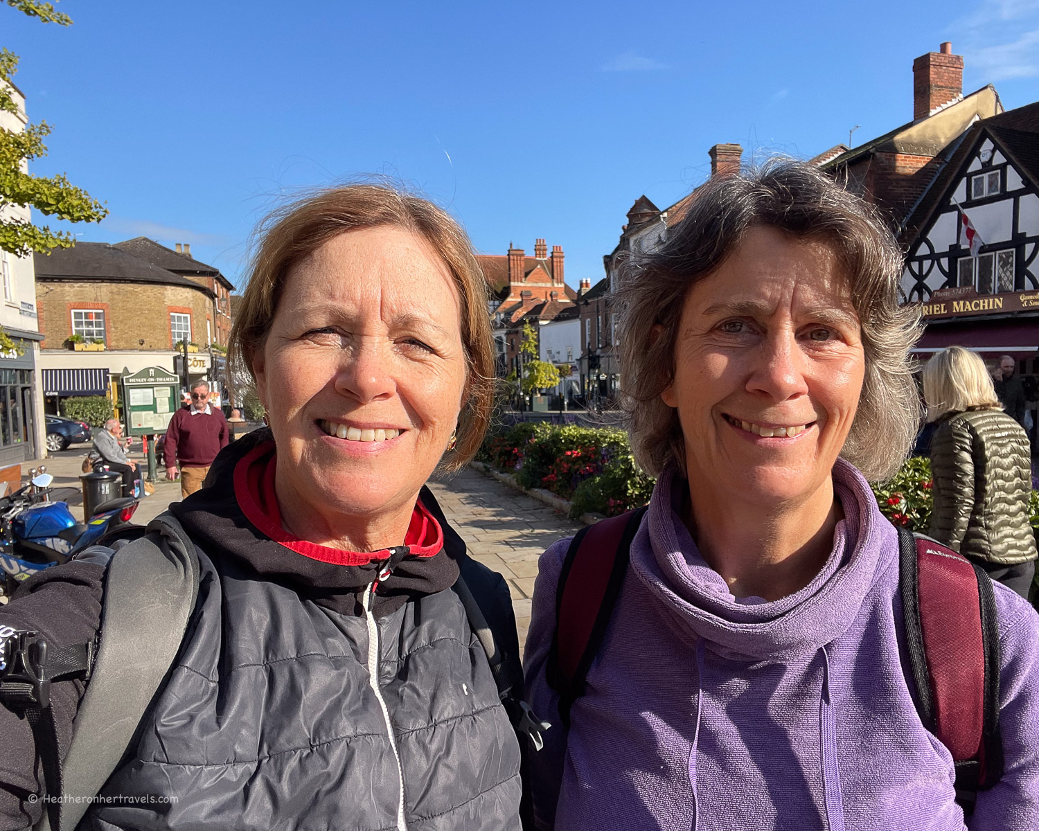
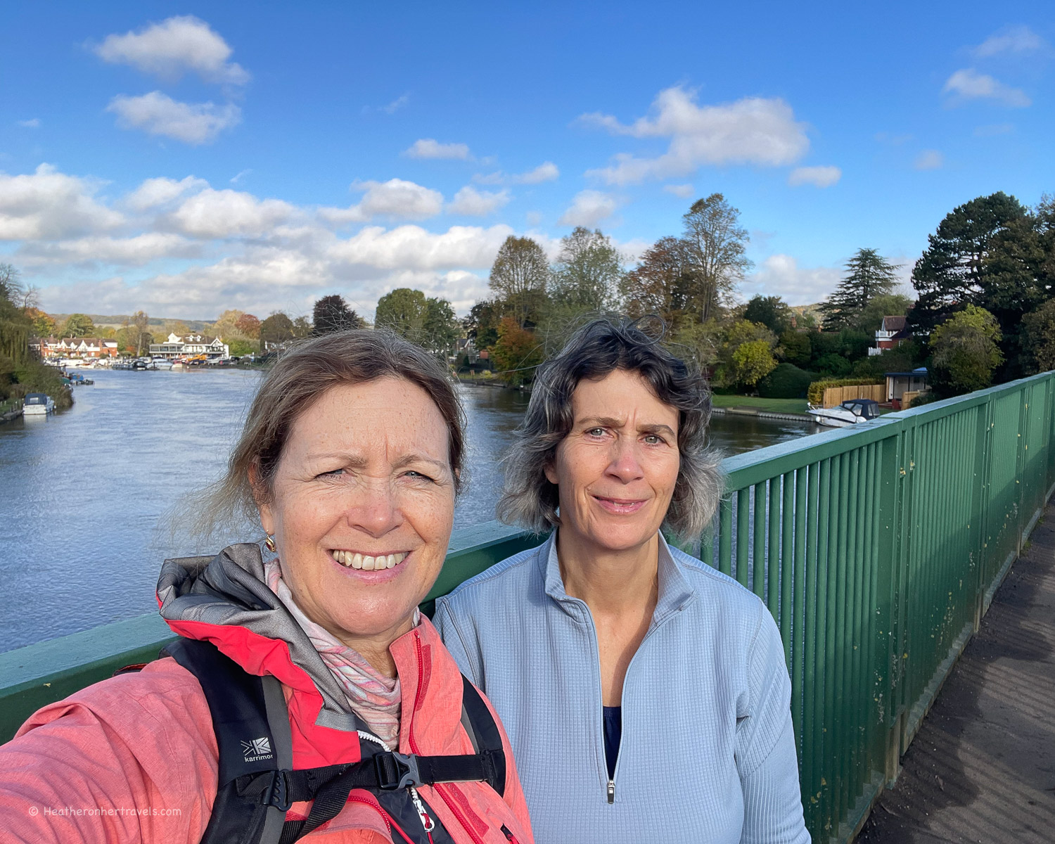
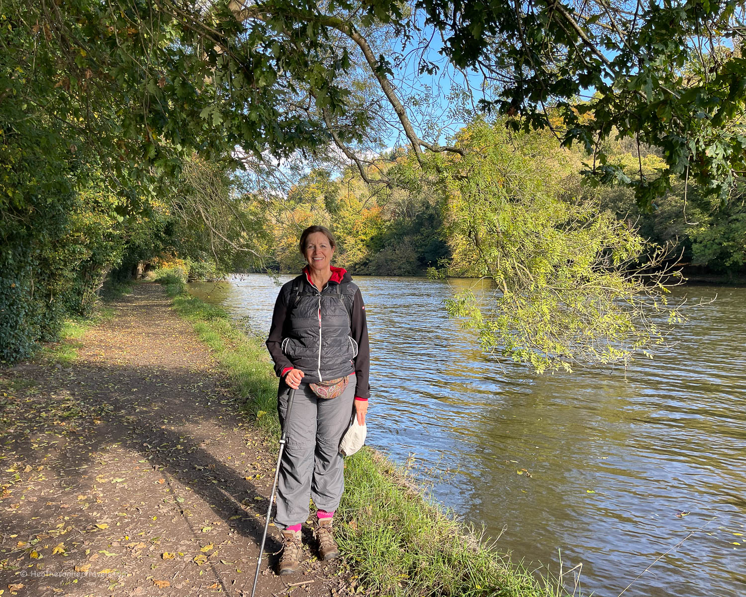
Rather than walking the whole of the Thames Path in one go, we chose to break this long distance trail into sections of one or two days. Walking with my sister, it took us a year to complete, snatching a couple of days walking whenever we could.
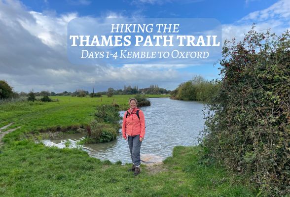
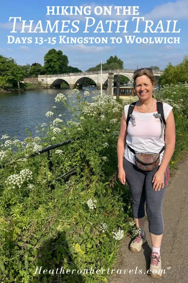
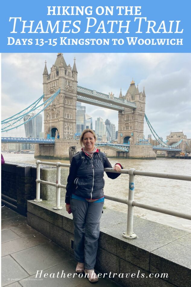
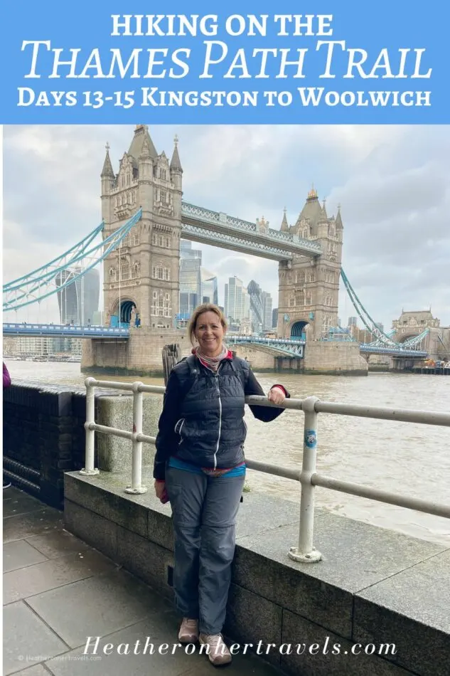
The whole trail takes 15 days, but to make it more manageable I’ve decided to break it into four separate articles, each covering 3-4 days of the Thames Path walk.
And you can read about our final day here:
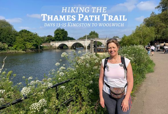
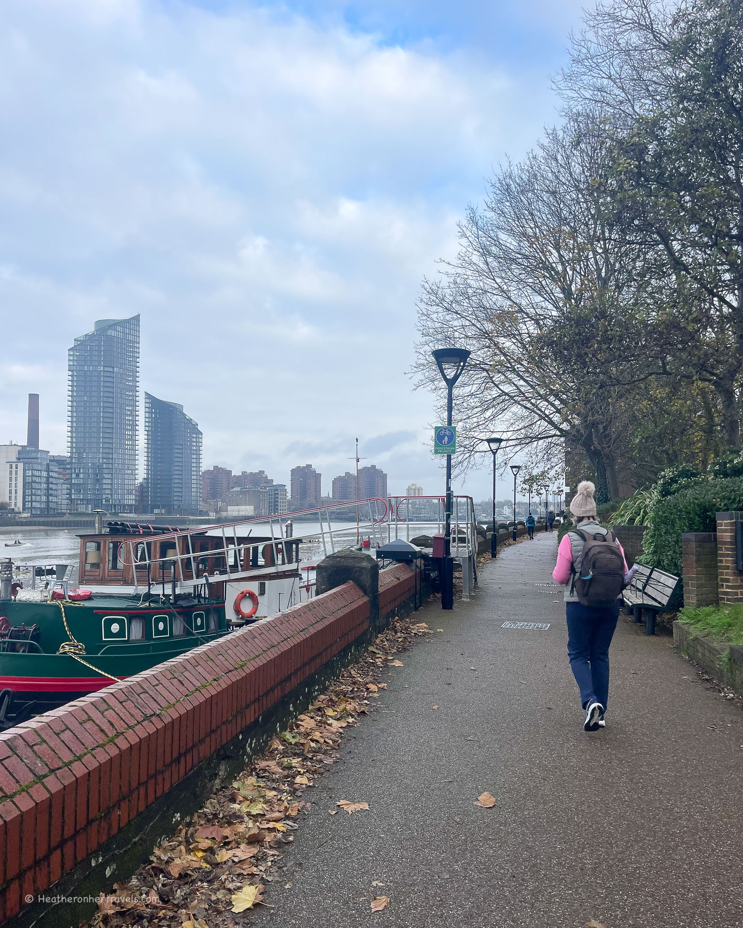
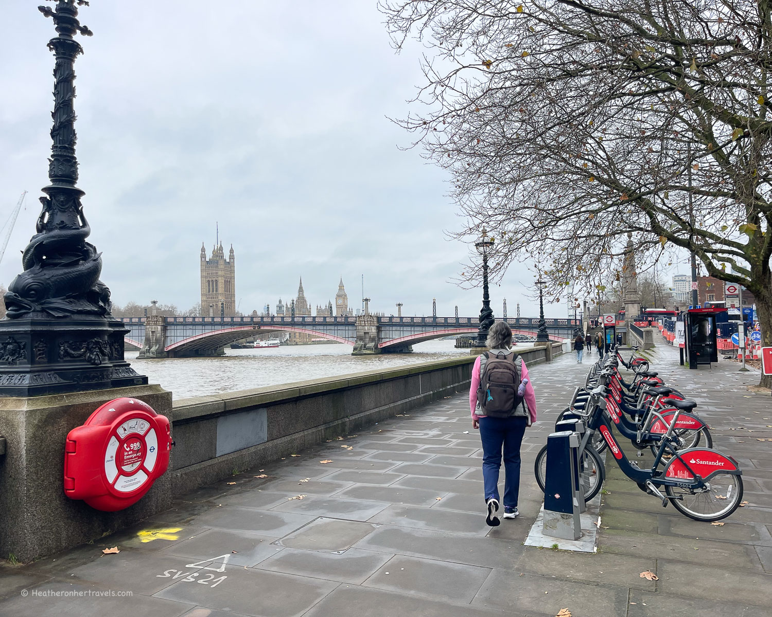
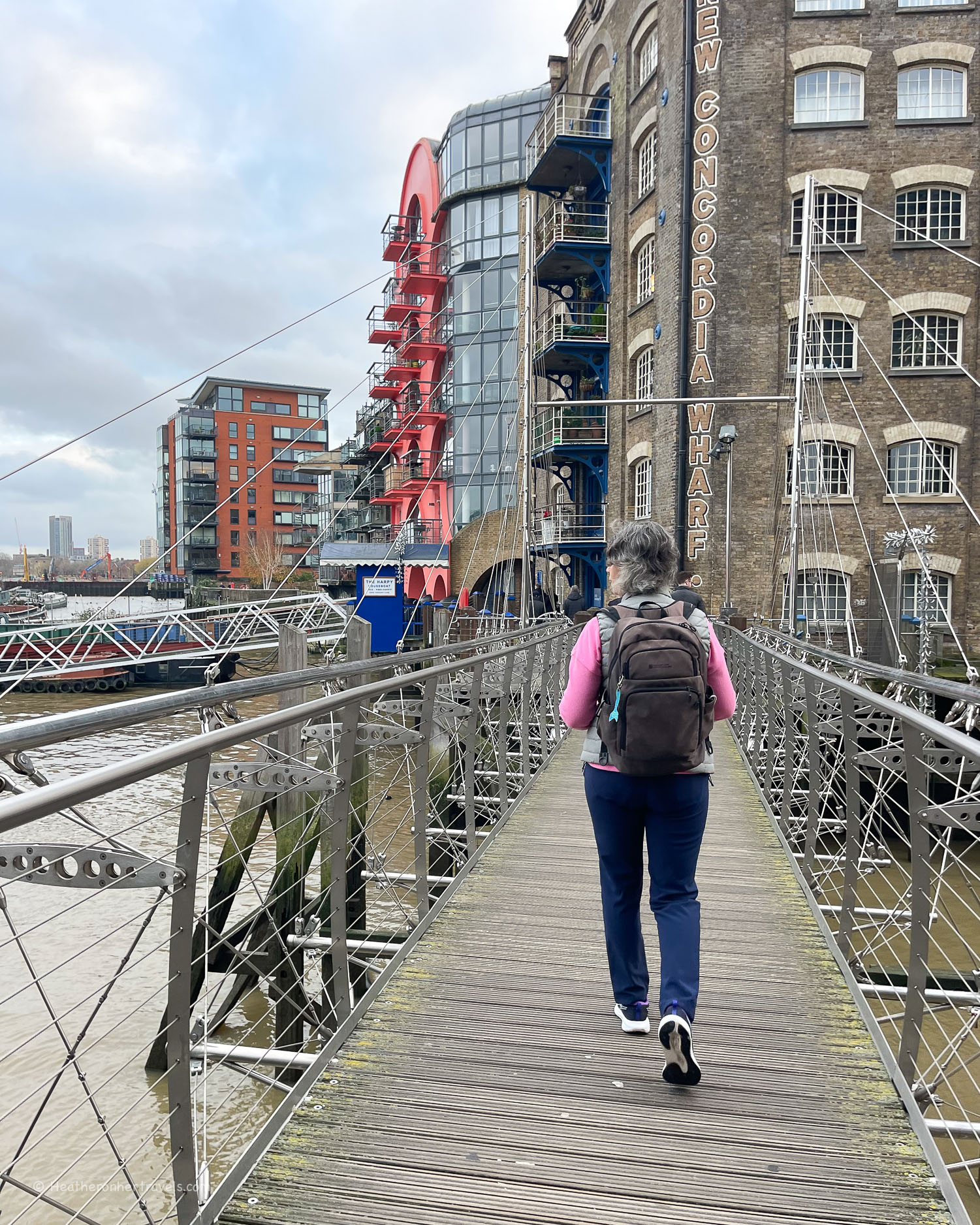
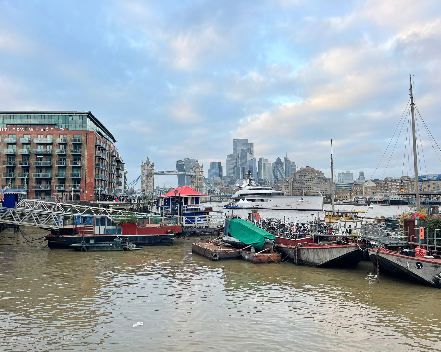
Hiking the Thames Path National Trail – Kingston to Woolwich – Days 13-15
This section of four day’s walking could easily be managed over a long weekend. Alternatively you could just pick one of the legs for a day’s walk – our favourites were Day 10 Marlow to Windsor or Day 12 Chertsey to Kingston.
While we walked from the Source towards London, you can walk any of these stages in either direction.
Essential planning for Days 9-12 – Henley to Kingston
If you are walking sections 9-12 of the Thames Trail over a 4 day period, here are the planning essentials.
Book the train to Henley for the start of the walk – it can be reached on the GWR line or the Elizabeth line from London, changing at Twyford. We recommend Trainline for easy rail bookings.
Book the train from Kingston at the end of Day 12 – there are direct trains to London Waterloo. We recommend Trainline for easy rail bookings.
Guidebook – buy the Trailblazer Thames Path Guide – this is the one we used and found it excellent for walking in either direction. While a guidebook is not essential, we enjoyed using this one as it added additional information and context to our walk.
I’ll be publishing further articles in this Thames Path series very soon. In the meantime, if you have questions about our walk on the Thames Path National Trail, feel free to email me at heather(at)heatheronhertravels(dot)com
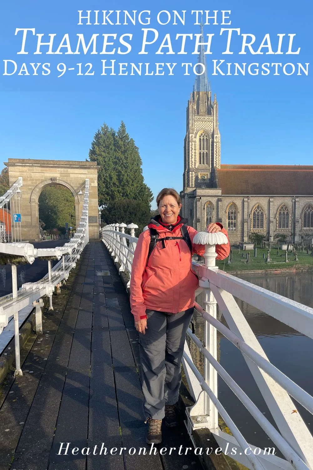
Day 9 – Henley to Marlow
This is an attractive stretch of the Thames Path, passing pretty villages and scenic riverside spots. However, with Temple foot bridge closed, it required some frustrating detours away from the river, walking along a busy road.
Before setting off, we recommend checking whether the Temple foot bridge has re-opened and be alert for detour signs.
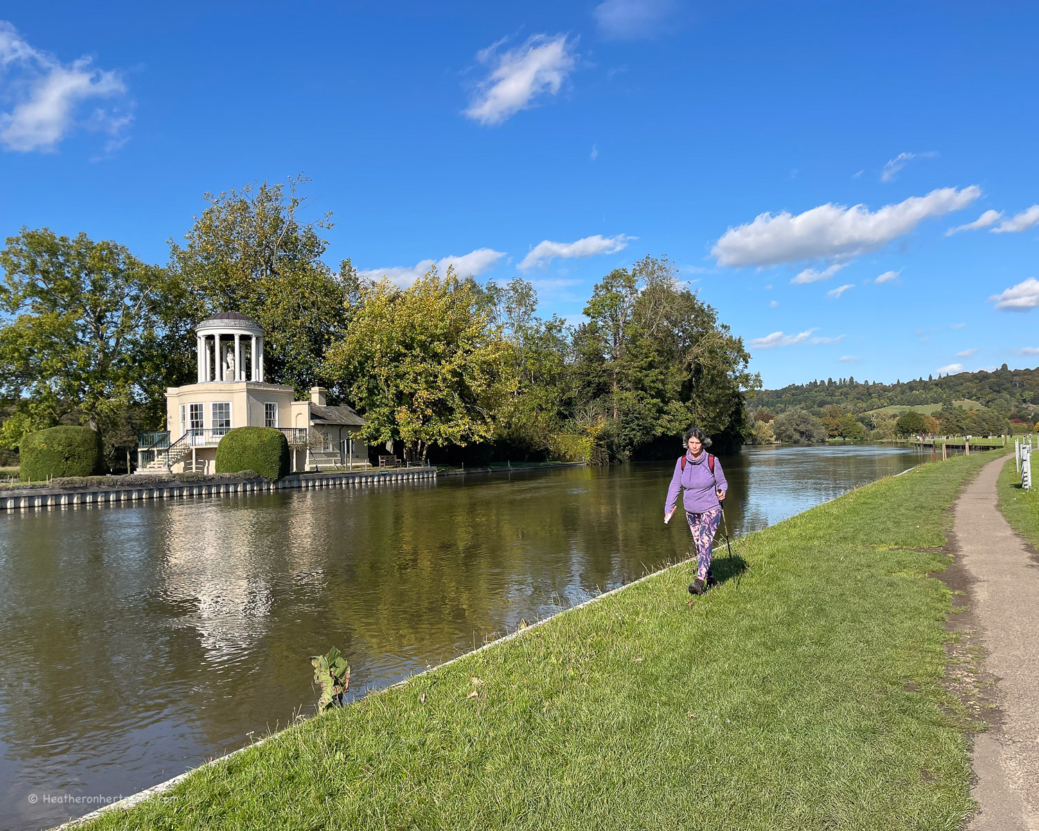

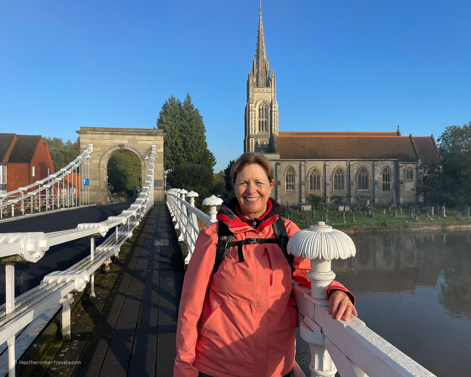
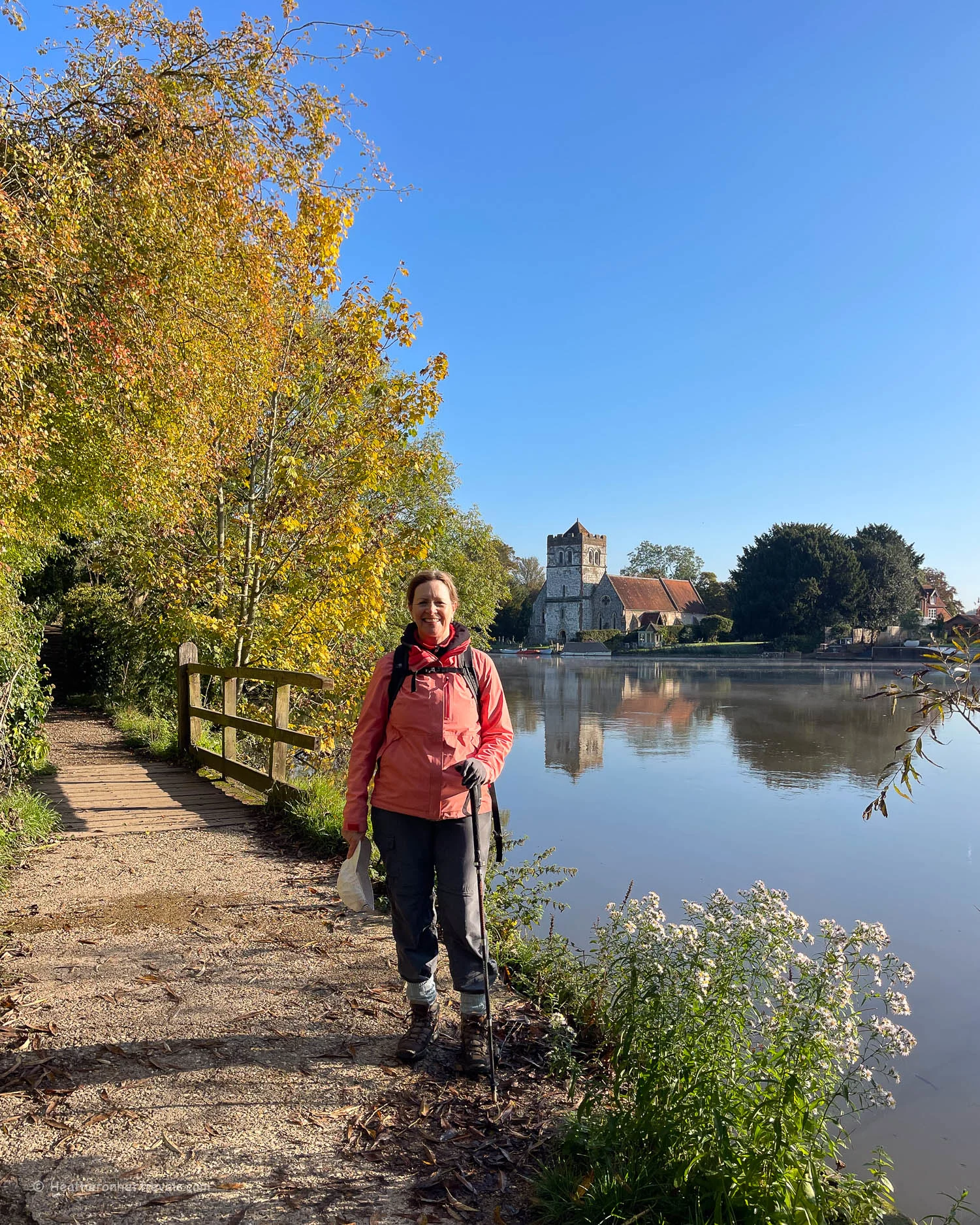
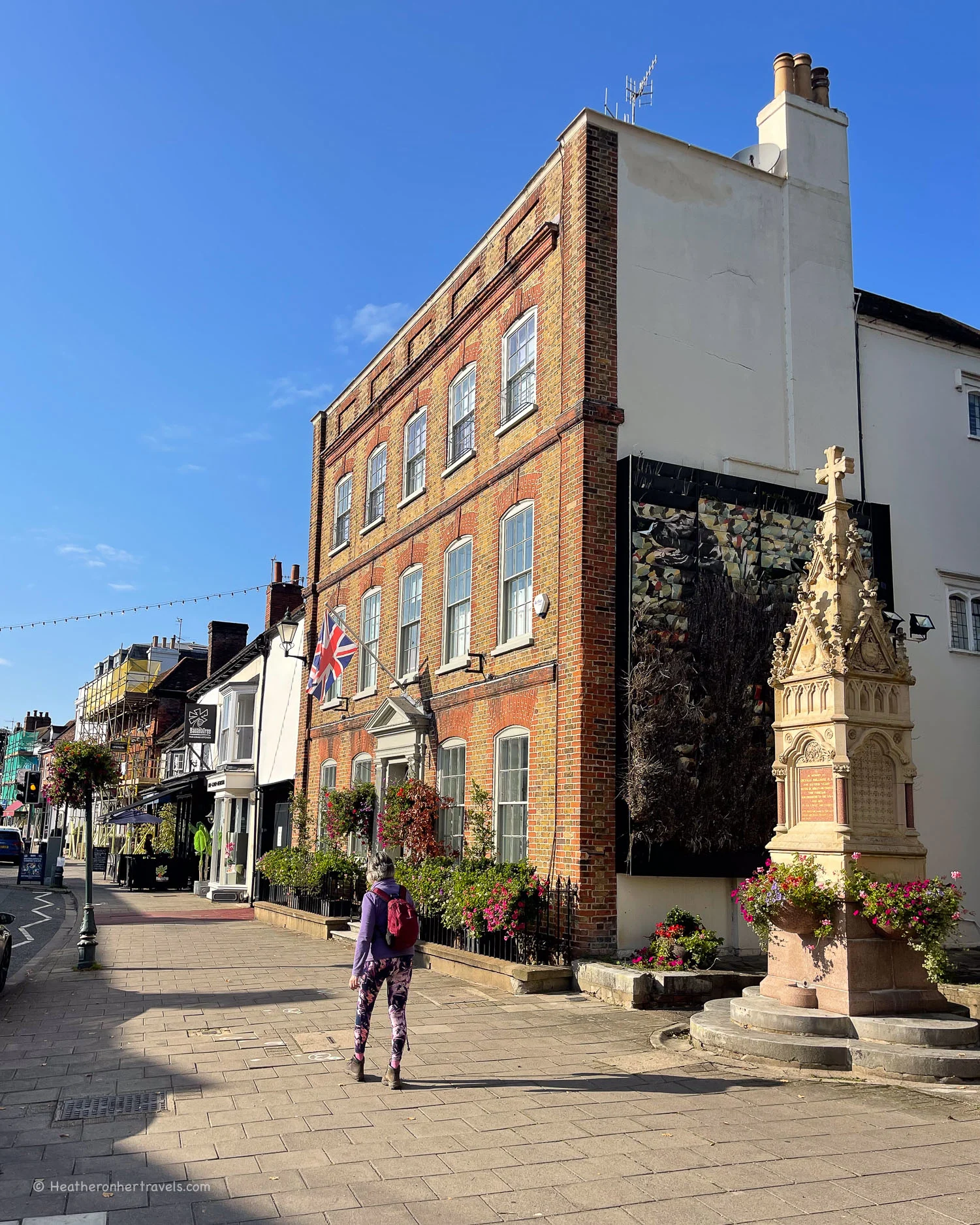
Leaving Henley behind
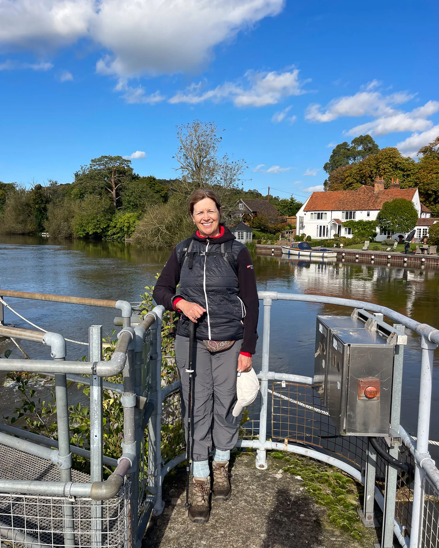
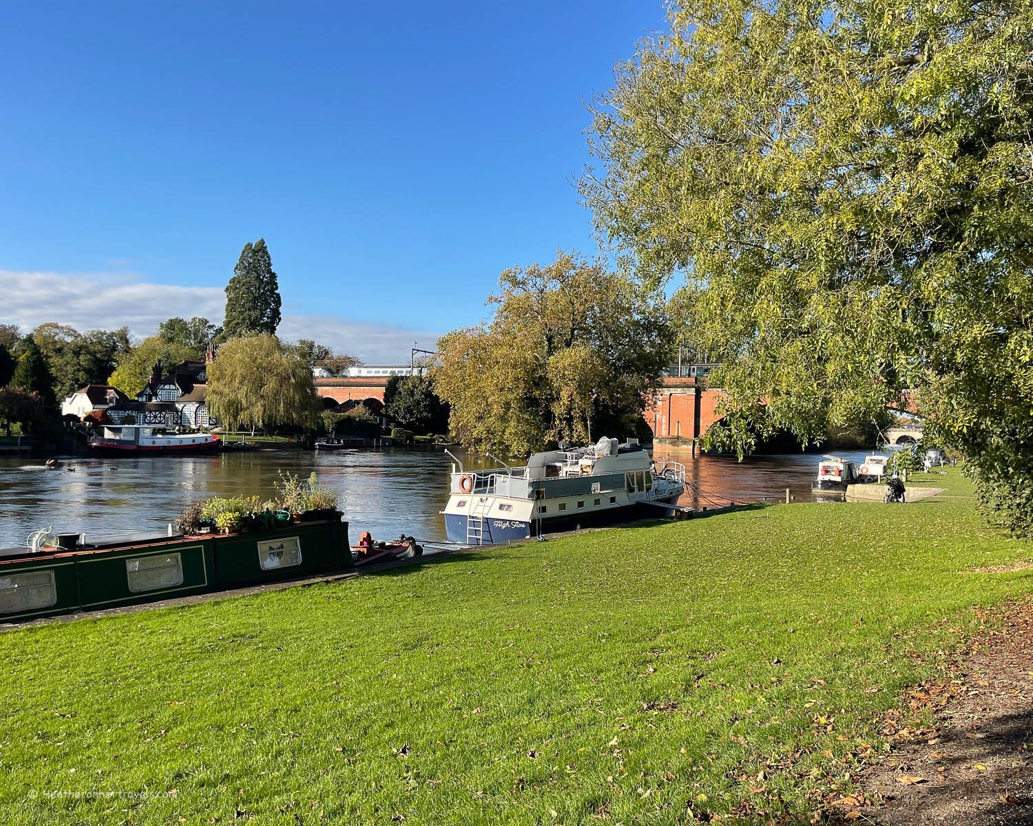
Leaving the attractive town of Henley behind, the Thames Path crosses the bridge to the south bank. Just beyond the bridge you’ll pass Britain’s oldest rowing club, The Leander Club, which is now a hotel.
A paved path runs through well maintained water meadows beside the river. It’s on these grassy lawns that the marquees will be pitched during the Henley Royal Regatta, which is held each July. The pretty classical pavilion on Temple Island is used as a marker during the famous regatta.
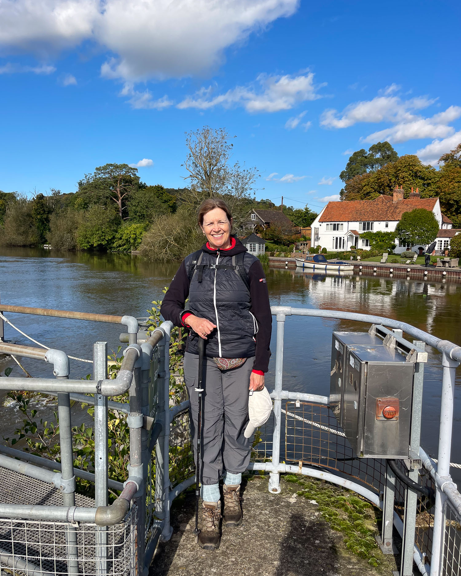
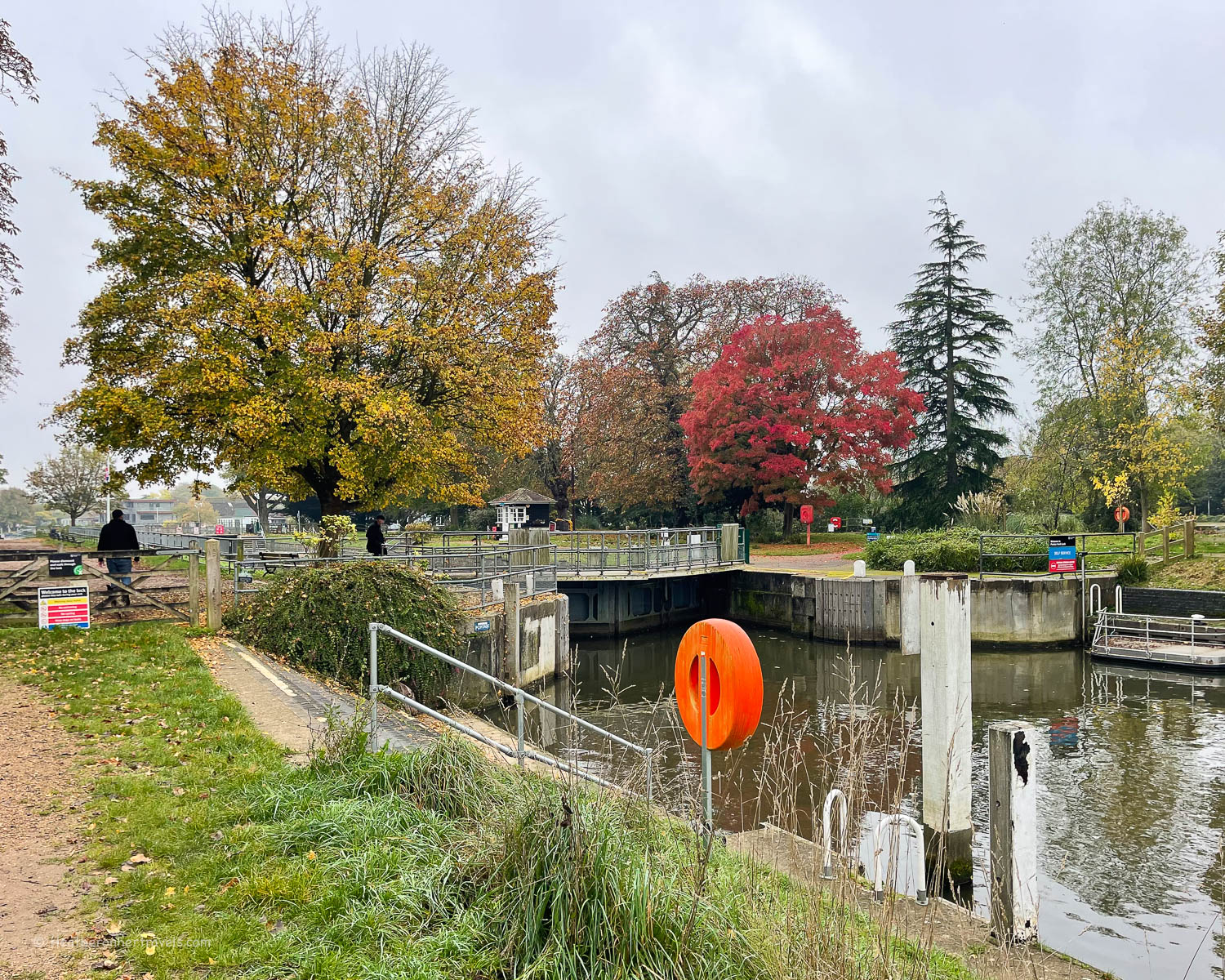
As the river curves at Remenham, the path continues to hug the bank until you reach Hambledon lock, where races start during the Henley Regatta.
Here it’s possible to cross the river on top of the weir to reach Hambledon Marina. The benches at Hambledon Lock made a pleasant place to stop for our picnic lunch.
Warning – diversions!
At this point you should be aware that the Temple foot bridge at Temple Lock is closed for survey and repairs. In October 2024 when we visited, the sign said it had been closed since May 2024, so there did not seem to be any urgency to reopen. This leaves you with a couple of detour possibilities:

Option 1 (recommended) – south bank via Hurley and Bisham
Do not cross the Hambledon Weir, but stay on the south bank of the Thames until the village of Aston.
Here the path turns away from the river along ferry lane, towards the Flower Pot Hotel. It was once used by boatmen manning the ferry that provided a river crossing at this point.
The path now crosses the fields close to Culham Court, then returns to the river with a view of the 13th century Medmenham Abbey on the opposite bank.
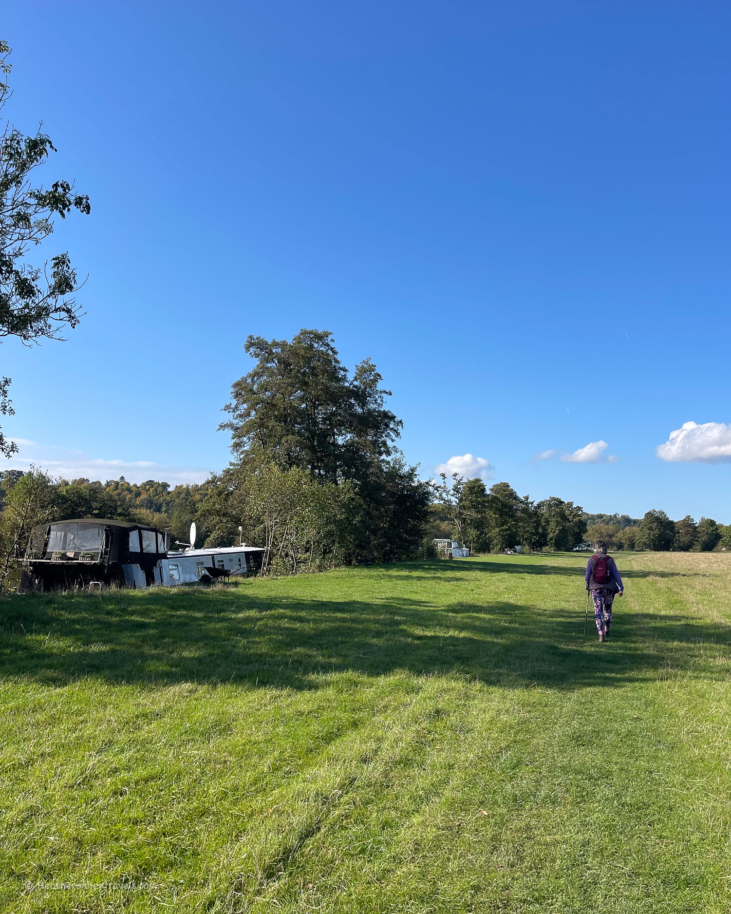
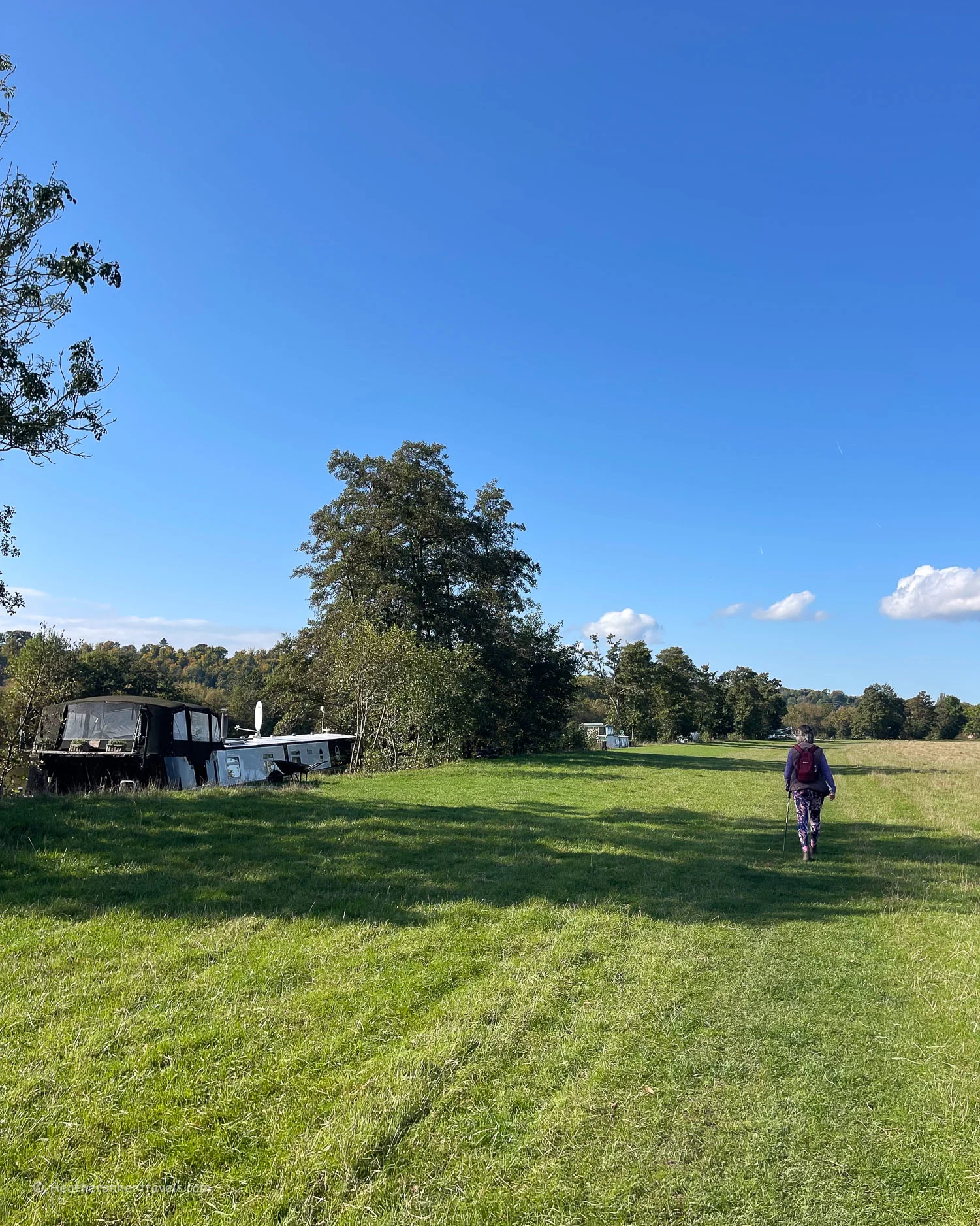
Continue through a wooded area of riverbank until you reach an area of mobile homes overlooking the river, part of Hurley Riverside Park.

At Hurley Lock the river divides among a group of small islands. A campsite and summer tearoom are located on one of them, reached by a wooden bridge.
It’s worth taking the lane into Hurley Village, to look at the Saxon church of St Mary the Virgin. This was originally the chapel of a Benedictine Priory, the remains of which are now private houses.
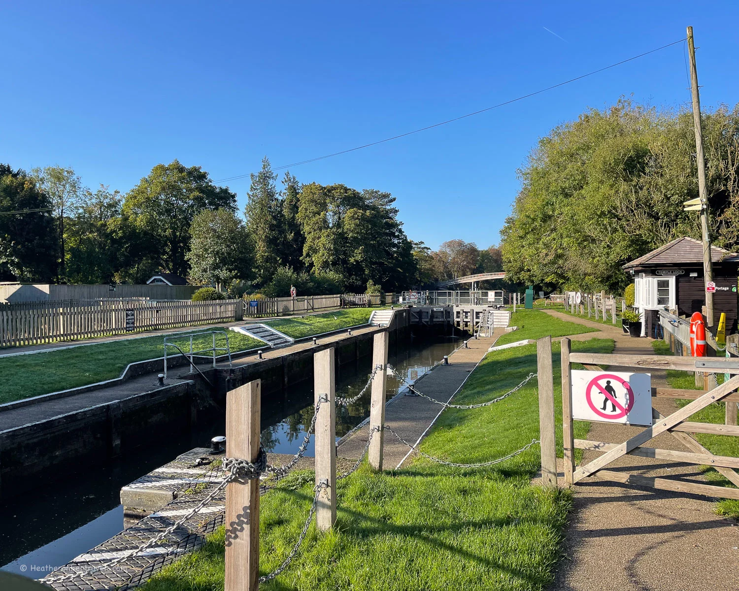
Hurley is a good place to stop for lunch as there are a couple of pubs, including The Old Bell, which was the priory’s guest house. A little beyond Hurley, the Thames Path would normally switch to the north bank, over the arched Temple foot bridge.
However, with this bridge currently closed, you will need to follow the lane to Bisham with its pretty riverside church, then walk along the busy road until you reach the bridge at Marlow.

Option 2 – north bank via Medmenham and Harley Golf course
As we were walking in the opposite direction from Marlow to Henley, we reached the Temple foot bridge, only to find it was closed. Rather than returning to Marlow and retracing our steps on the south bank, we decided to take a detour to the path.

This took us around the Harleyford Golf course, where we stopped for coffee. We then followed the road, before rejoining the river at Medmenham.
Here we found a riverside path along the northern bank for much of the way to Mill End. Then a short walk along the road took us to Hambledon Marina.

At Hambledon we were able to cross the river on the impressive footbridge across the Hambledon Weir and Hambledon Lock. This enabled us to rejoin the Thames Path on the south bank.
Of course, if you are walking from Henley to Marlow, you’ll need to follow these directions in reverse.

Day 9 – Distance and timings
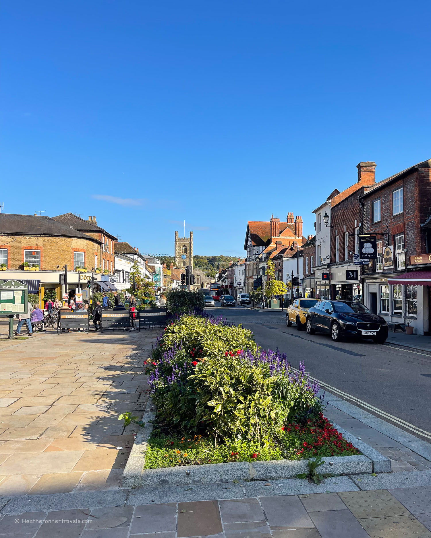
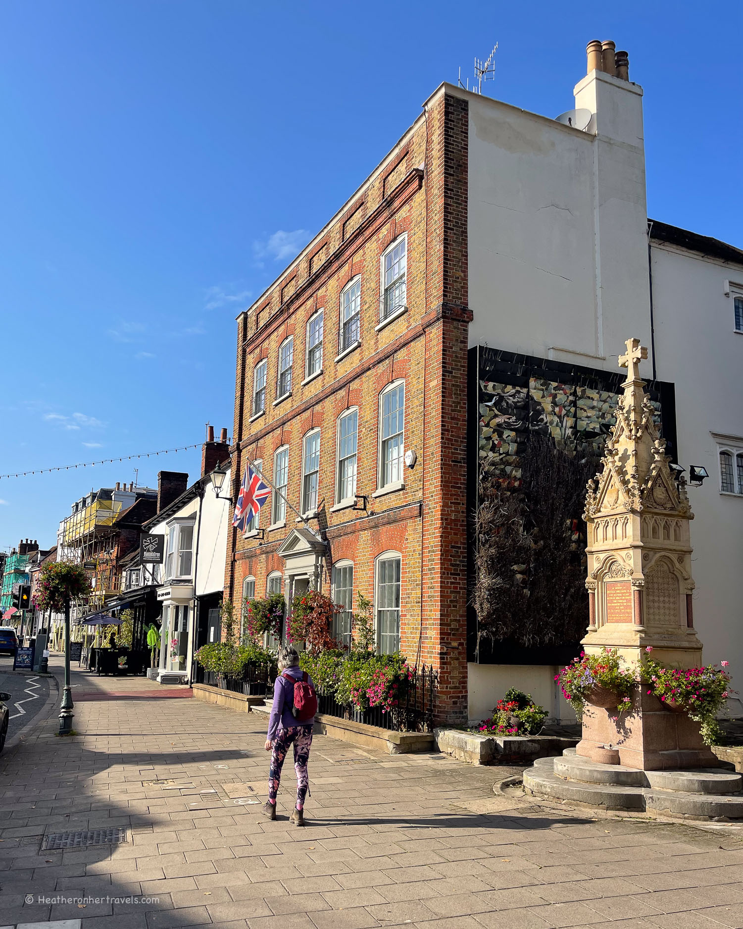
Henley to Marlow is aprox 8.5 miles / 14 km and took us 5 hours to walk, although this included some detours. As this is one of the shorter stages, you should have time to explore Henley and Marlow, both of which are attractive riverside towns.

Day 9 – Where to stay
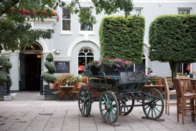
Henley: For budget options try The Catherine Wheel (traditional pub) or RIOSHOUSE (contemporary no-reception rooms). For more luxurious options, look at The Relais ( the former historic Red Lion Inn) or Hotel du Vin. All of these are well located in the centre of Henley, close to the many shops and restaurants.
Marlow: There are a few places to stay in Marlow, although not as much choice as Henley. We recommend The Chequers Marlow, for boutique style in the centre of town or the Premier Inn for a budget choice.

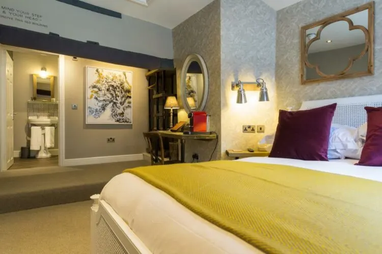
The Chequers is a boutique style inn with rooms, located in the centre of Marlow
Day 9 – Where to eat
Both Henley and Marlow have a wide range of places to eat in the centre of town, as well as shops to stock up on picnic supplies.
On the walk between Henley and Marlow, The Flower Pot pub at Aston serves traditional pub food. Perhaps a better place to break for lunch is Hurley, where the Thames path crosses the river on a footbridge.
At the campsite on Hurley Lock is a tea room that’s open in the summer months. Within the village of Hurley are two pubs that both serve lunch as well as a village shop. The Old Bell at Hurley offers a more upscale menu. Alternatively, The Rising Sun is a traditional pub serving Indian food as well as pies and pub dishes.
If you are forced, as we were due to the closure of Hurley Bridge, to walk on the north bank of the Thames, you could try Harleyford Golf Club, which serves drinks and snacks to non-members.
Day 9 – Transport for this stage
Henley has a railway station, which is on a branch line connecting to Twyford. At Twyford you can change to the GWR Bristol to London line or the Elizabeth Line into London. Marlow also has a railway station, which can be reached from London by changing at Maidenhead.
The number 800 and 850 buses run between Henley and Marlow, so you could park in either town, take the bus and then walk back on the Thames path. For this stage, we parked in the Southfields Car Park (24 hrs) at Henley and took the 850 bus from Henley to Marlow, then walked on the Thames Path back to Henley.
Day 10 – Marlow – Maidenhead – Windsor
This was one of the most enjoyable stretches of the Thames, with a series of picturesque riverside towns and villages. A towpath follows the river closely, with a chance to admire the elegant Edwardian mansions and boathouses.
It was this stretch of the Thames that inspired classics of English Literature like ‘The Wind in the Willows’ and ‘Three men in a boat’.
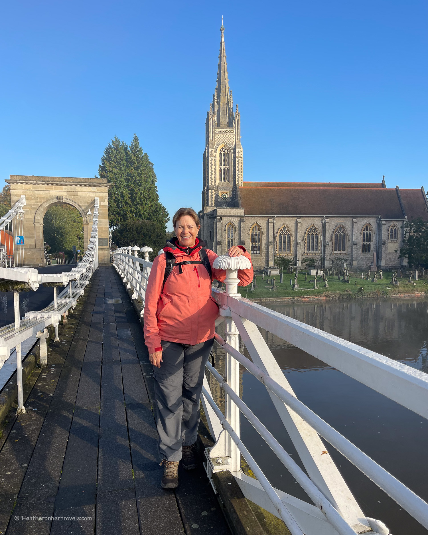
Leaving Marlow behind
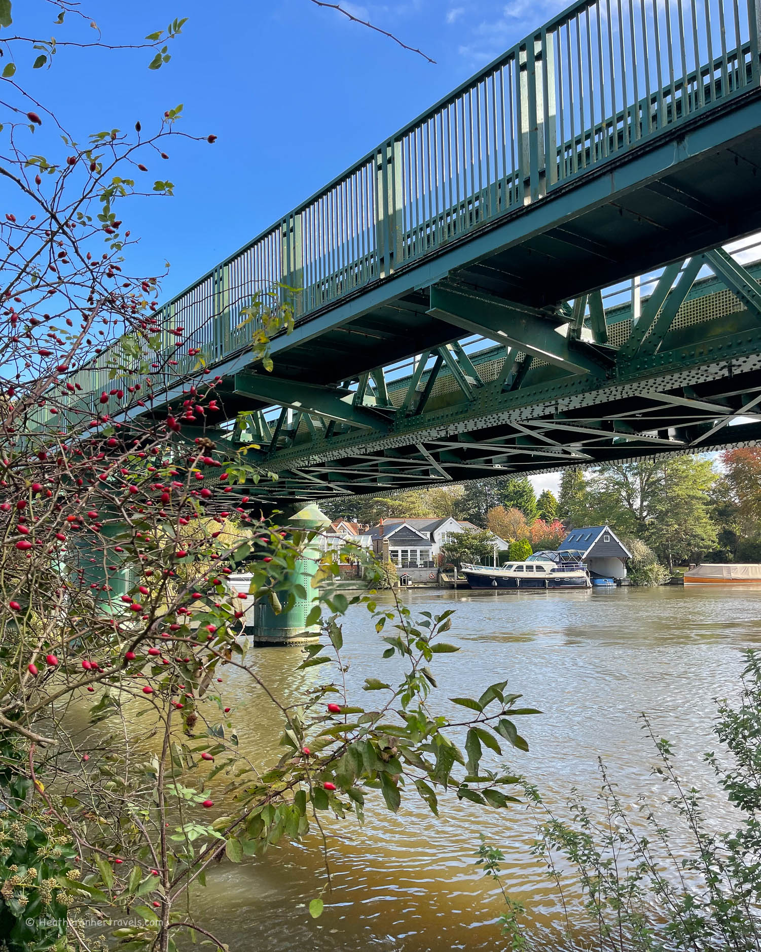
We were sad to leave the pretty town of Marlow behind, as we skirted behind the church with glimpses down the lane of Marlow weir. The path took us through open water meadows beside the river, to Bourne End, with its small marina and sailing club.
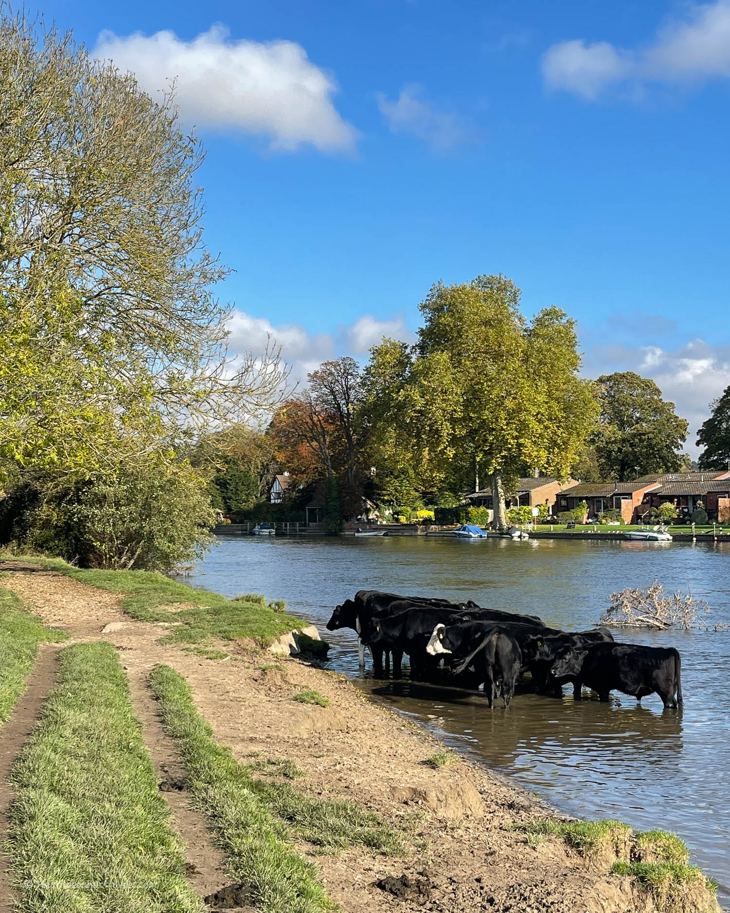
Here we crossed over the steel footbridge to continue on the opposite bank. The herd of cows we passed wallowing in the river, could have been straight out of a Turner painting.
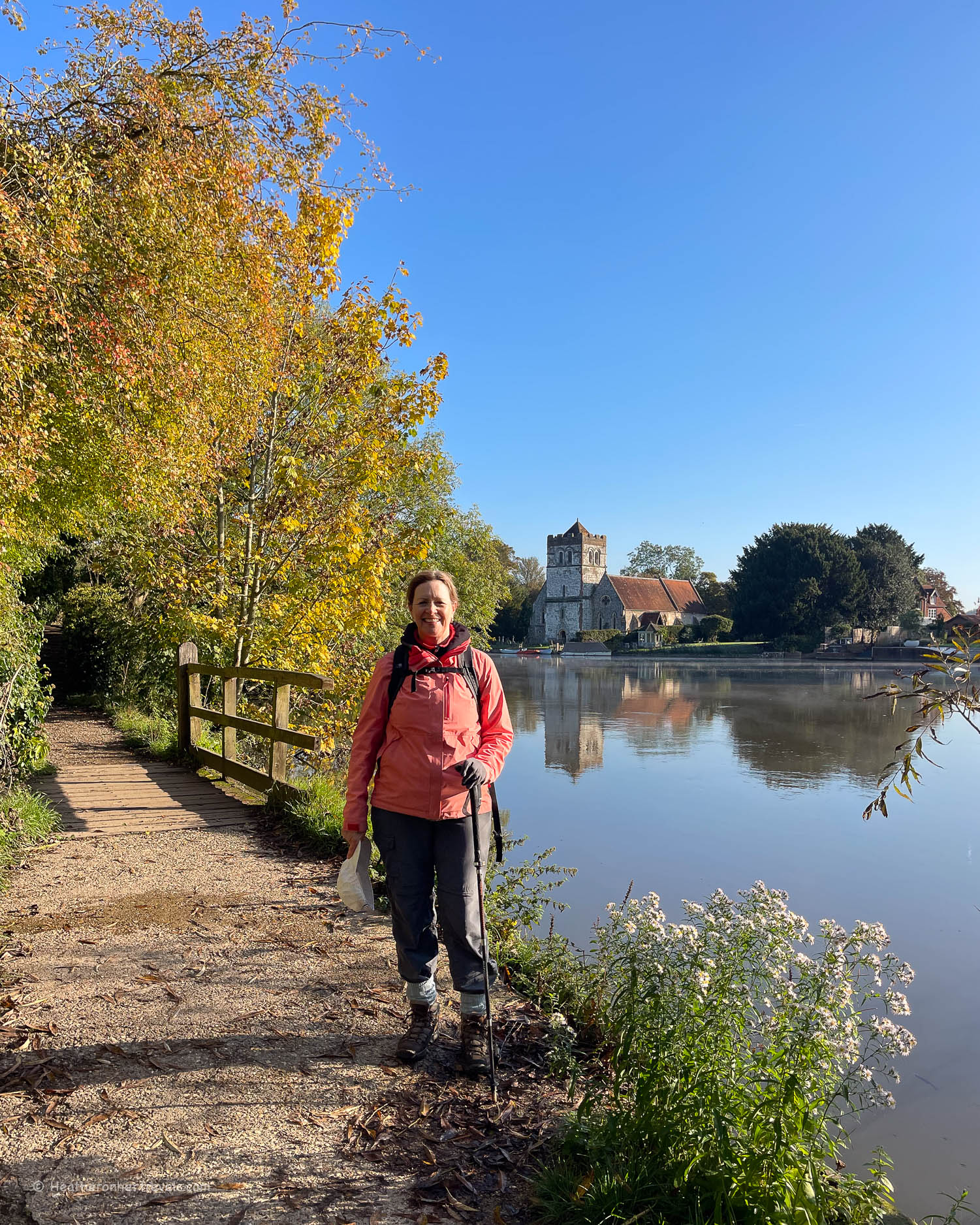
A stretch of grazing meadow, managed by the National Trust, lead us into the village of Cookham.
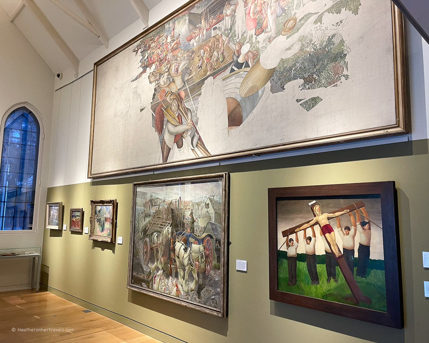
Stanley Spencer and Cookham
This prettiest of villages, with its 12th century church, was the home of the 20th century artist Stanley Spencer, who lived here until his death in 1959.
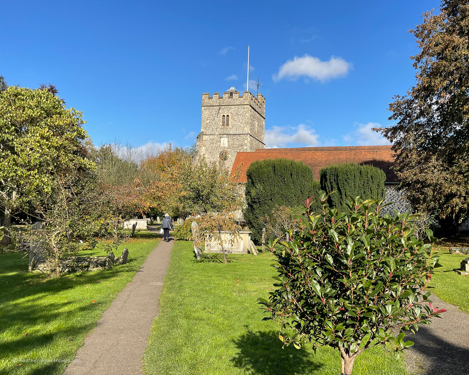
He is known for setting his religious and rural paintings in locations around Cookham, using the faces of real people he knew. The small Stanley Spencer Gallery in the heart of the village, is well worth a visit, with changing themed exhibitions of his work.
Heading out of Cookham, the path runs opposite the stately home of Cliveden, now a luxury hotel. It was the home to the Astor family, who were known for their lavish parties. The house also featured in the Profumo scandal, which rocked the government in the 1960s.
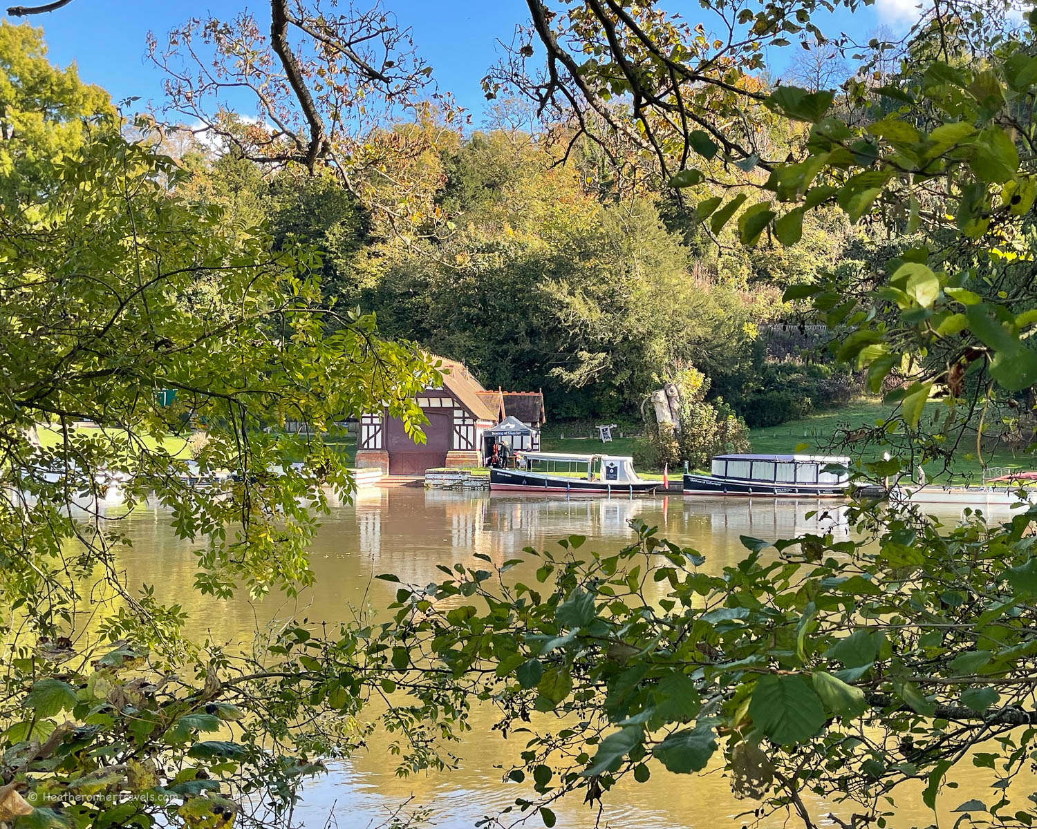
The house is out of sight from the riverbank, but the gardens run by the National Trust and their attractive Edwardian boathouses, can be admired from the opposite bank.
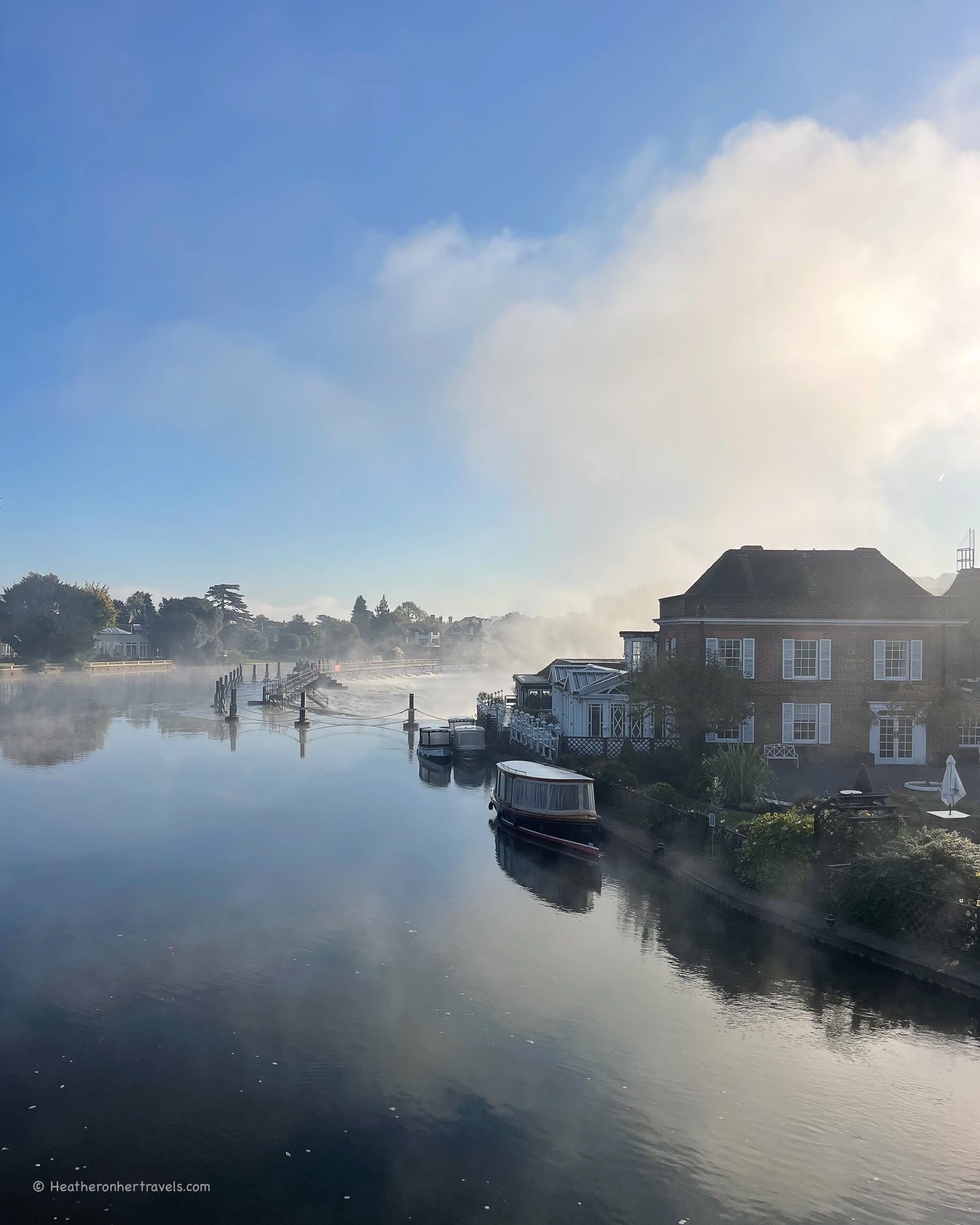
Arriving in Maidenhead
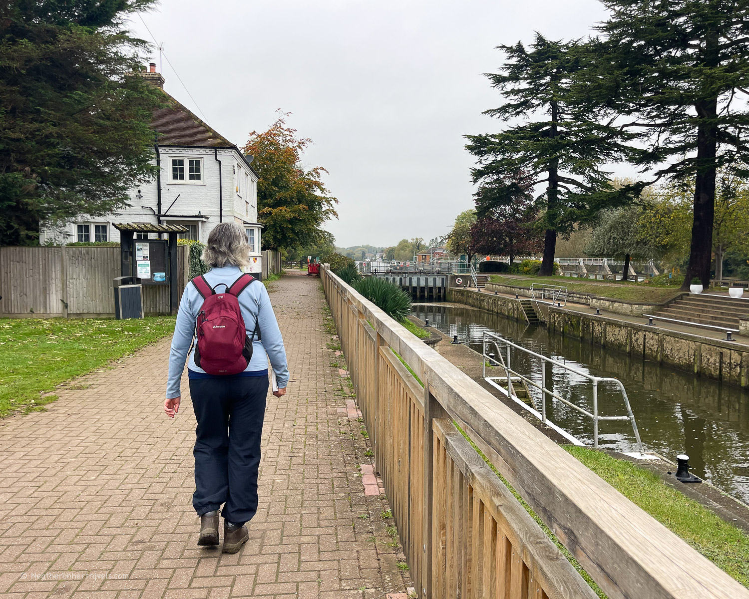
Arriving in Maidenhead, we took a break for our picnic lunch at Boulter’s Lock. At this attractive location, a footbridge crosses to Ray Mill Island and over the river to the Taplow side.
The path follows the road for a short distance to Maidenhead Bridge. We crossed to continue the path on the other side, passing under the Victorian brick railway bridge, expertly engineered by Isambard Kingdom Brunel.
The riverside path leading down to Bray offered views of the river on one side and a succession of elegant riverfront houses on the other.
Beyond Bray we passed under the M4 motorway, the roar of traffic slightly spoiling the peaceful atmosphere. Visible on the map but out of sight for walkers was the manmade Dorney Lake, used for rowing practice by nearby Eton College.
Approaching Windsor
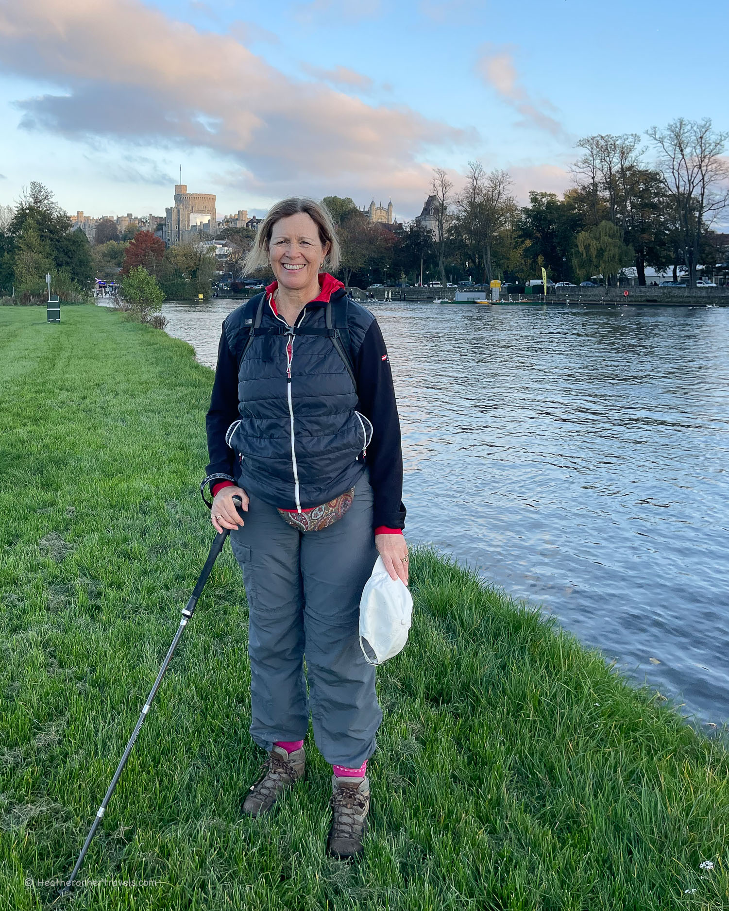
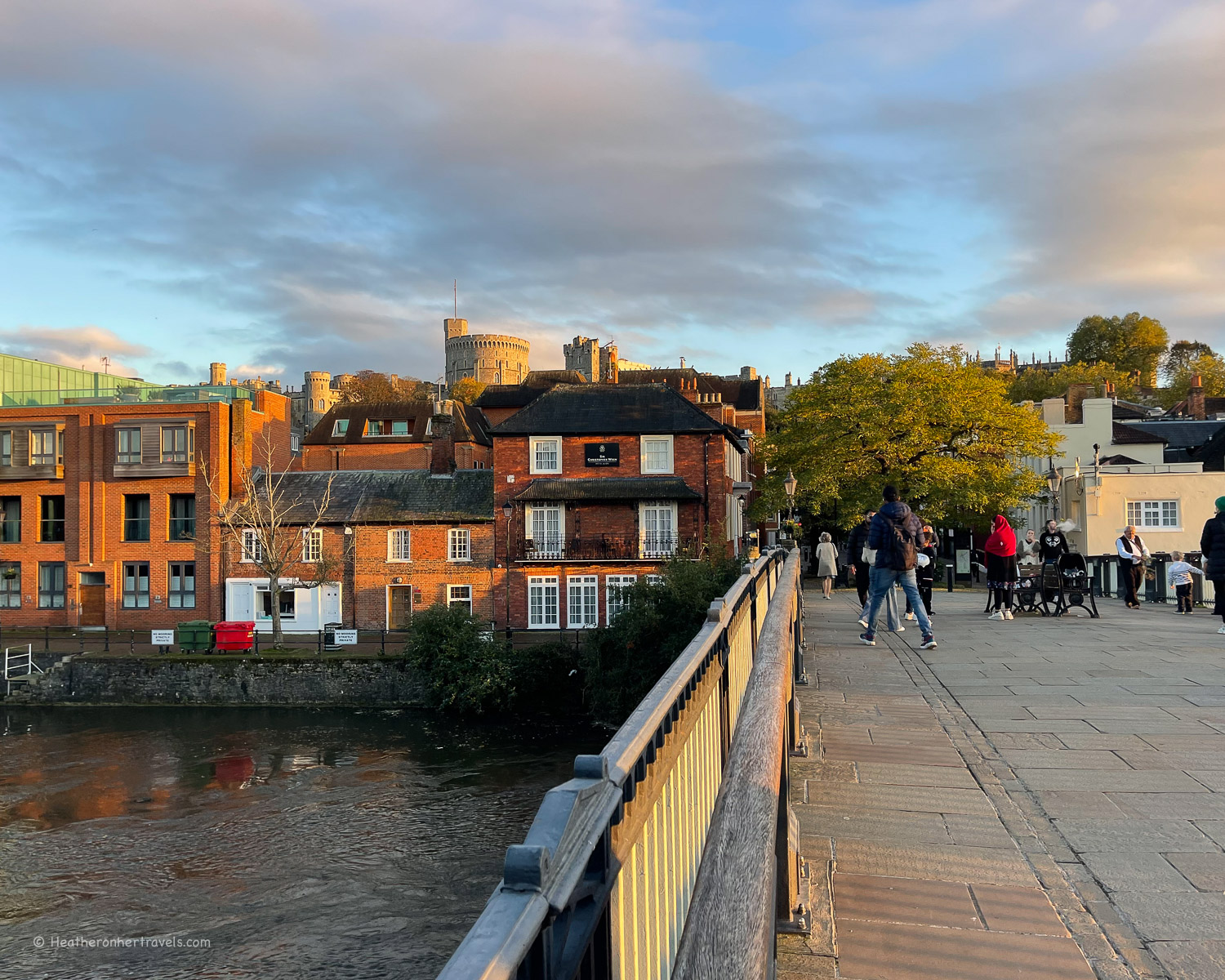
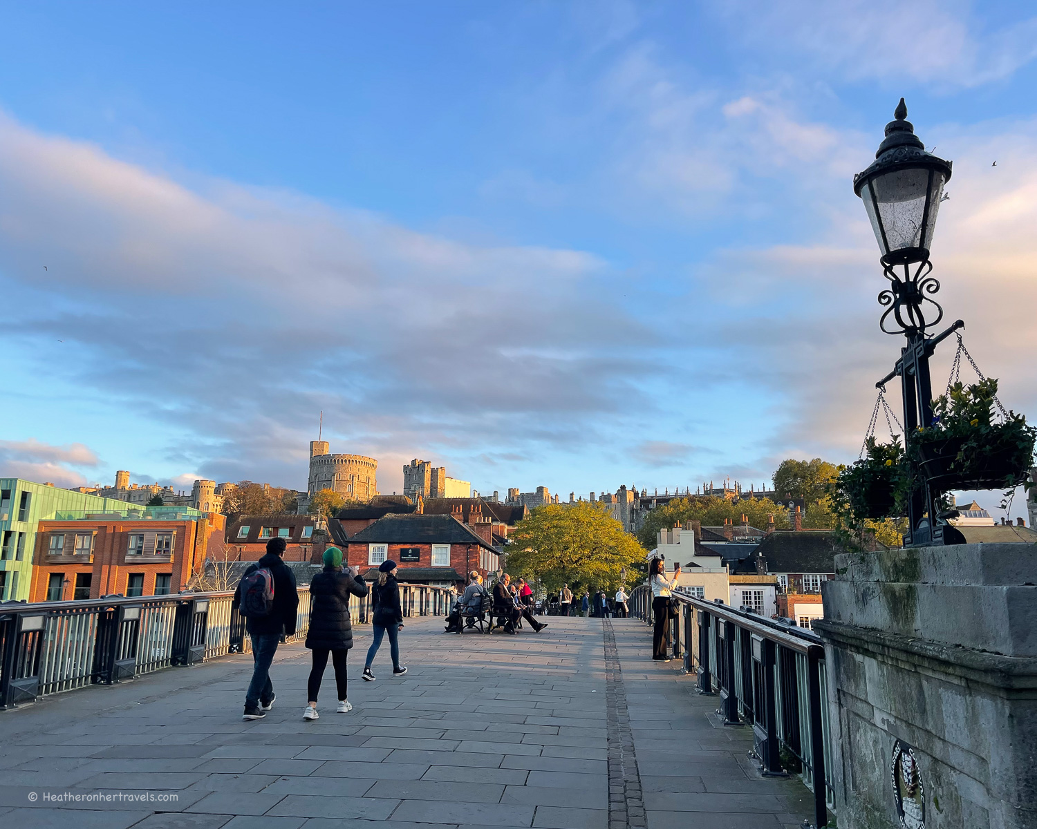
Beyond Boveney Lock, the path took us under the mainline railway bridge and through the meadows past the exclusive private school of Eton College. By now we could glimpse the views of Windsor Castle rising above the town.
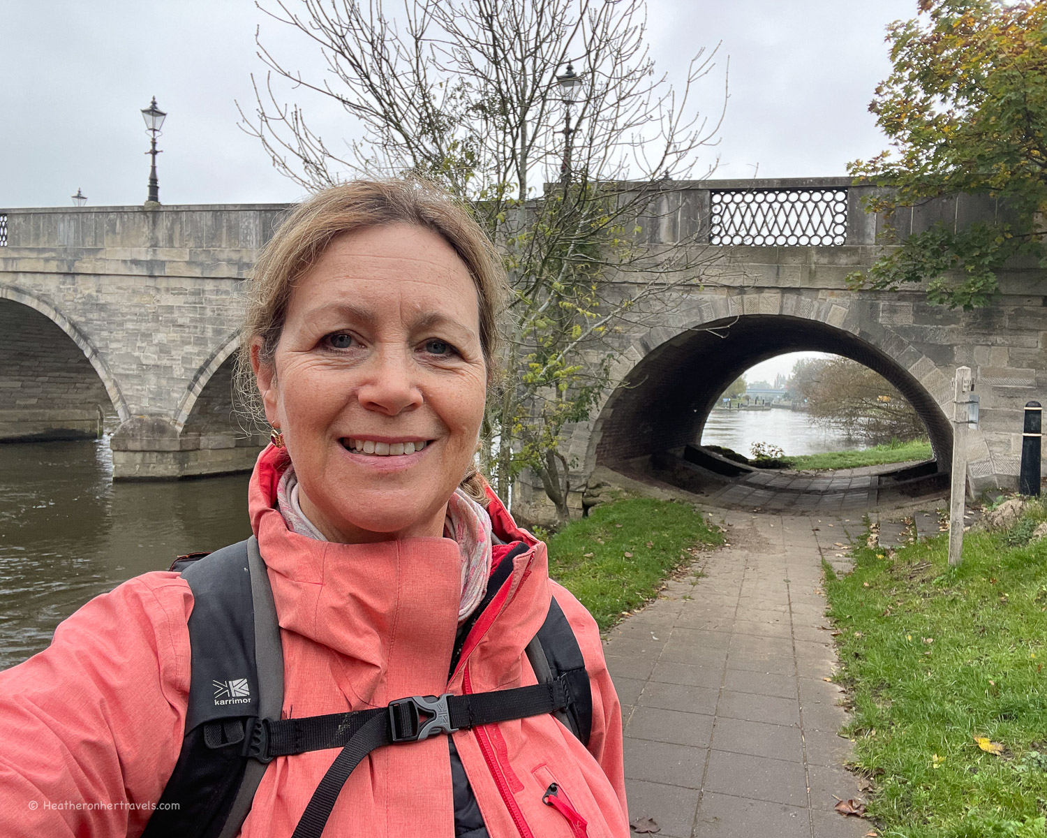
It was originally built as a fortress by William the Conquerer and is one of the main residences of the English Royal Family. The famous chapel has been a location for many royal marriages. Crossing the bridge took us into the historic town of Windsor, the end of this day’s walk.
Day 10 – Distance and timings
Marlow to Windsor is aprox 13.5 miles / 21.7 km and took us 7 hours to walk, including lunch and rest stops as well as a visit to the Stanley Spencer Gallery.
If you want to plan in a rest day, Windsor Castle is a major heritage attraction and well worth a visit, but you’d need at least half a day to do it justice.
Day 10 – Where to stay
Marlow: There are a few places to stay in Marlow. We recommend The Chequers Marlow, for boutique style in the centre of town or the Premier Inn for a budget choice.
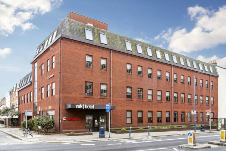
Windsor: There are a number of hotels and guest houses in Windsor to suit every budget. As prices vary widely with demand, we suggest comparing all Windsor hotels for your dates. One good mid range option is the Holiday Inn Express.
Day 10 – Where to eat
Both Marlow and Windsor have a wide range of places to eat, as well as shops to stock up on picnic supplies. On the walk you can find places to eat at:
Maidenhead – At Boulter’s Lock cross the footbridge onto Ray Mill Island, which is a pleasant place for a picnic, with a seasonal cafe. You could also get lunch or coffee at the attractive Boathouse pub. A little further, Jenner’s Riverside Cafe is in the Riverside park, or the Thames Riviera Hotel is by Maidenhead bridge.
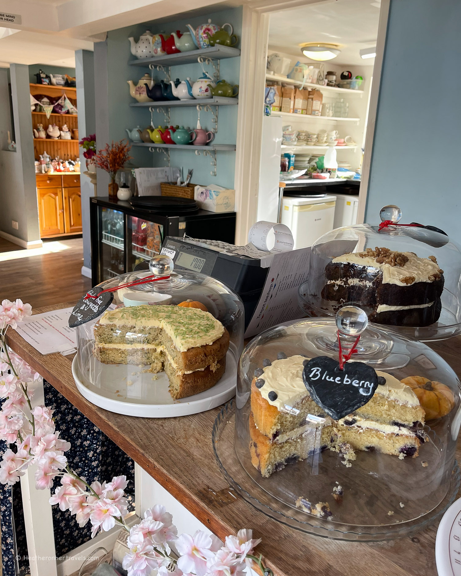
Cookham – Try the tea and cake at the Teapot tea shop, or a pub lunch at The Ferry or The Crown pubs.
Day 10 – Transport for this stage
Marlow has a railway station, which can be reached from London by changing at Maidenhead. Windsor also has a railway station, which can be reached on a direct train from London Waterloo, or via the Elizabeth line with a change at Slough.
If you need to travel between Marlow and Windsor, the time by road is 20-25 minutes. However there are no direct bus connections and the route by train takes around 1 hour, requiring 2 changes, due to each station being on different branch lines.
Because we had 2 cars, we left one car at each end of the trail and drove back to recover the second car at the end of the day.
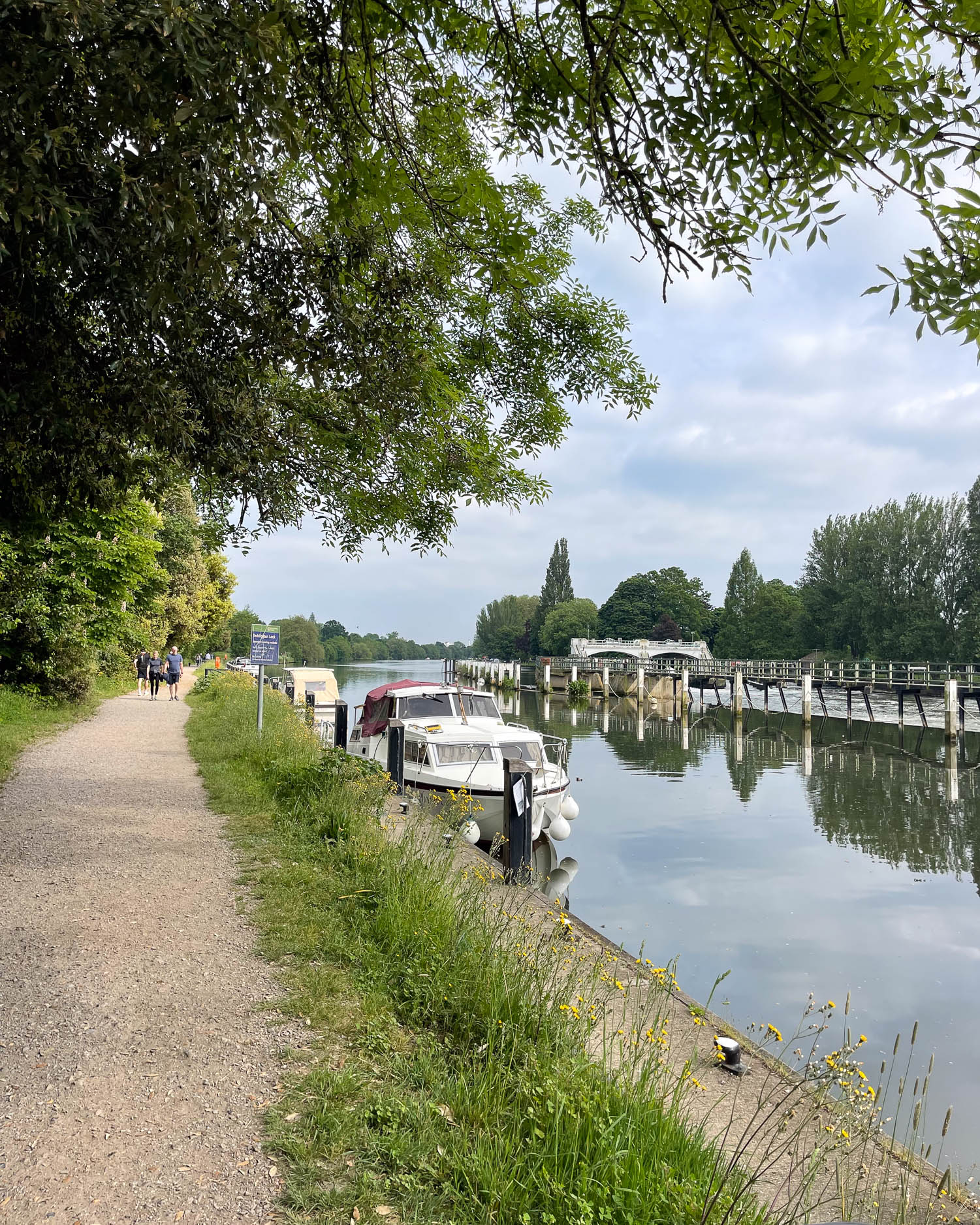
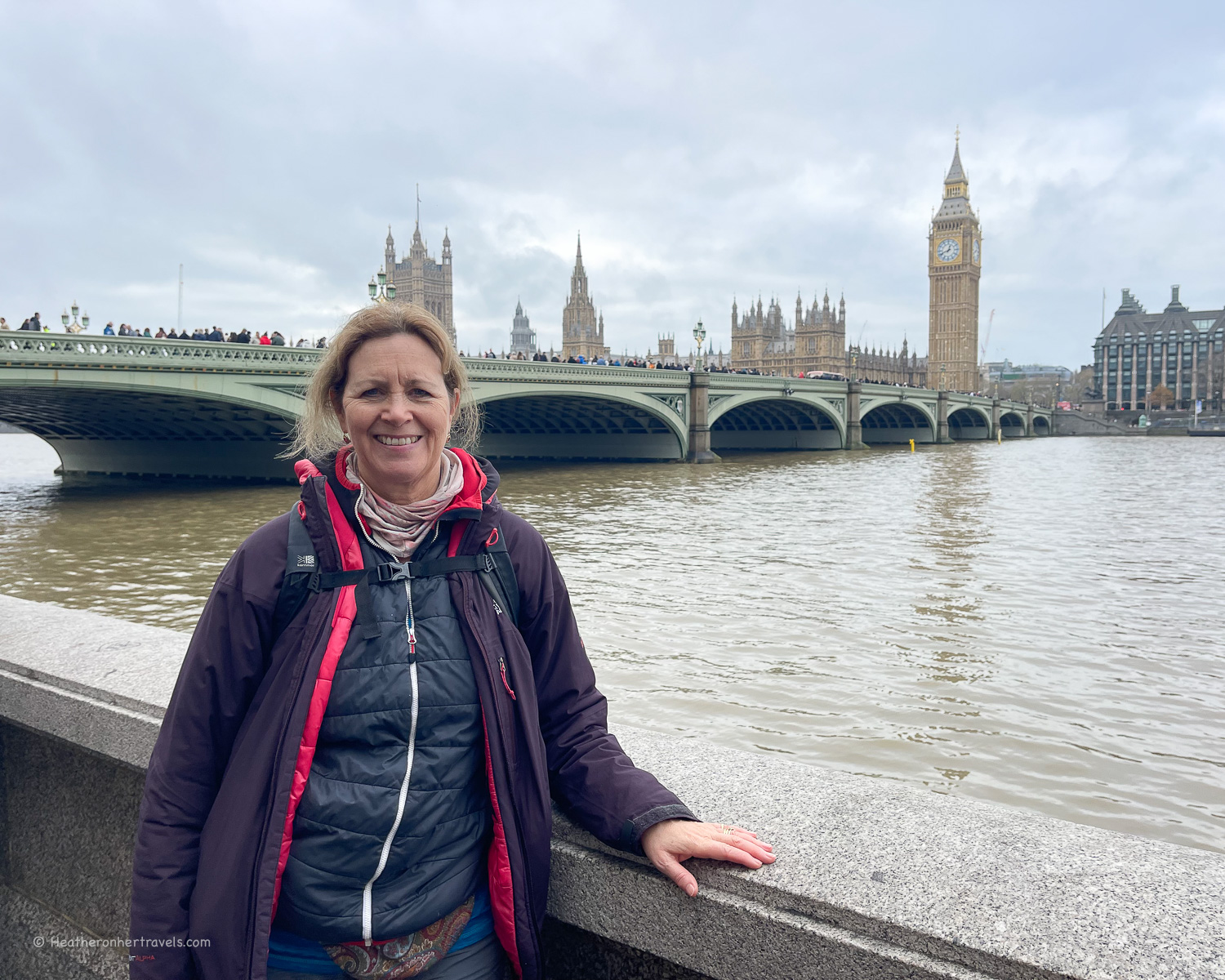
Day 11 – Windsor – Staines – Chertsey Bridge
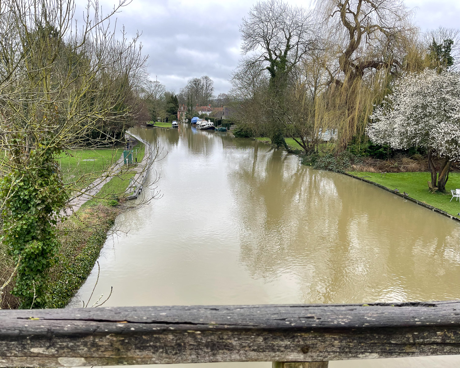
Although it has some attractive stretches around Runnymede, this part of the Thames starts to feel quite developed, as you enter the orbit of the M25 motorway that encircles London. This was not one of our favourite stretches, although it could have just been that the grey skies and drizzle dampened our enthusiasm!
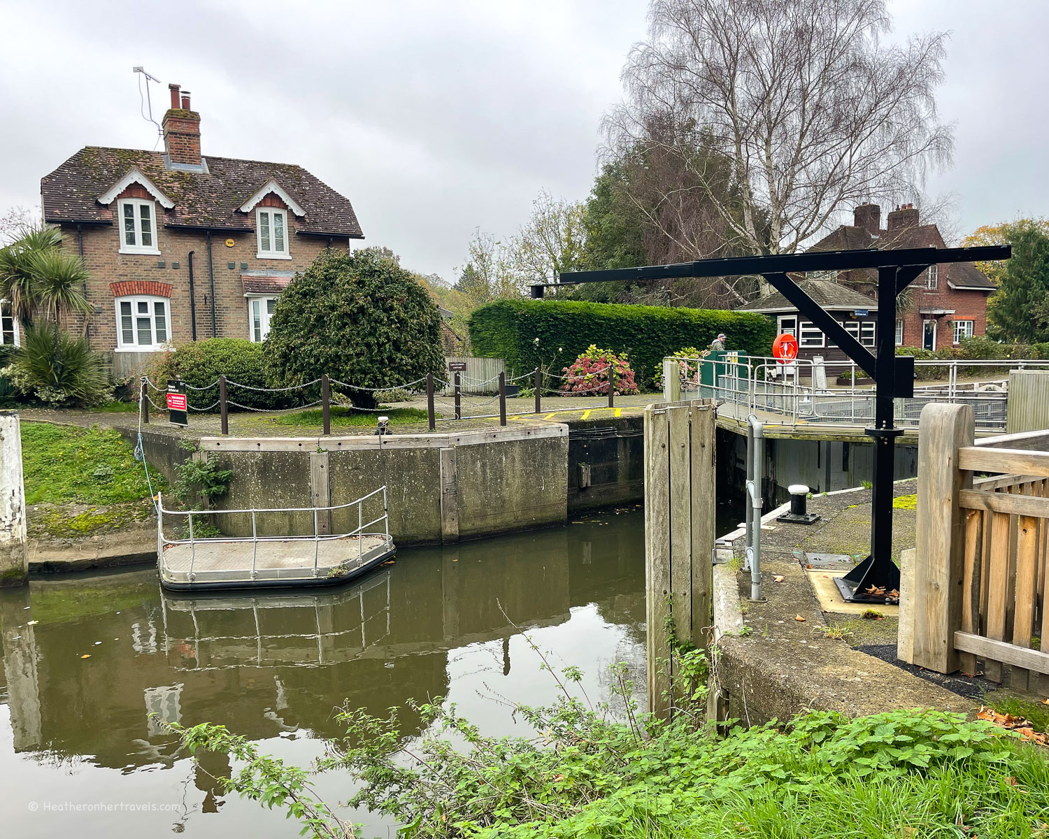
The path out of Windsor follows a loop in the river, and beyond Victoria Bridge offers fine views of Windsor Great Park and castle on the opposite bank. At Old Windsor there’s a lock and the path follows a canal that cuts off the loop in the river.
Runnymede Meadow
Between Windsor and Staines lies the Runnymede meadow, bounded on one side by the wooded slopes of Cooper’s Hill. This is the location of an historic meeting in 1215, between King John and his barons.
It’s considered a turning point in English history, since the king was forced to accept limits on his powers, enshrined in a document known as the ‘Magna Carta’.
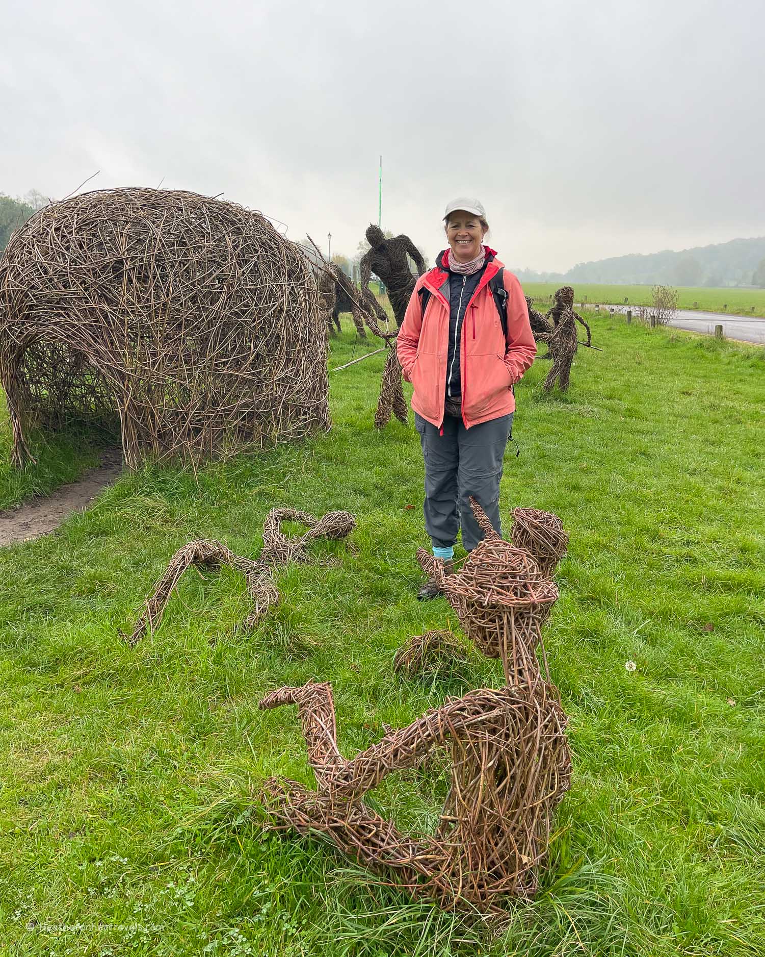
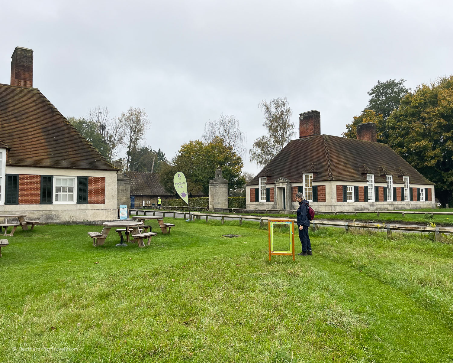
Runnymede Meadow is managed by the National Trust, with some outdoor sculptures and a tea room near the road.
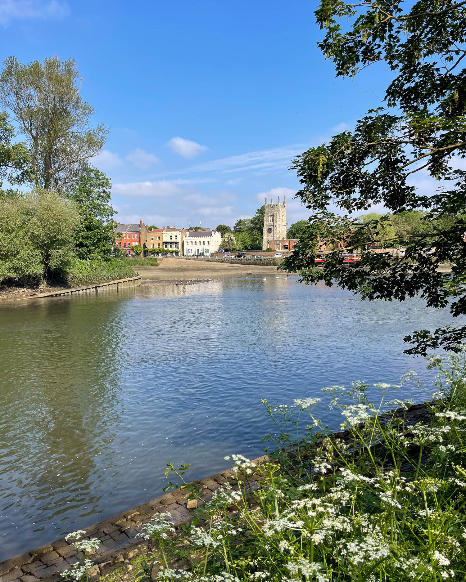
Staines
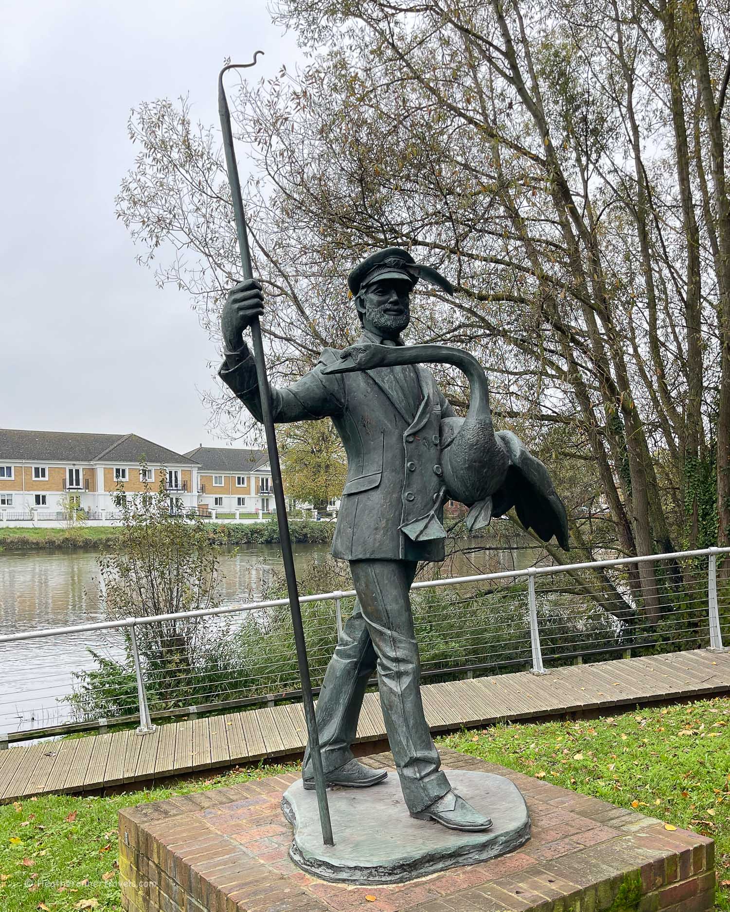
The town of Staines has a less affluent feel compared to the elegant riverside towns of Marlow, Henley and Windsor upstream. It’s close to Heathrow Airport and surrounded by reservoirs that supply London with drinking water, although you won’t necessarily see them from the Thames Path.
The riverside at Staines seems to have a strong affinity with swans, and we saw several swan related sculptures in the riverside park. There’s also a stone marker to show that this was the furthest point of the river over which the city of London had any jurisdiction.
Beyond Staines, the landscape becomes decidedly suburban, with modern houses lining the banks. The path passes the village of Laleham and under the M3 Motorway bridge, with its accompanying roar of traffic.
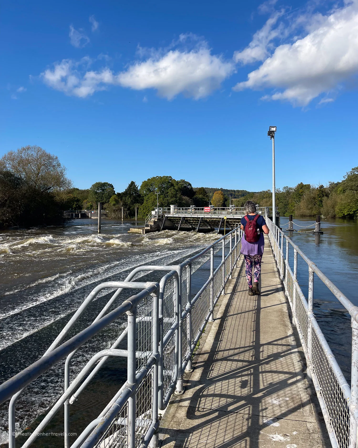
Soon after Chertsey weir you’ll arrive at Chertsey Bridge, although the town and station is around 20 minutes walk from the river.
Day 11 – Distance and timings
Windsor to Chertsey Bridge is aprox 11.5 miles / 18.4 km and took us 6.5 hours to walk, including lunch and rest stops.
Day 11 – Where to stay
Windsor: There are a number of hotels and guest houses in Windsor to suit every budget. As prices vary widely with demand, we suggest comparing all Windsor hotels for your dates. One good mid range option is the Holiday Inn Express.
Chertsey Bridge: The best option by Chertsey Bridge is The Bridge Hotel, a stylish and comfortable riverside pub. Alternatively, try the Crown Hotel or Old Swan Hotel, which are 20 minutes walk from the river in Chertsey town.
Day 11 – Where to eat
Windsor has a wide range of places to eat, as well as shops to stock up on picnic supplies. At Chertsey there are a couple of pubs near the bridge, but the nearest convenience store is a 10 minute walk from the river.
On this stretch, look out for:
Runnymede – The Magna Carta Tea Room is run by the National Trust. A little further on, the Runnymede Pleasure Ground is a good place for a picnic, with benches overlooking the river and there’s a cafe there too.
Bell Weir Lock – The impressive Thames Hotel and Spa has a restaurant with terrace overlooking the river.
Staines – there are several coffee shops, pubs and restaurants close to the river. We enjoyed a coffee at Nostrano Lounge, within the pedestrianised shopping area.
Day 11 – Transport for this stage
Windsor has a railway station, which can be reached on a direct train from London Waterloo, or via the Elizabeth line with a change at Slough.
Chertsey also has a railway station, although it is 30 minutes walk from Chertsey Bridge where the stage ends.
If you need to travel between Windsor and Chertsey, the time by road is 20-25 minutes. However there are no direct bus connections and the route by train takes around 1 hour, requiring a change at Staines.
Because we had 2 cars, we left one car at each end of the trail and drove back to recover the second car at the end of the day. At Chertsey Bridge, there is a small free car park right by the bridge.
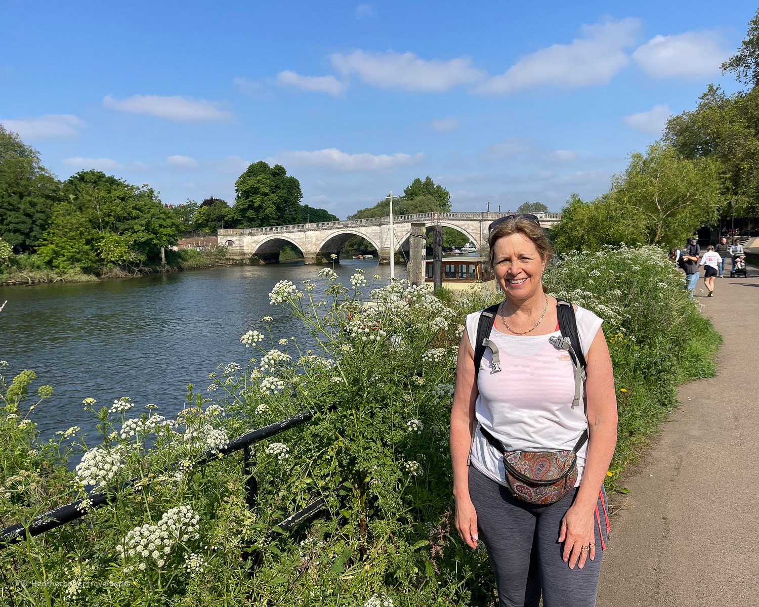
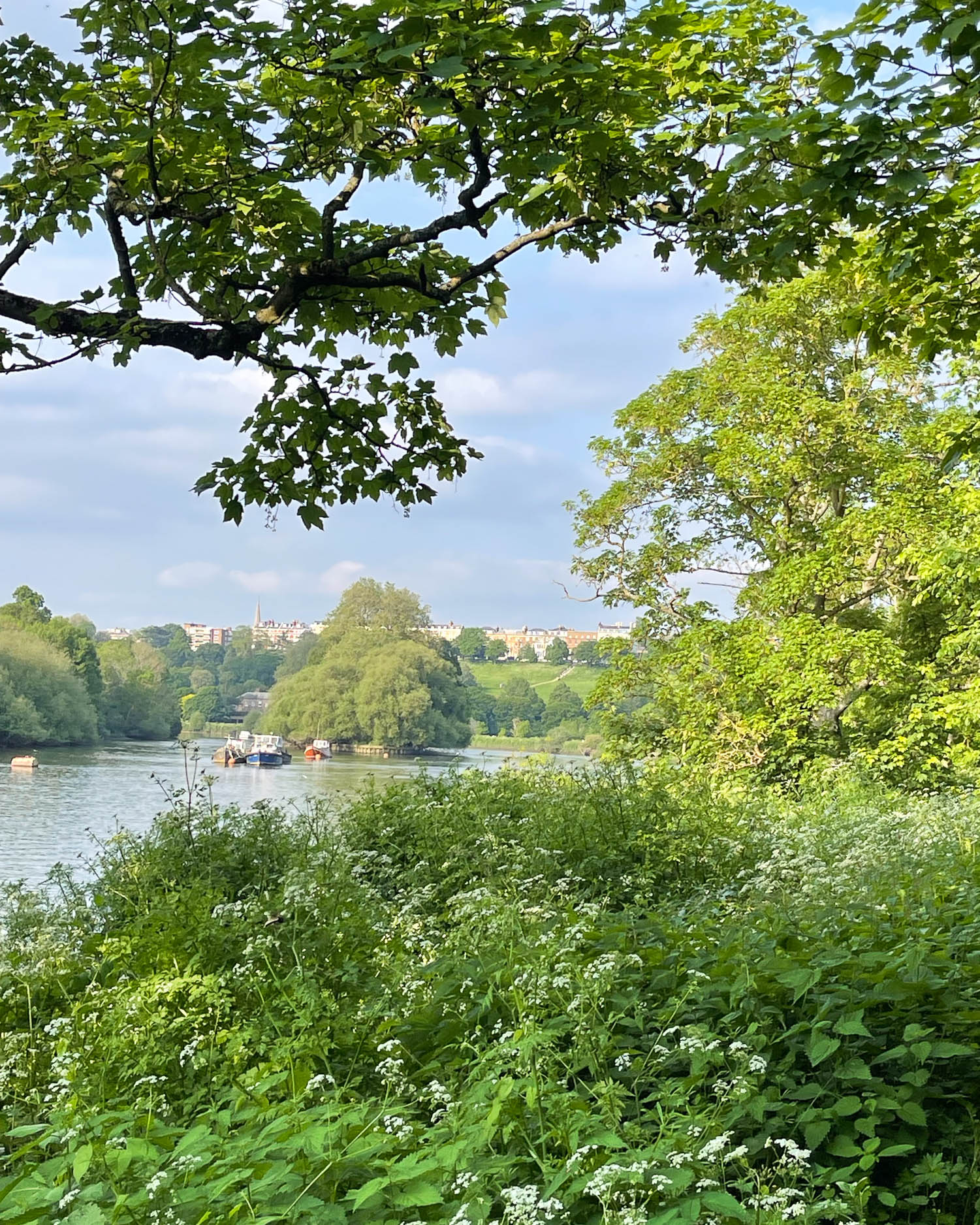
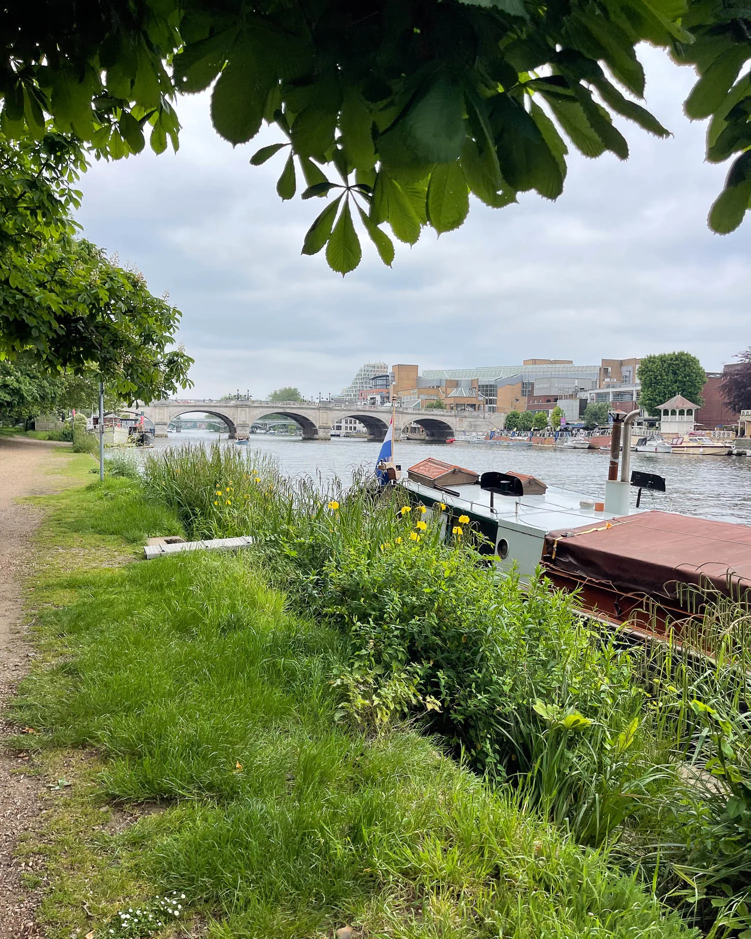
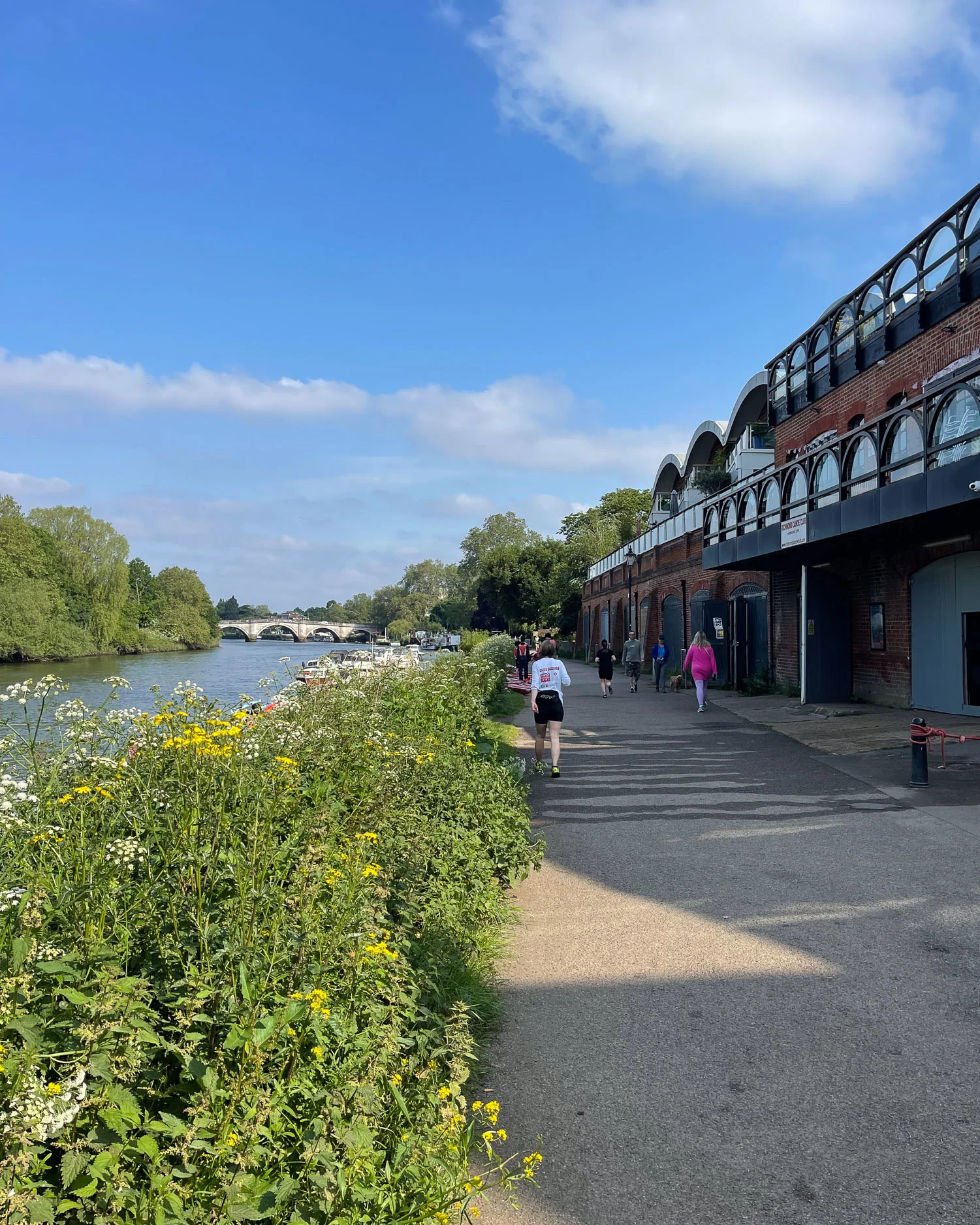
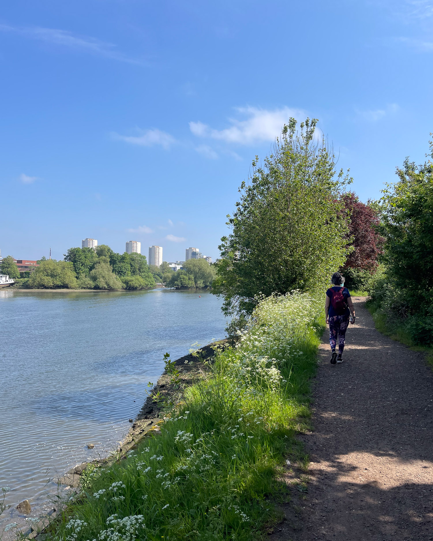
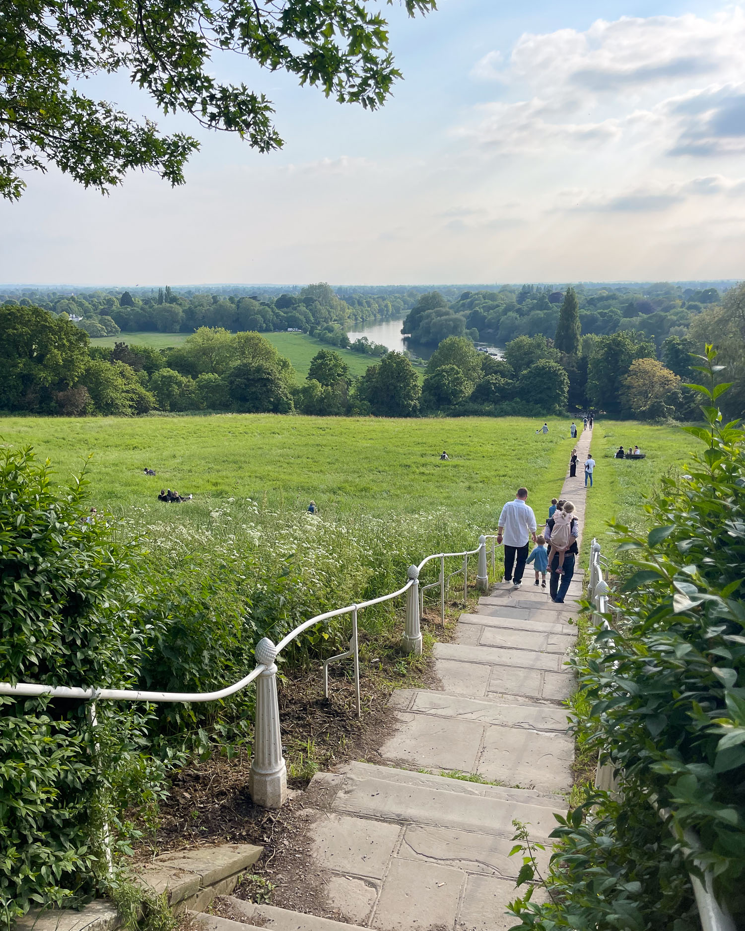
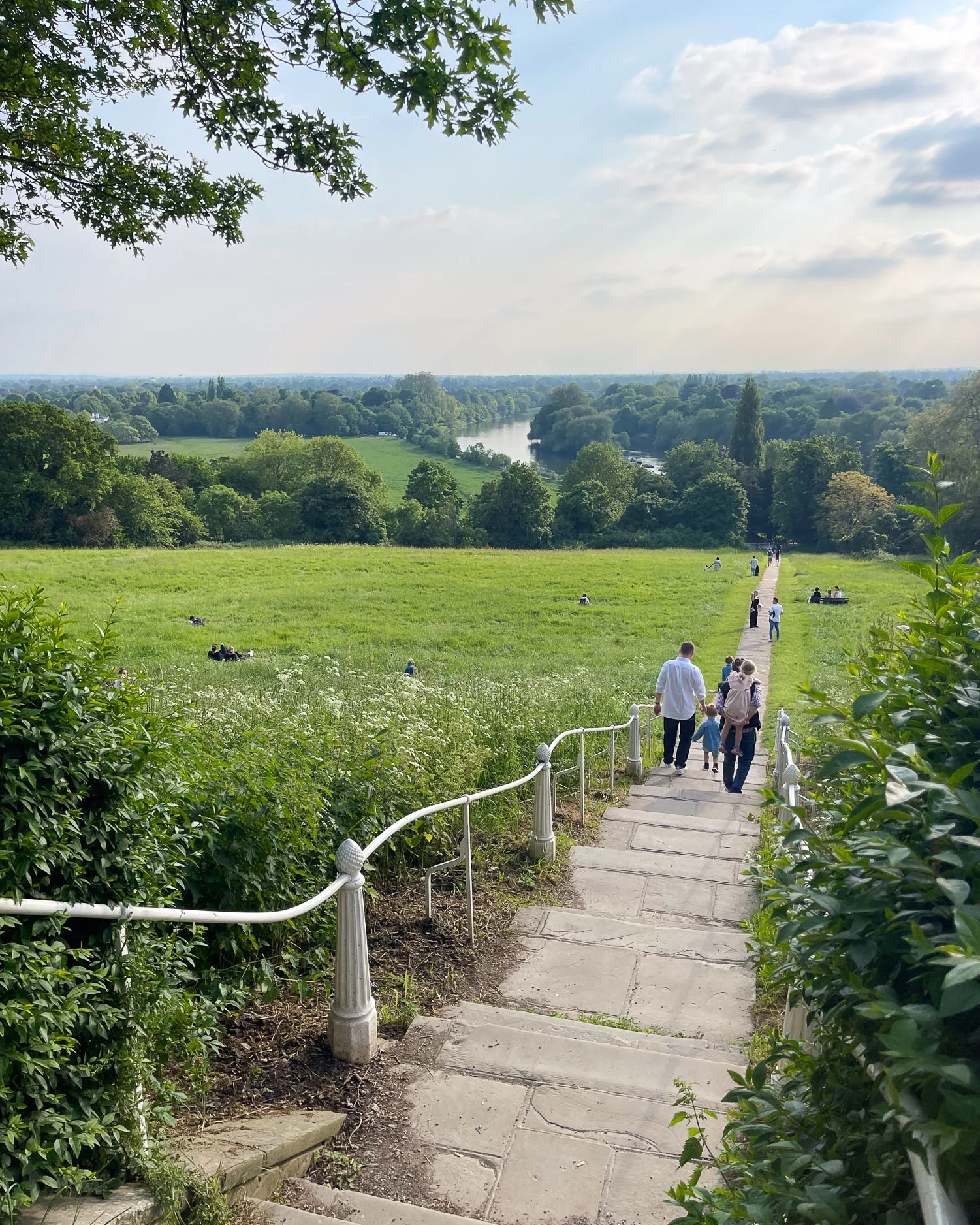
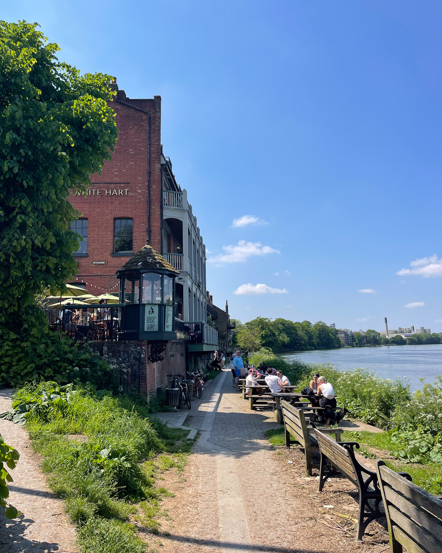
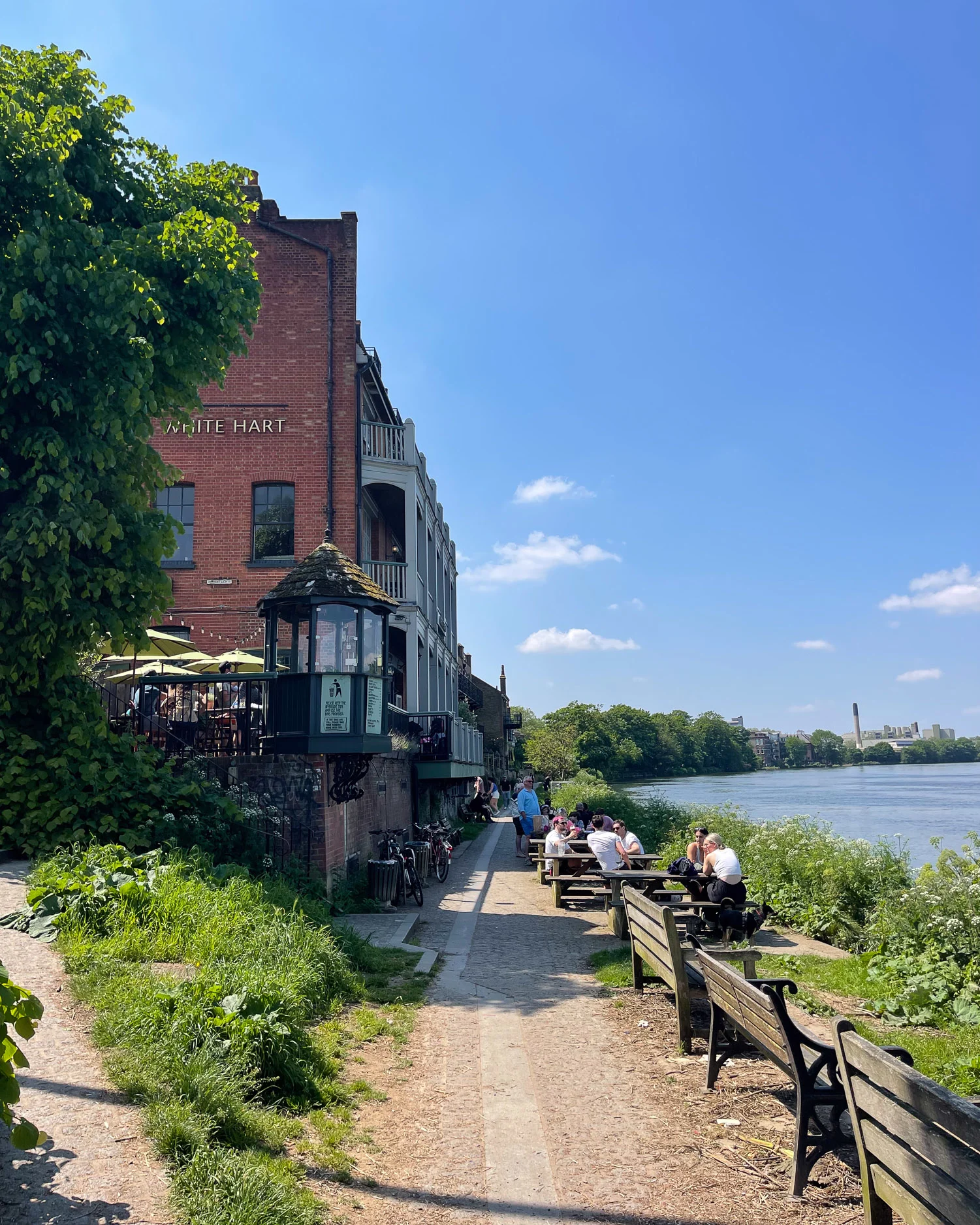
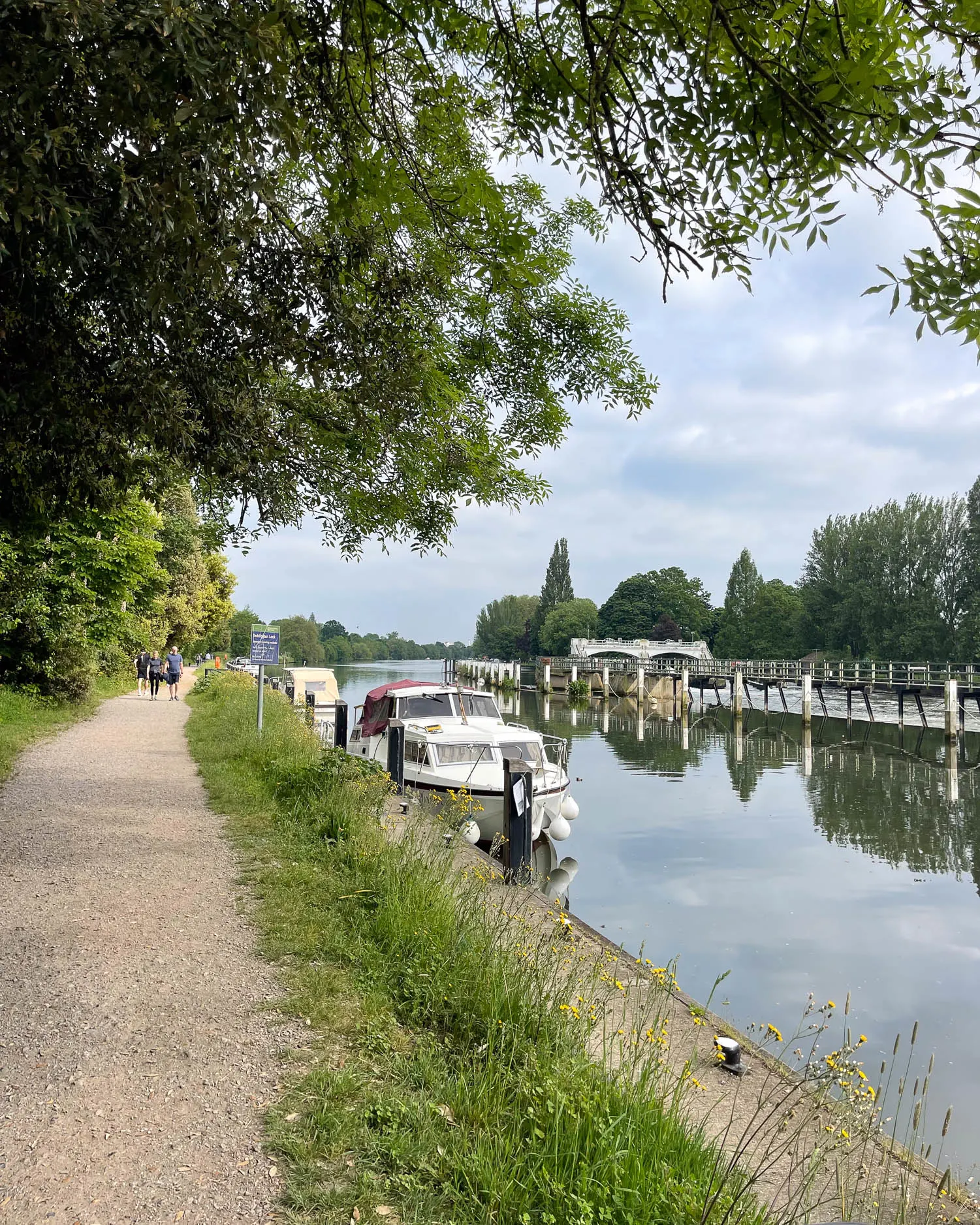
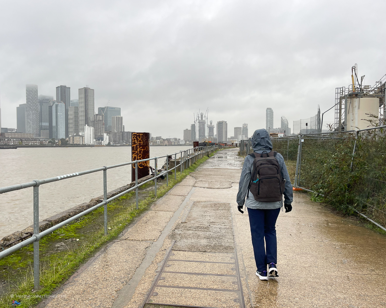
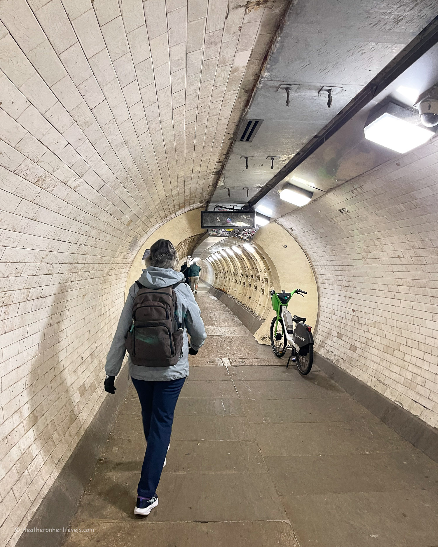
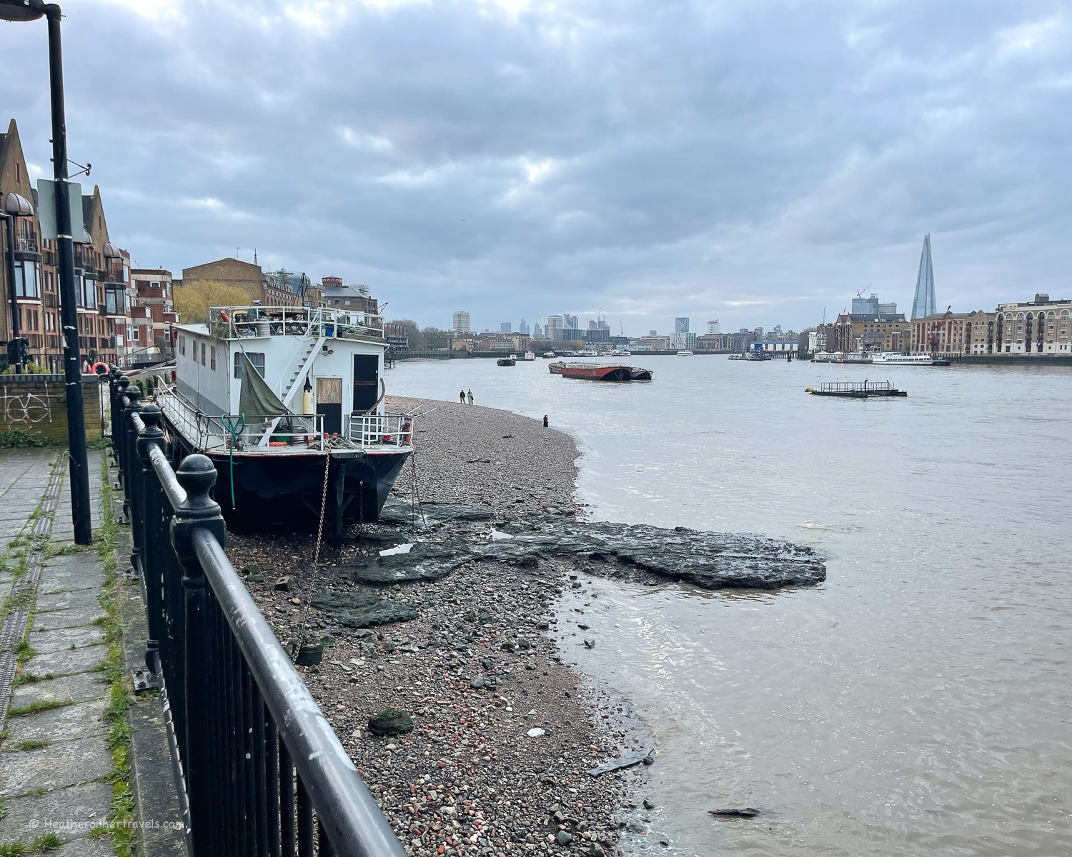
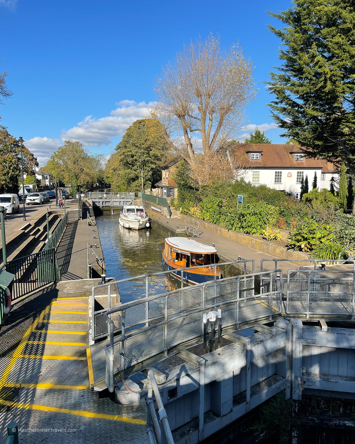
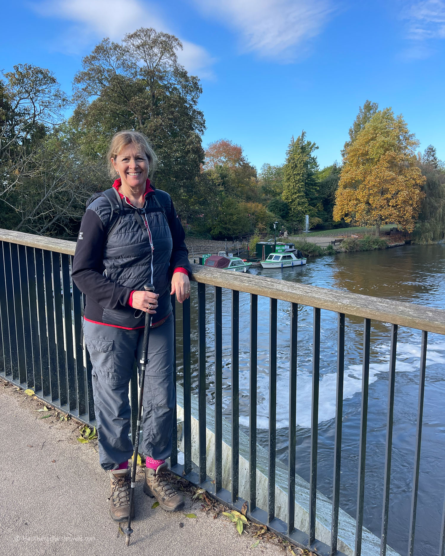
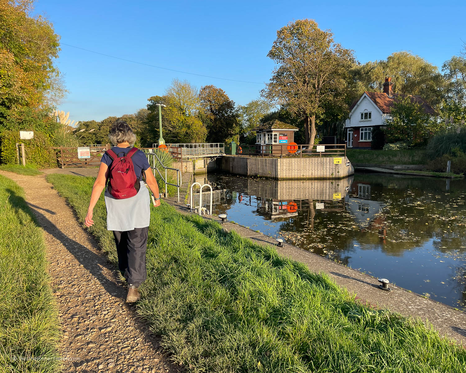
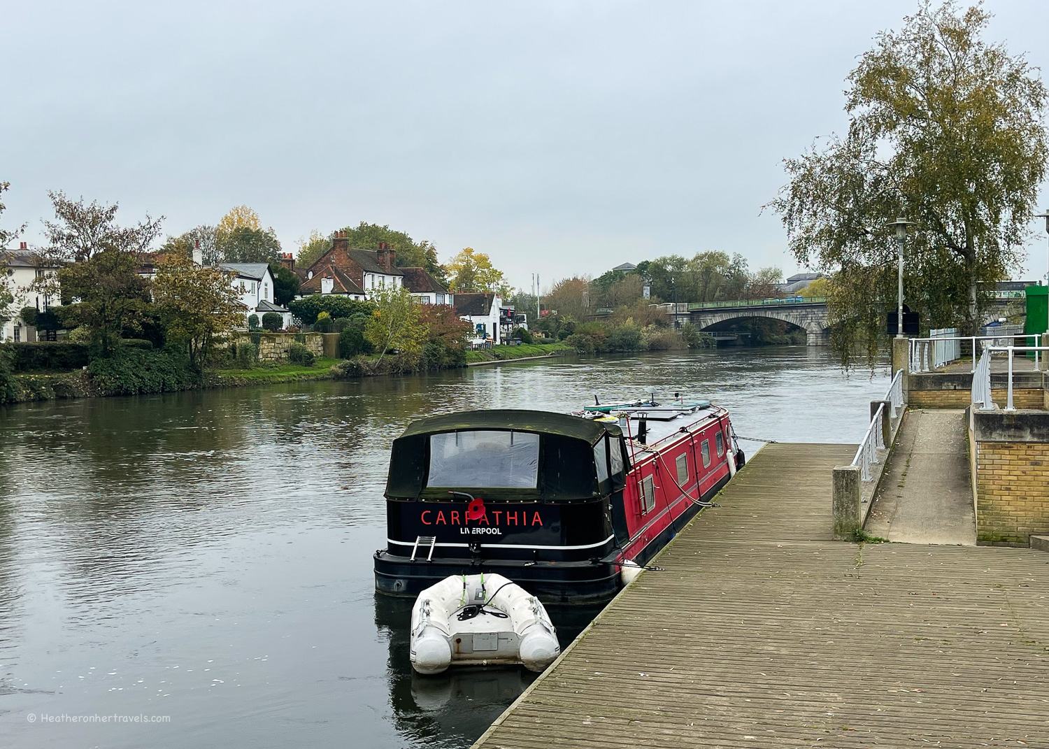
Day 12 – Chertsey to Kingston
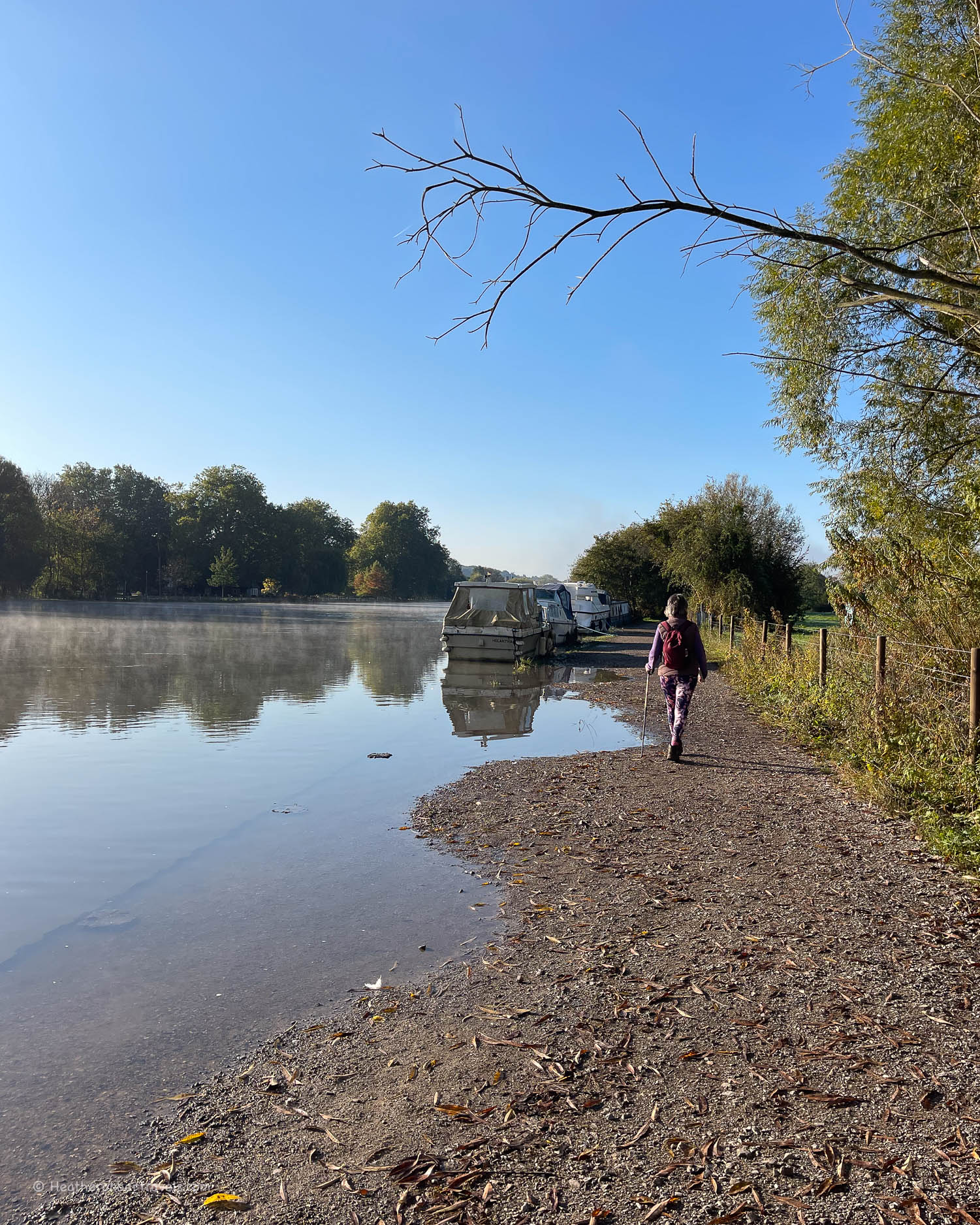
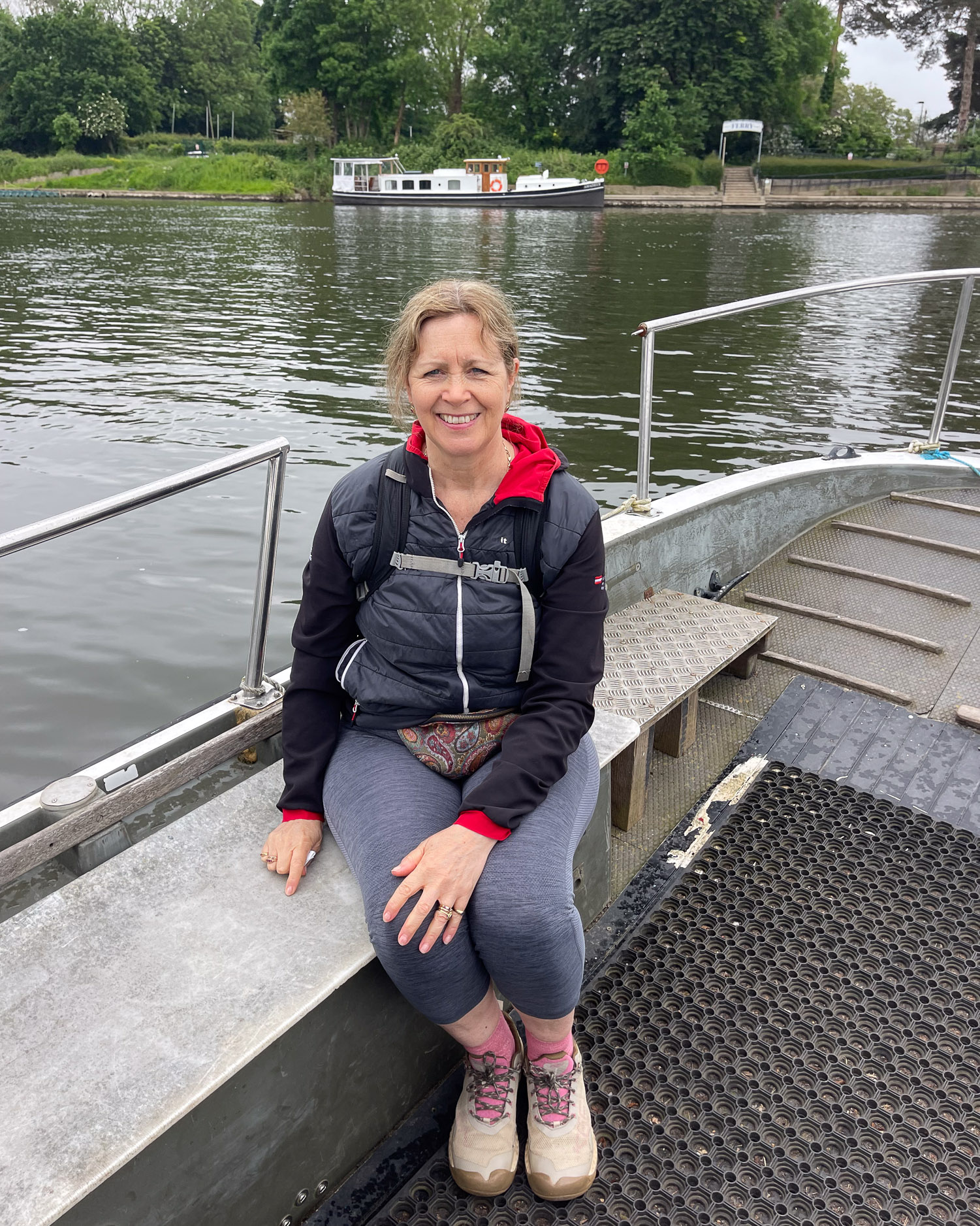
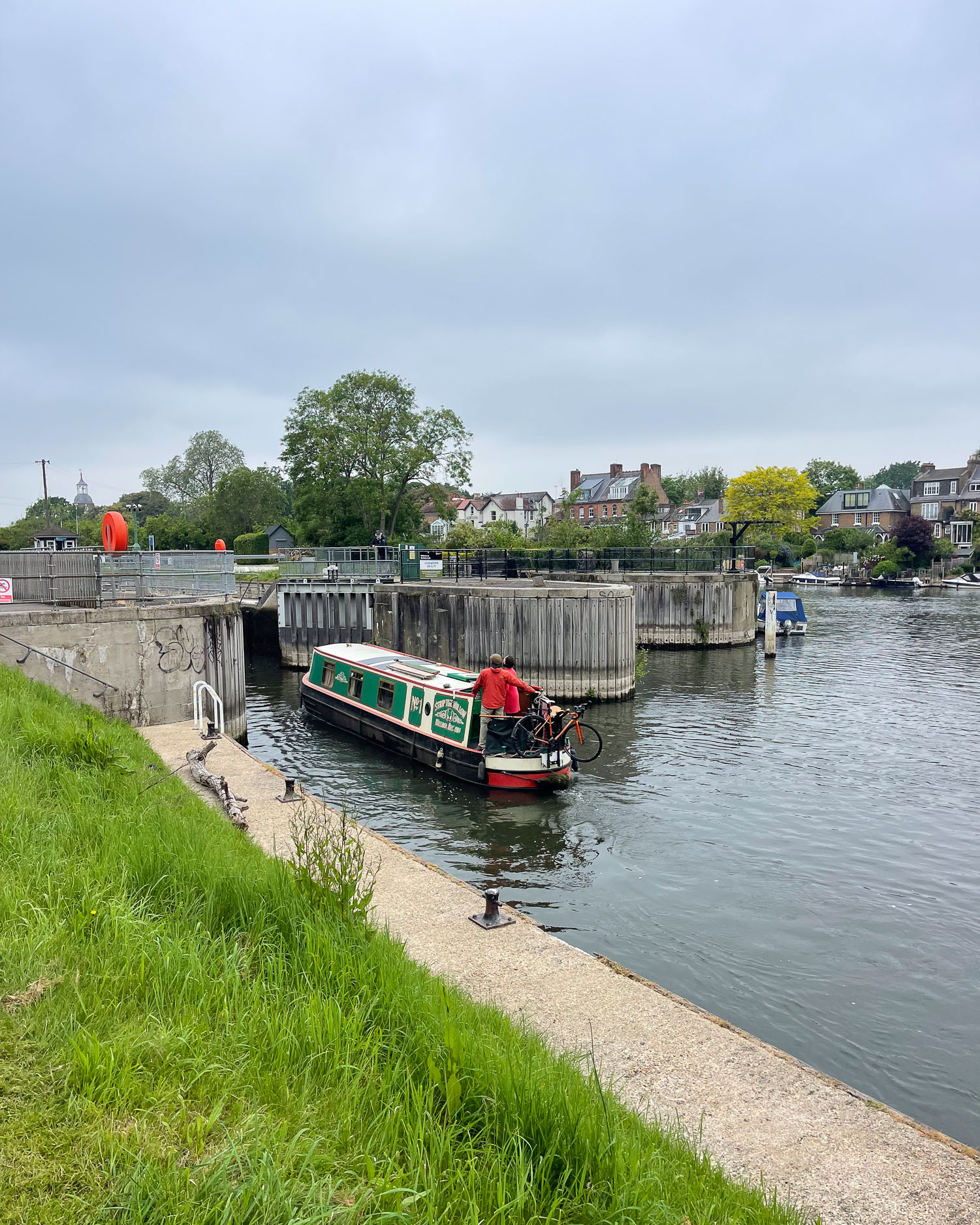
This is one of the prettiest stretches of the Thames, a blend of suburban and countryside, before the scenery starts to become more built up at Kingston. At Shepperton several branches of the river converge, with a seasonal ferry to take you from one bank to the next.
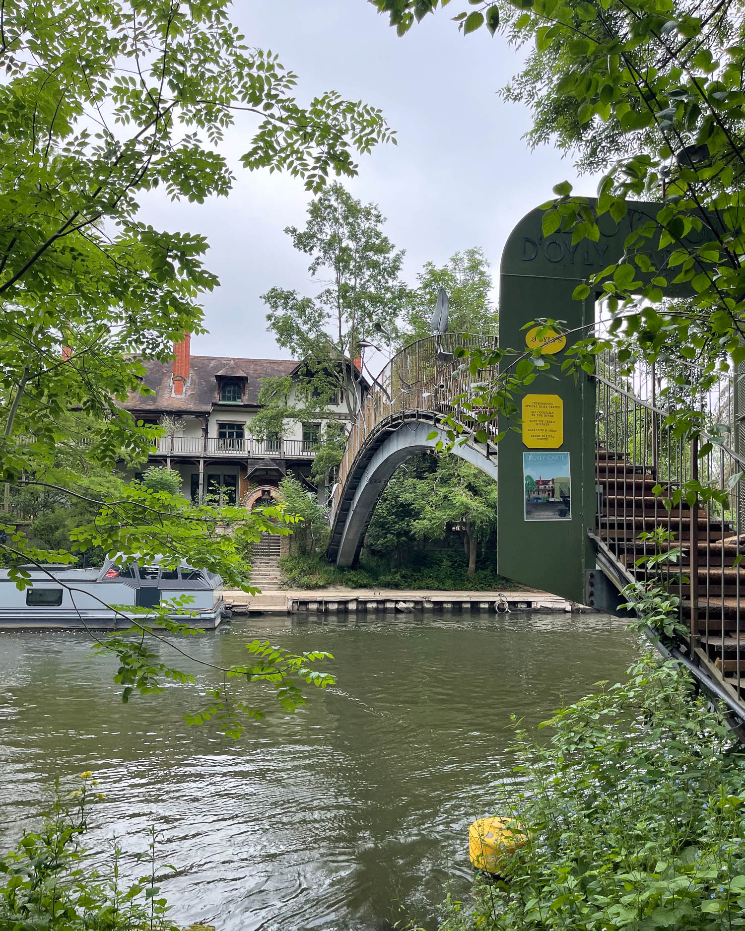
Between the tree lined banks, is the D’Oyly Carte Island, once the home to the manager of the D’Oyly Carte Opera Company, where you can take tea by the river surrounded by willows.
I can remember performing in a school performance of the Gilbert and Sullivan operetta, The Mikado which was first staged by the D’Oyly Carte Company. “On a tree by the river a little tom tit sang willow, tit willow, tit willow” – perhaps inspired by this very location.

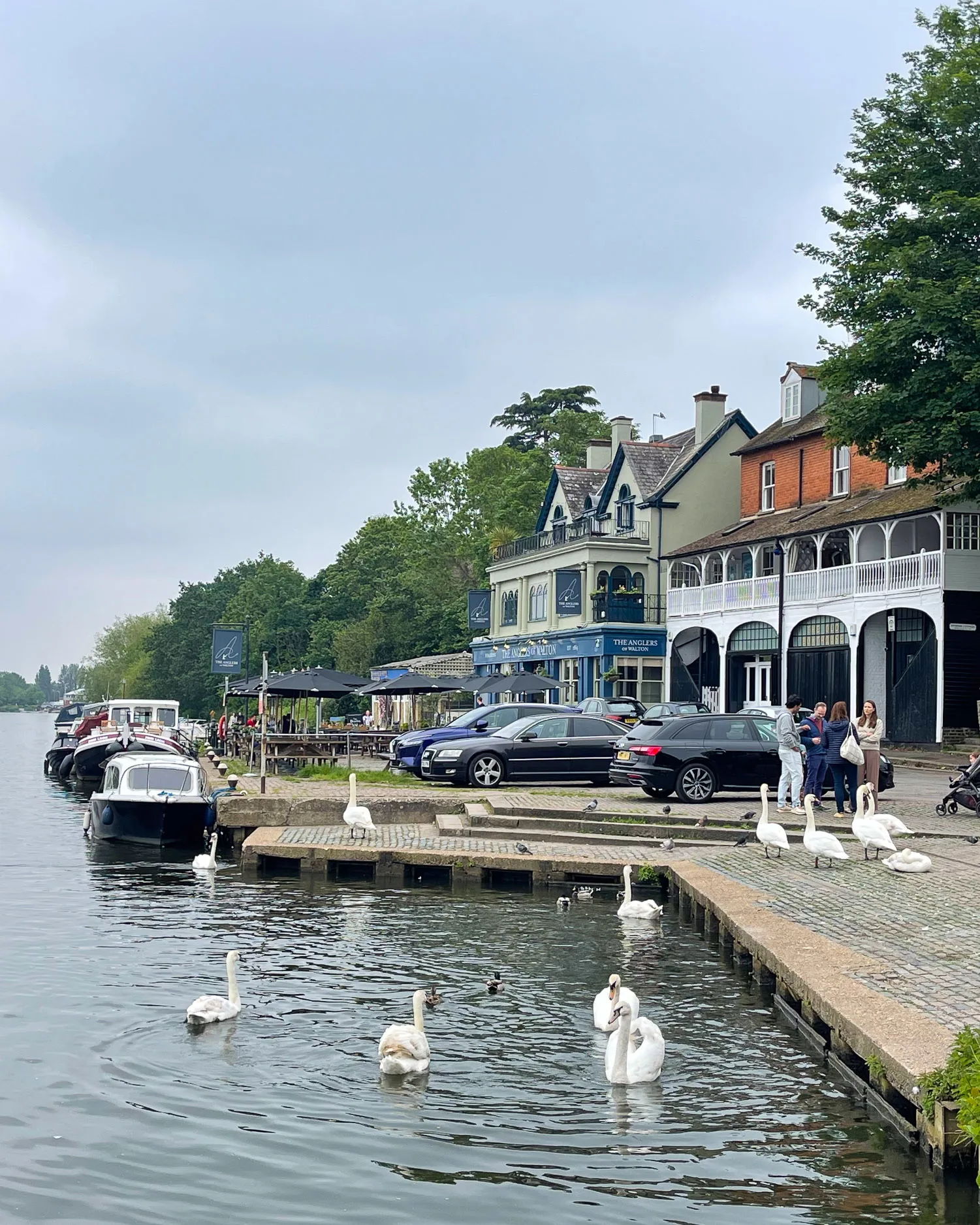
Passing the modern Walton Bridge brings you to the old ferry point of Walton Wharf with its two riverside pubs. The straight ‘Walton mile’ of river was used for Regattas in the late 19th century.
At Sunbury Lock a large island conceals the opposite bank and there is a seasonal ferry. Large reservoirs are so well concealed by high banks beside the towpath that you’ve really no idea that they are there.

Hampton
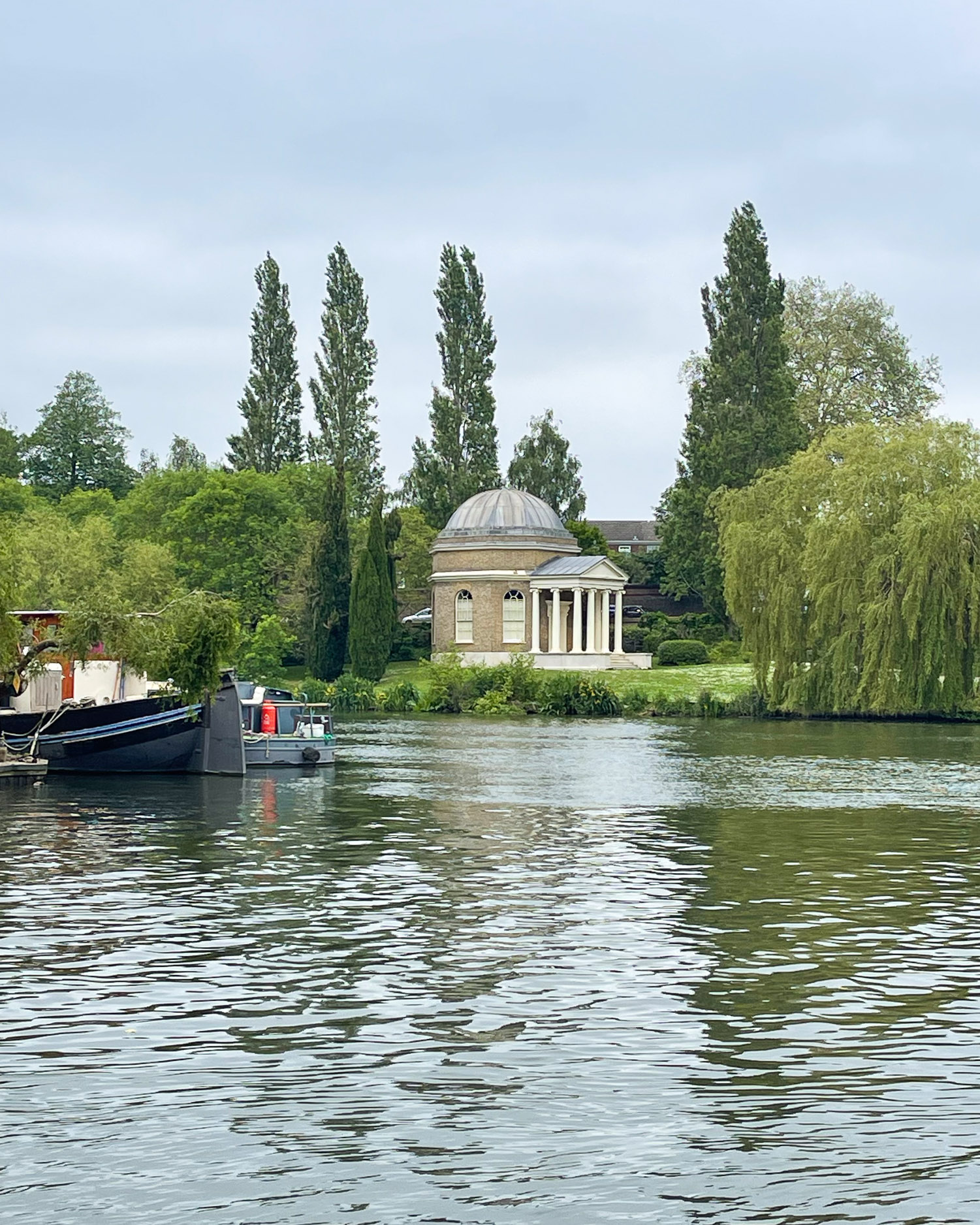
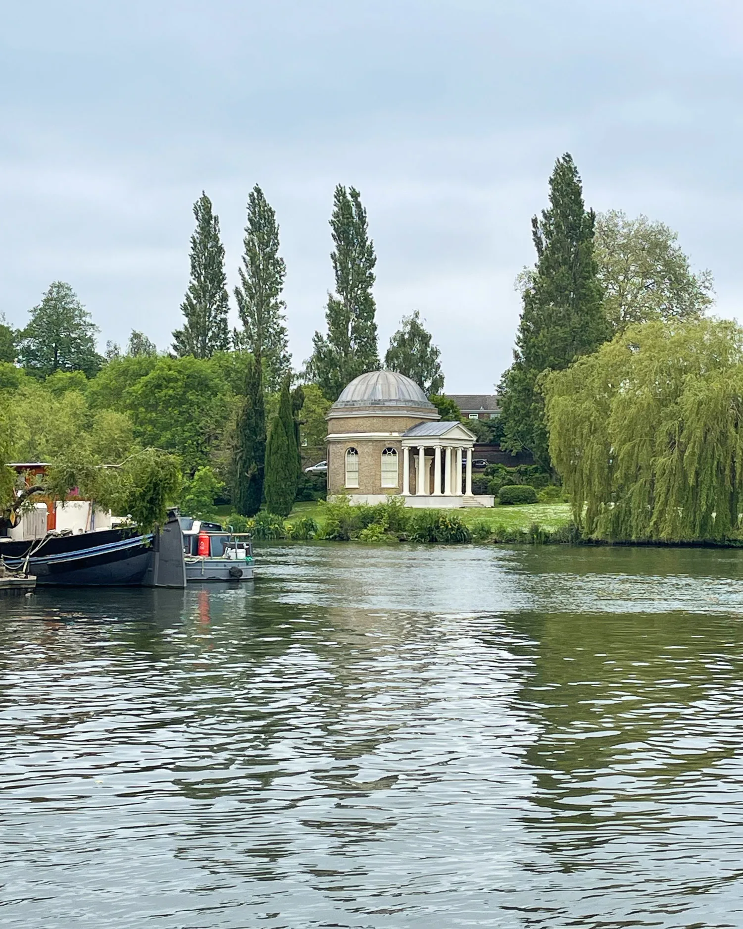
At Hampton, a pretty view across the river opens up, towards the church tower and the domed “Garrick’s Temple”. It was built for the Shakespearean 18th century actor Richard Garrick, who lived in the house behind it.
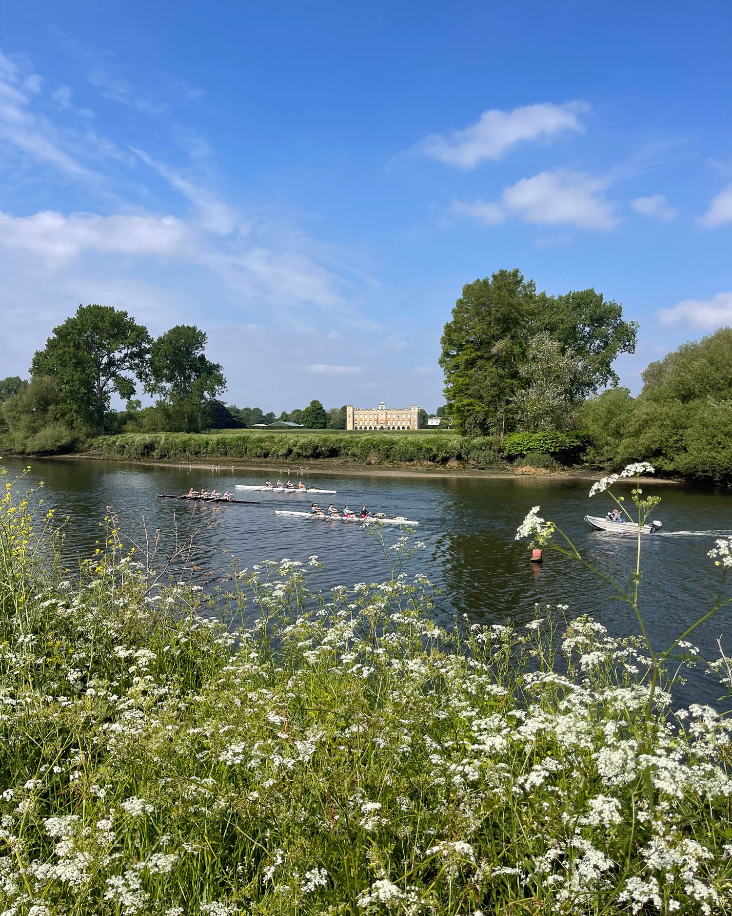
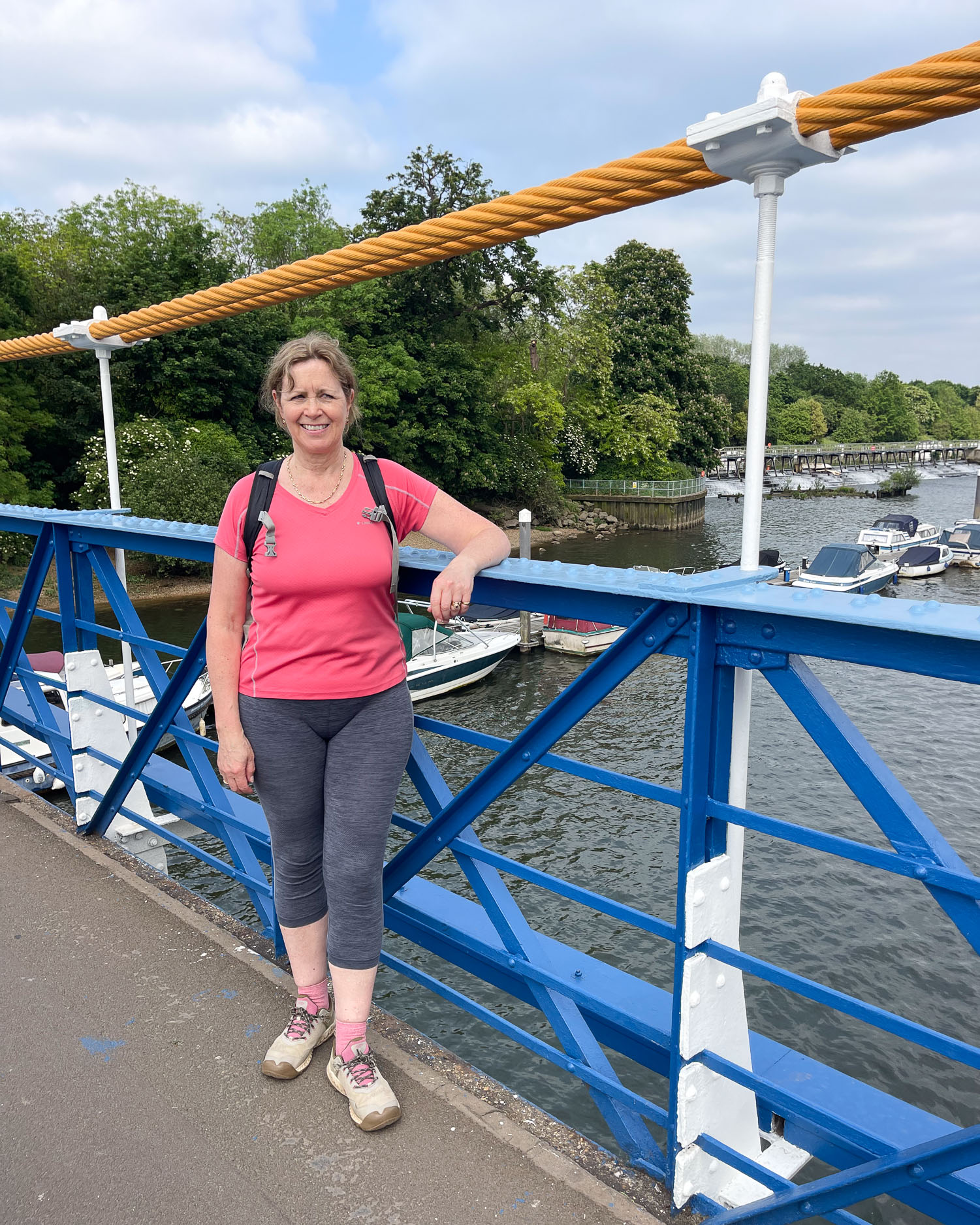
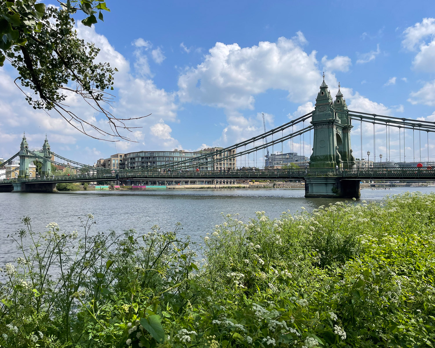
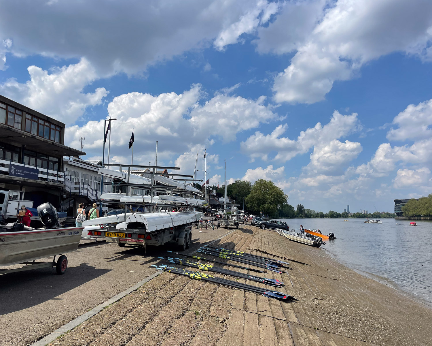
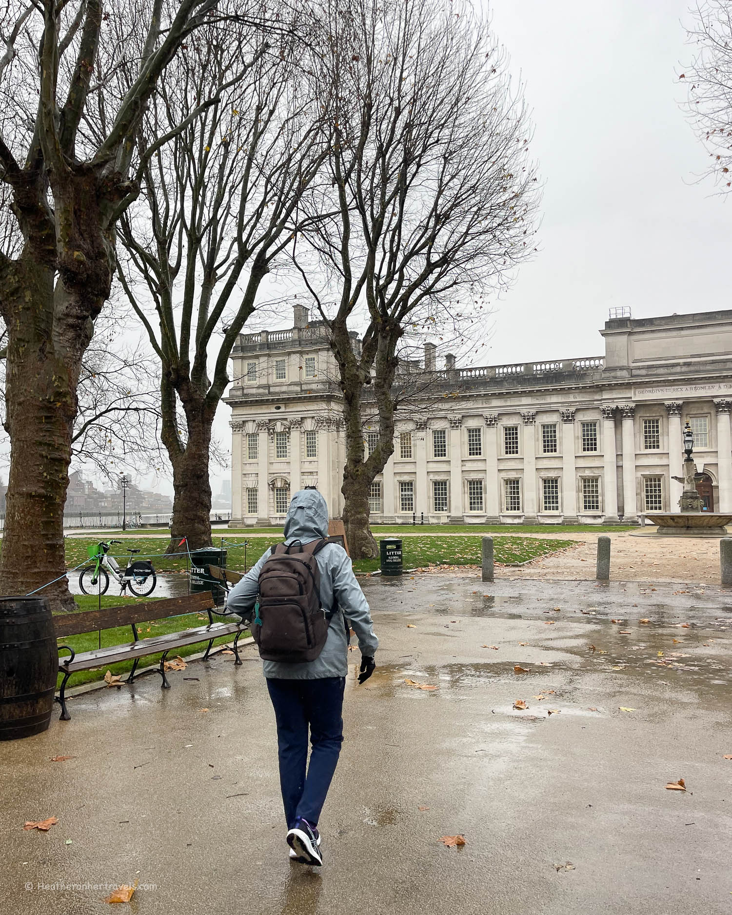
By Molesey Lock you’ll pass rowing club boat houses and it’s time to cross the river at Hampton Court Bridge, leading to the Tudor palace set in its park.
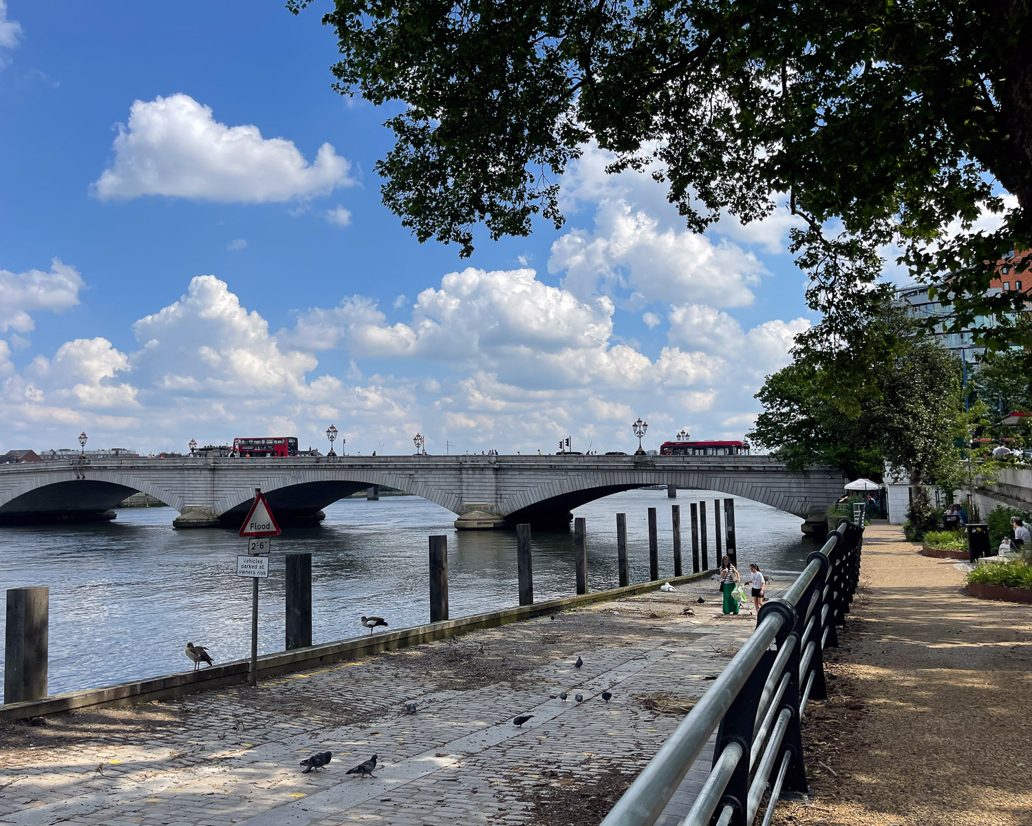
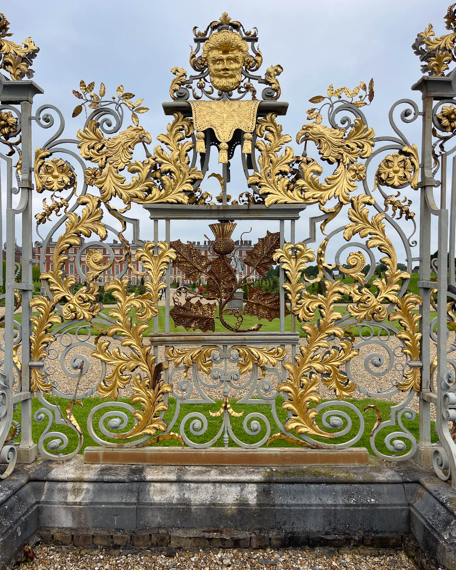
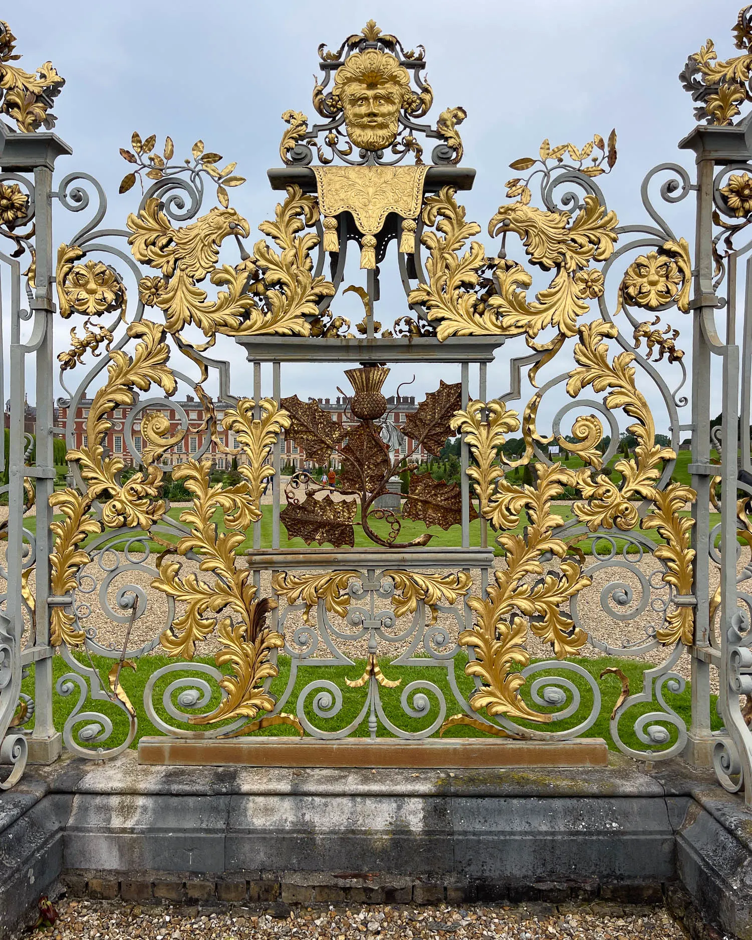
There’s just a glimpse of Hampton Court Palace through ornate gilded gates, before the towpath follows the bend in the river alongside the palace’s park, to Kingston Bridge, where this stage ends.
Day 12 – Distance and timings
Chertsey to Kingston is aprox 11 miles / 17.7 km. Allow around 5 hours plus stopping time. If you want to stop at Hampton Court Palace, you could afterwards take the bus to save time, rather than walk to Kingston. Hampton Court Palace is a major attraction that will easily take several hours to see properly.
Day 12 – Where to stay

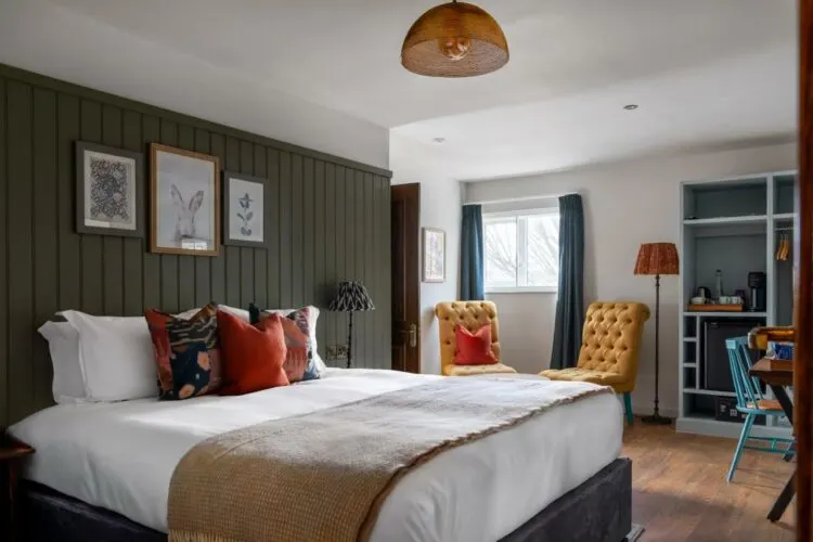
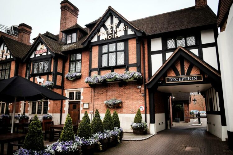
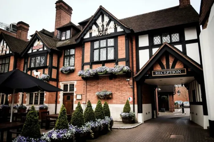
The White Hart Hotel is on the Hampton Wick side of Kingston Bridge, or walk into Kingston Town for other budget hotel options
Day 12 – Where to eat
There are numerous attractive stops for food and drink along this stretch of the river including:
Shepperton Lock – The Ferry Coffee Shop at the ferry crossing on the north bank. On the south bank is D’Oyly’s, a cafe with outdoor seating overlooking the river, on the D’Oyly Carte Island which is accessed by a foot bridge.
Walton on Thames – at Walton Wharf, The Anglers and The Swan are busy pubs serving food, with decks overlooking the river. You can also find shops for picnic provisions, including a Sainsbury’s supermarket, in Walton on Thames village.

Hampton Court – there are numerous pubs and restaurants on the south bank near the bridge and the Mezzet Box is a small outdoor cafe right by the river, tucked next to the bridge.
Kingston – There are numerous restaurants and cafes on the south bank of the river, when you cross Kingston Bridge and plenty of shops, including a Waitrose supermarket, in Kingston Town Centre.
Day 12 – Transport for this stage
There is a train station at Chertsey, but it’s quite awkward to get to, so we started our walk at Shepperton Lock instead. On this part of the walk it’s handy to look at the network map for South West Railway, to easily work out the train connections.
We took the train to Shepperton station and walked 30 mins to Shepperton Lock, where the Nauticalia pedestrian ferry takes you across the river from the north to the south bank. The ferry runs daily in summer and weekends in winter, check the timetable here.
An alternative station on this leg of the walk is at Hampton Court Palace. On arrival at Kingston Bridge the nearest stations are Hampton Wick or Kingston. If you are stuck at any point, local buses are often the most direct way to get around. We recommend the TFL Go app to plan bus and train routes in and around London.
More articles about the Thames Path National Trail
I’ll be publishing more articles in this Thames Path series very soon. In the meantime, if you have questions about our walk on the Thames Path National Trail, feel free to email me at heather(at)heatheronhertravels(dot)com
Resources for hiking the Thames Path National Trail
Train bookings – to get you to the start and end of this section of the walk, we recommend Trainline for easy rail bookings.
Book accommodation: to book hotels online and conveniently have all your bookings in once place, we used Booking.com but if you prefer you could also use Expedia.
Guidebook – we used and recommend the Trailblazer Thames Path Guide – this is the one we used and we liked the easy to follow maps and the fact that it’s just as easy to follow for walking in either direction.
The Thames Path National Trail website is a useful source of information about the trail as a whole.

Pin it
This article is originally published at Heatheronhertravels.com