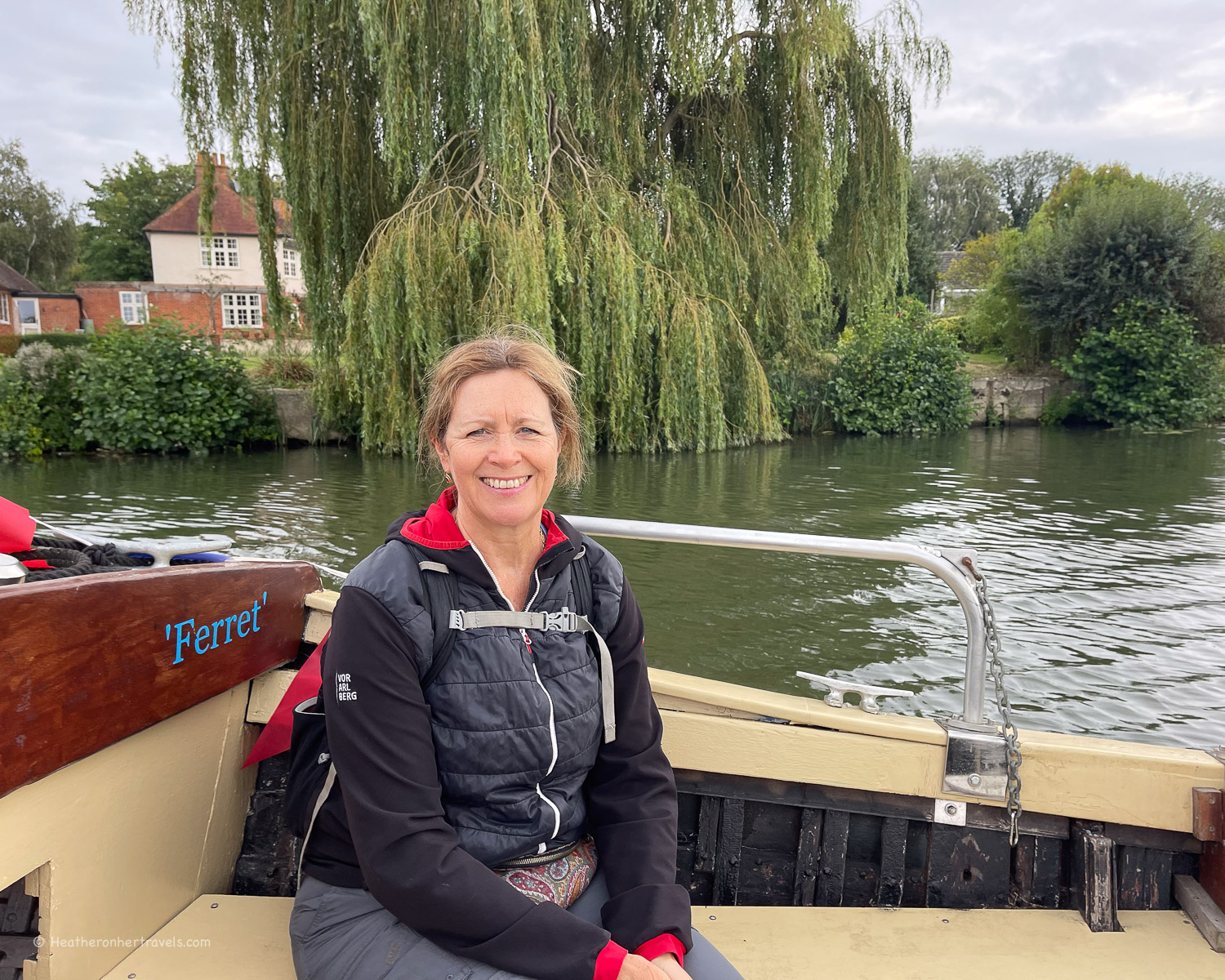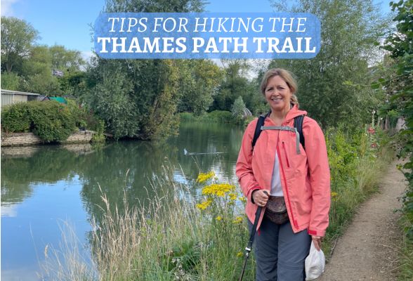
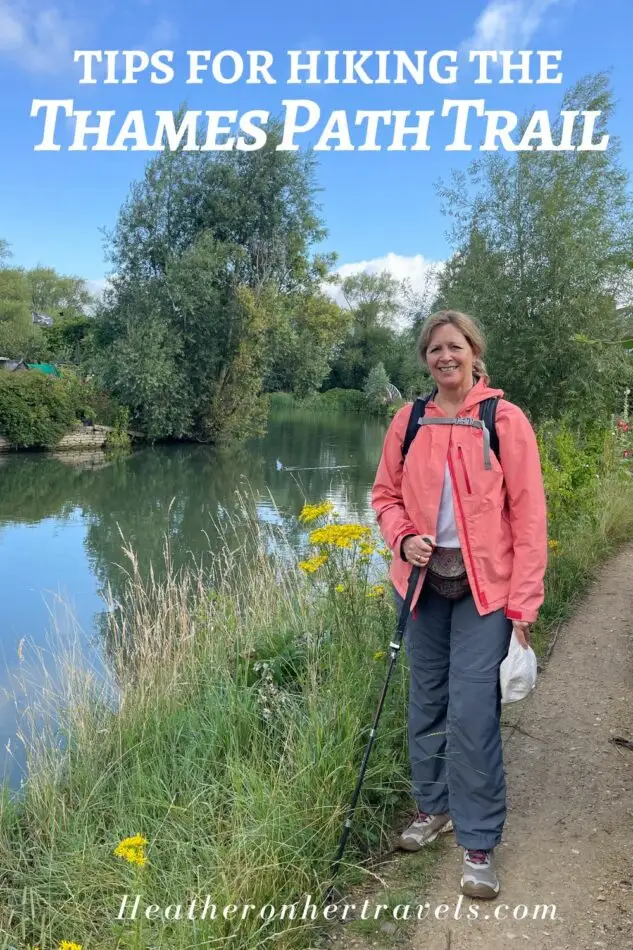
Read our tips for hiking the Thames Path National Trail, a 300km long distance path that runs from the source of the River Thames in Gloucestershire, to the start of the Thames estuary in London. On the way you’ll see the river transition from a muddy puddle, through tranquil water meadows and an ever more urban landscape, until you reach the historic landmarks of London.

How long does it take to walk the Thames Path Trail?
The path is divided into 15 day long stages, which can be walked consecutively or in any order. Some of the days break easily into a couple of shorter half day sections, if you want to add additional rest time or sightseeing stops.
We chose to walk the trail in stages of 1-2 days over the course of a year. If want to walk the whole trail but have limited time, one option is to miss out some of the stages and just walk the parts that interest you most. I think this is better than trying to speed up the walk and then missing the points of interest along the way.
We found the timings and distances in our guidebook to be pretty accurate, but they didn’t allow for any stops, so we normally added 1-1.5 hours to each day. Our average walking speed including all breaks was around 3.4 miles per hour and we normally walked around 6 hours each day.
I’ve broken the trail into 4 separate articles, each covering 3-4 days that could be walked over a long weekend. You can read all the articles below.
What can I expect to see on the Thames Path National Trail?
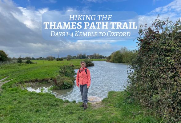
Read about: Source to Oxford – Days 1-4
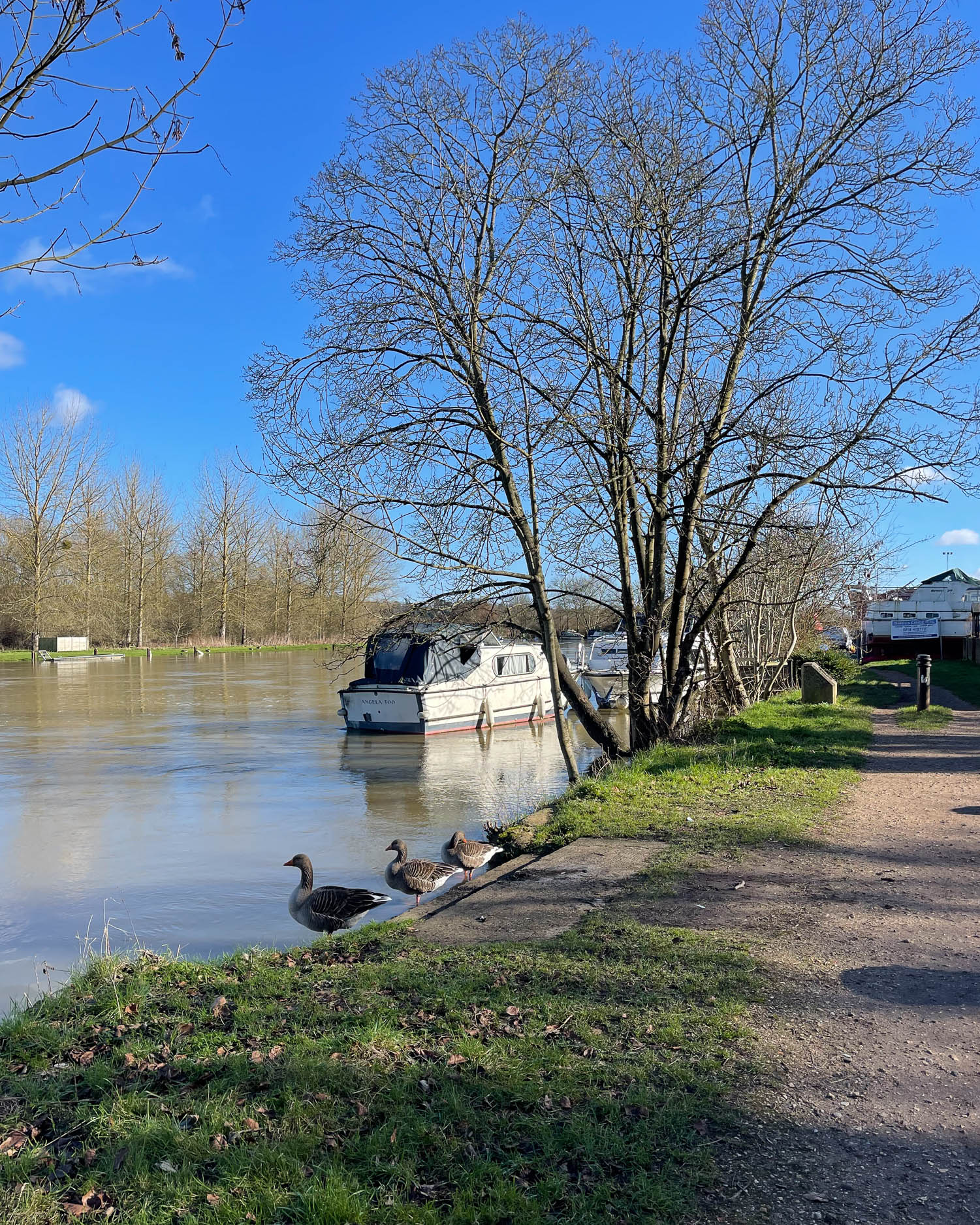
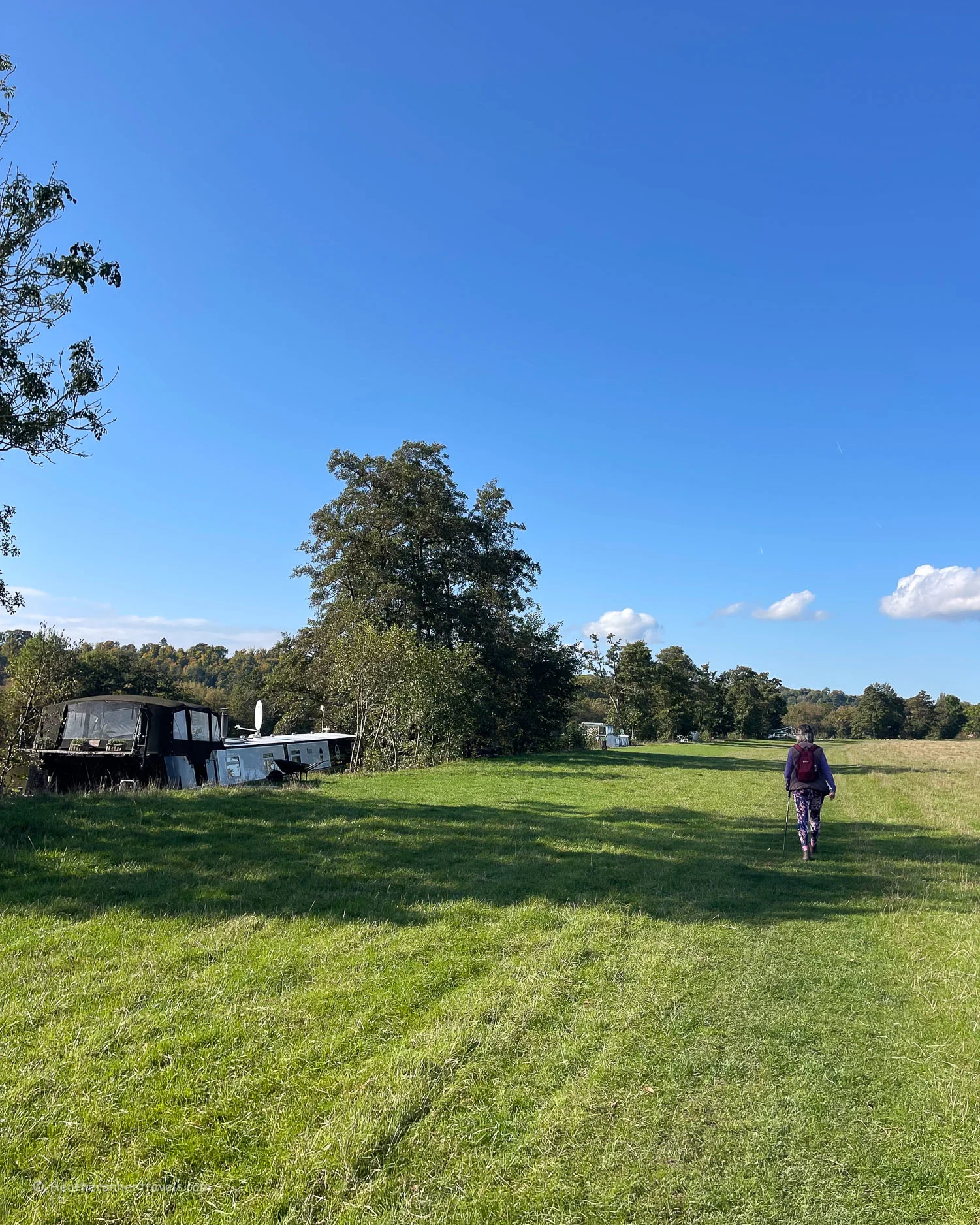
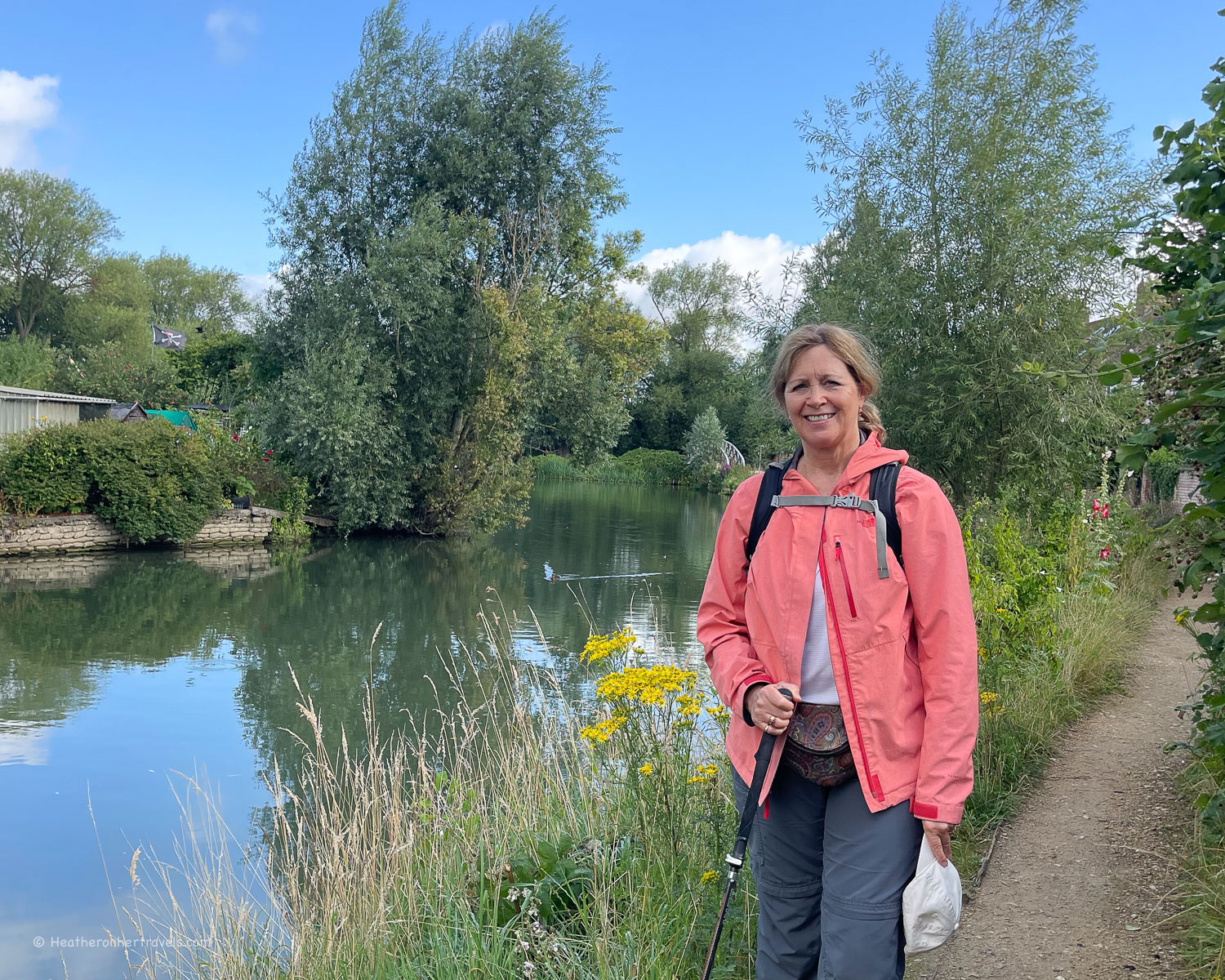
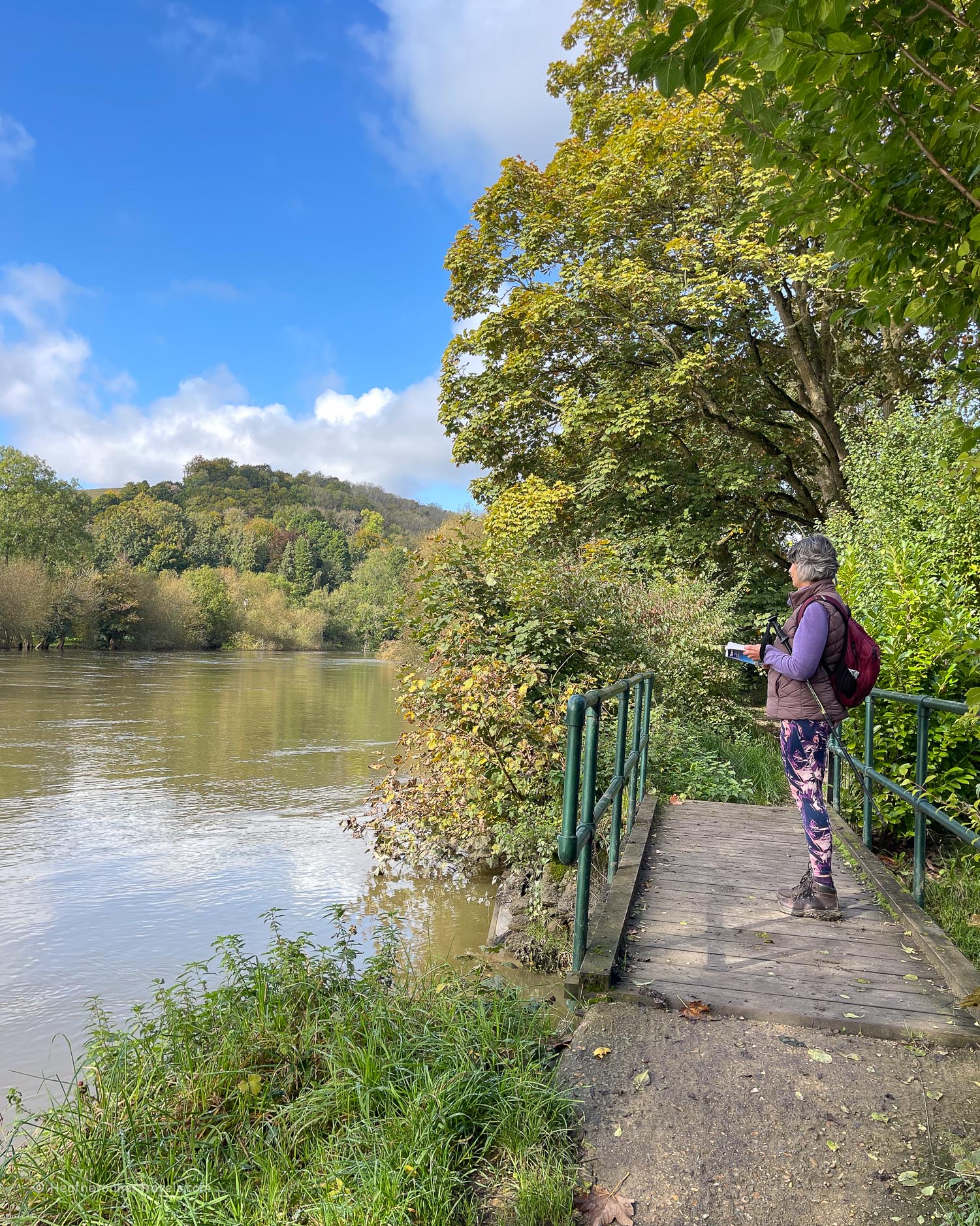
From a trickle of water at its source, the Thames meanders through the Cotswolds in verdant fields and water meadows, transitioning from stream to navigable river. For these first four days, the path offers a taste of English rural life, strolling through fields and small villages.

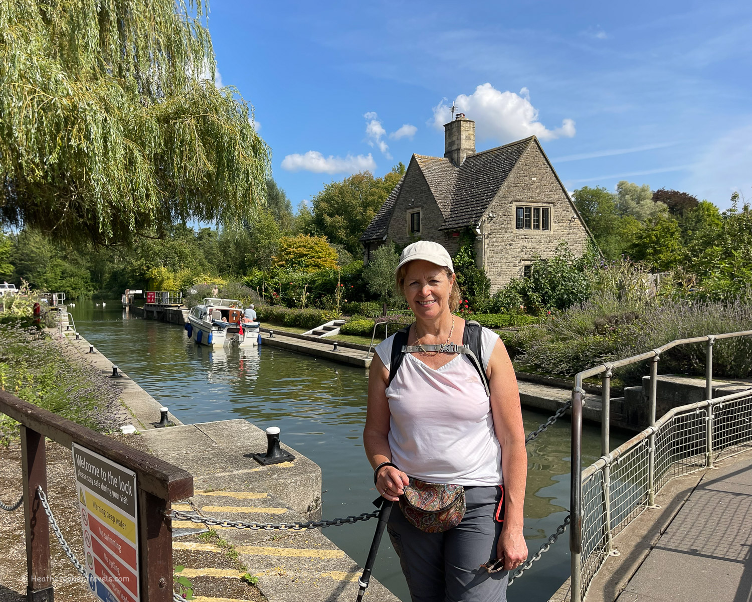
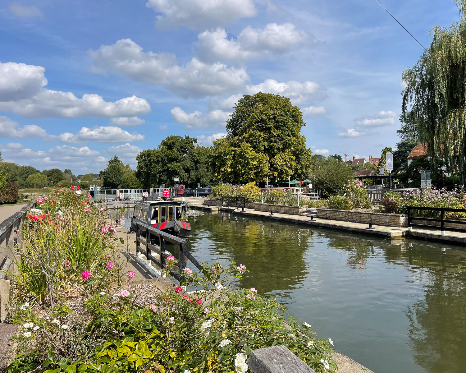
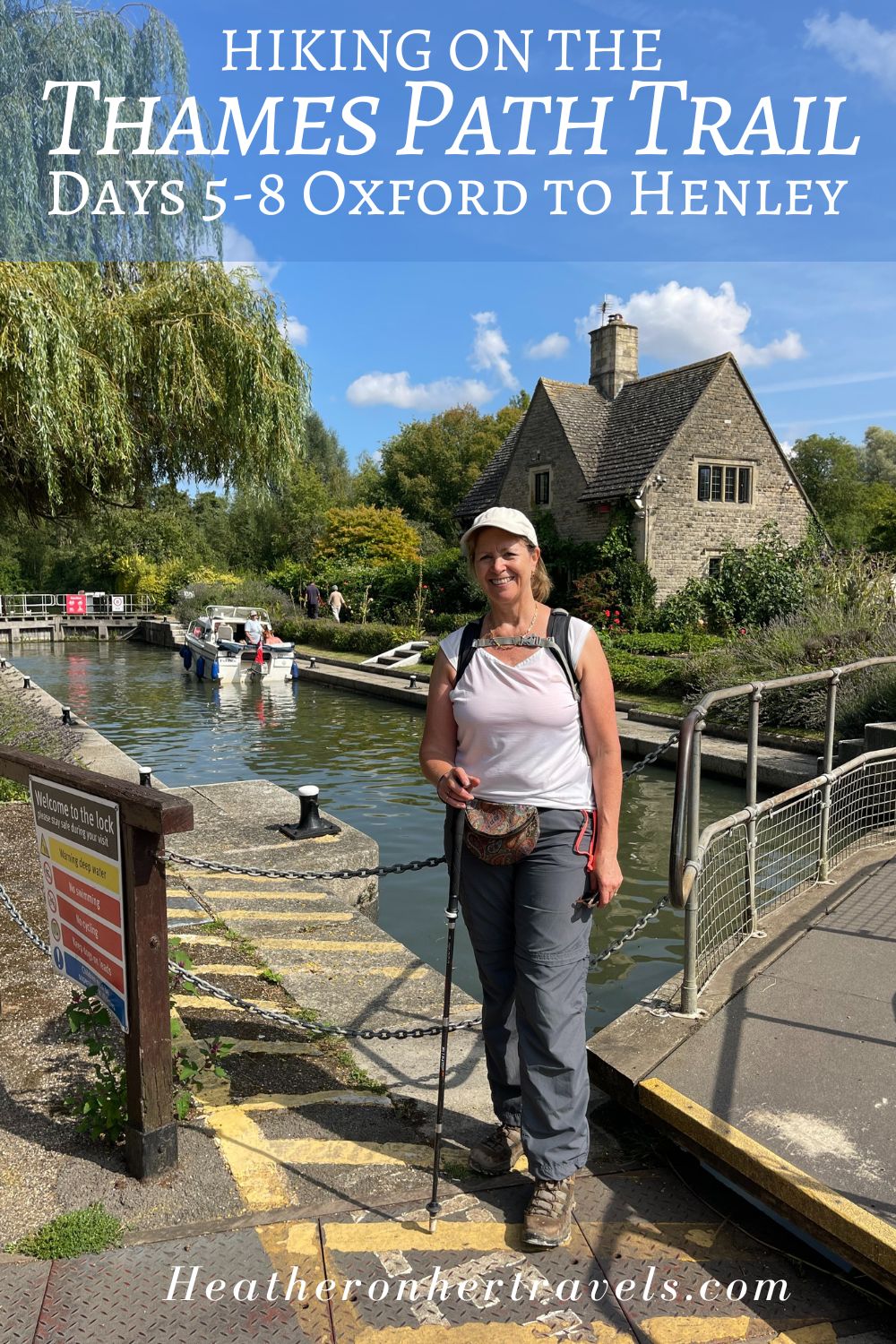
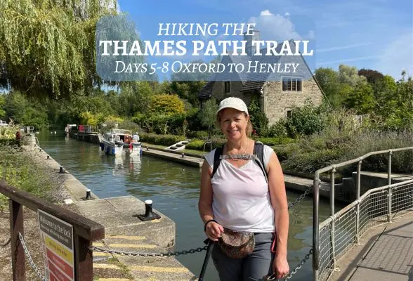
Read about: Oxford to Henley – Days 5-8
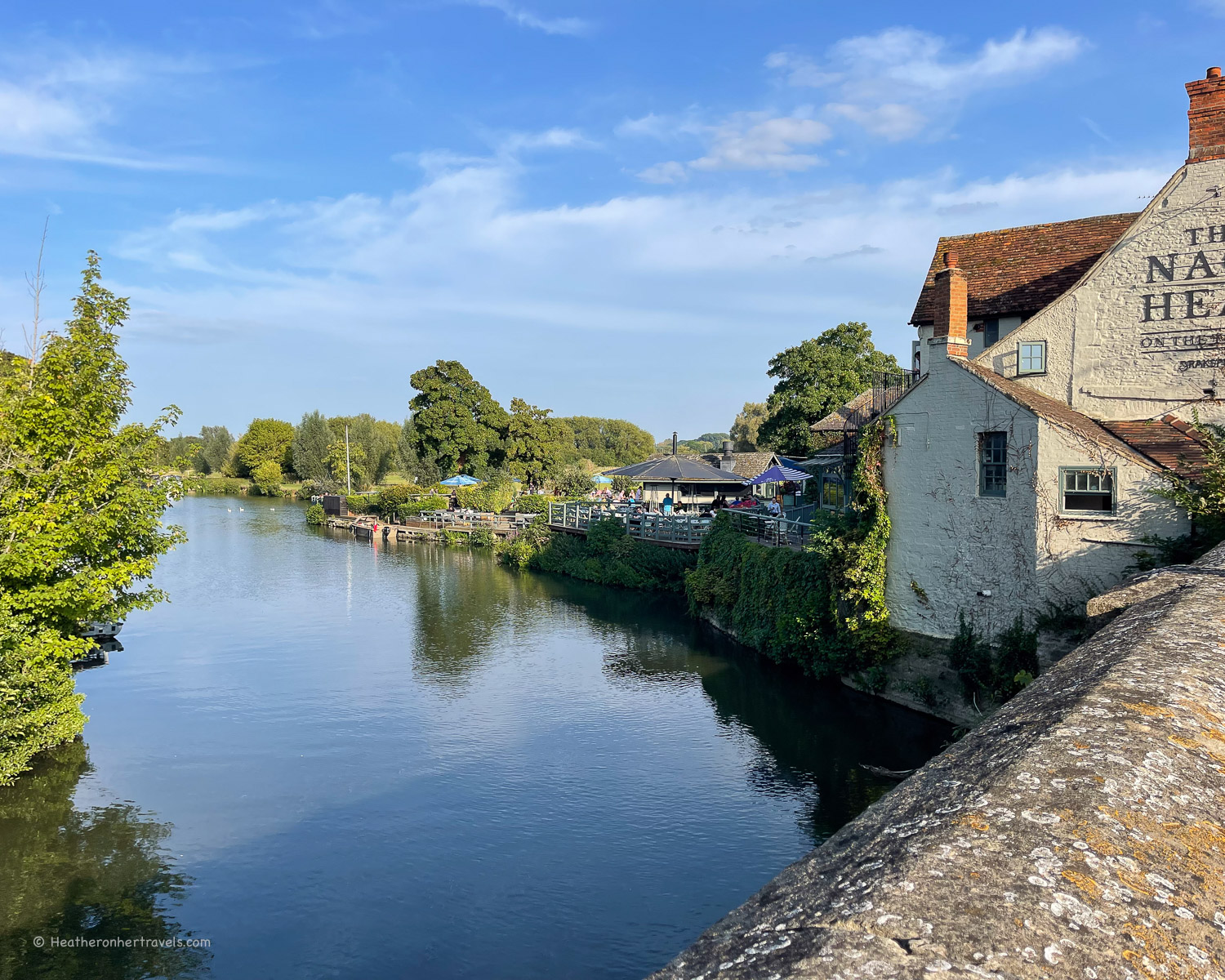
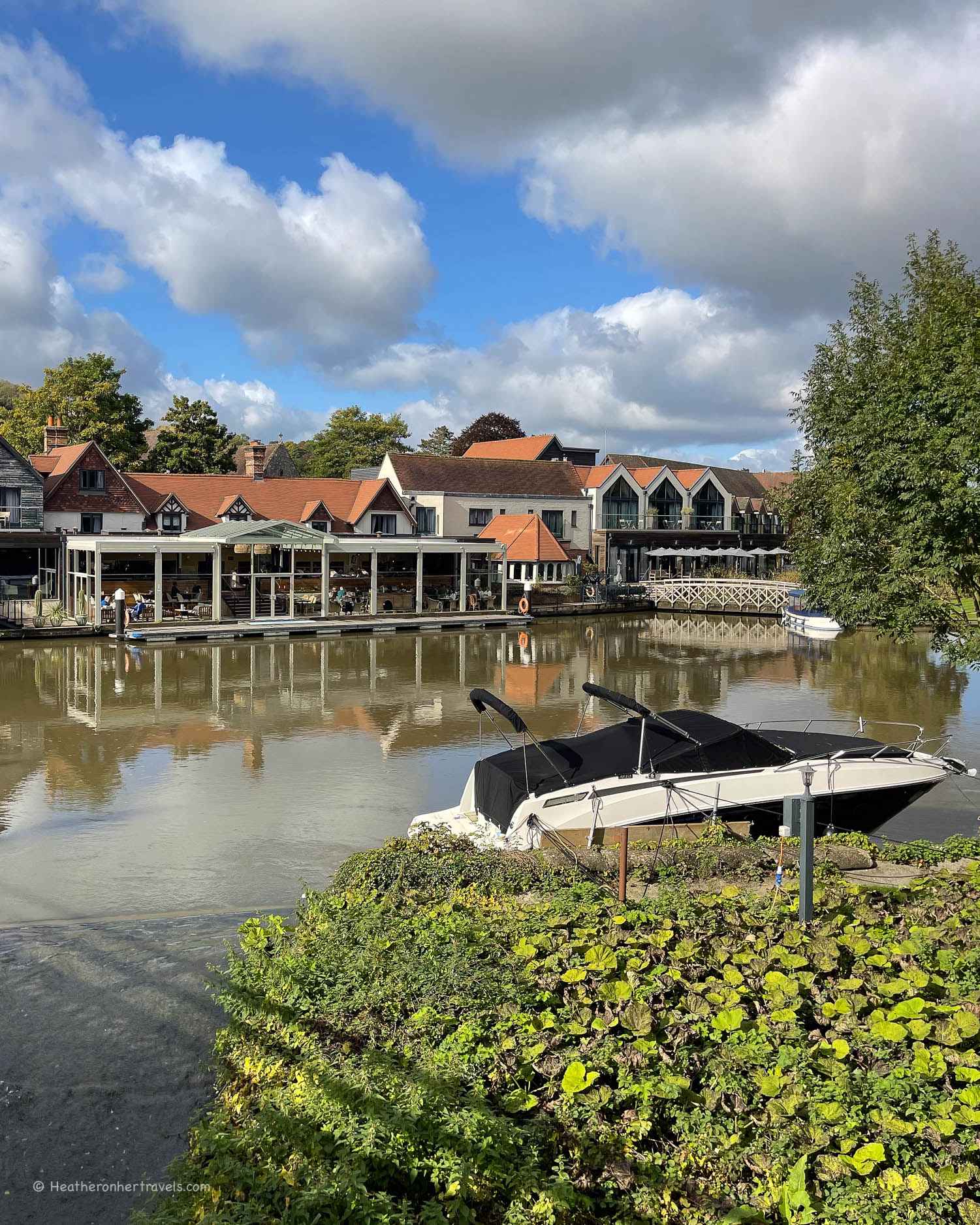
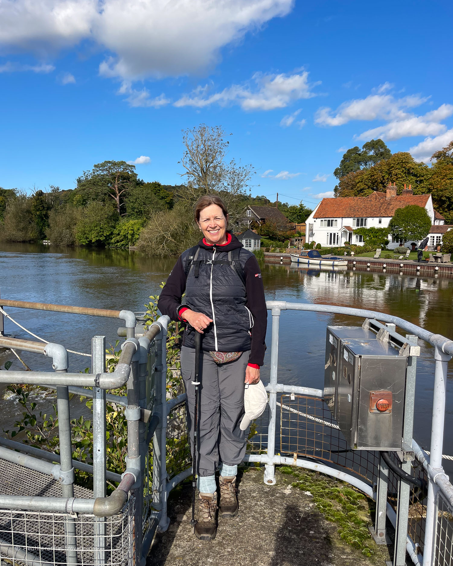
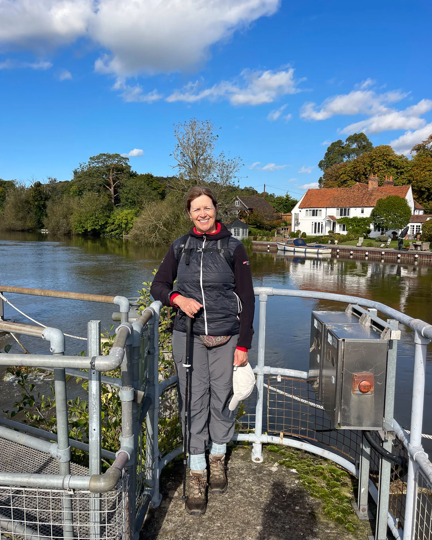
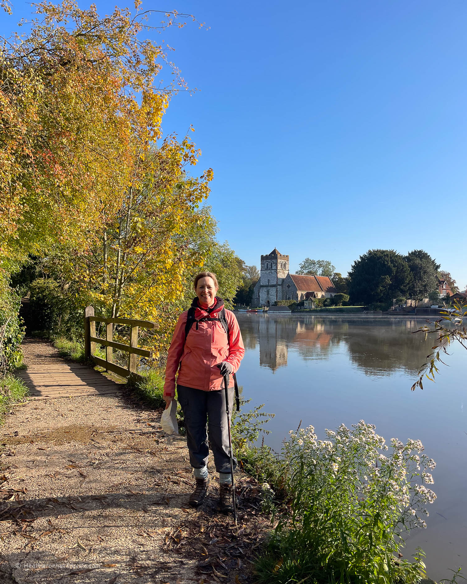
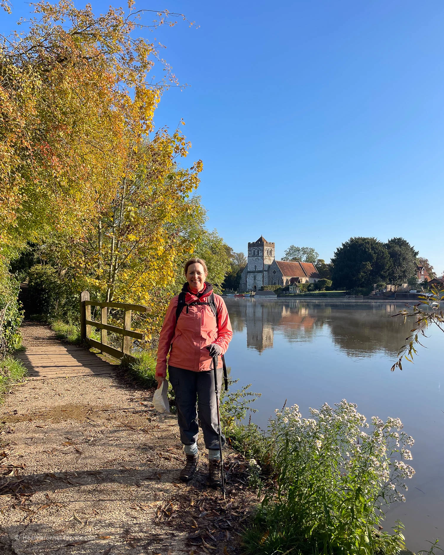
Along this part of the Thames lie charming towns and villages, that prospered from trade flowing down the river, transporting goods from the Cotswolds to London.
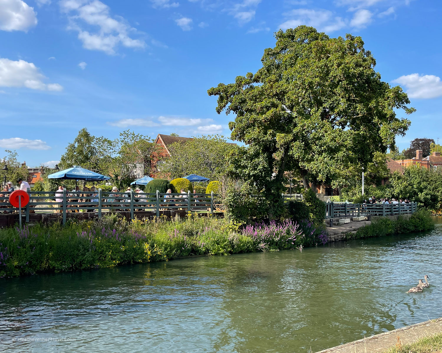
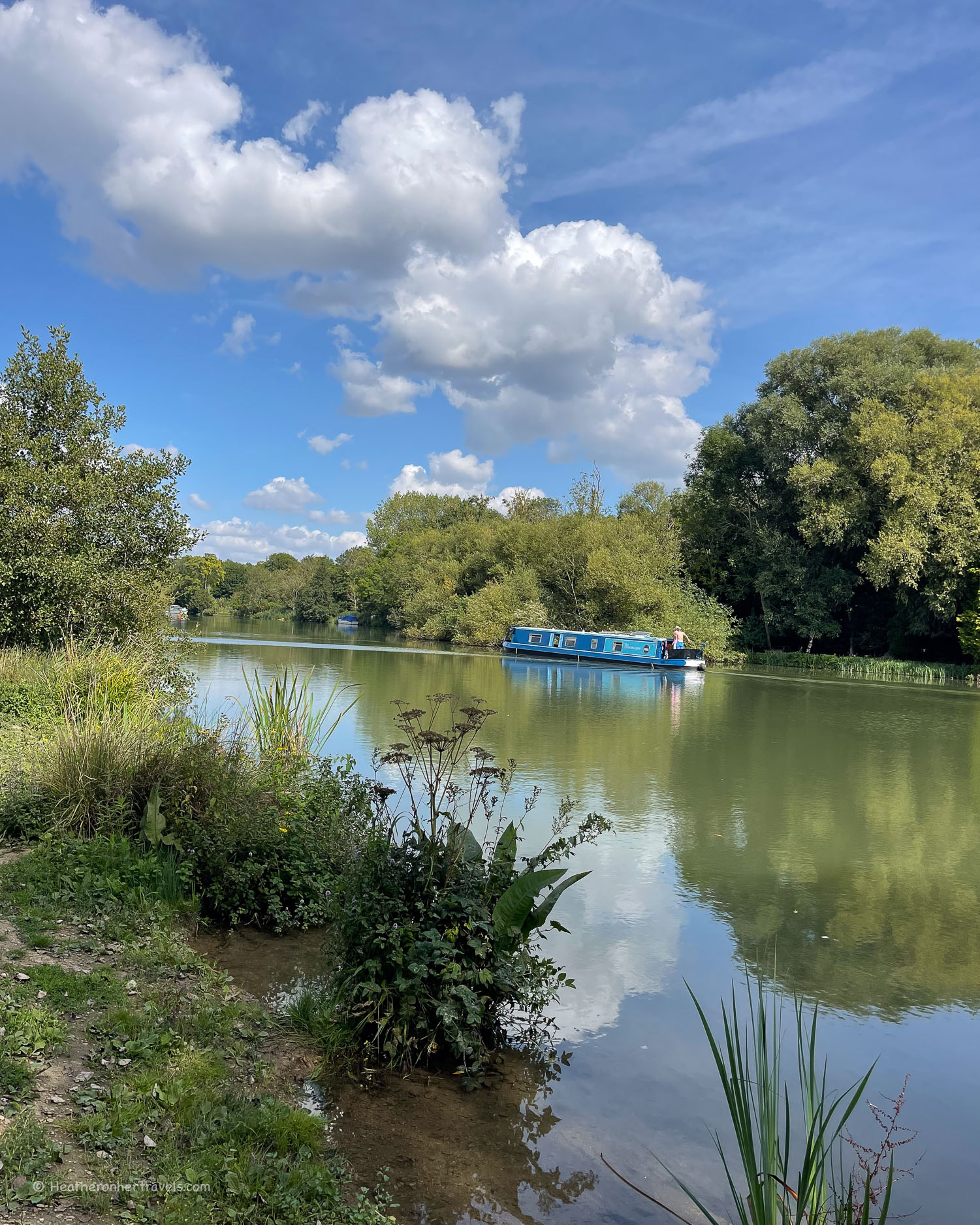
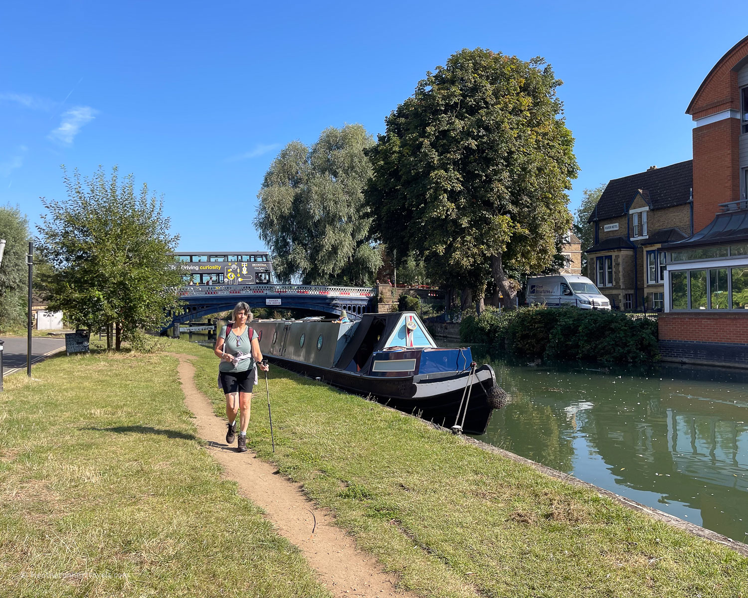
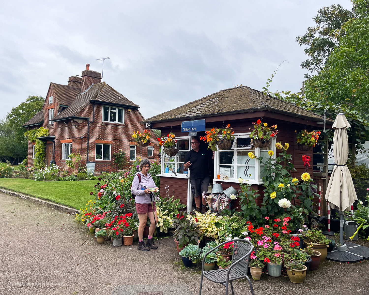
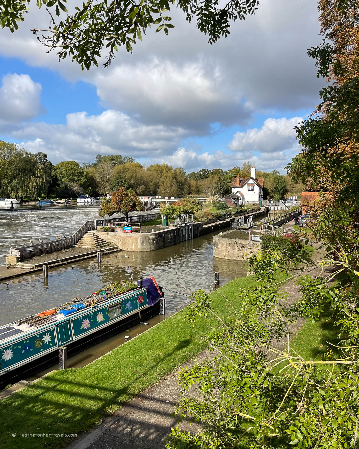
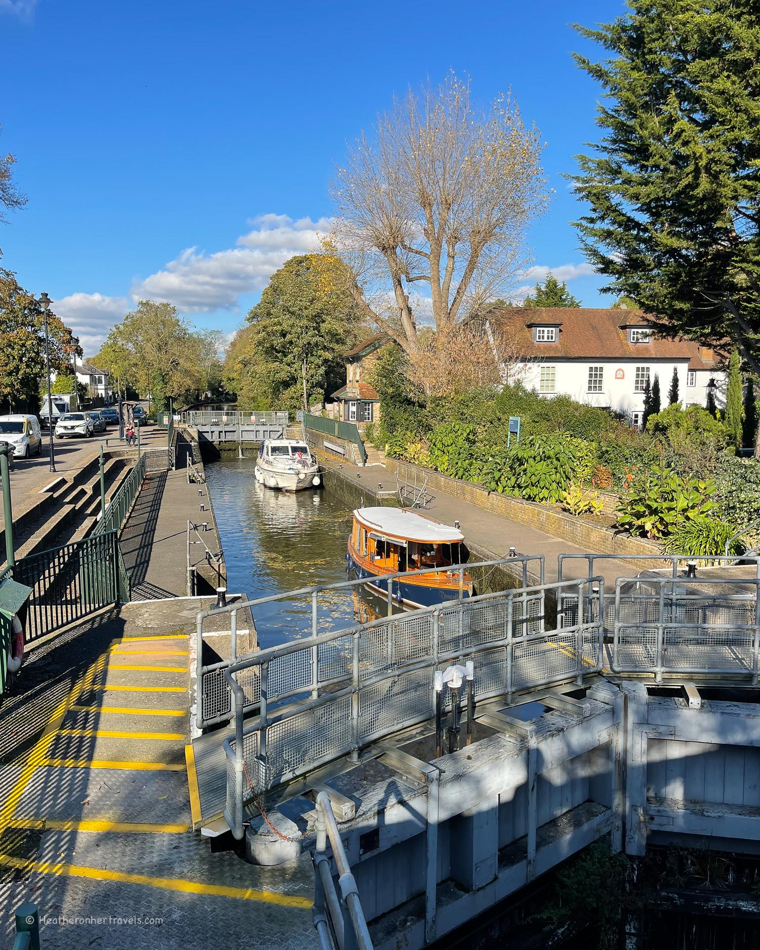
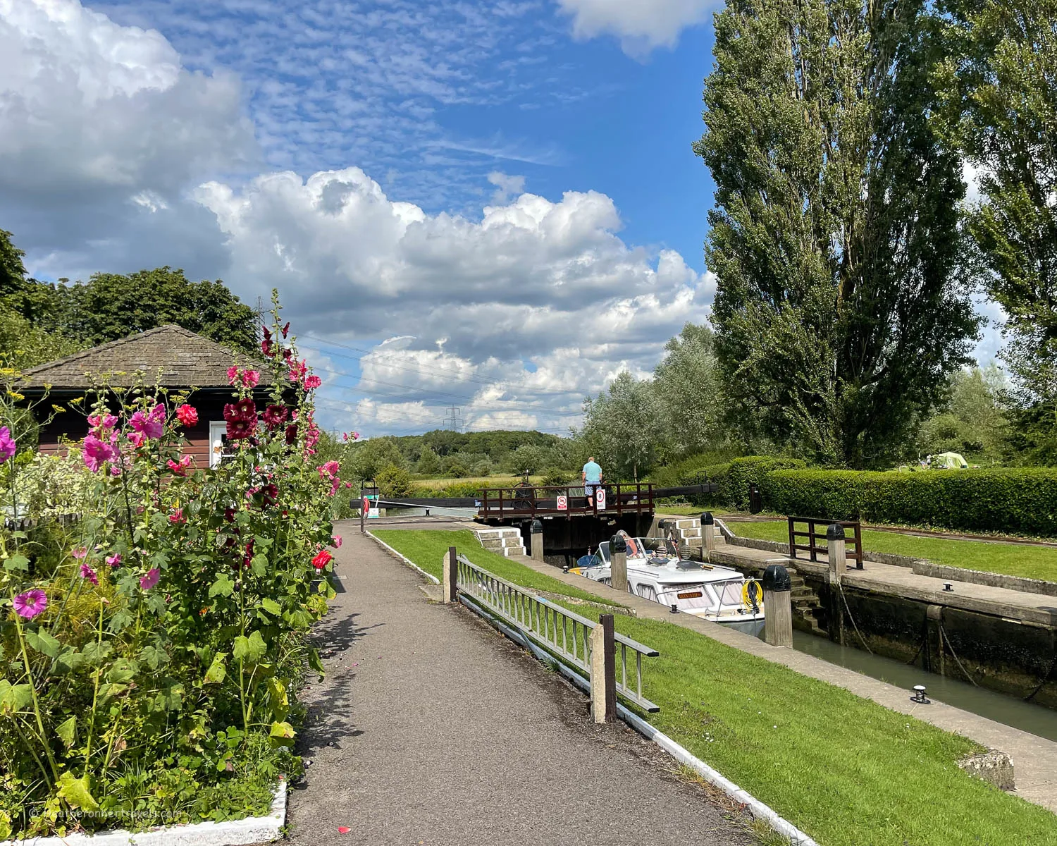
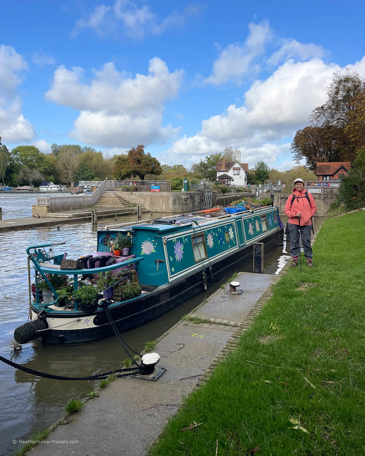
You’ll enjoy wild and isolated water meadows, but there’s also the pleasant buzz of canalboats passing through flower filled locks and riverside towns going about their business.

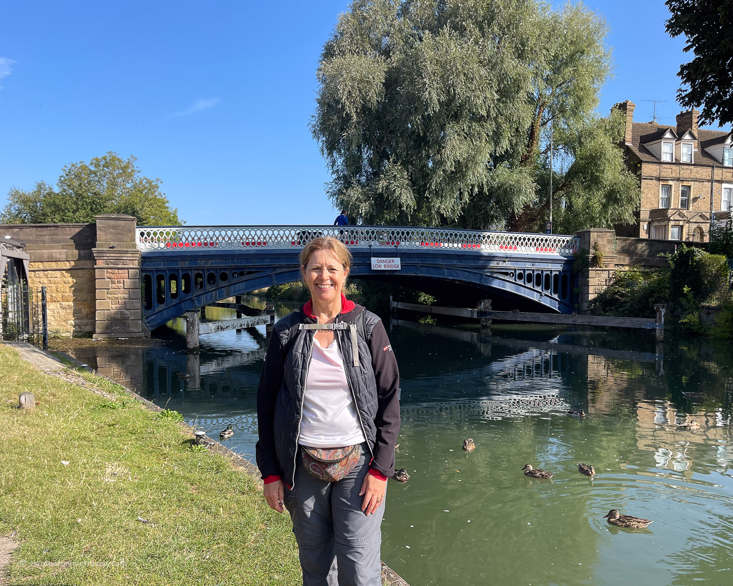
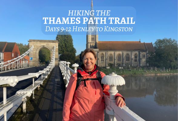
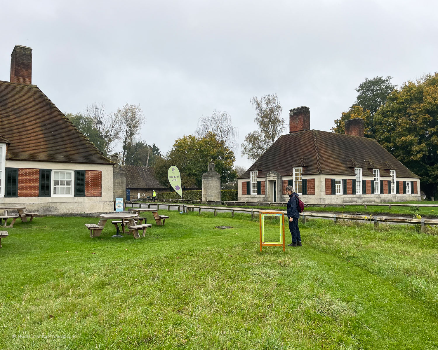
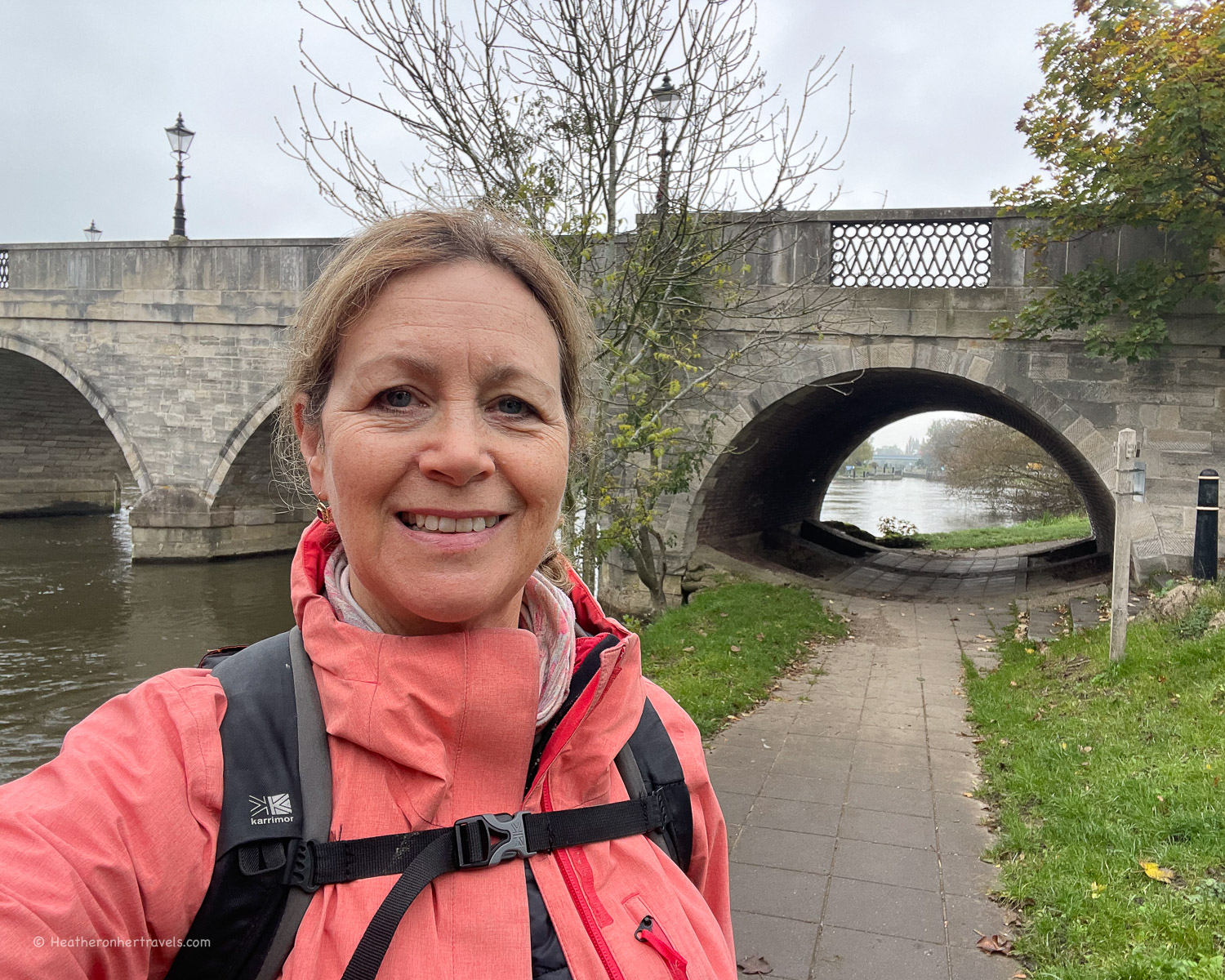
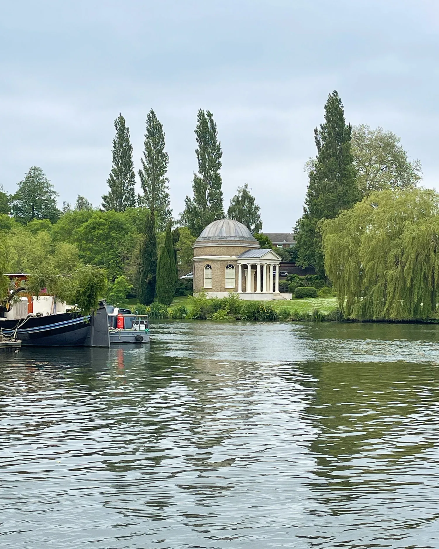
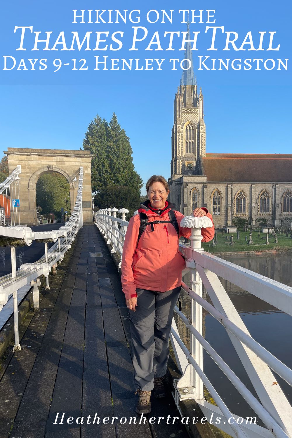
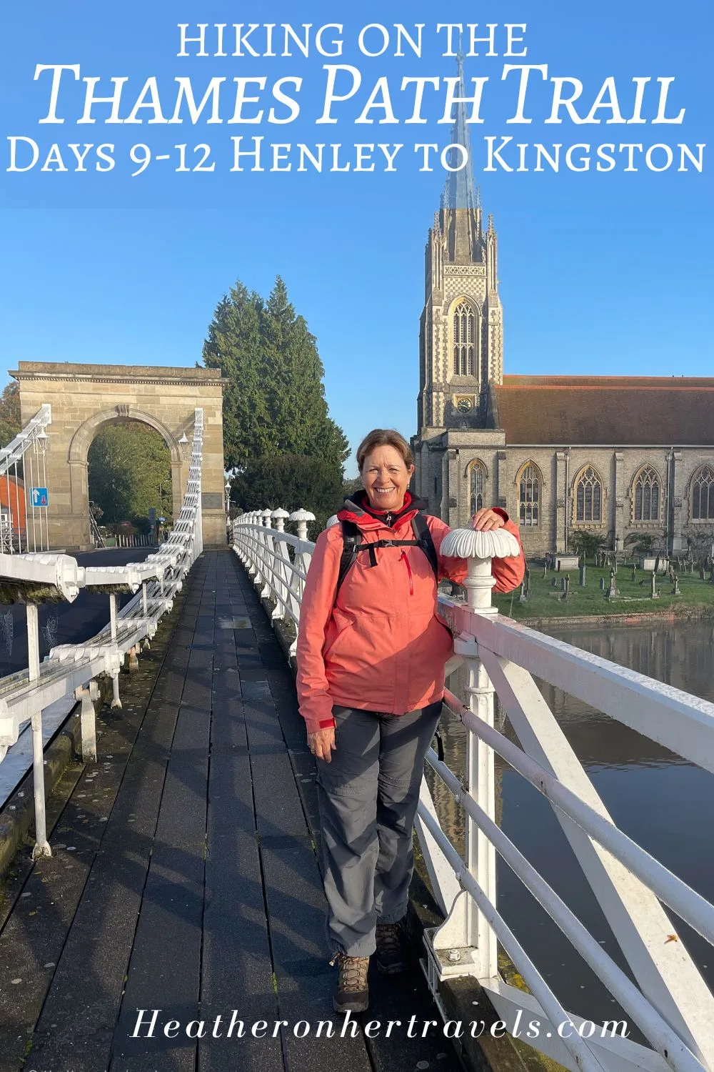
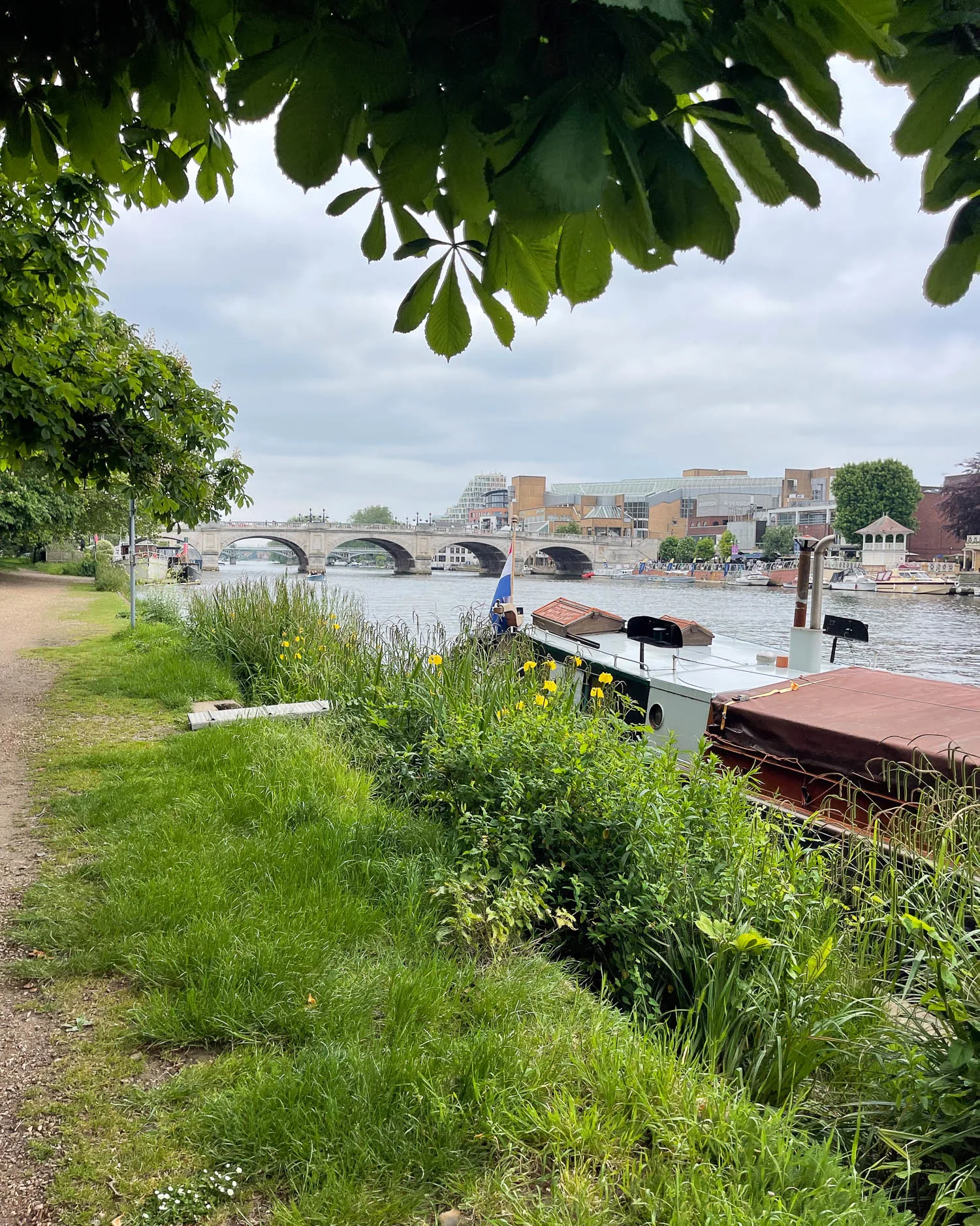
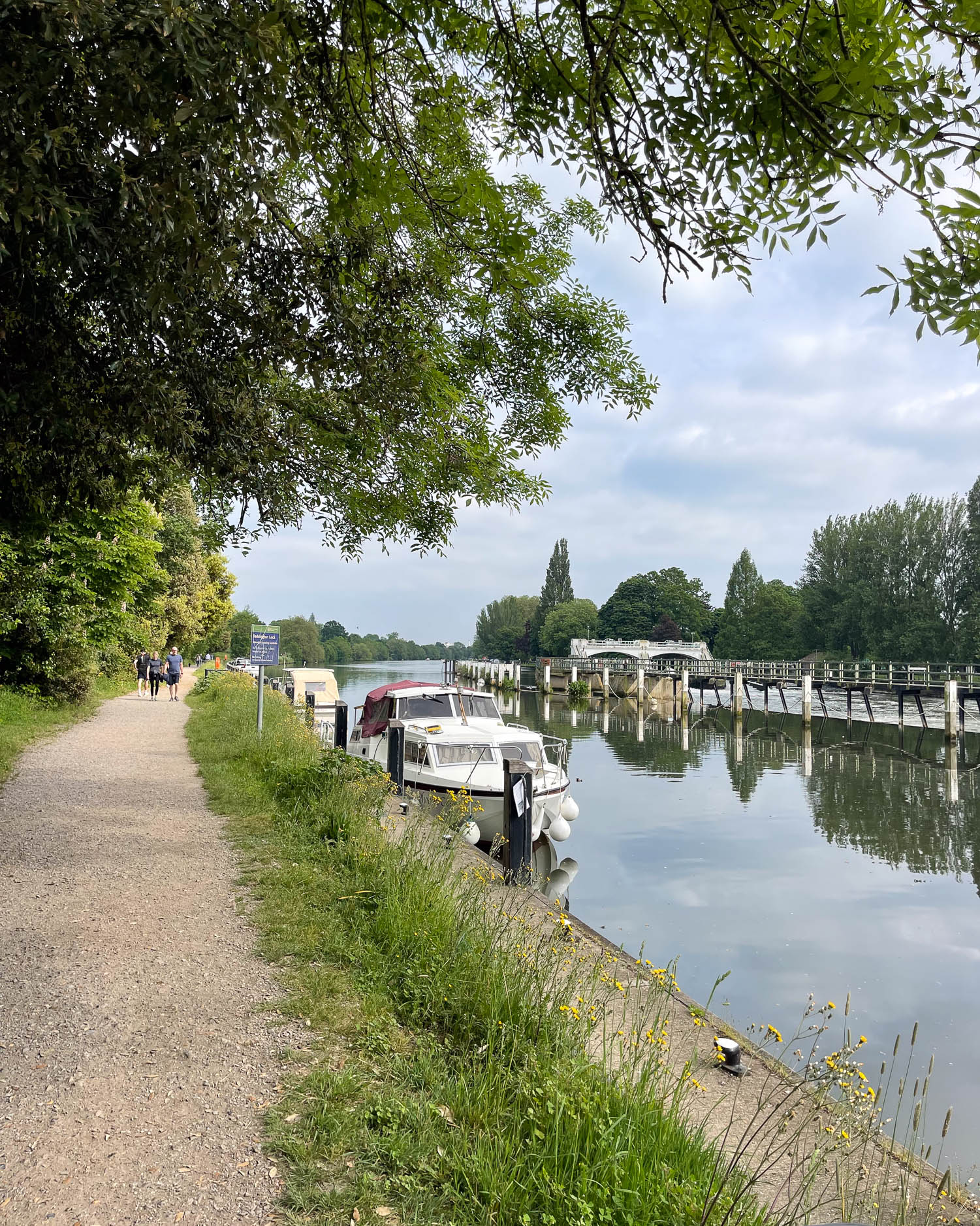
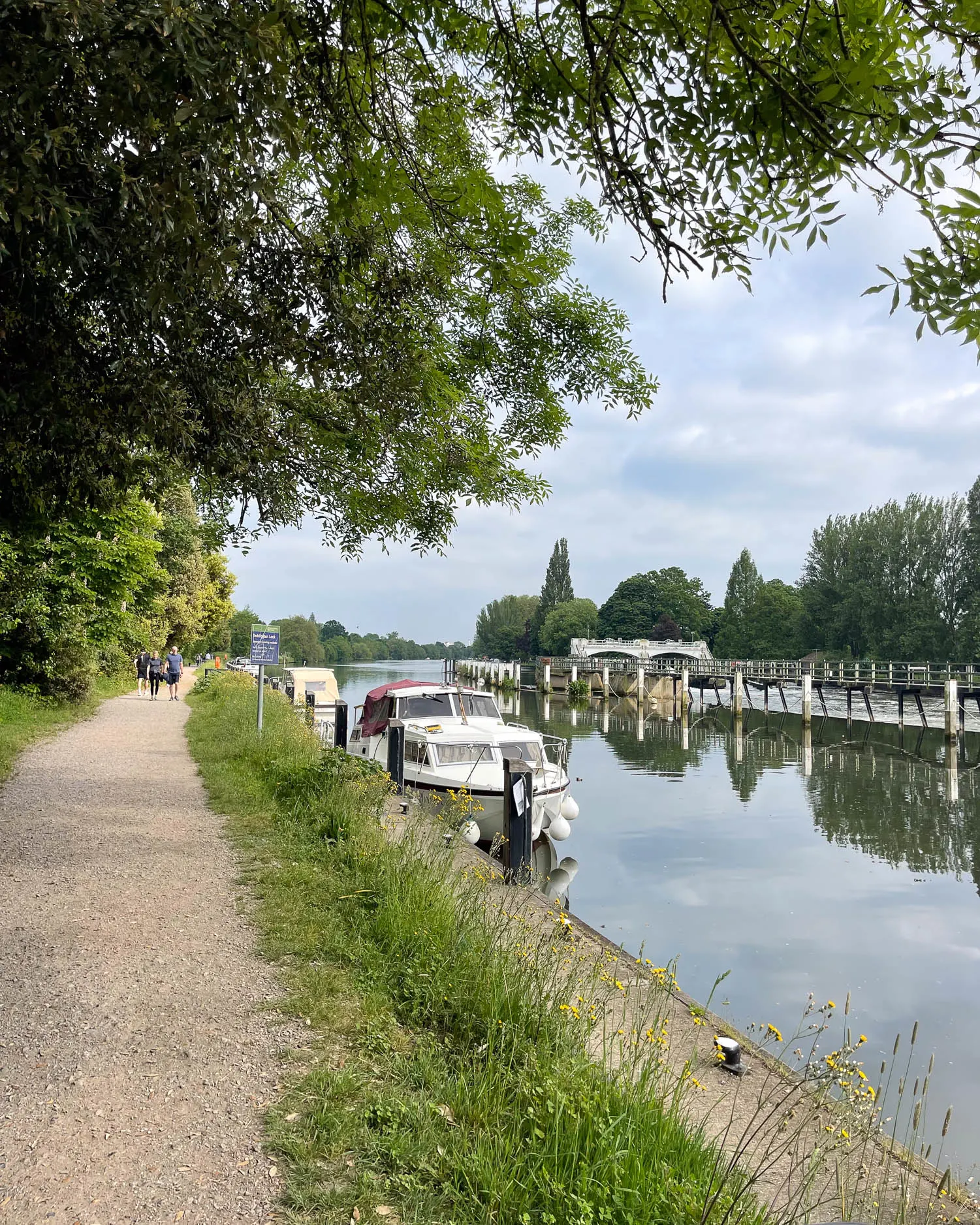
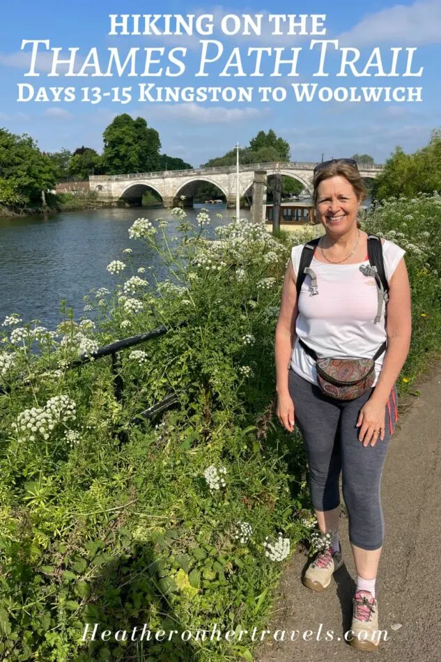
Read about: Henley to Kingston – Days 9-12
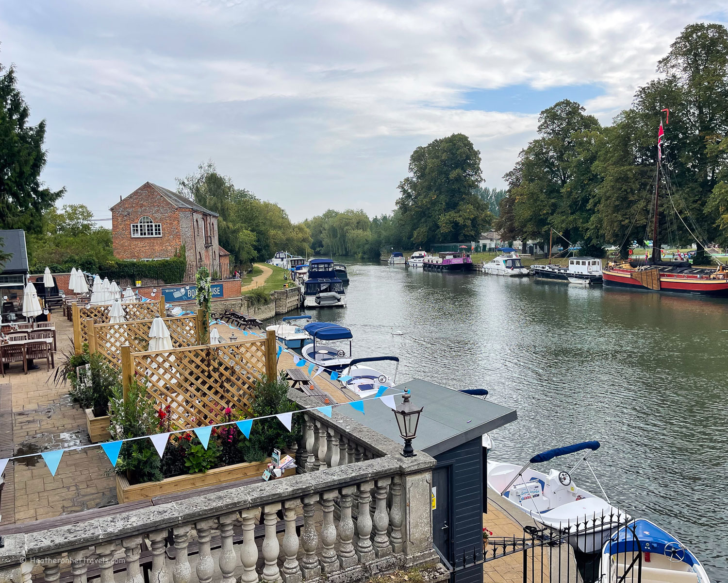
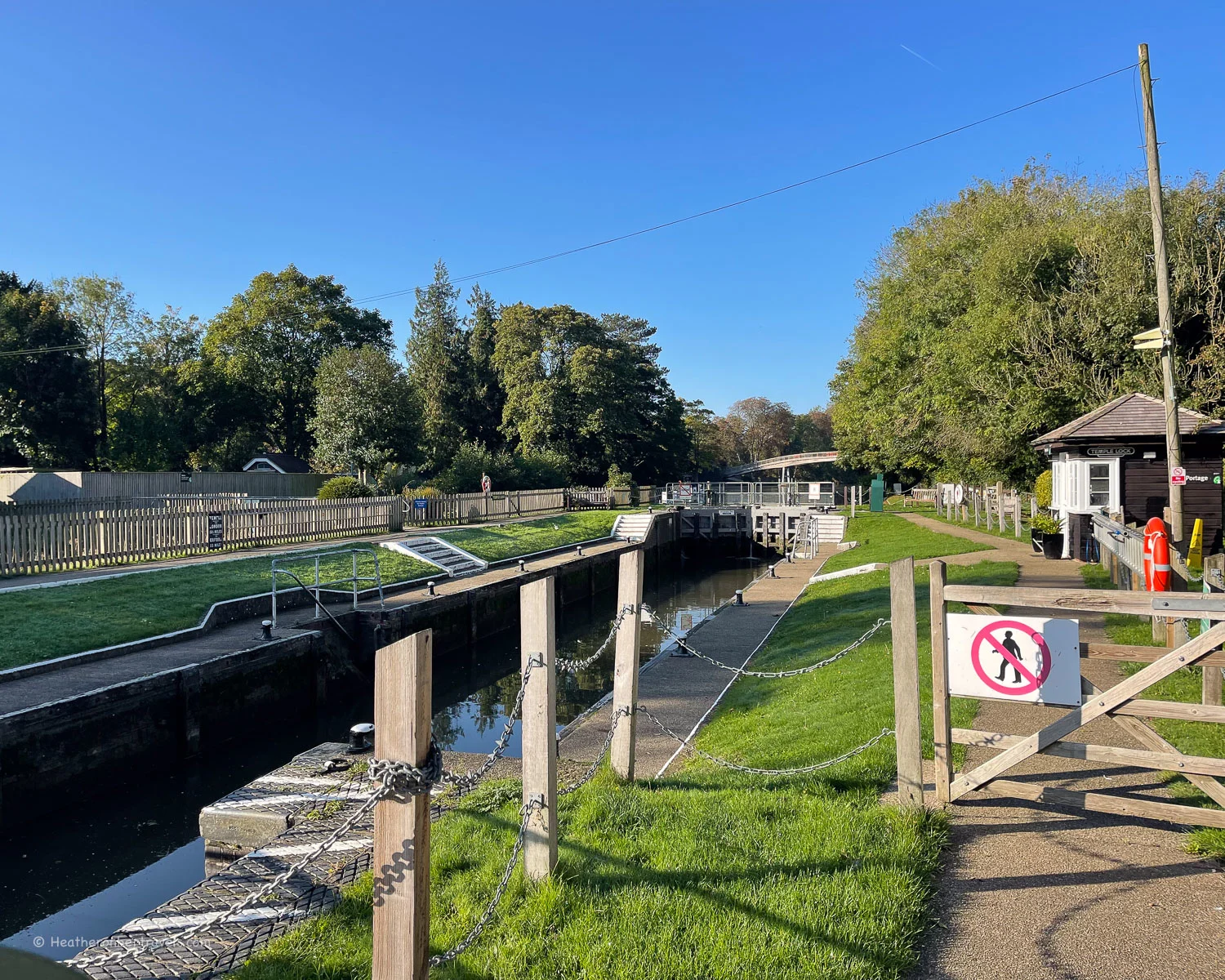
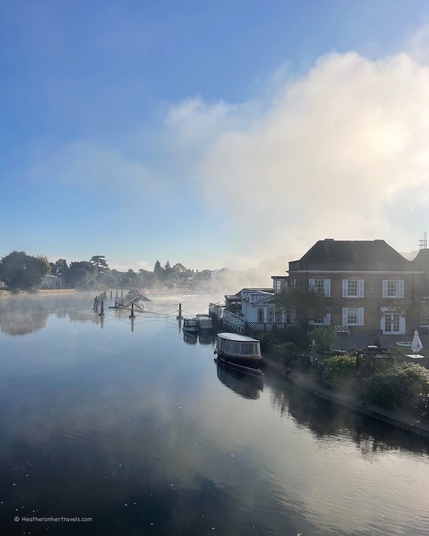
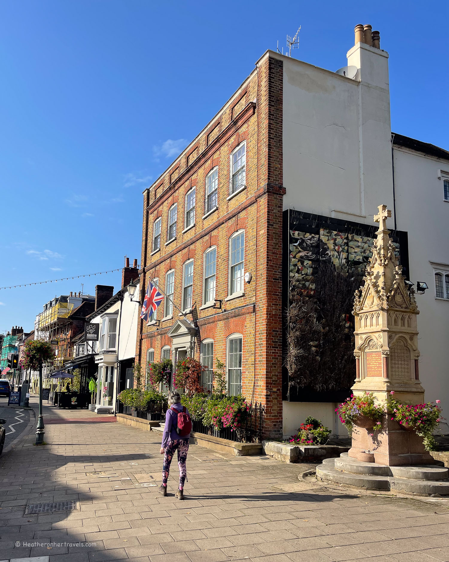
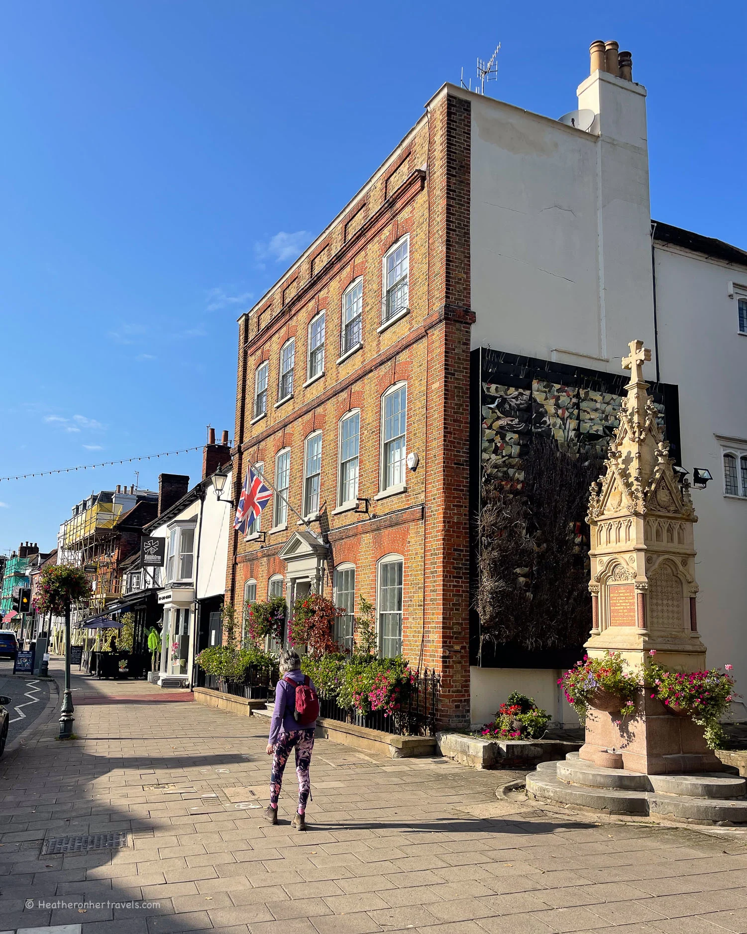
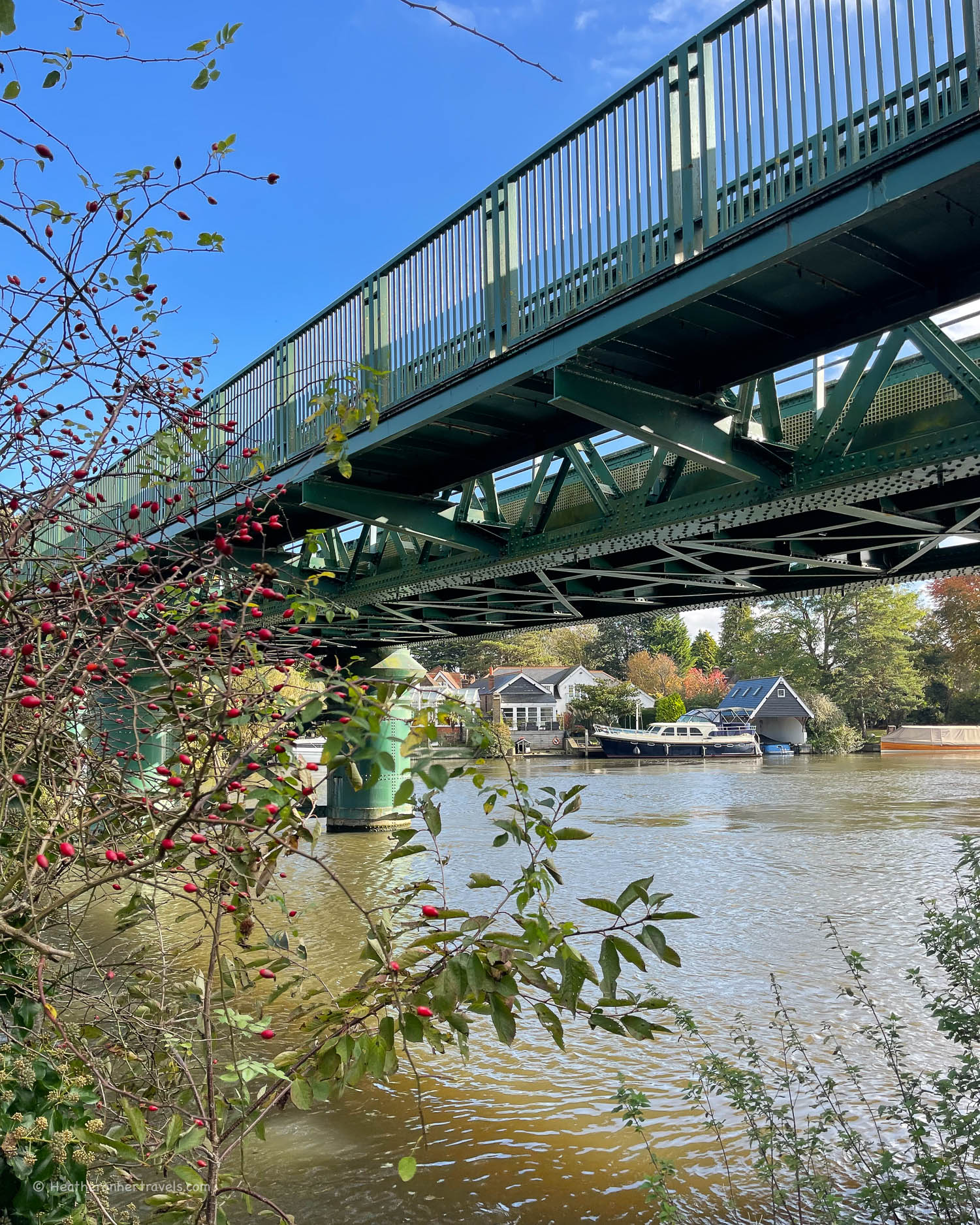
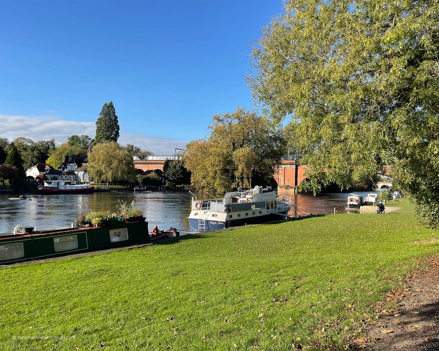
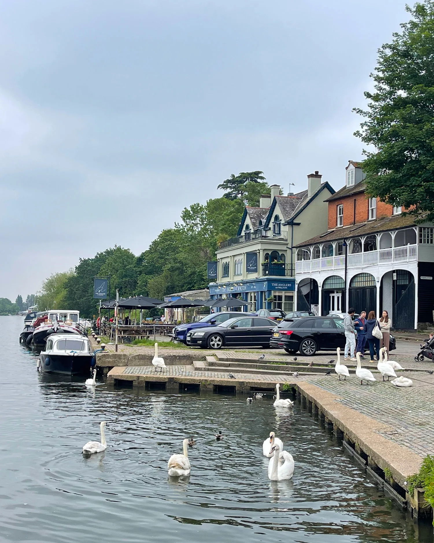
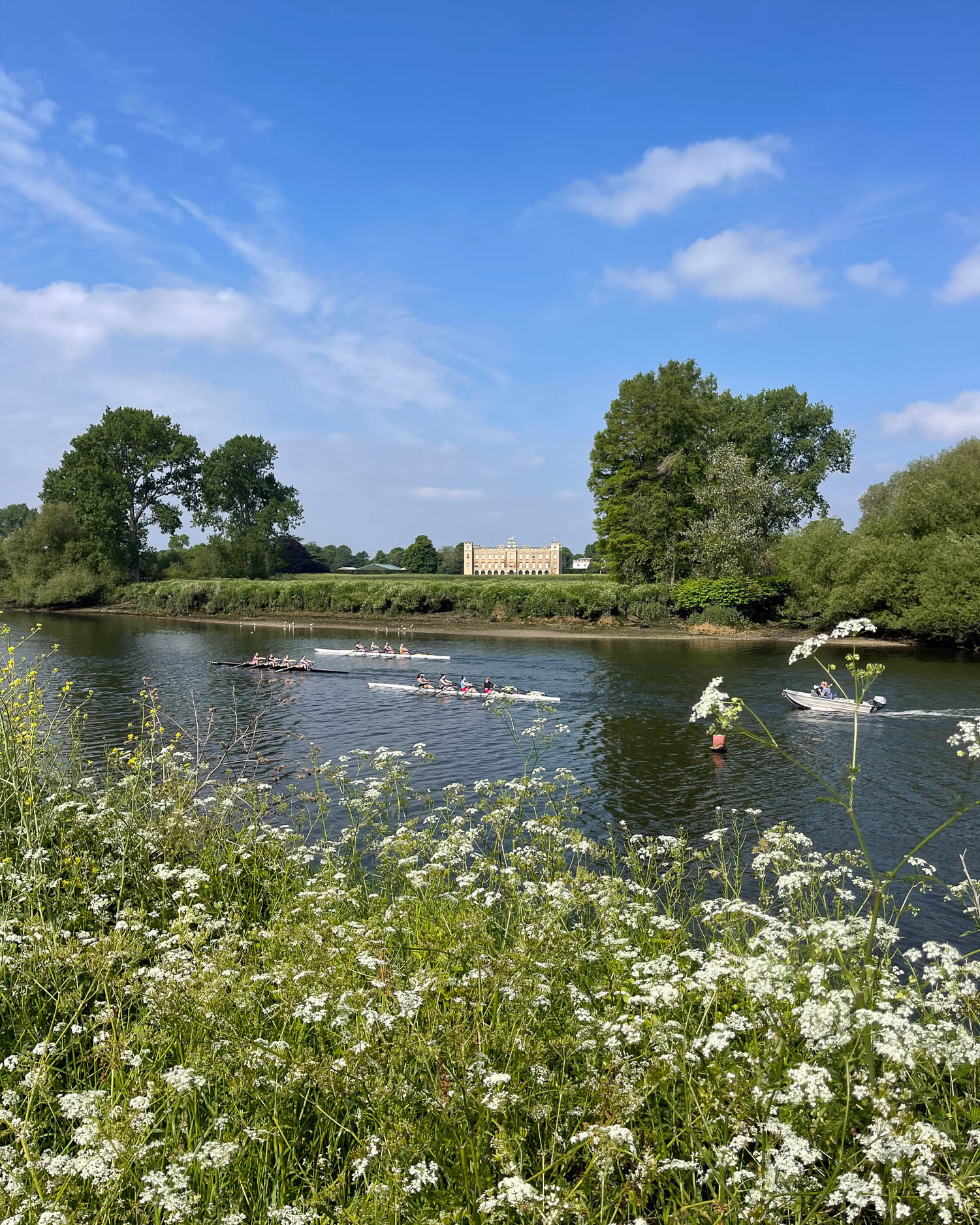
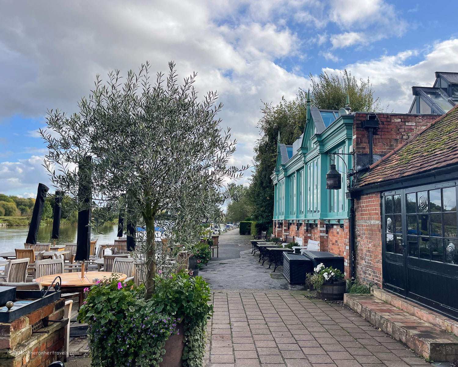
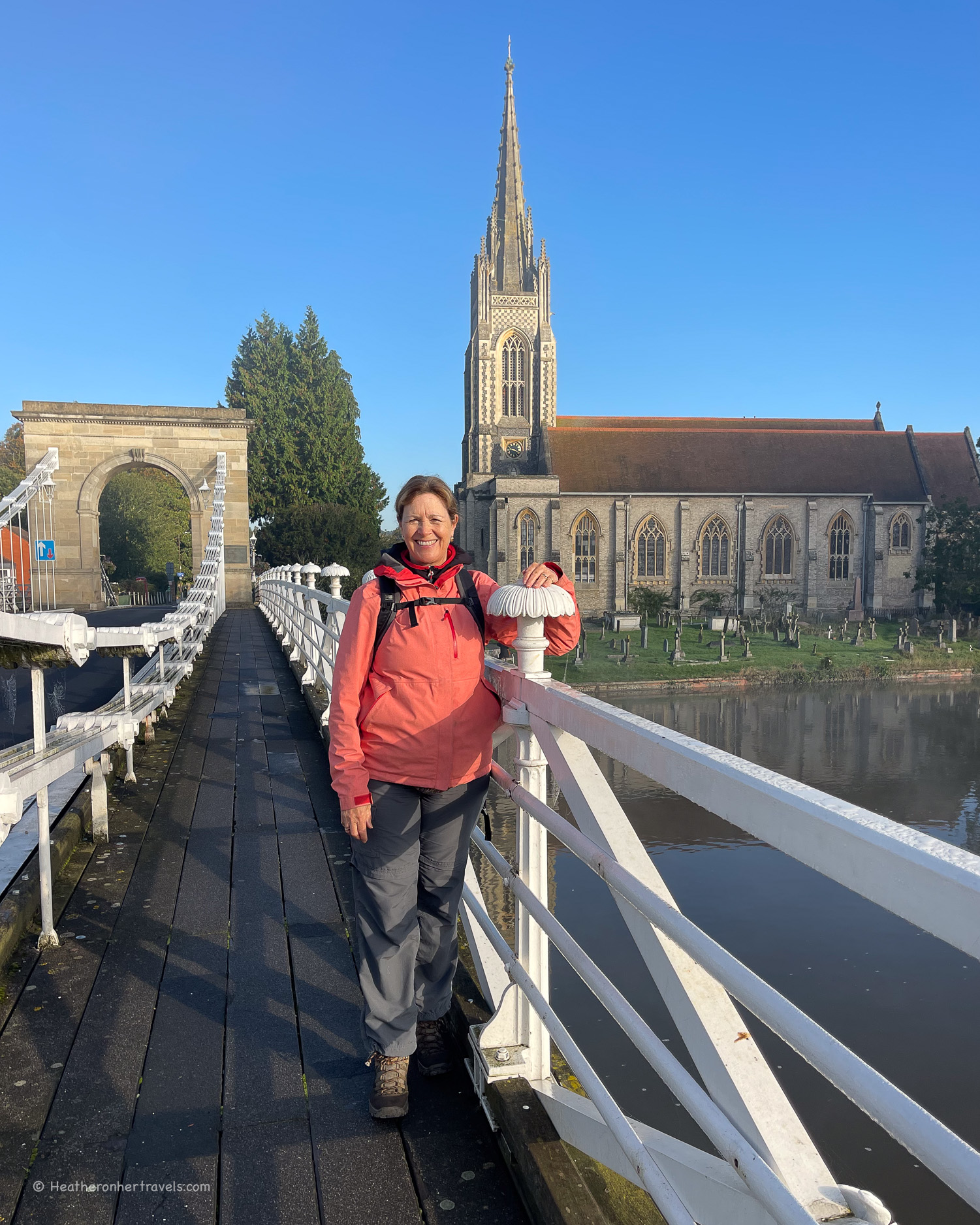
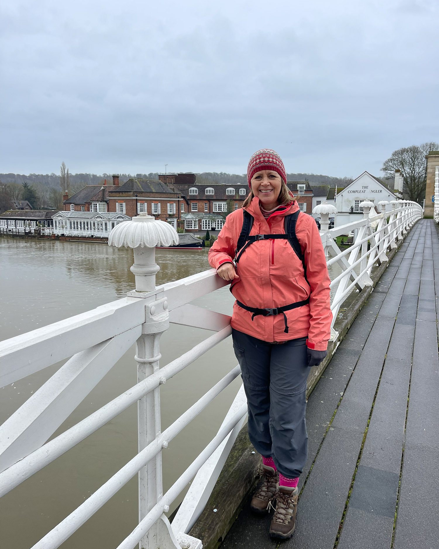
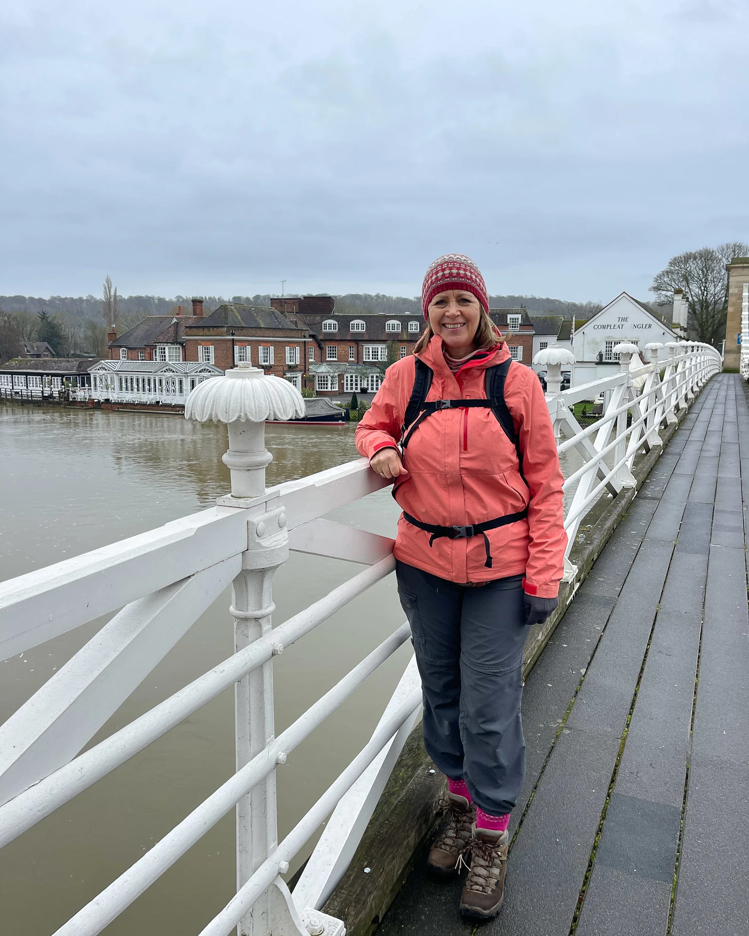
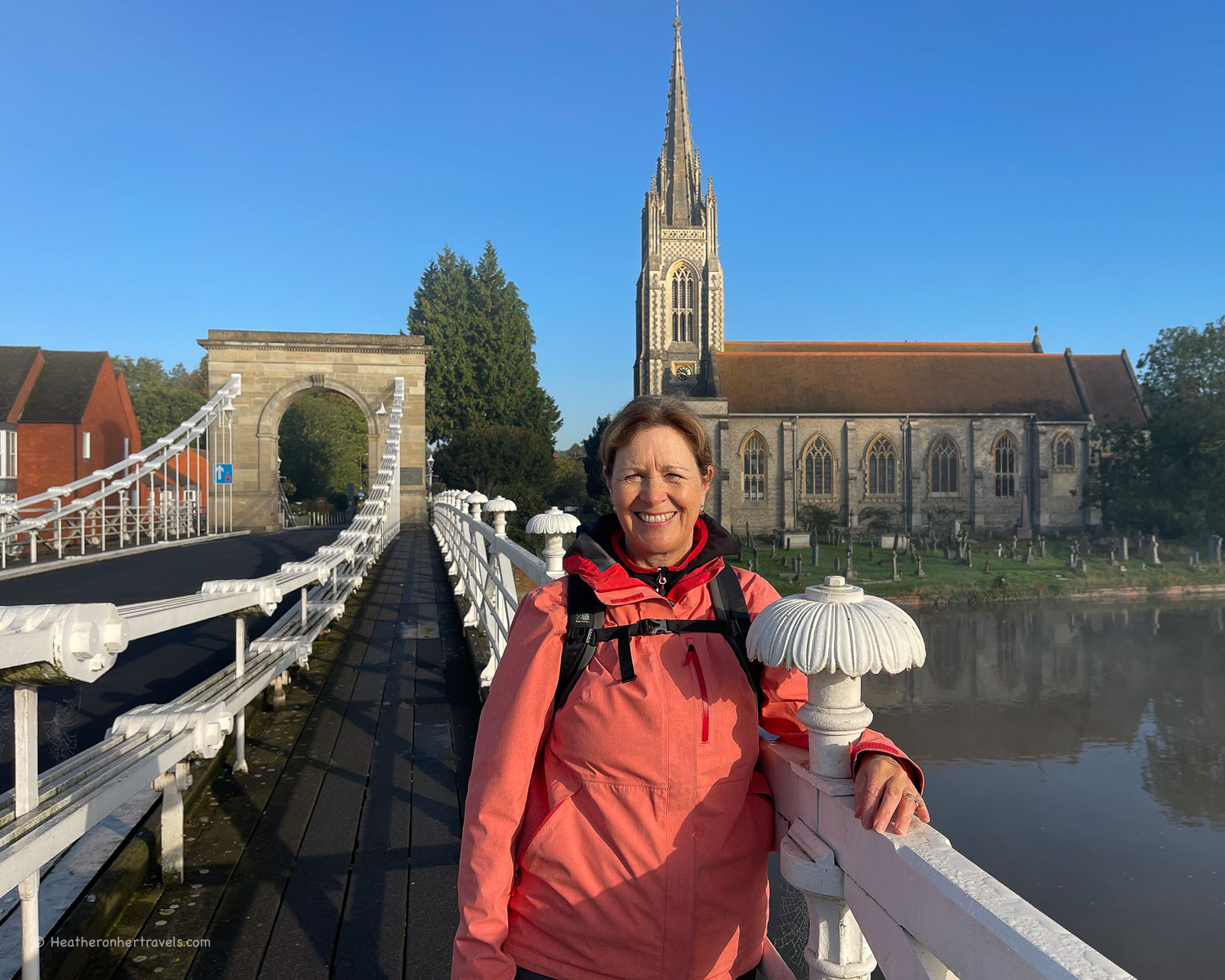
This section offers a blend of rural to urban landscapes, as the river flows steadily towards the outskirts of London. You’ll pass the prosperous riverside towns of Henley and Marlow, known for their rowing traditions and ornate Edwardian boathouses.
As the railways developed westwards from the 1850s, this stretch of the Thames came within the reach of Londoners for day trips, when regattas and rowing boats were all the rage.


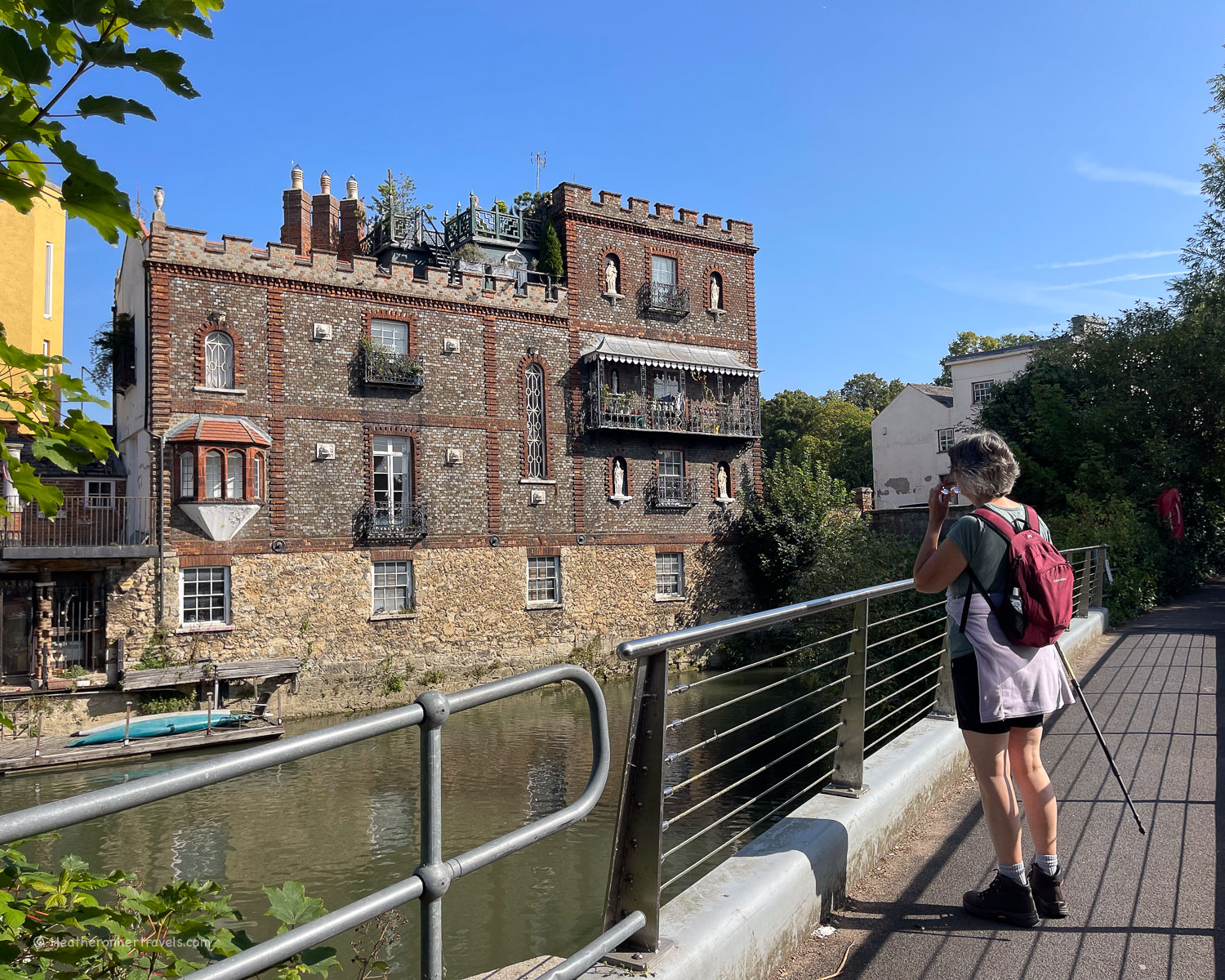
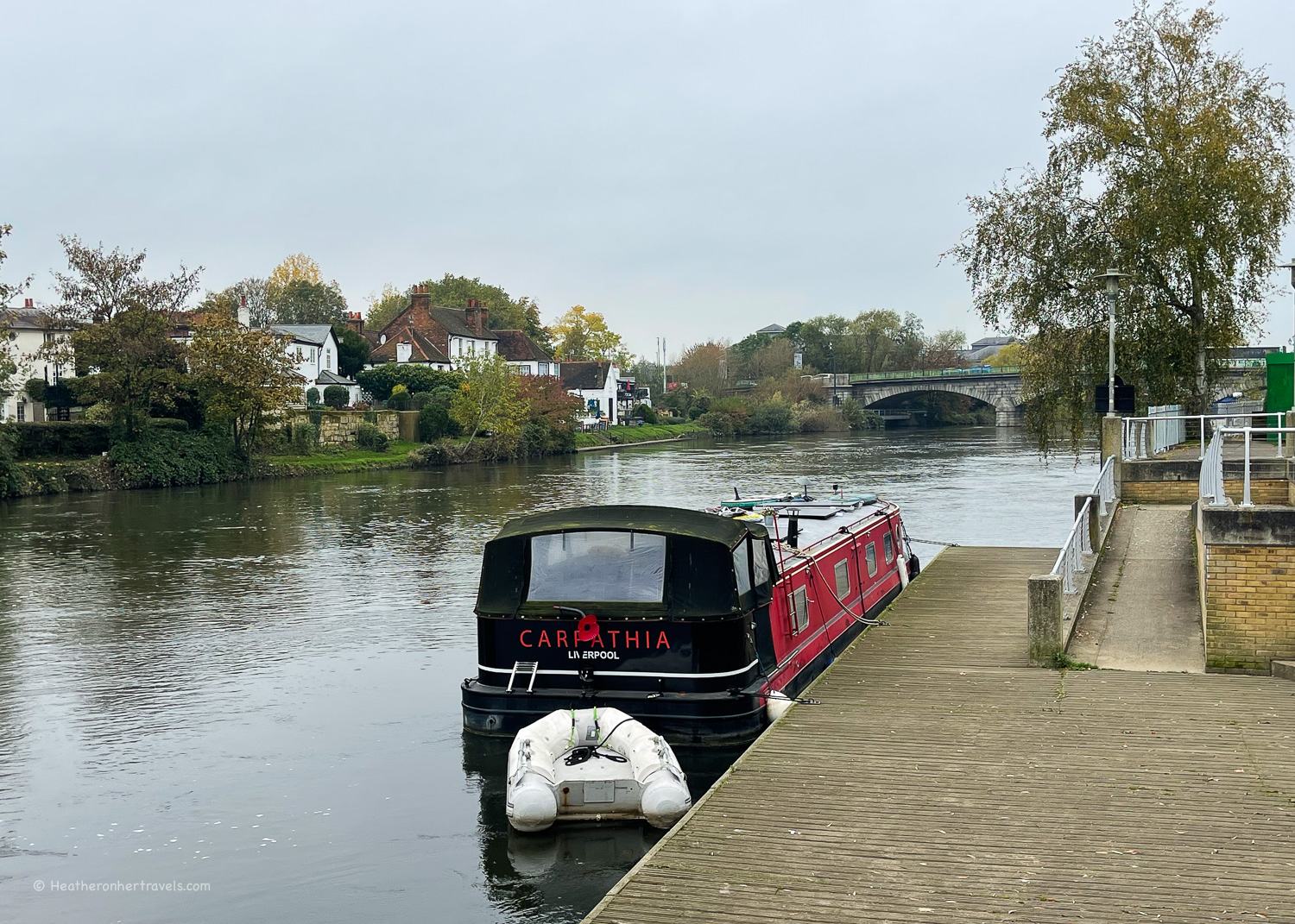
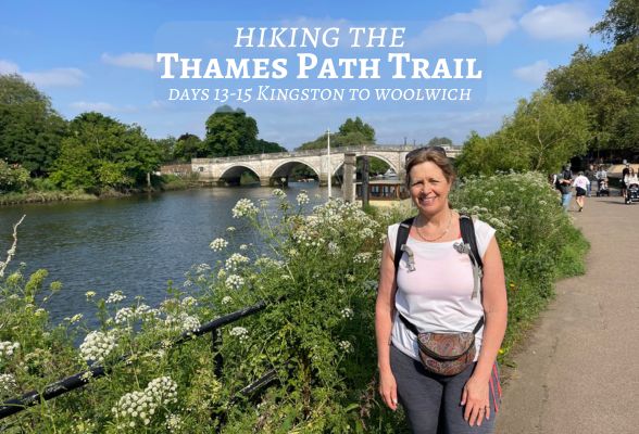
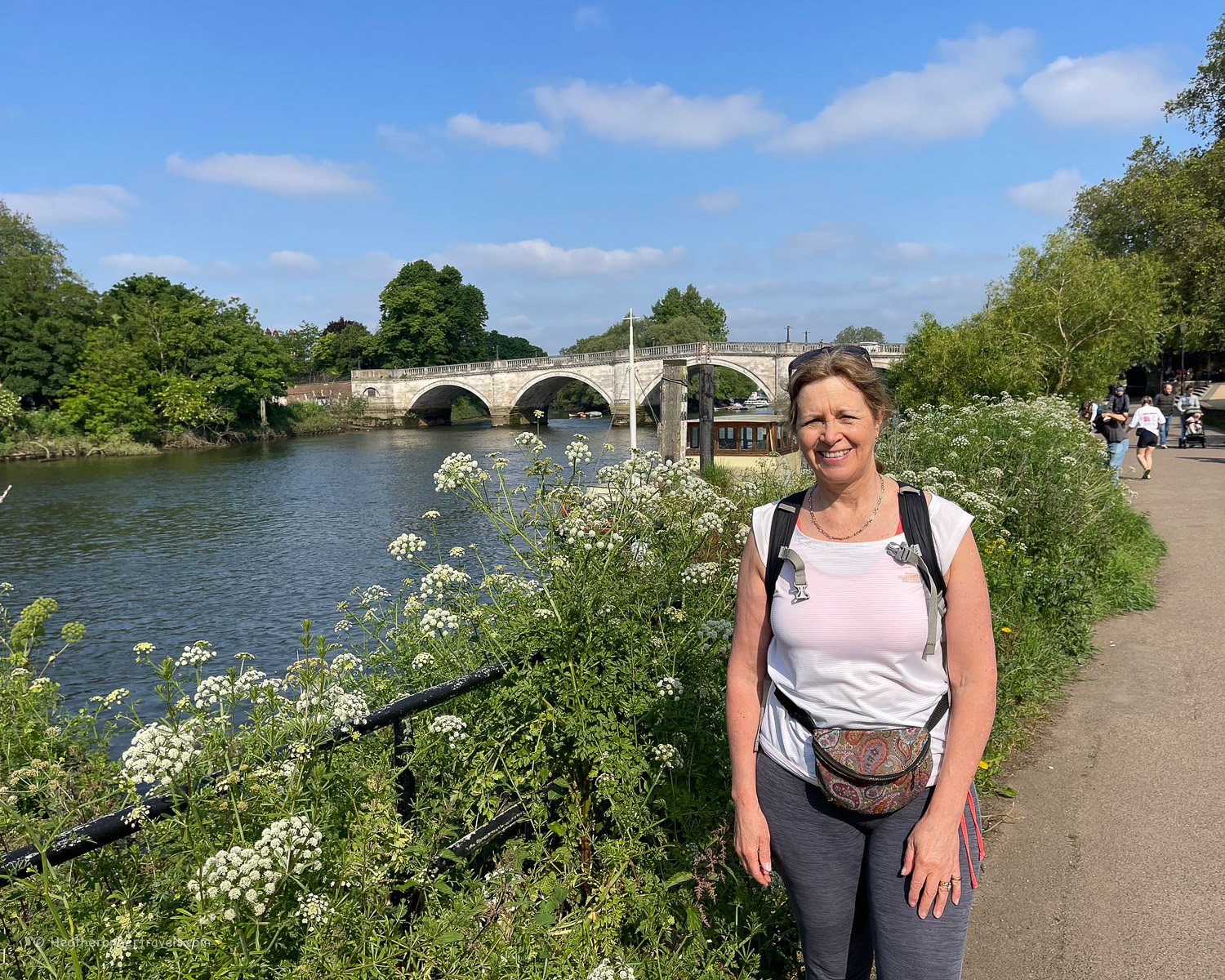
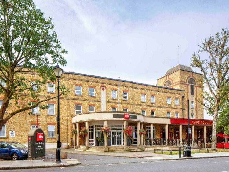
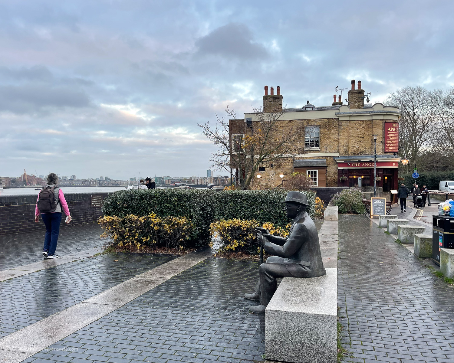
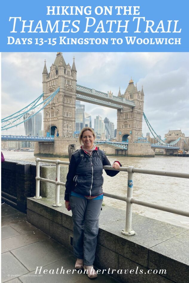
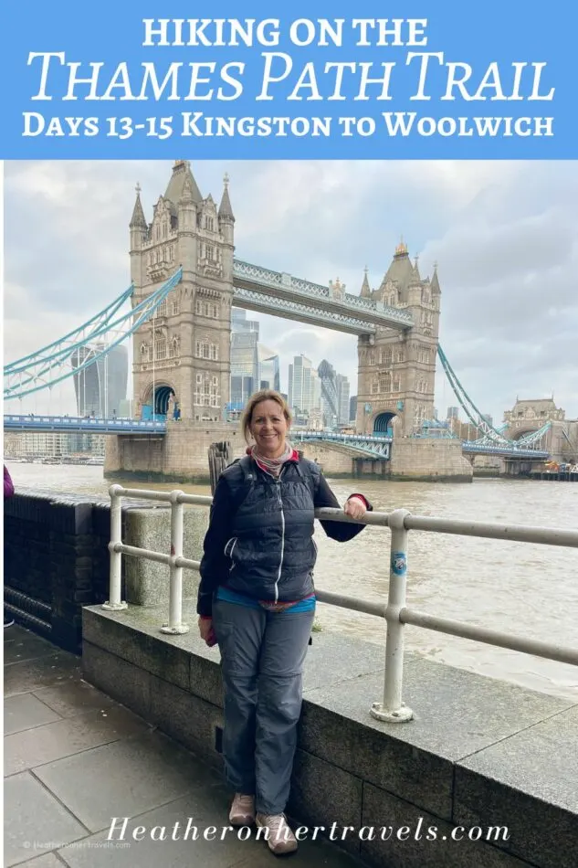
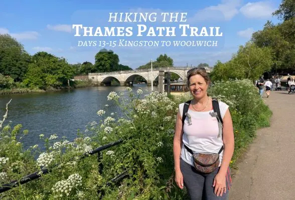
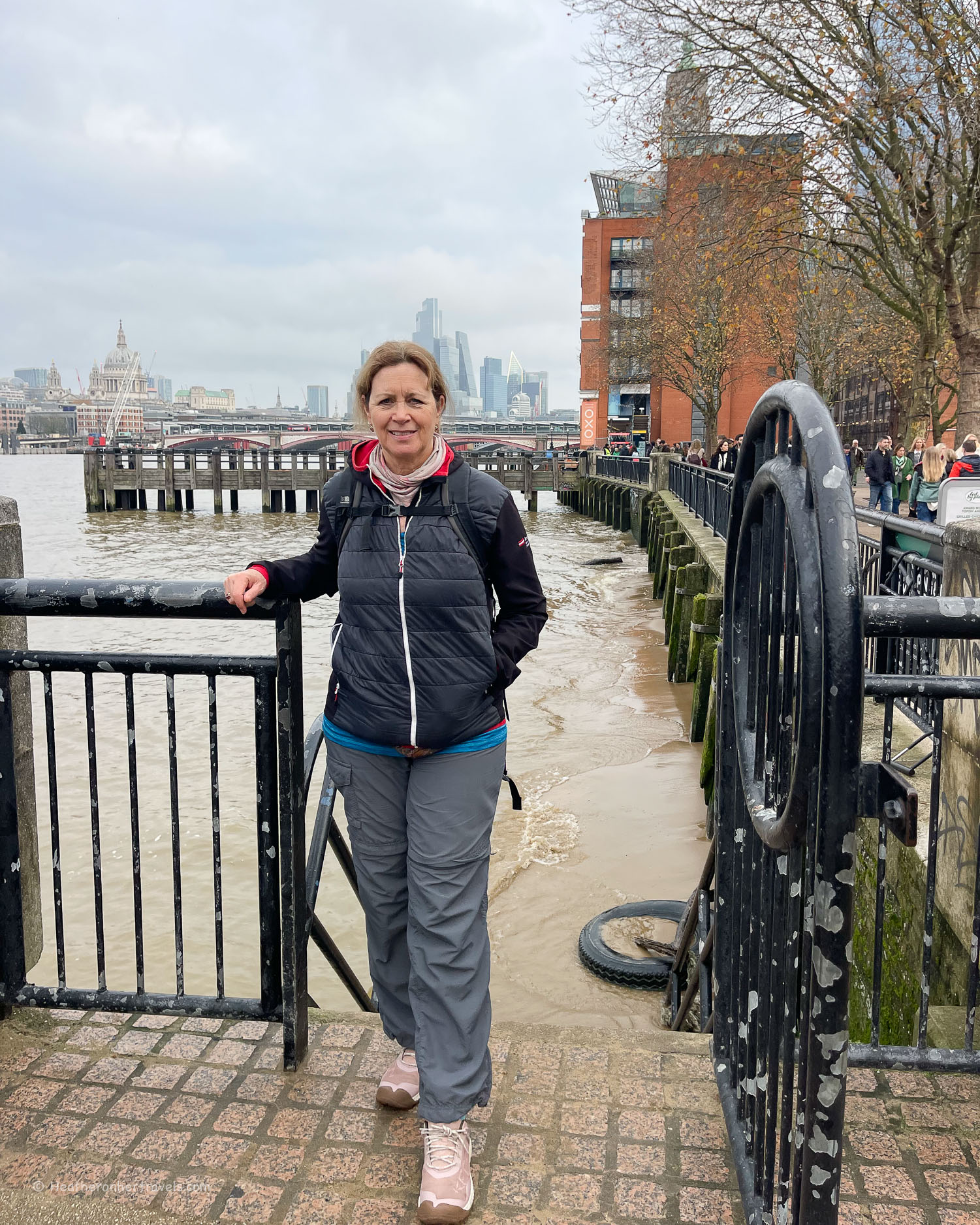
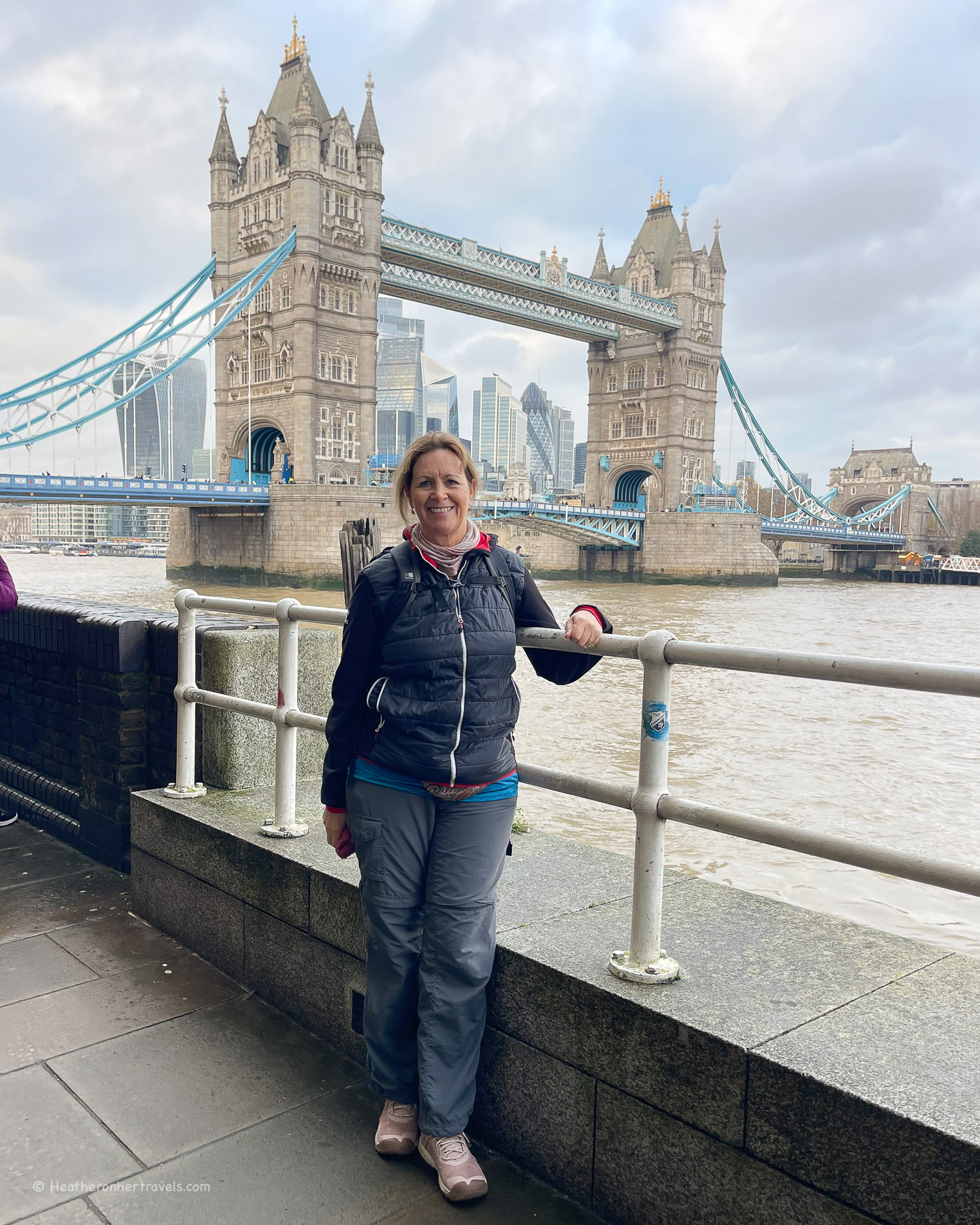
Read about: Kingston to Woolwich – Days 13-15
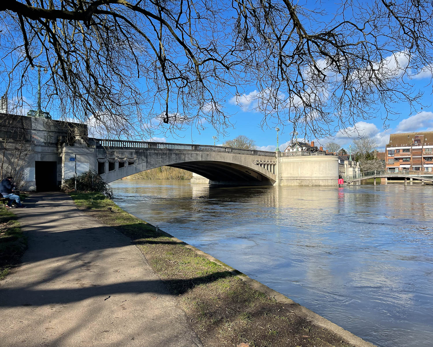
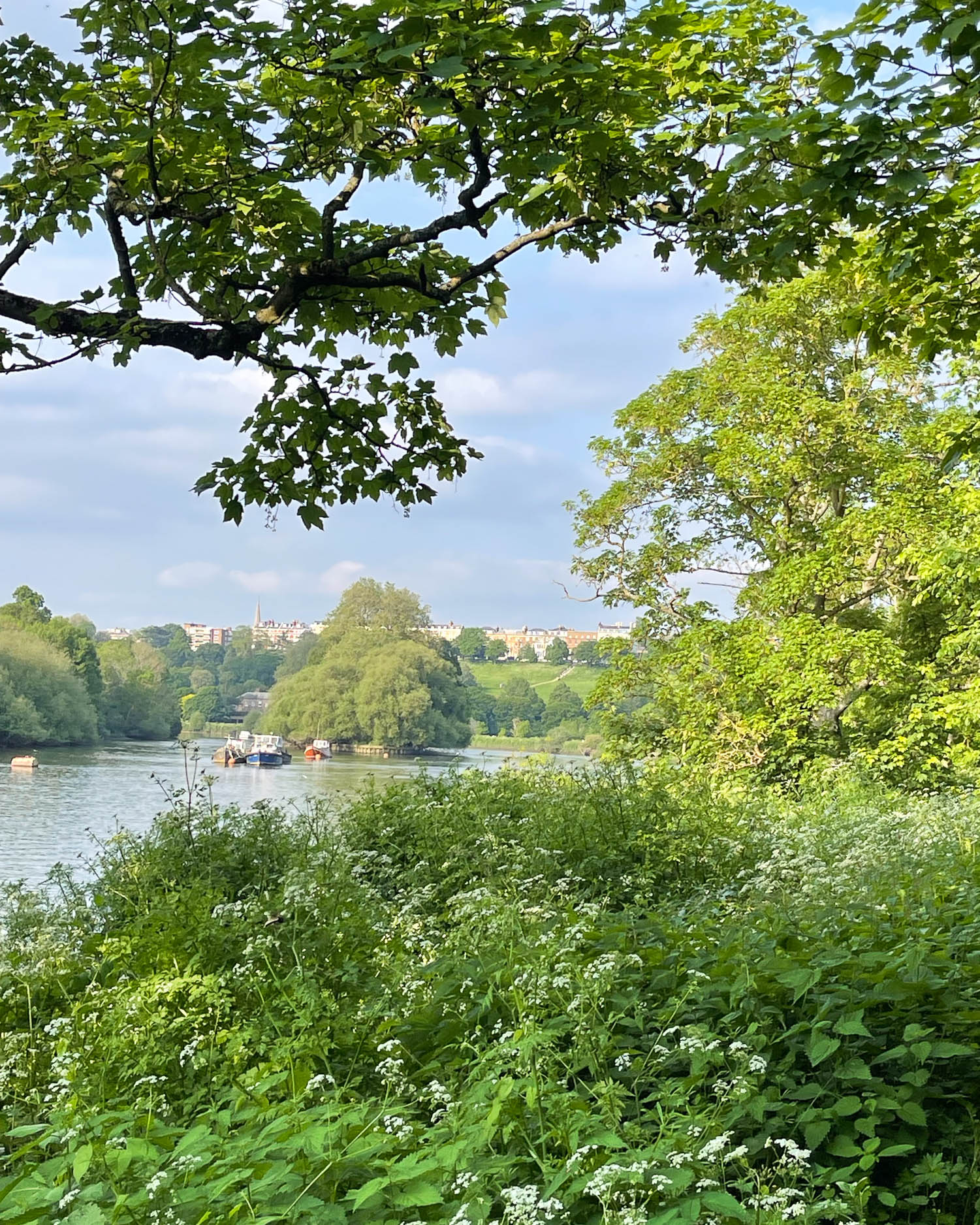
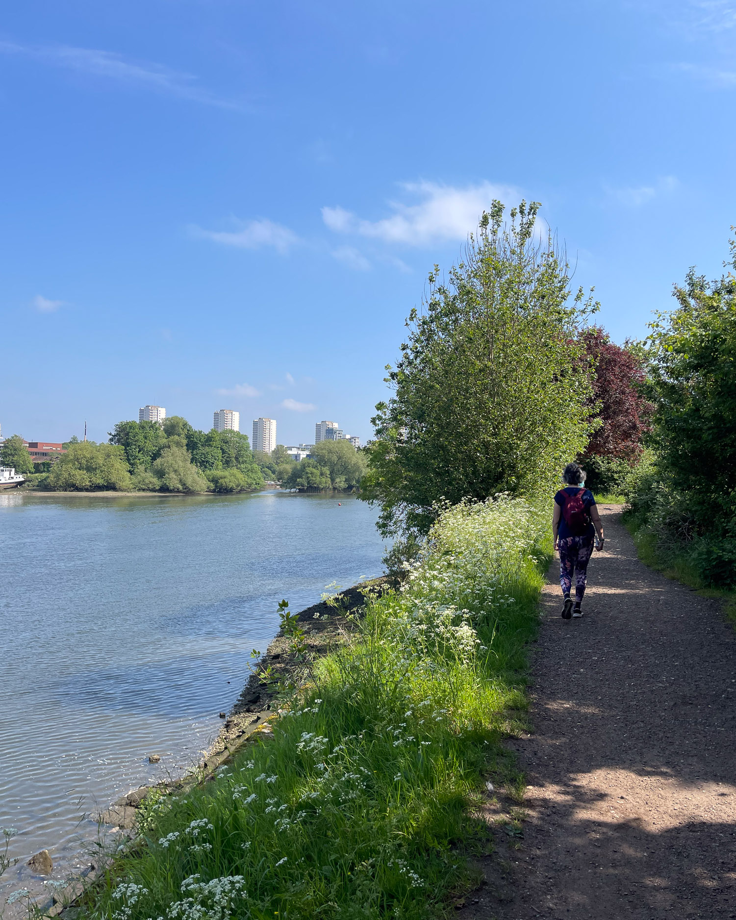
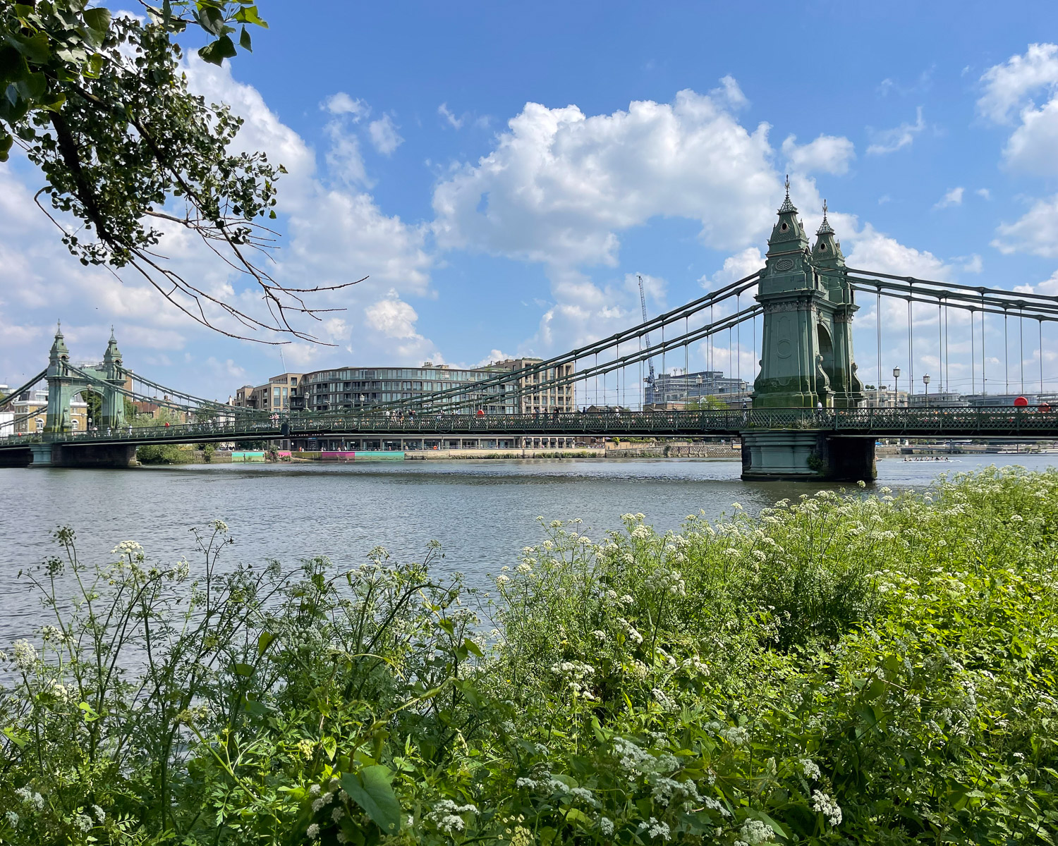
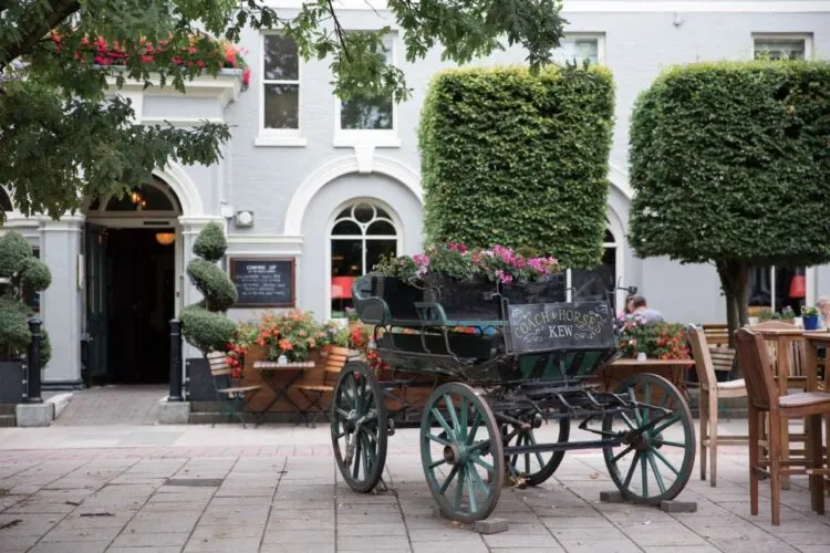
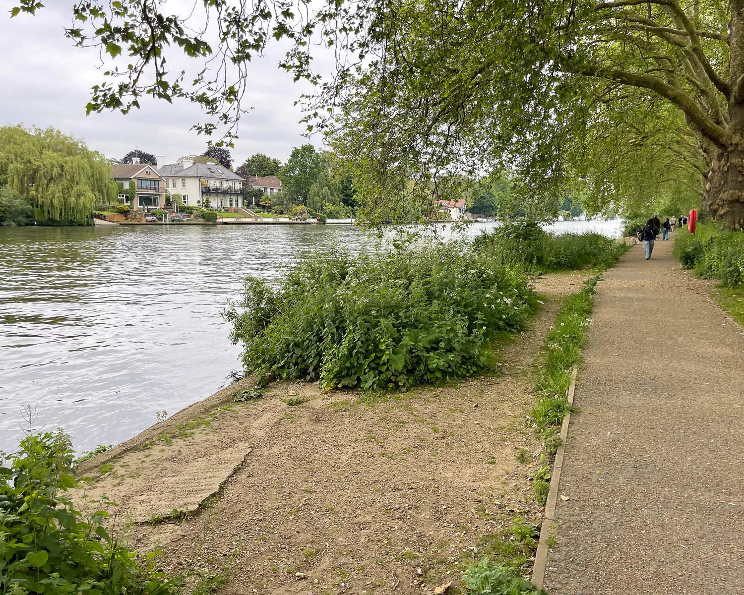
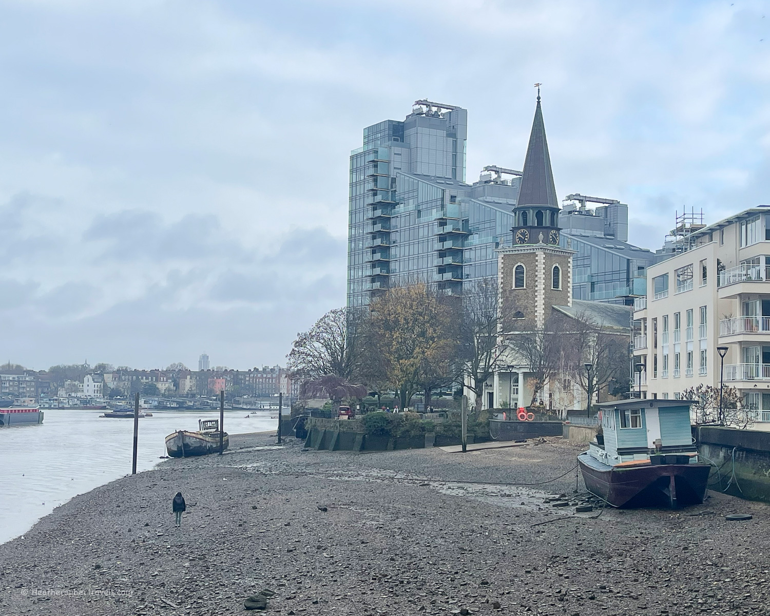
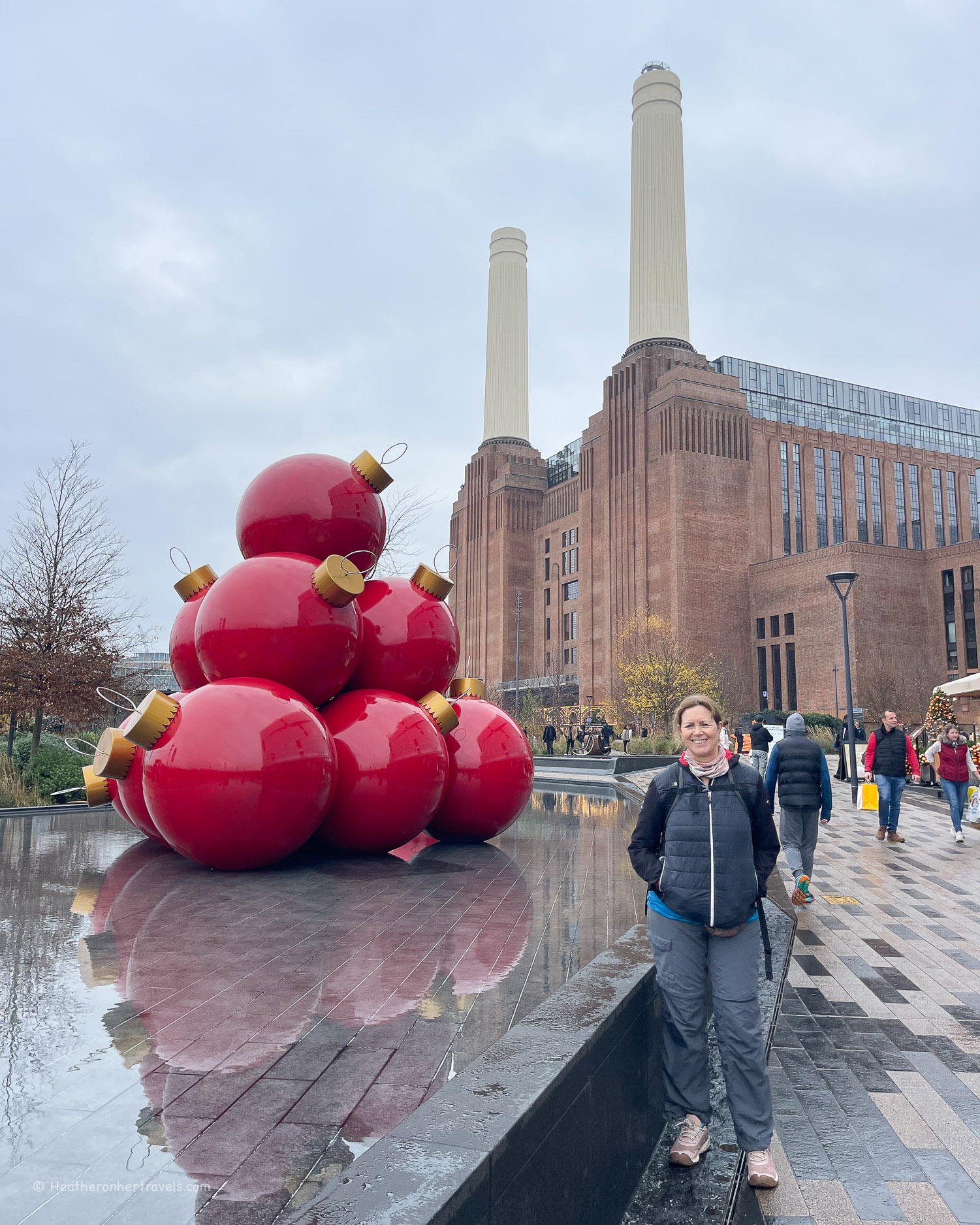
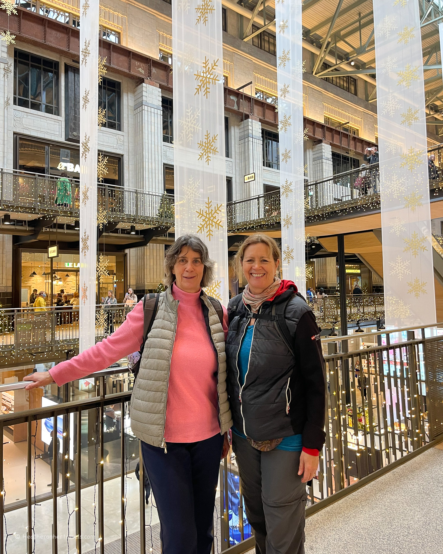
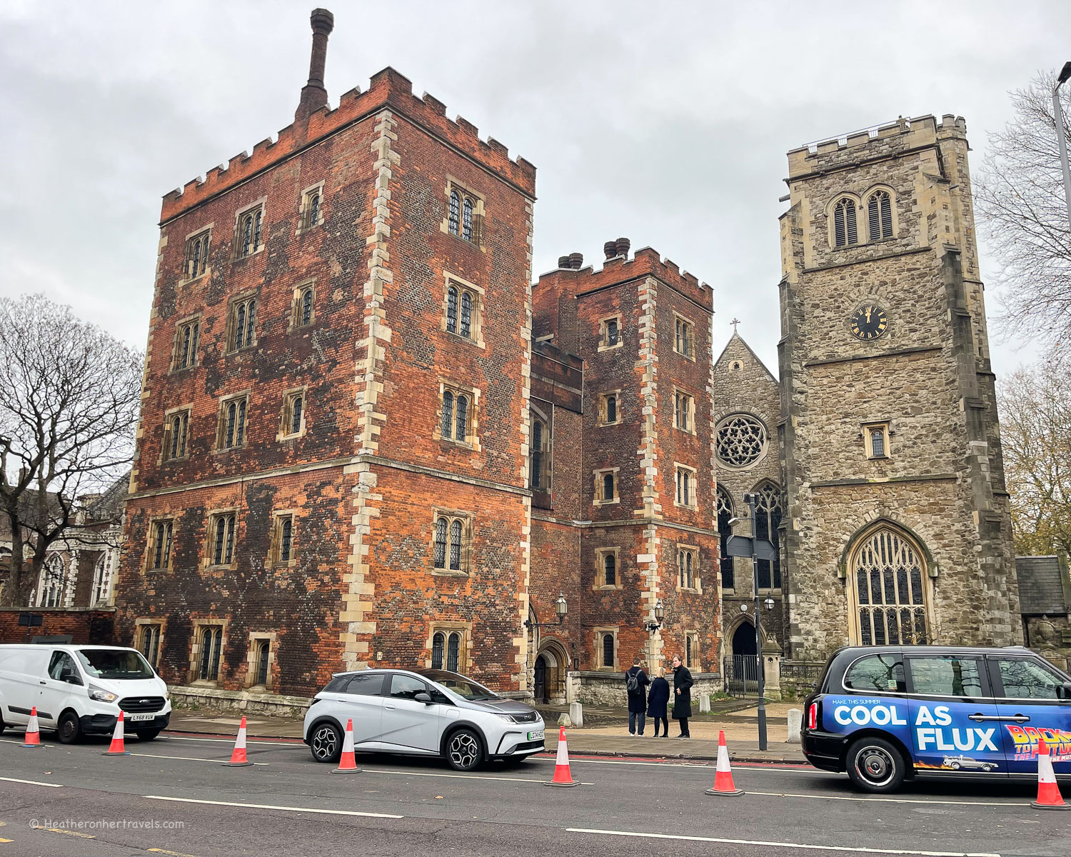
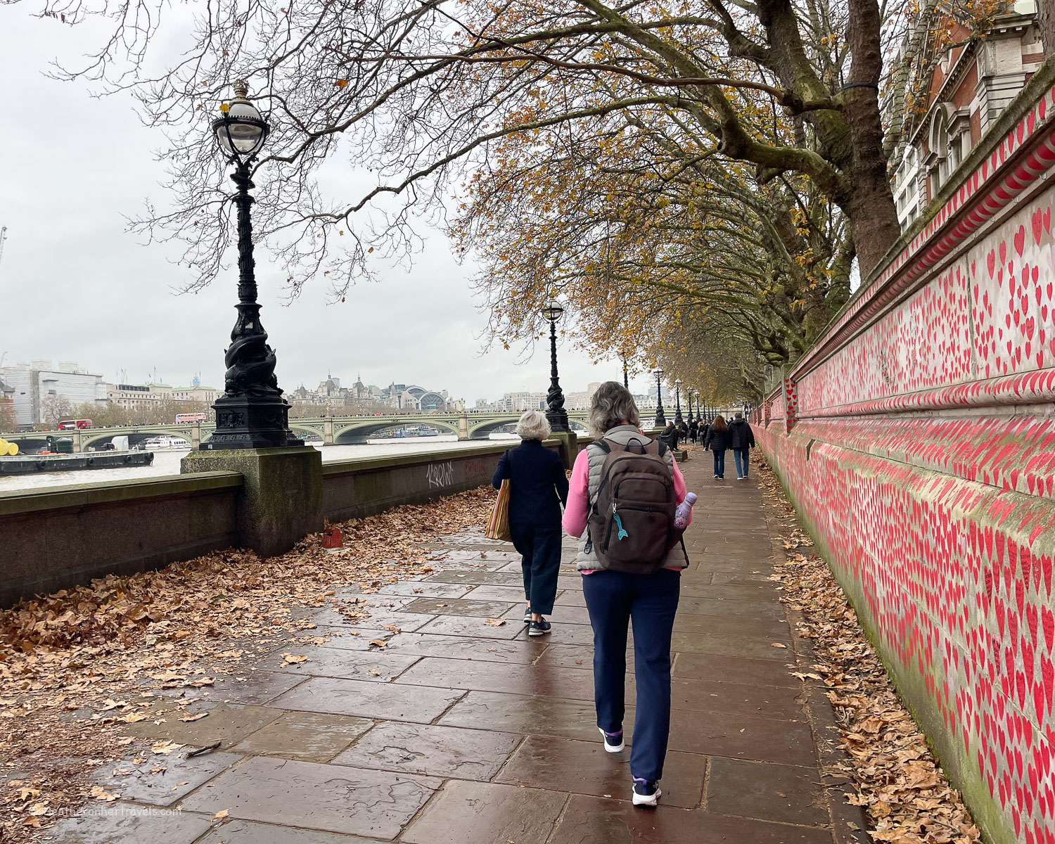
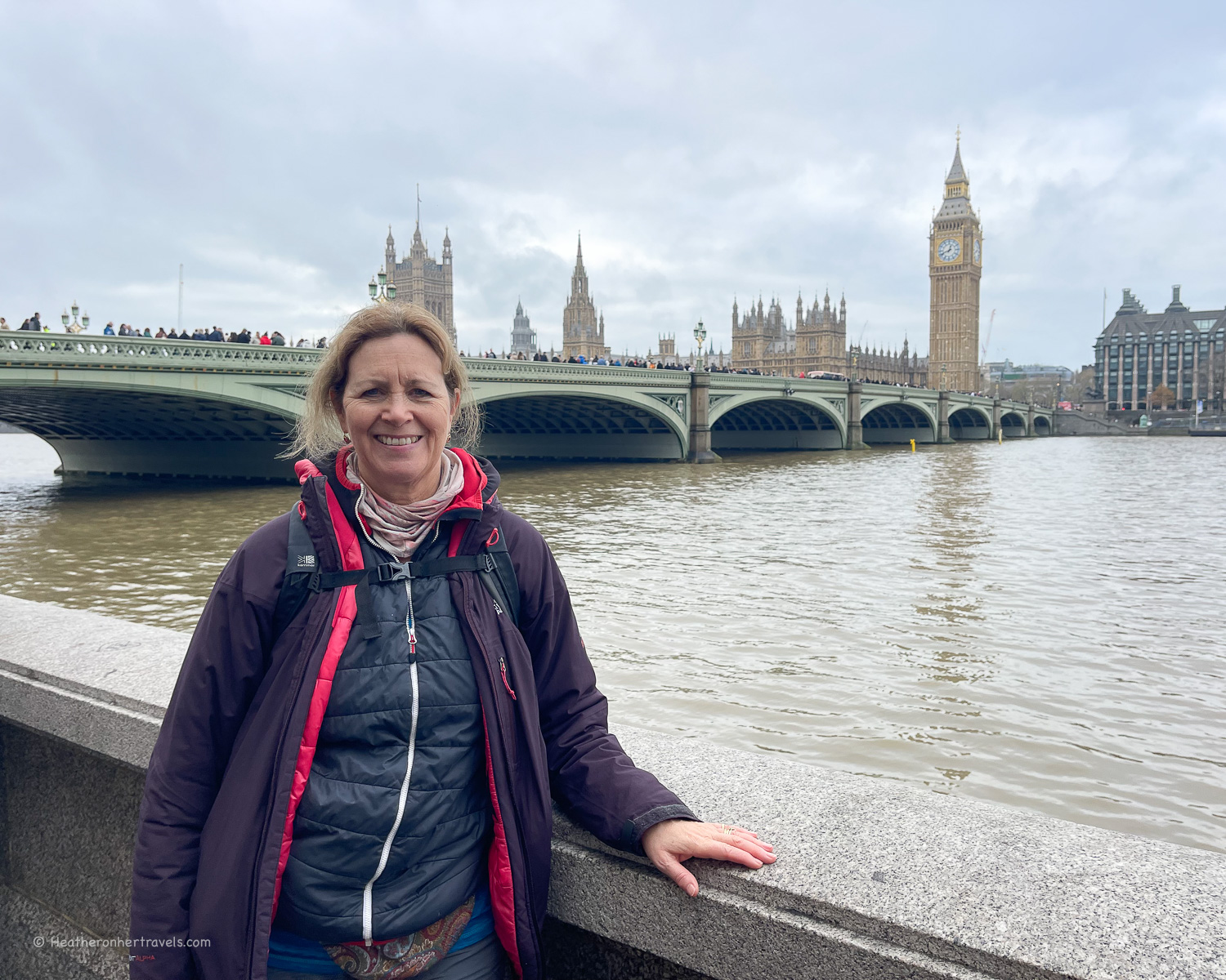
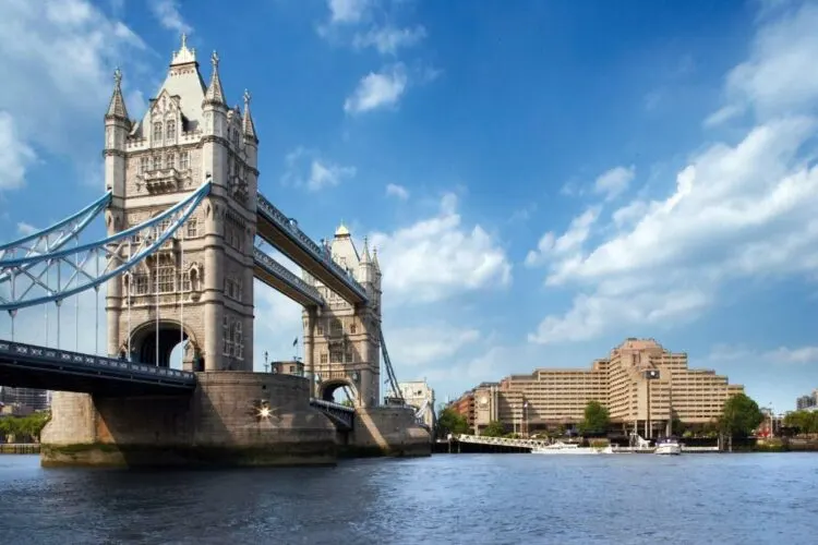
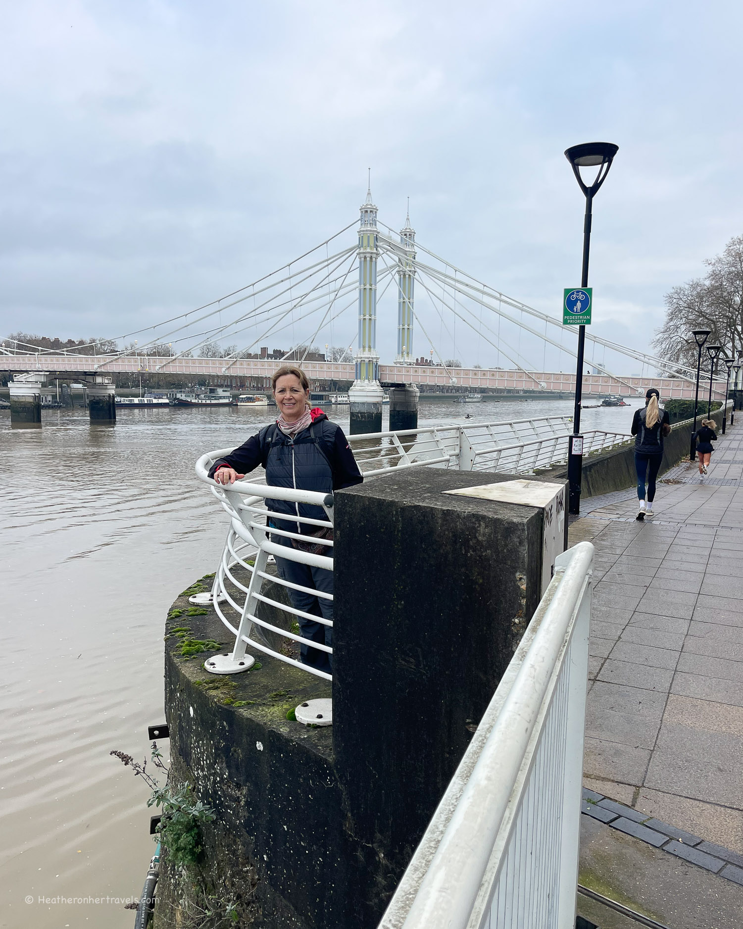
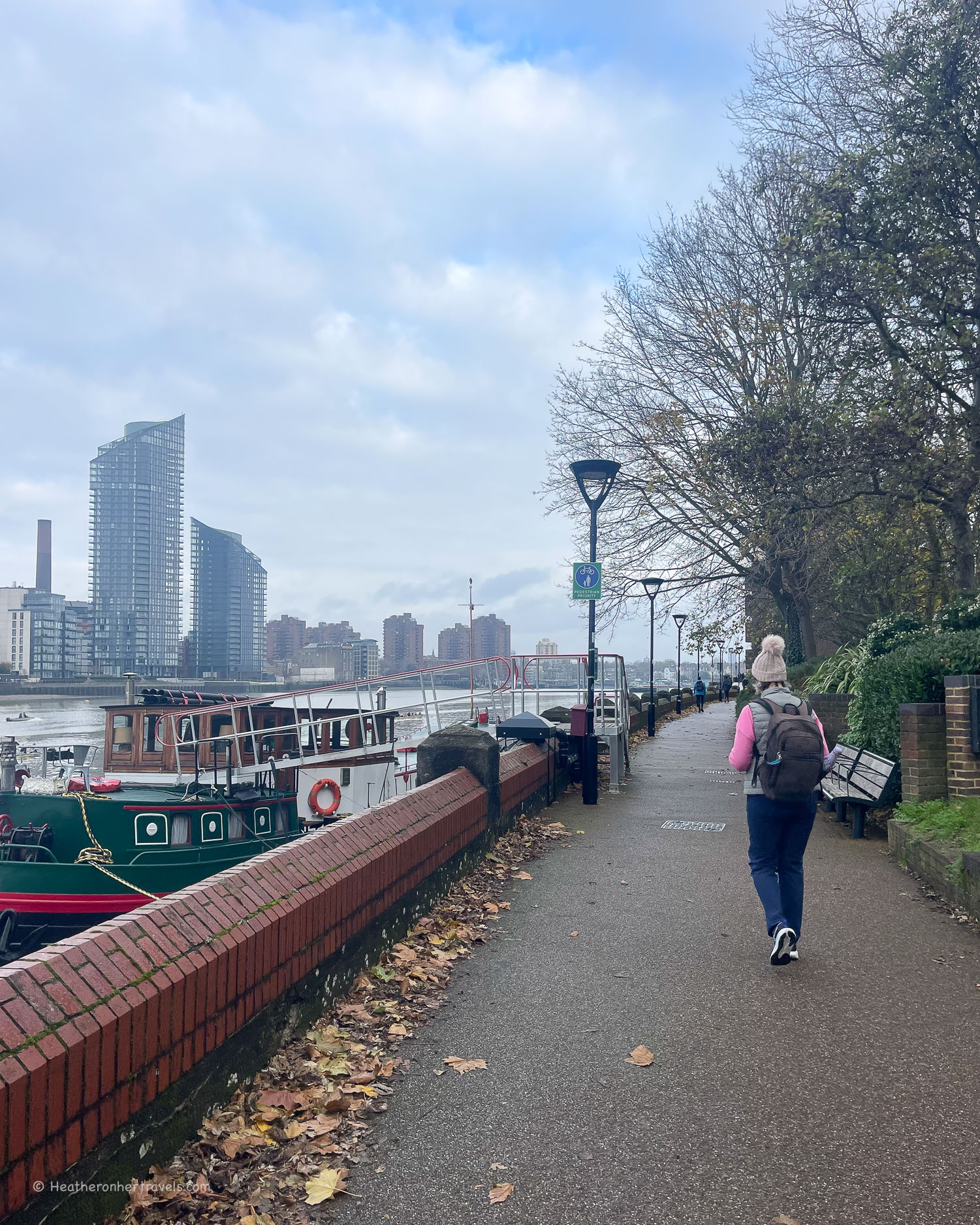
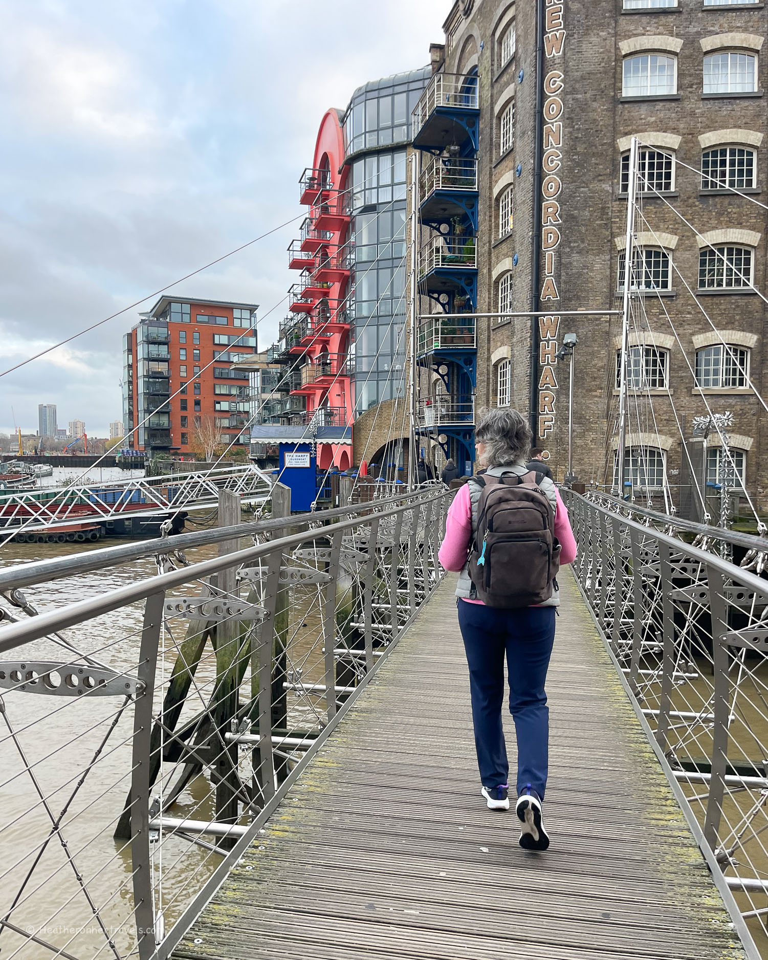
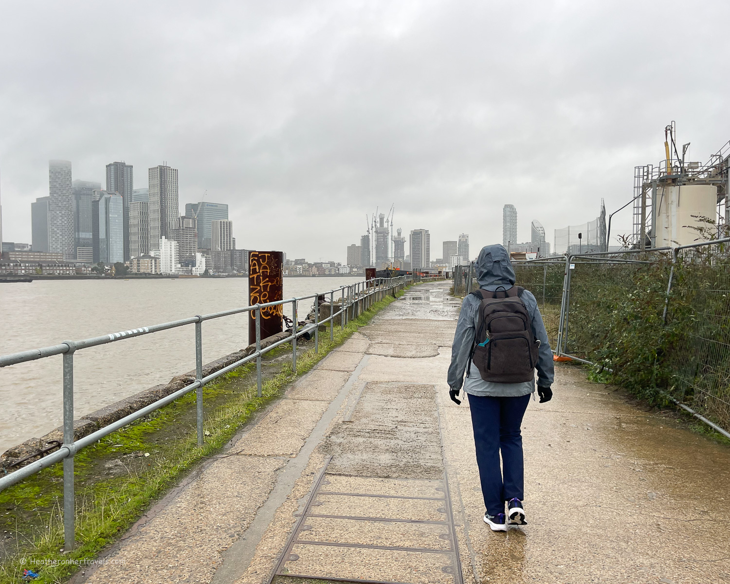
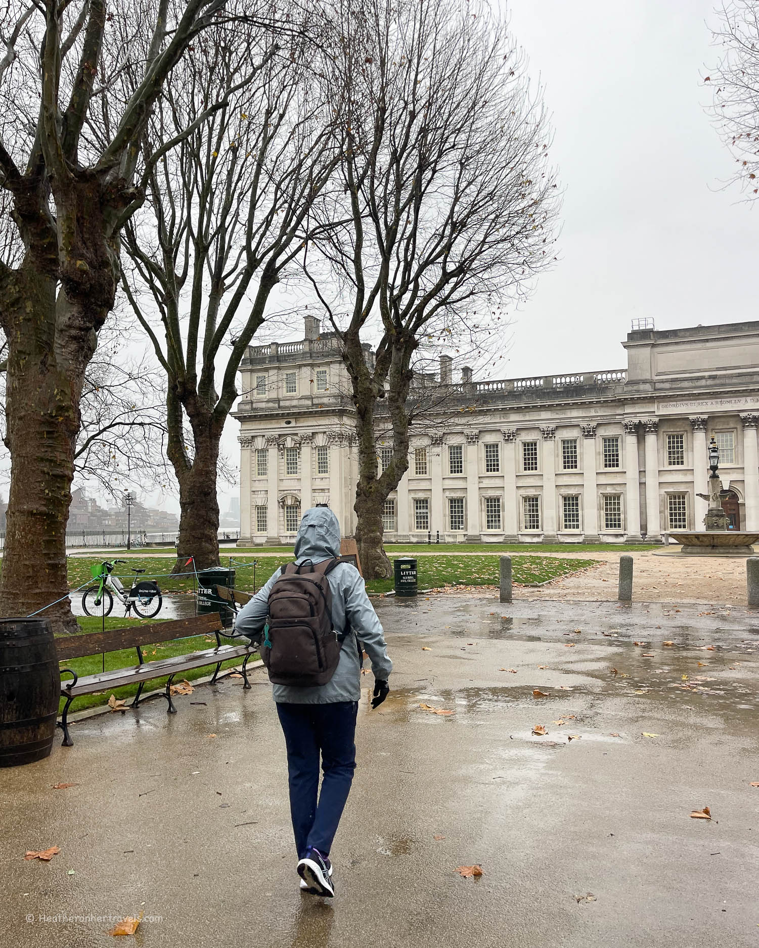
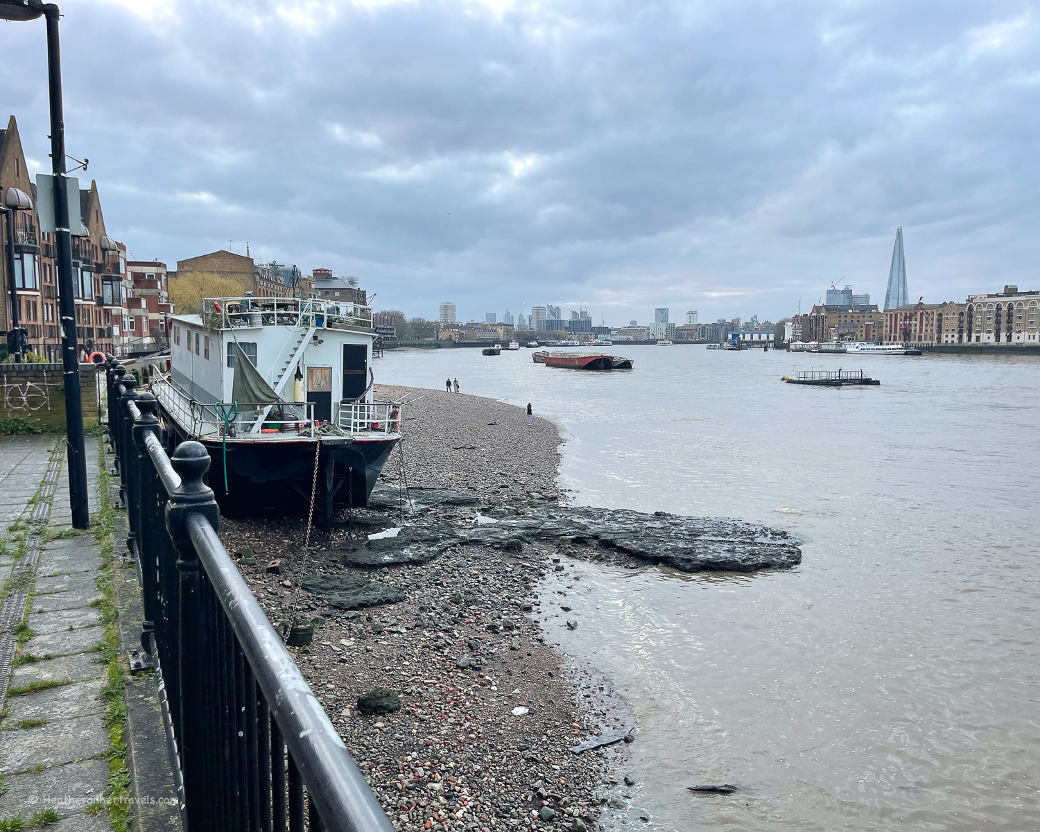
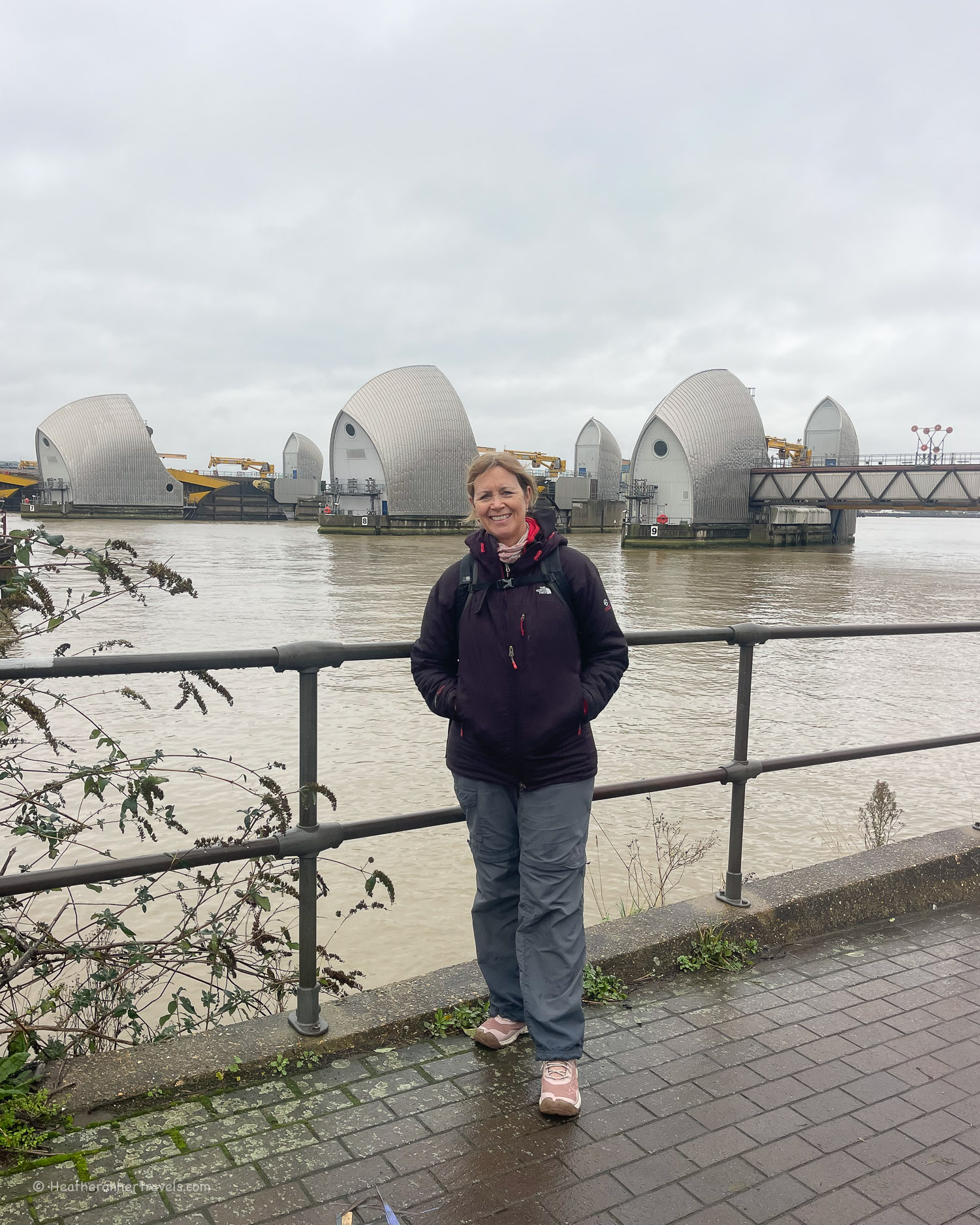
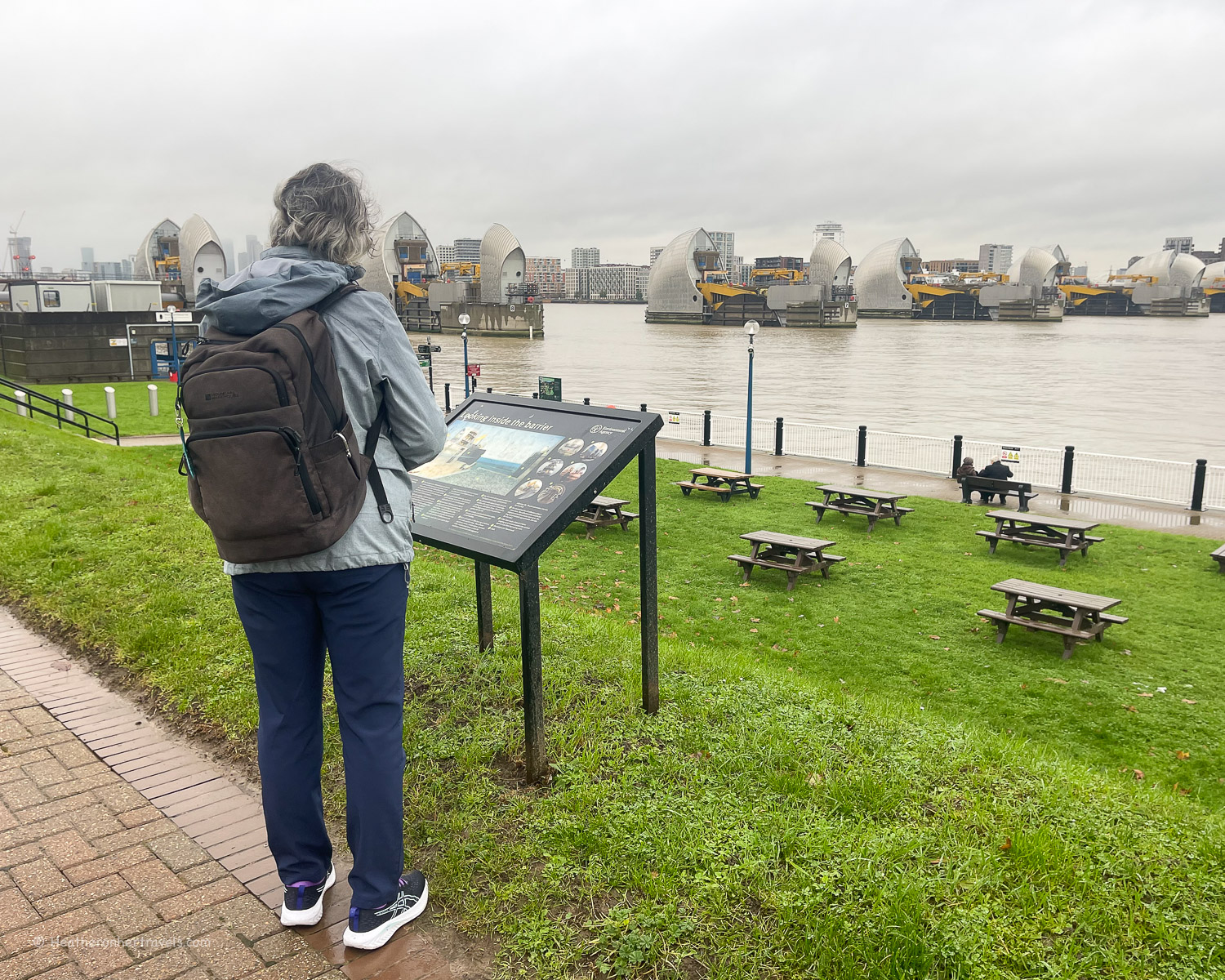
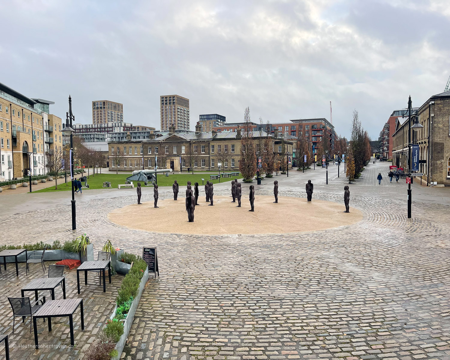
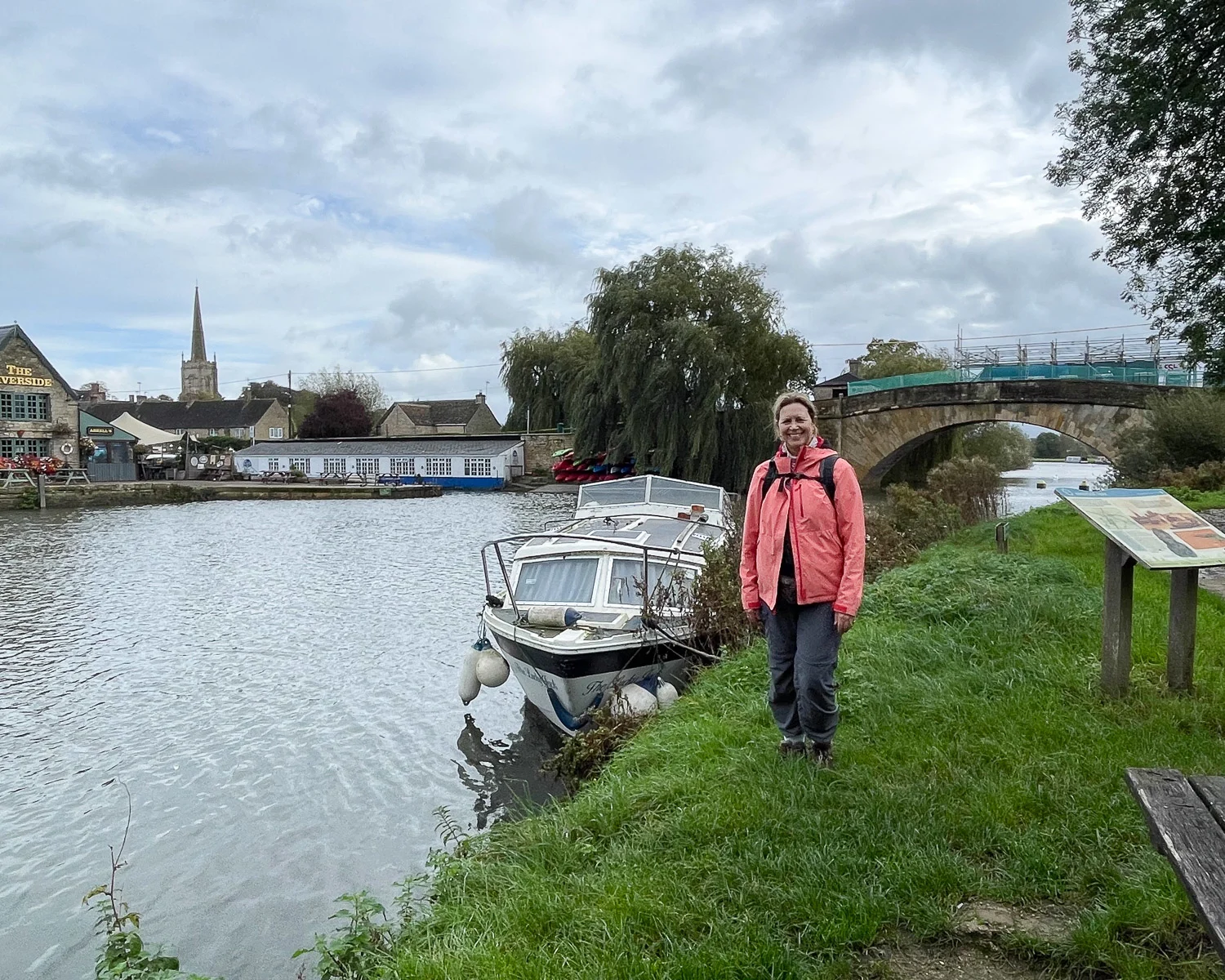
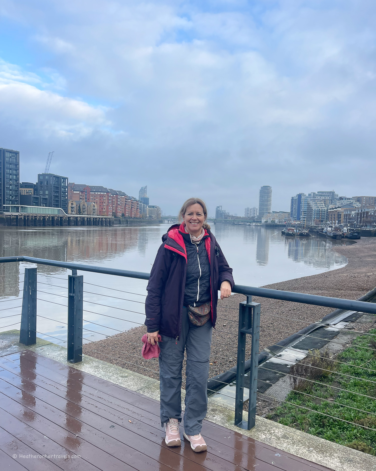
The final section of the walk brings you through the centre of London. You’ll pass through the leafy suburbs of Richmond and Kew, past the historic landmarks of central London, ending in the old industrial area of London’s Docklands at Woolwich.

How difficult is the Thames Path National Trail?
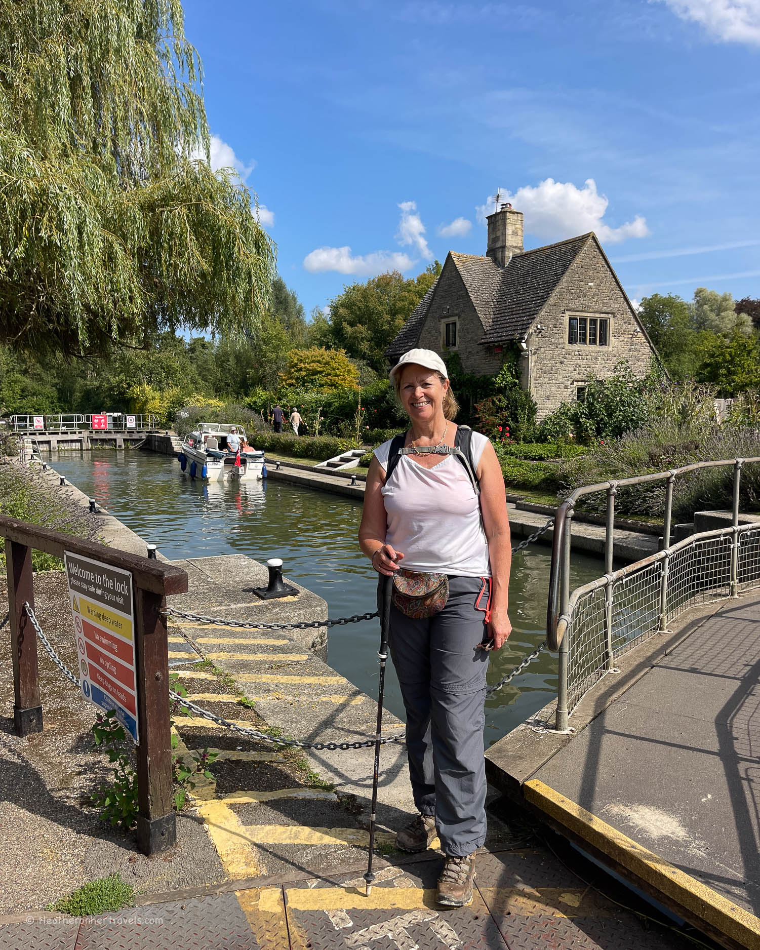
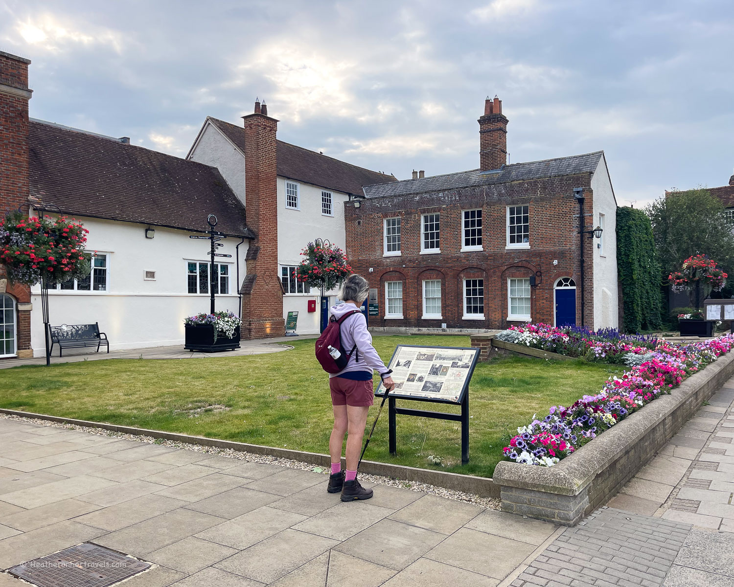
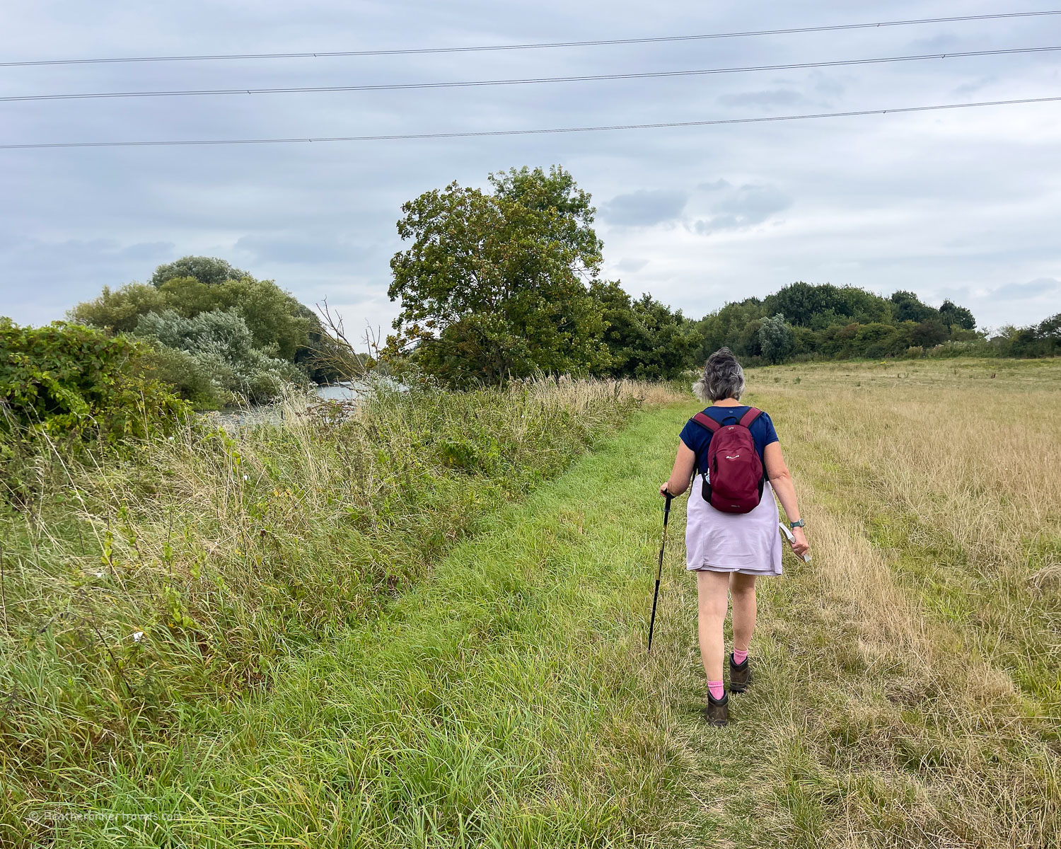
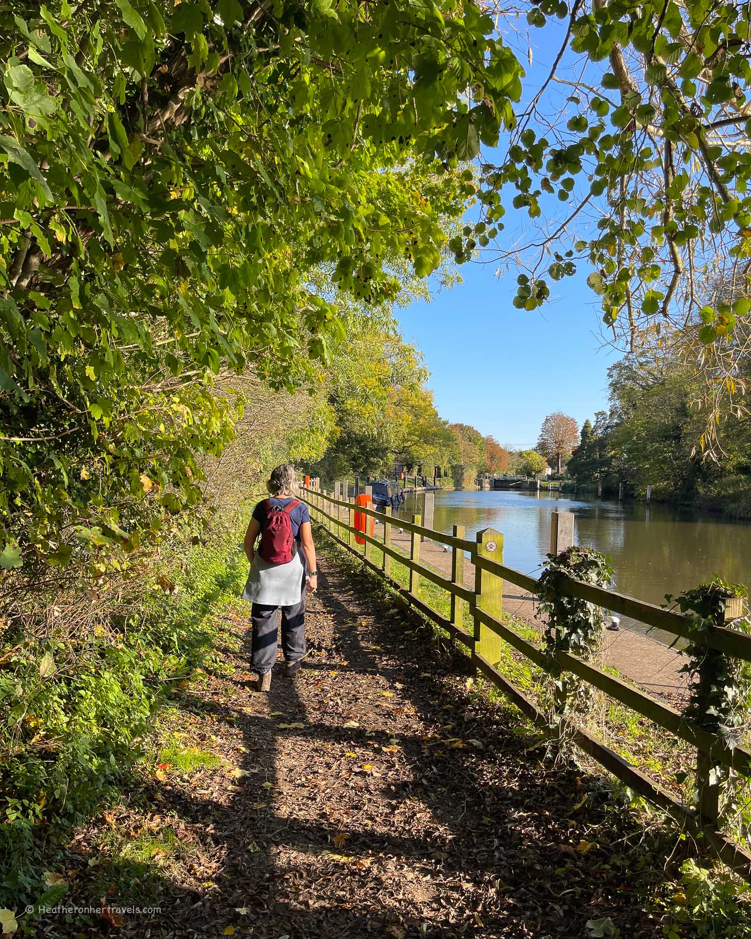
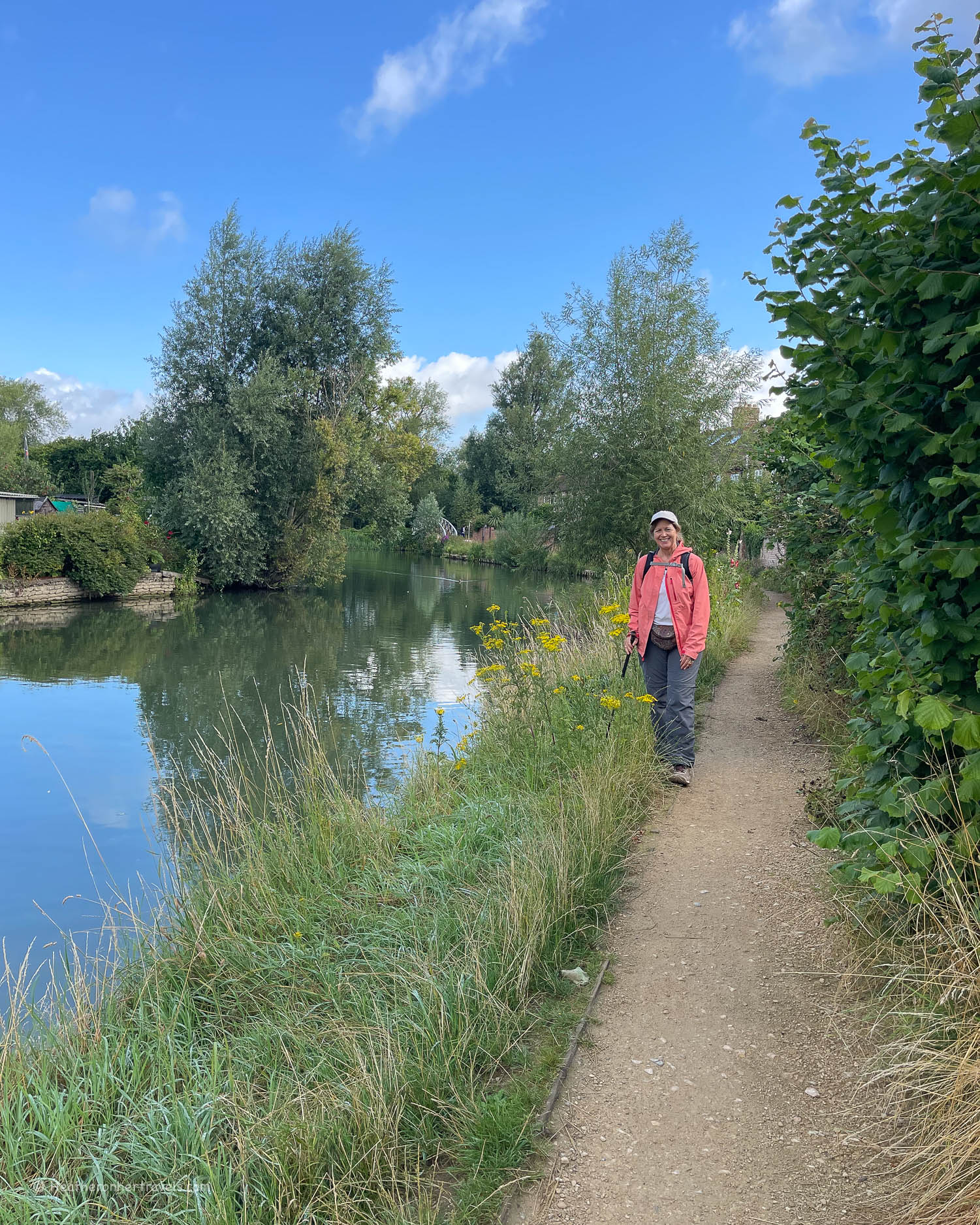
I’d rate the Thames Path as an easy route, but one that’s most enjoyable for all ages and abilities. The Thames Path is well marked in all parts of the route, even the most rural.
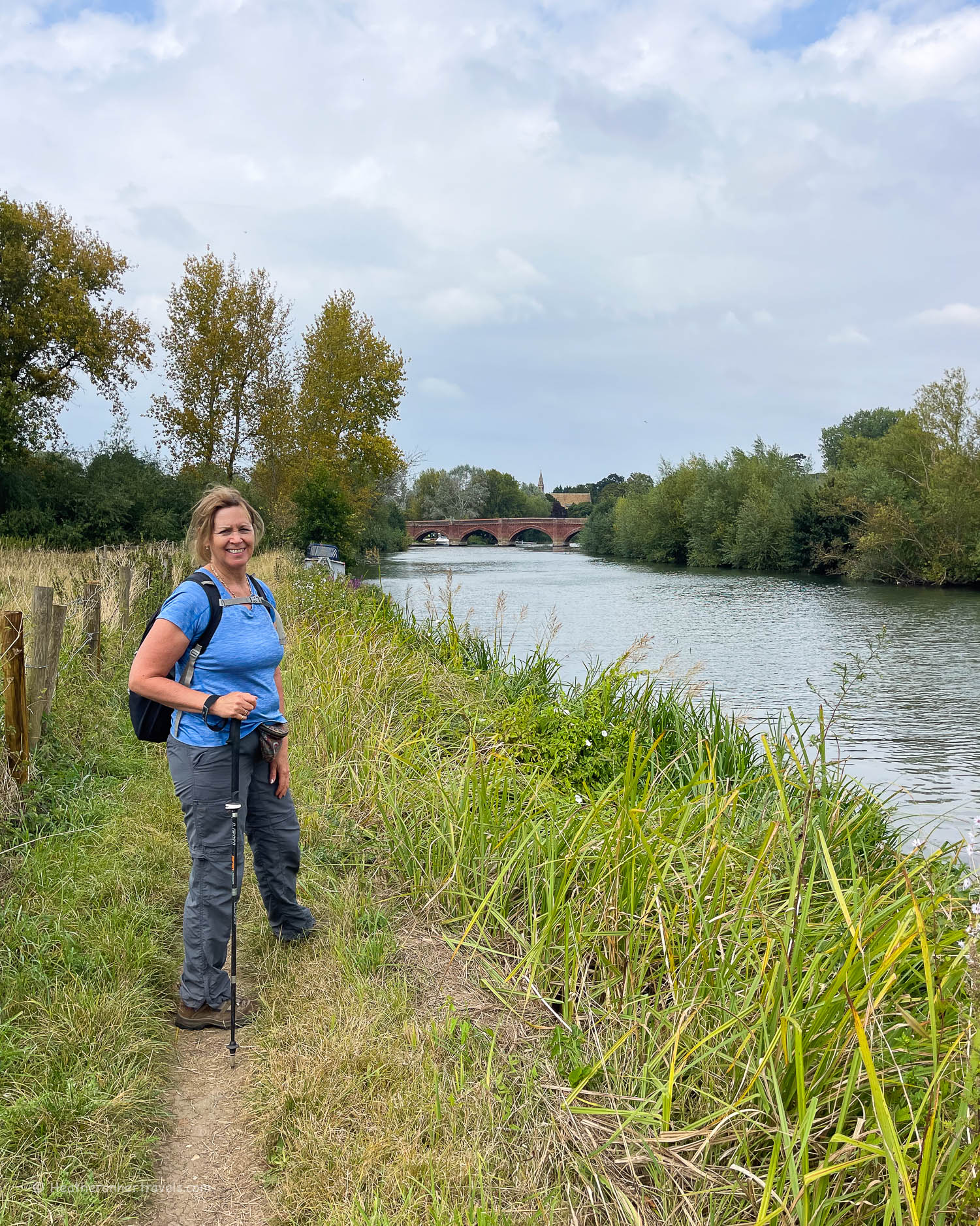
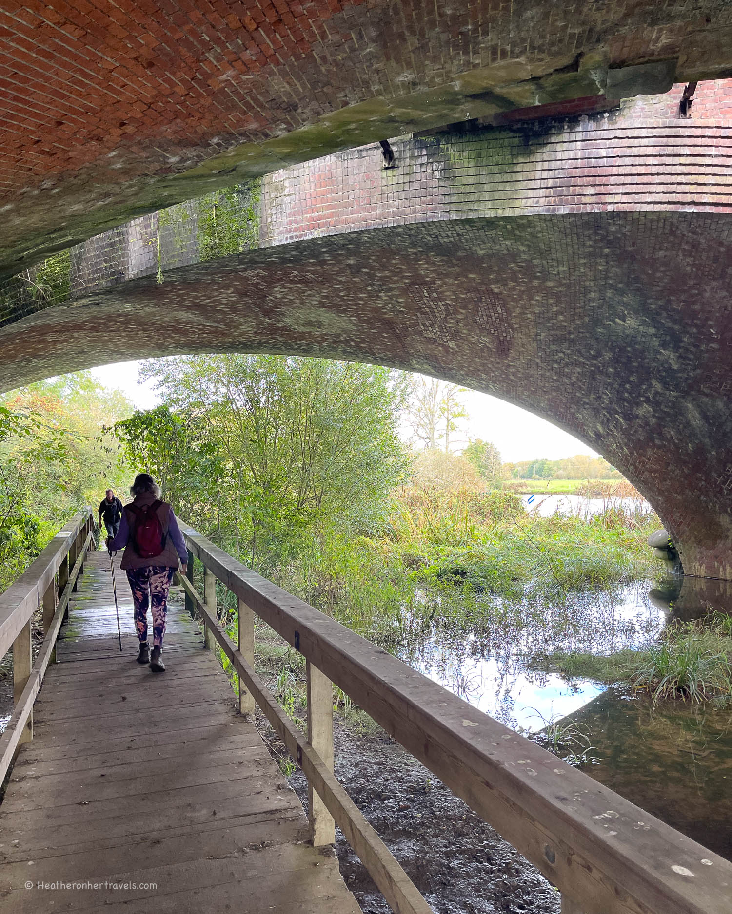
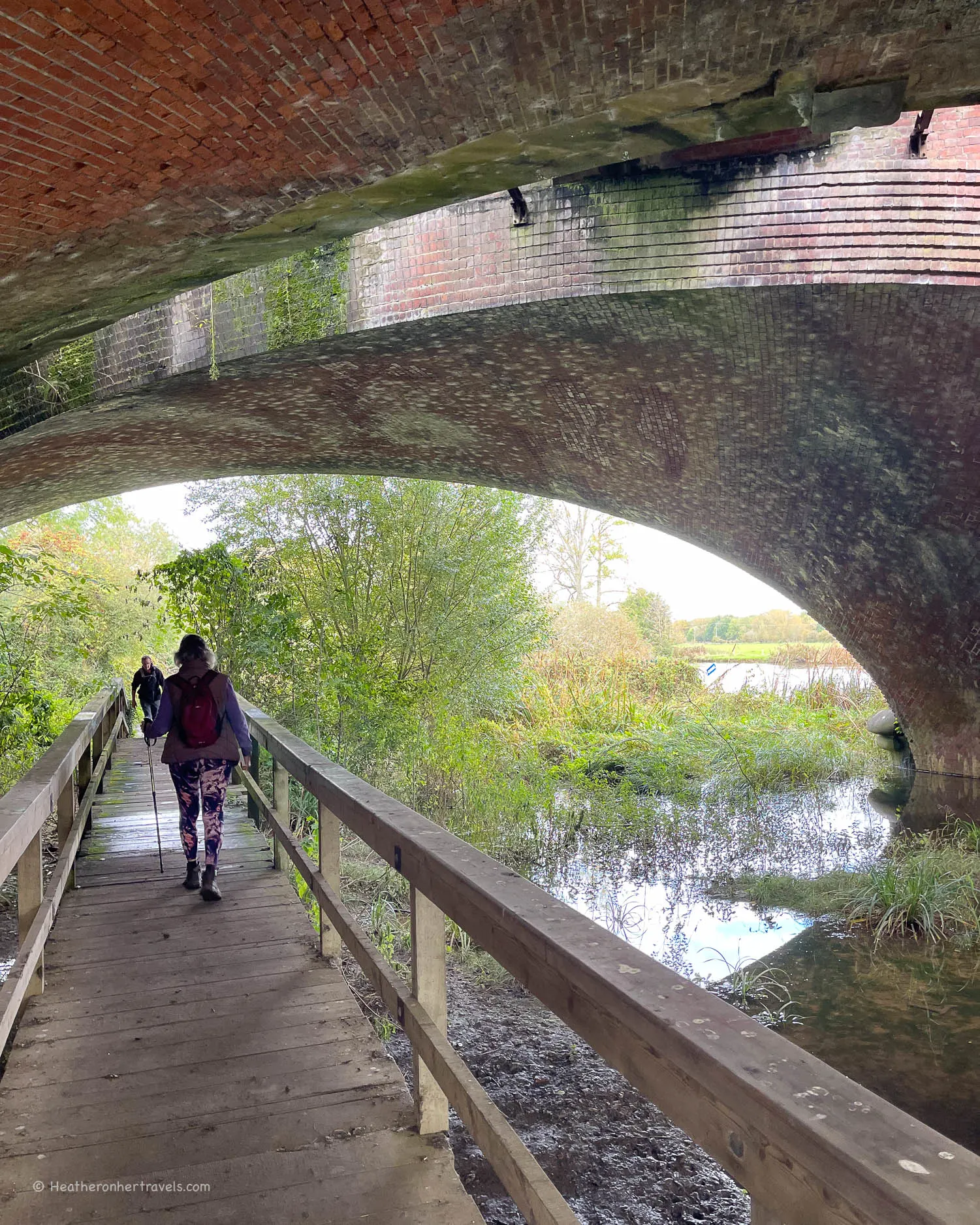
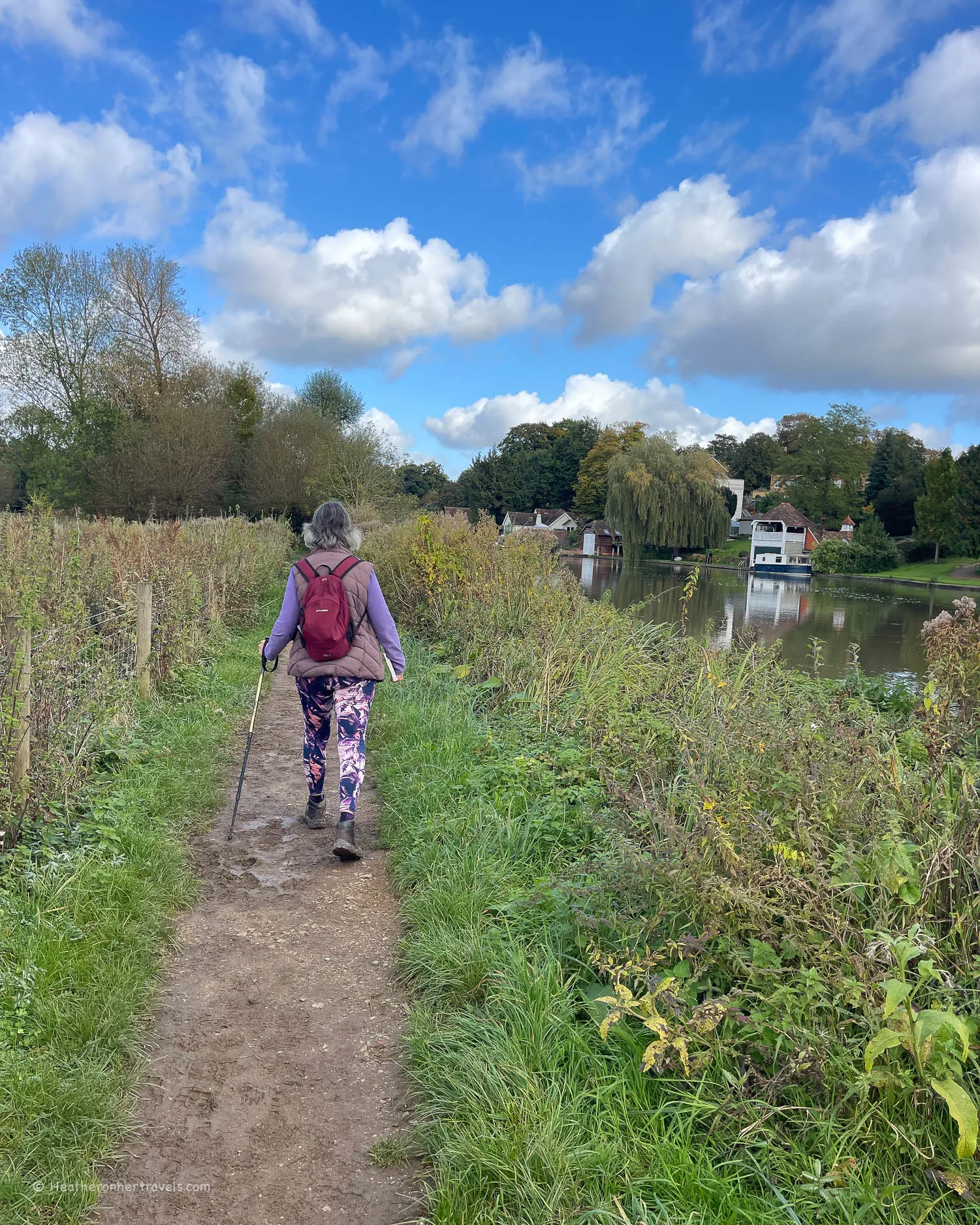
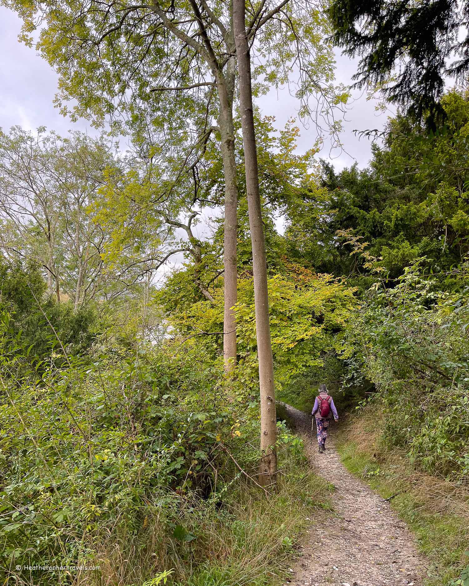
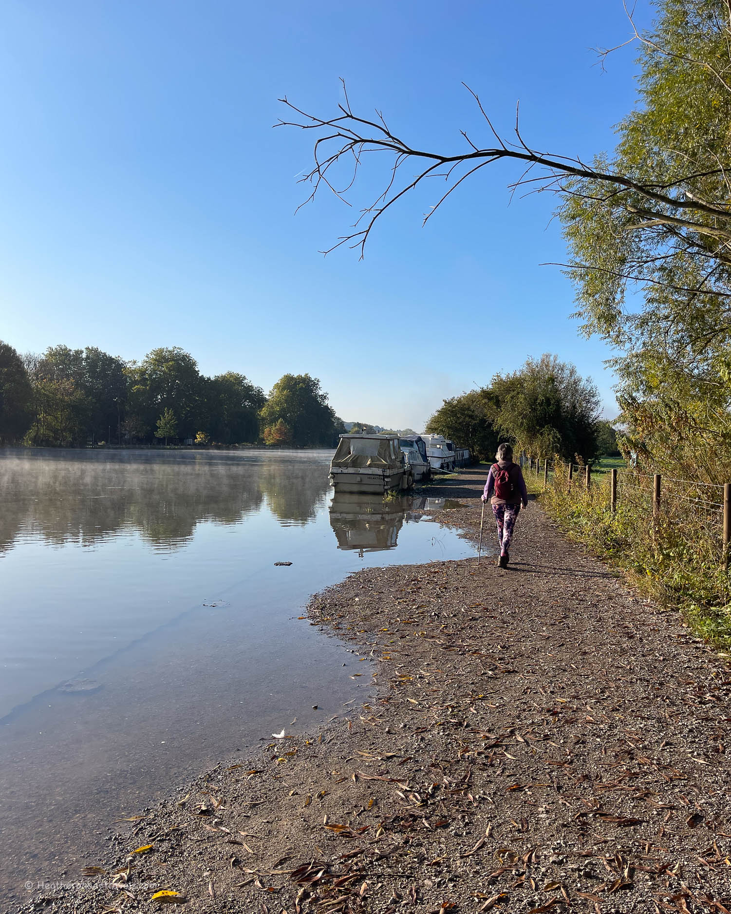
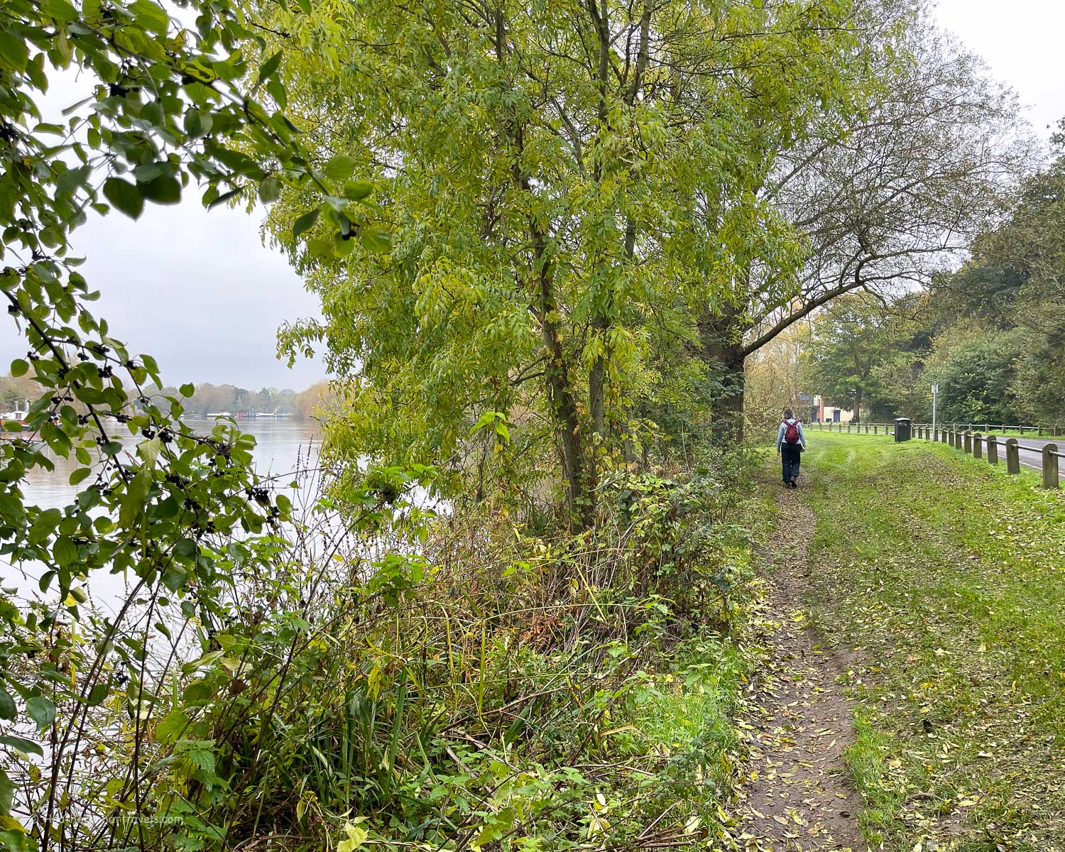
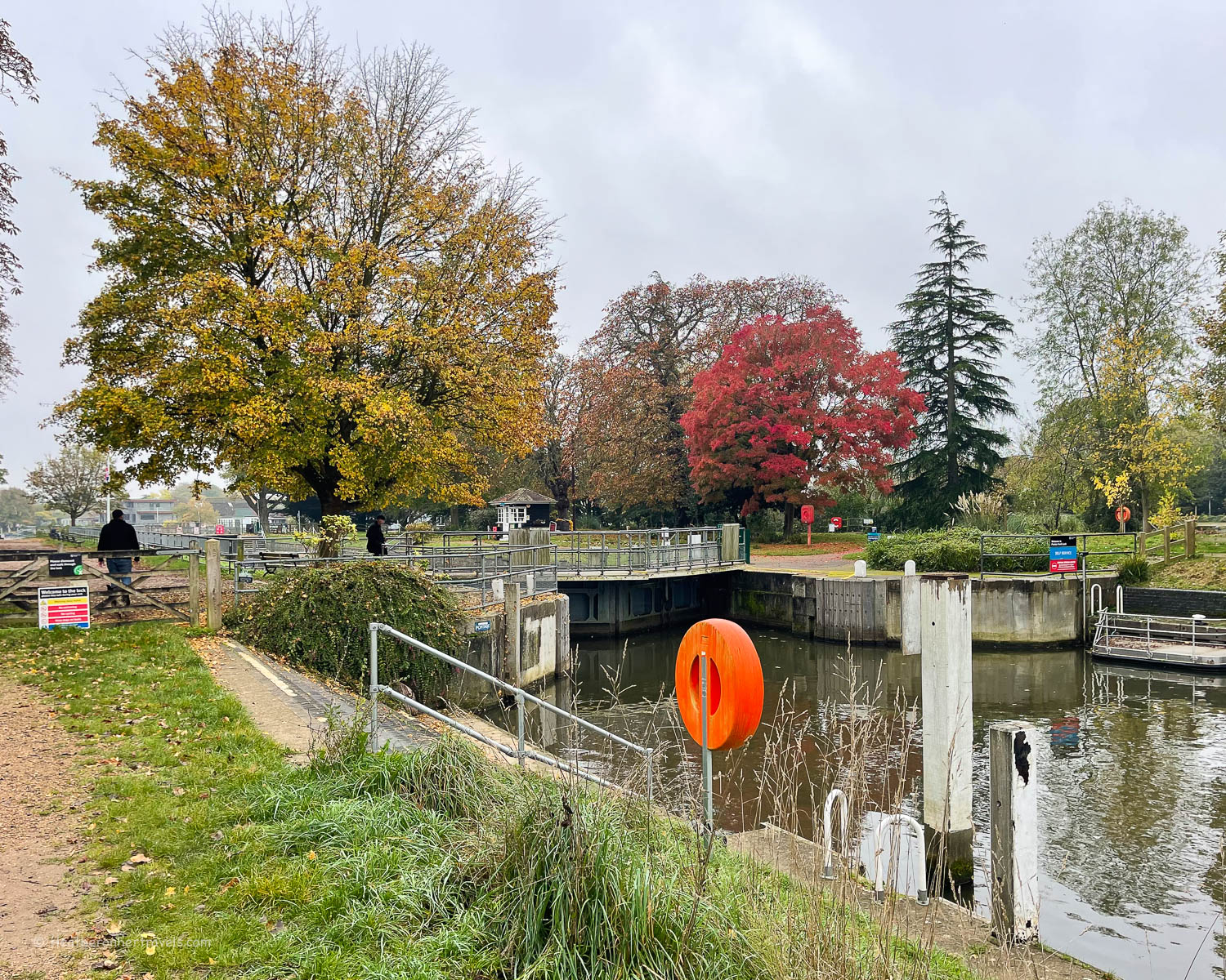
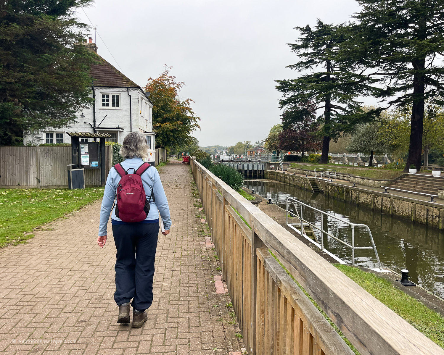
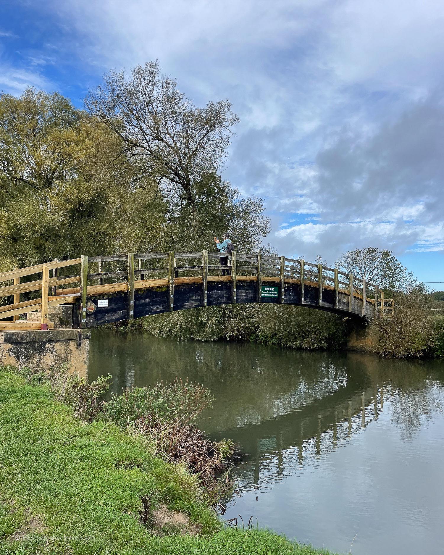
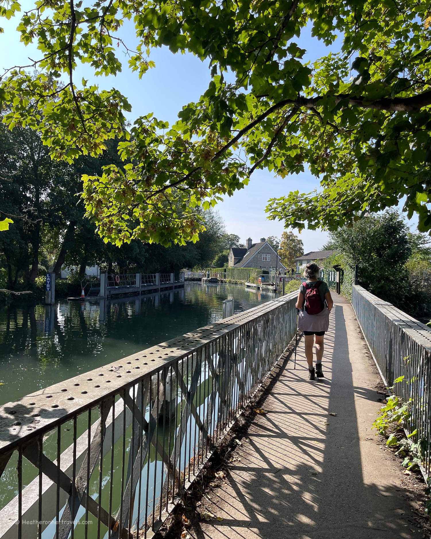
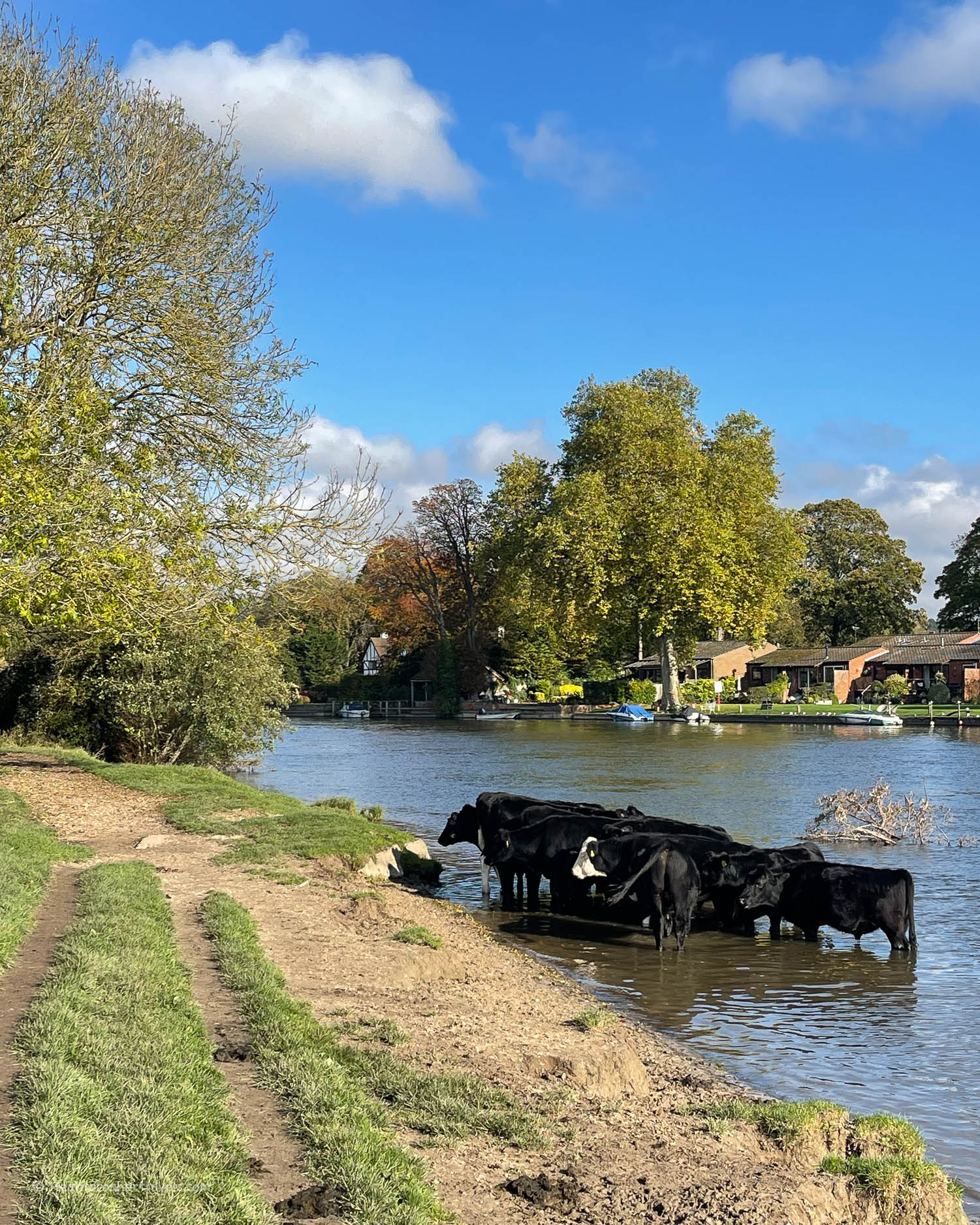
Mostly the path runs alongside the river, so it’s difficult to get lost. The path is flat and varies between rural grass or stone footpaths and, as you get closer to London, paved paths alongside the river.

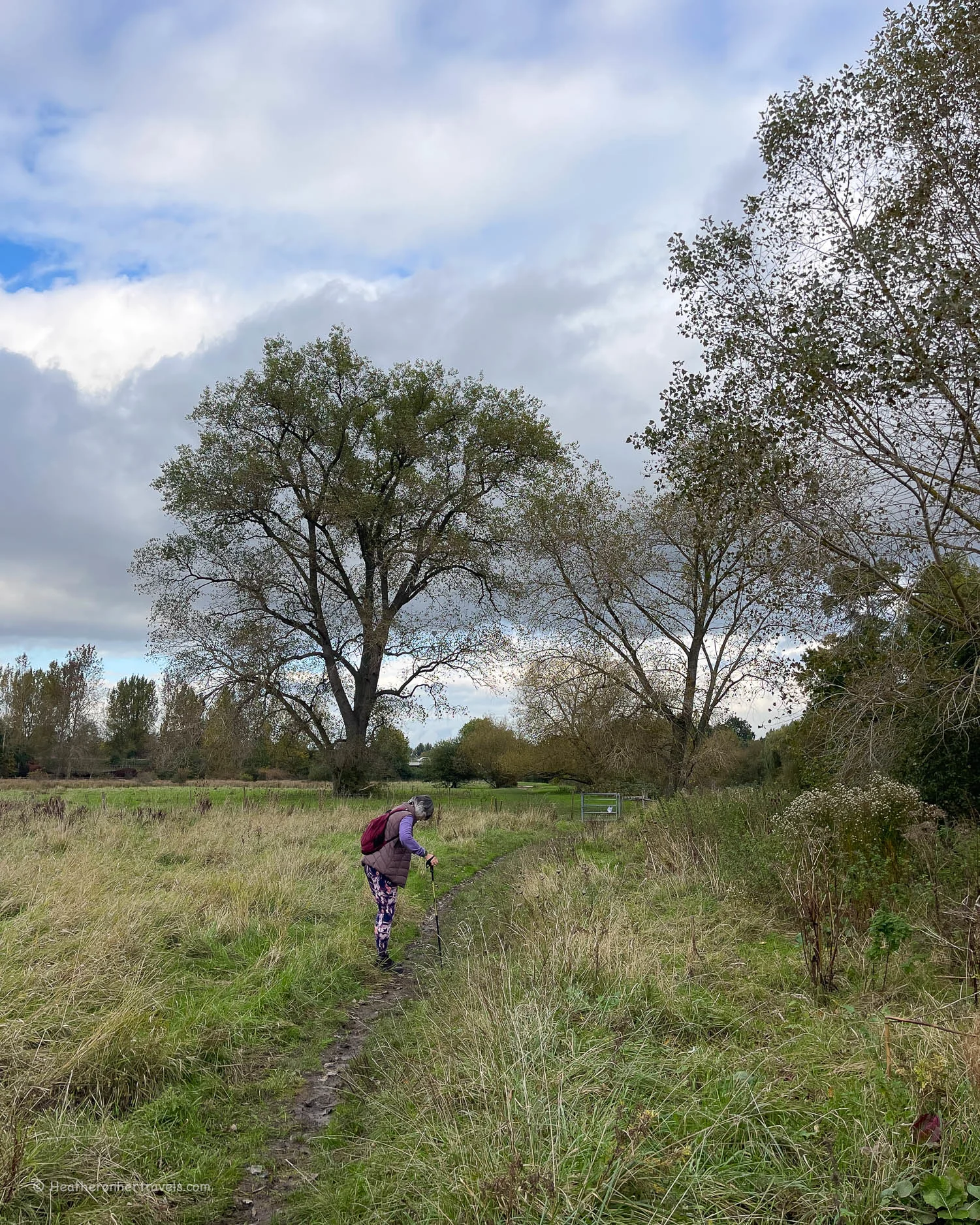
The exception is the first few stages in the Cotswolds that can be muddy and a bit slippery in autumn and winter. If this is a problem, I’d skip sections 1 and 2 from Kemble to Lechlade and start the walk at Lechlade.
The only challenge we found was that a couple of the rural sections between Lechlade and Oxford are quite long, without an obvious place to break the day’s walk. In this case you might have to plan for an early start with only short breaks.
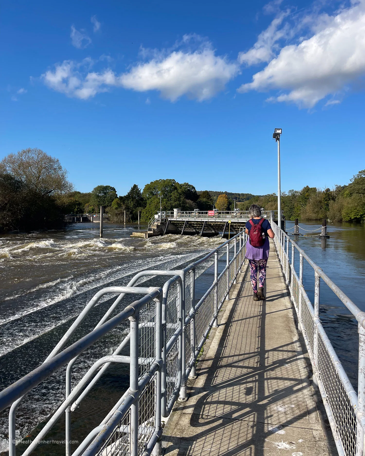
There are also a few sections where footbridges or parts of the path may be closed for repairs (often for months or years at a time). This is an annoyance, but there are always detours in place which may add to length of the walk. Where we encountered these, I’ve explained the options in my more detailed articles about each section of the walk.
Where to stay on The Thames Path Trail
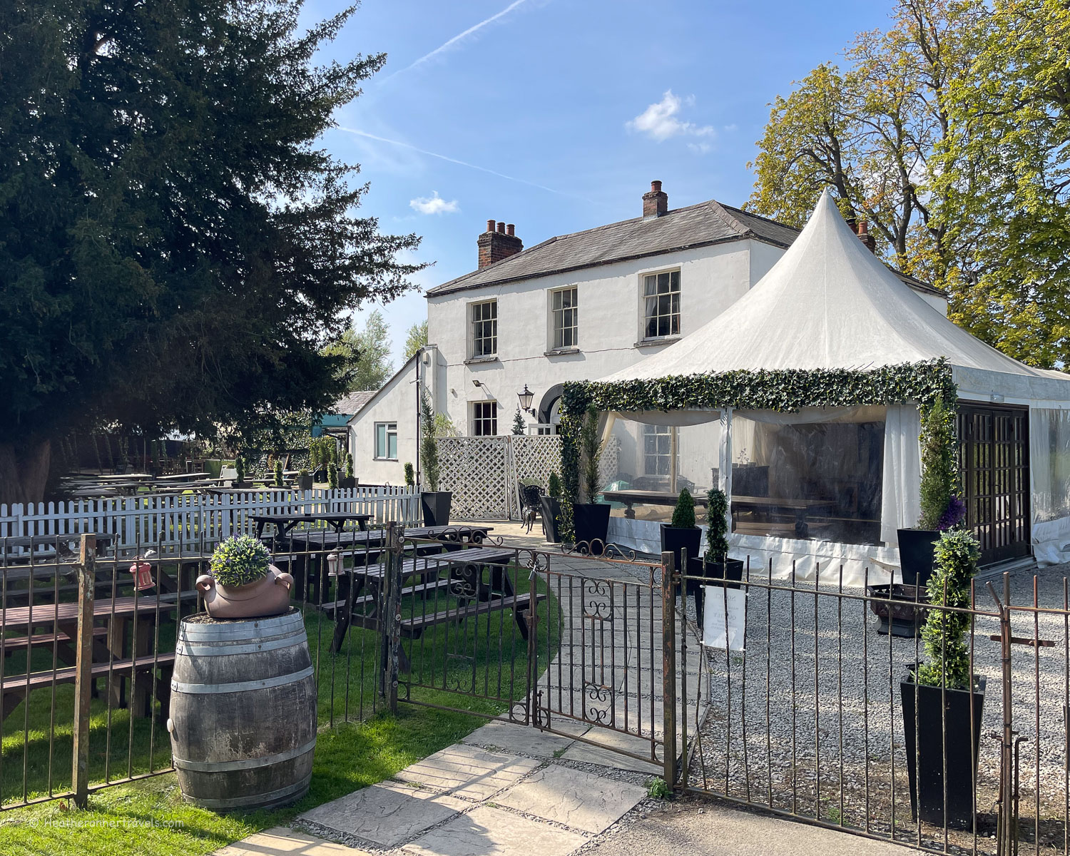
In most of the small towns in the Cotswold sections of the walk, you’ll find a choice of pubs, B&Bs and hotels. We normally stayed in a pub, as they offer modest but comfortable accommodation and reasonably priced food in the evening.

Another great choice for walkers is a B&B, where you’ll normally find a friendly welcome and comfortable, well priced room. However, you’ll need to find a place to eat in the evening and these days breakfast may or may not be included, so check first.
If you prefer something a bit more stylish and luxurious, some of the larger towns and villages have very nice hotels. If you like camping, there are some campsites on the route, but personally I’d rather pay a little more and not have to carry all the kit.
I use Booking.com to book hotels, as it’s easy to see all information about the hotels and keep track of the bookings, as well as obtain their Genius discounts if you’re a regular user. You can also find all the places we stayed on Expedia if that’s your preference.
We didn’t find any hostels along the trail, although once you reach the London sections of the route, these may be a short bus or train ride away. A couple of the more rural stretches of the trail only have one or two options for accommodation, in which case you’ll need to book up in advance.
List of recommended accommodation for each day
Here’s our list of recommended places to stay at the end of each day’s walk, and you can find more options in the relevant articles.
What to wear on the Thames Path Trail
The trail is mostly easy and flat, so if walking short sections of the trail you don’t need any special clothing. However as we wanted to be comfortable for full day walks in all weathers here’s what we used.

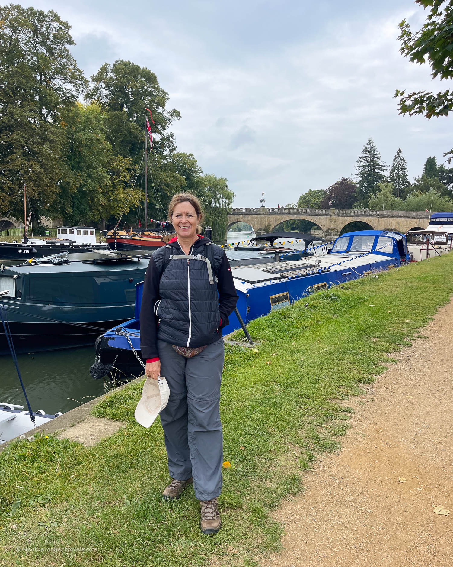
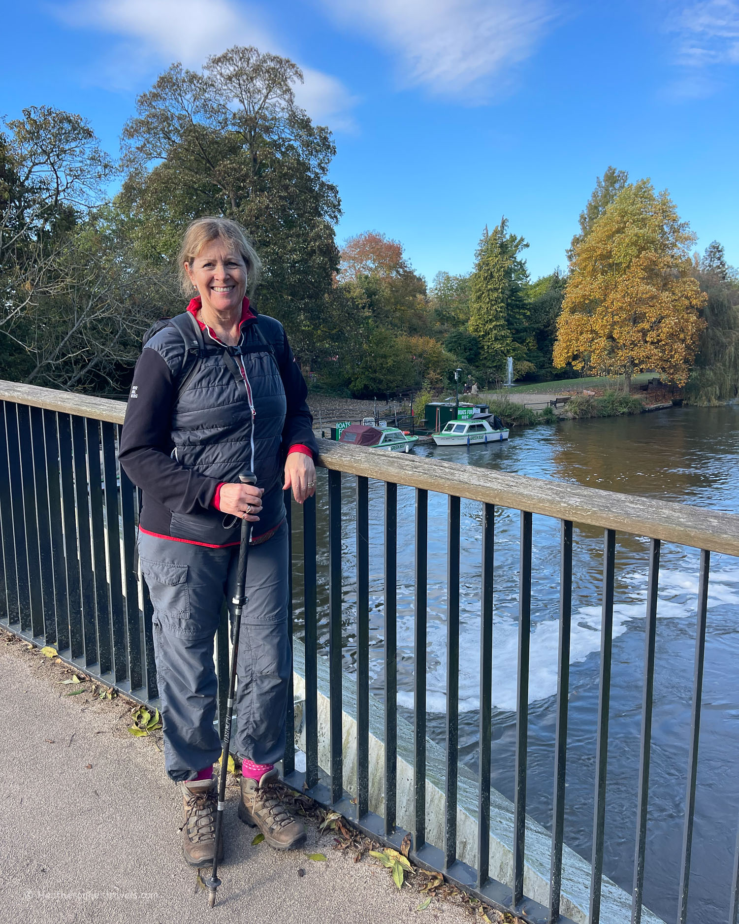
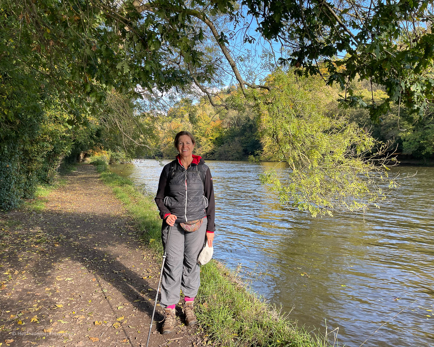
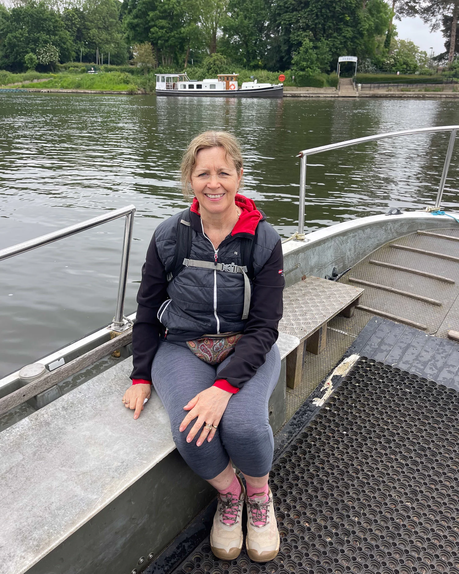
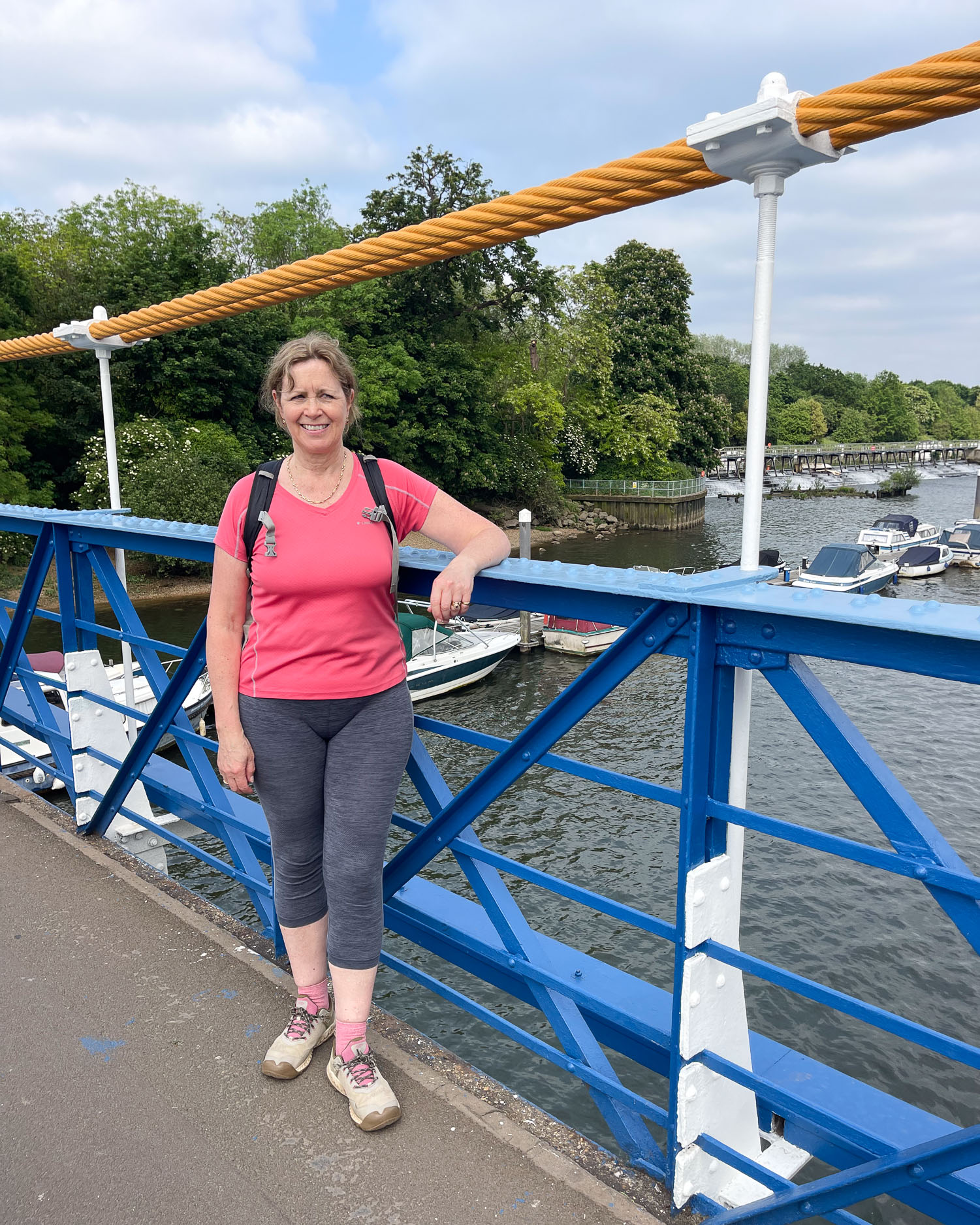
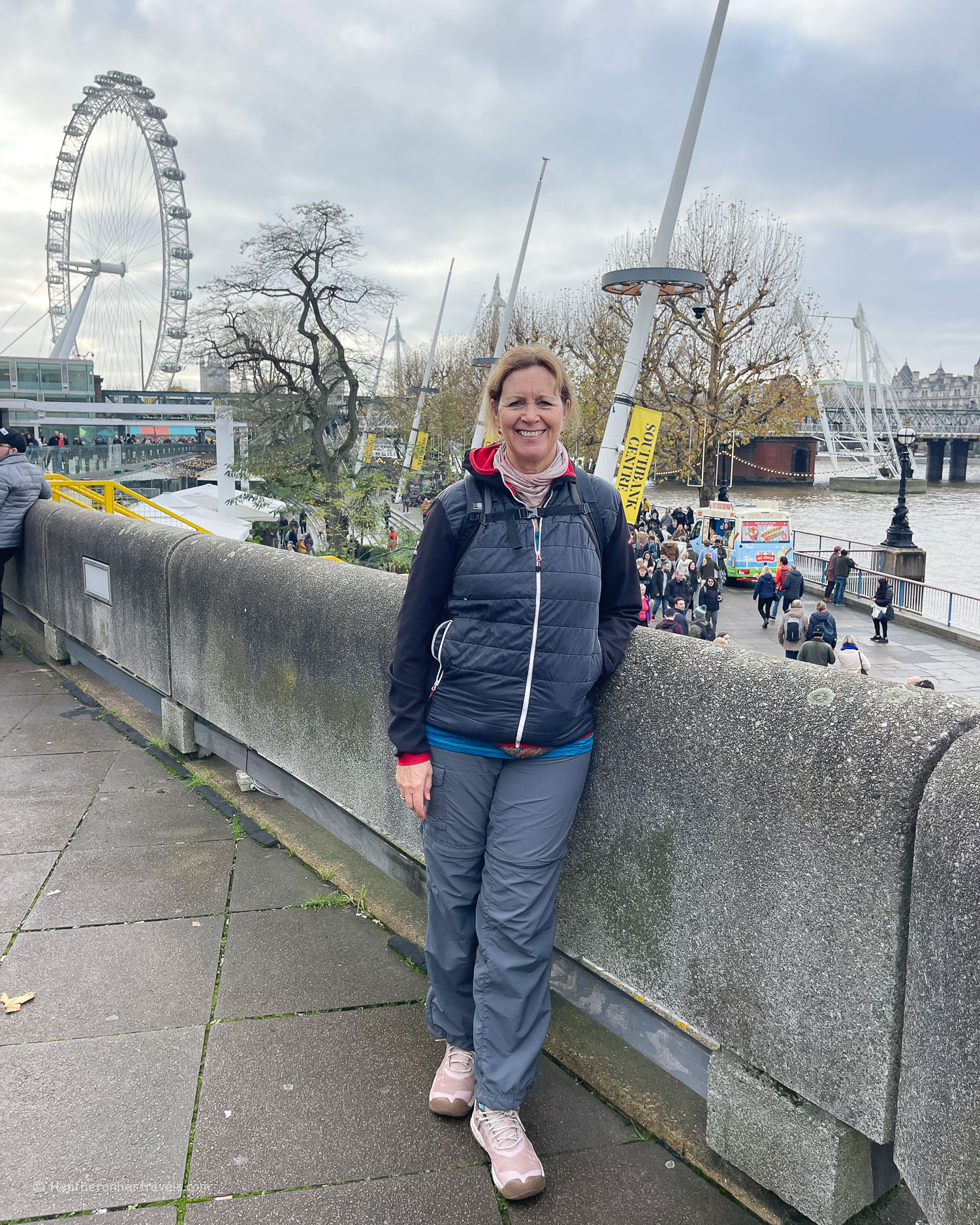
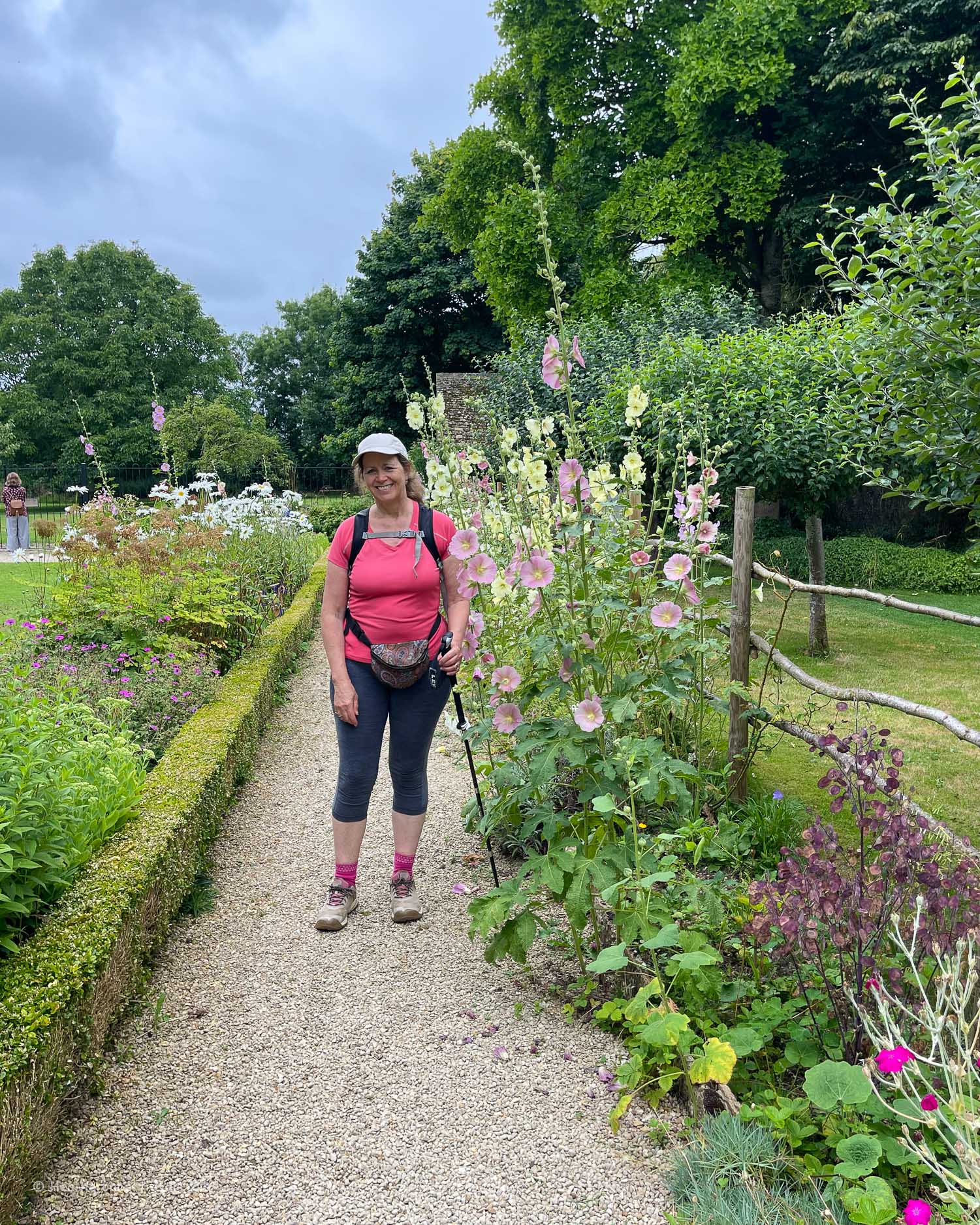
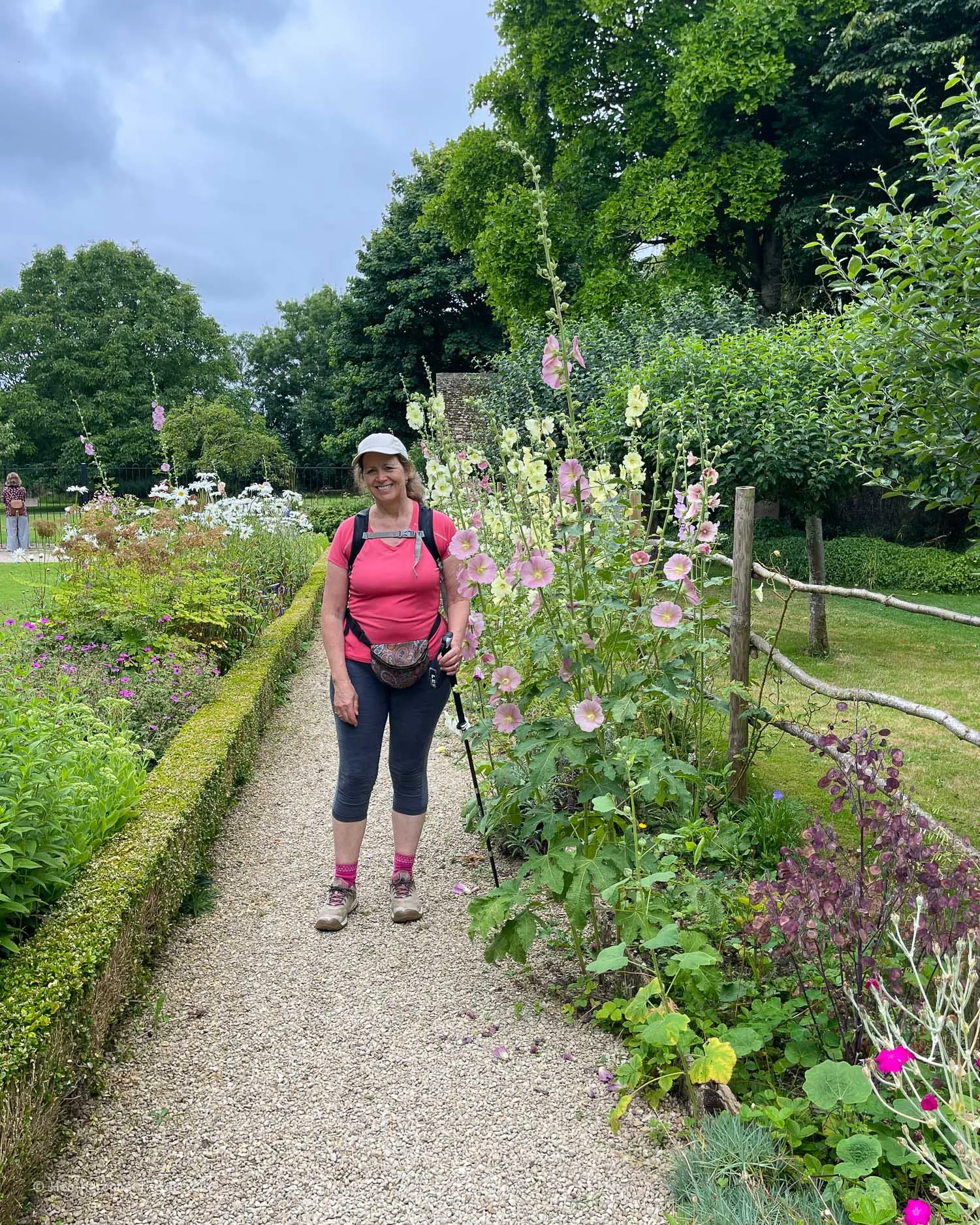
- Hiking boots, hiking shoes or supportive trainers – the more rural sections of the walk can get muddy or even waterlogged outside the summer months. My favourite hiking shoes are from Keen as I find their wide toe-bed very comfortable and I’d recommend the Keen Targhee or Nxis Evo hiking shoes for this kind of trail.
- Quick drying walking trousers, leggings or shorts. Avoid materials like denim or heavy cotton that won’t easily dry after a rain shower.
- T-shirts that are comfortable and breathable – I usually wear a sports t-shirt.

- A necker like the ones from Buff guards against chills around the neck in Spring and Autumn and can also double up as a beanie style hat. A hat for either cold weather or to shade against the sun like this sports cap is also useful.
Packing for the Thames Path Trail
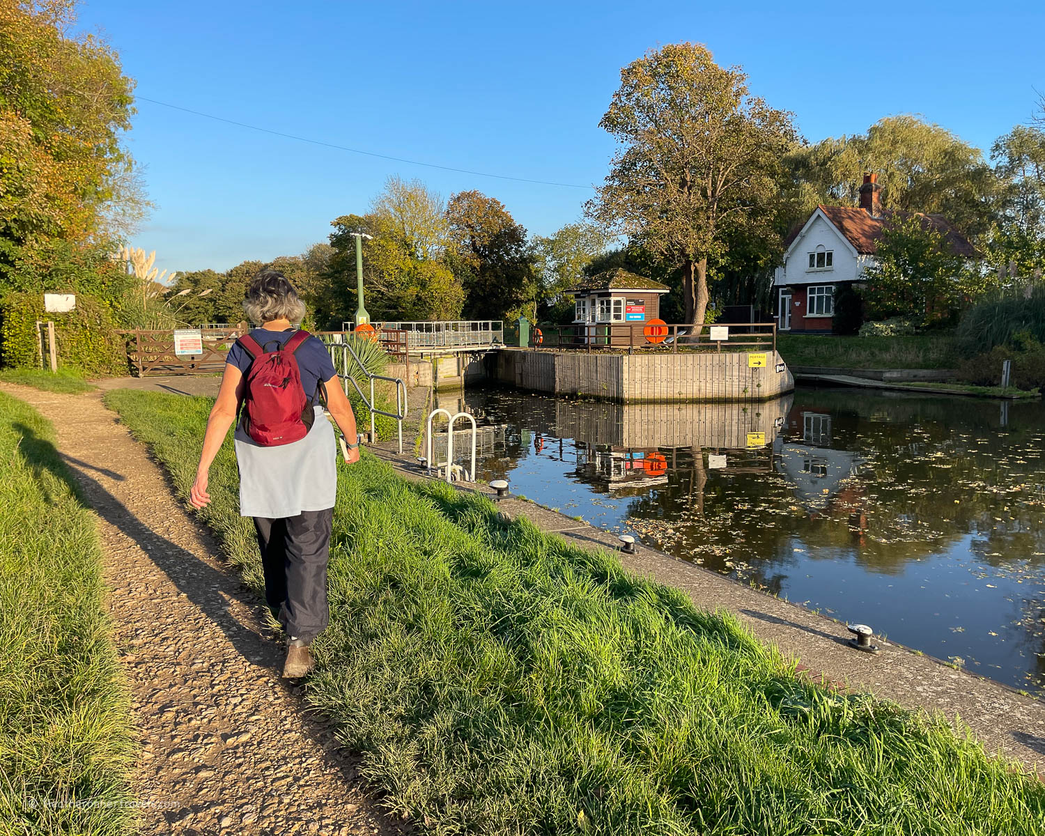
If walking just a day at a time, where you can leave most of your luggage in a car or hotel, you’ll need a day sack. I find 15 – 20 Litres is about the right size for me, like this Osprey Hikelite 18L day sack.
If you are walking for several days at a time from hotel to hotel, you’ll need a slightly larger rucksack to accommodate overnight clothes. In this case I’d recommend a 25 – 30L rucksack like the Osprey Hikelite 26L rucksack.
In my day sack I normally pack;
- Tissues / wet wipes / a small amount of toilet paper
- A small home made first aid kit with plasters and basic medication
- The Thames Path National Trail guide book
- A few reuseable ziplock bags for picnics and other small items
- Water bottles – I don’t have a special water bottle but instead have several 500ml plastic water bottles which I refill and re-use, then recycle once beyond reuse. For this walk I carried 3 x 500ml water bottles as there were plenty of places to fill up along the route.
- Picnic items and snacks – these can easily be purchased in a convenience store at the start of each day.
- A spare pair of socks in case your feet get soaked
- My lightweight fleece and waterproof jacket are stored in my backpack when not worn.
Best time of year to walk the Thames Path National Trail
The optimum months for walking the Thames Path Trail as a whole are May, June and September. These are the months when you’ll find most sunny days and the river and surrounding meadows are less likely to be waterlogged.
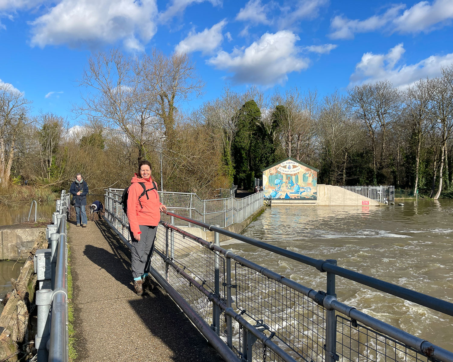
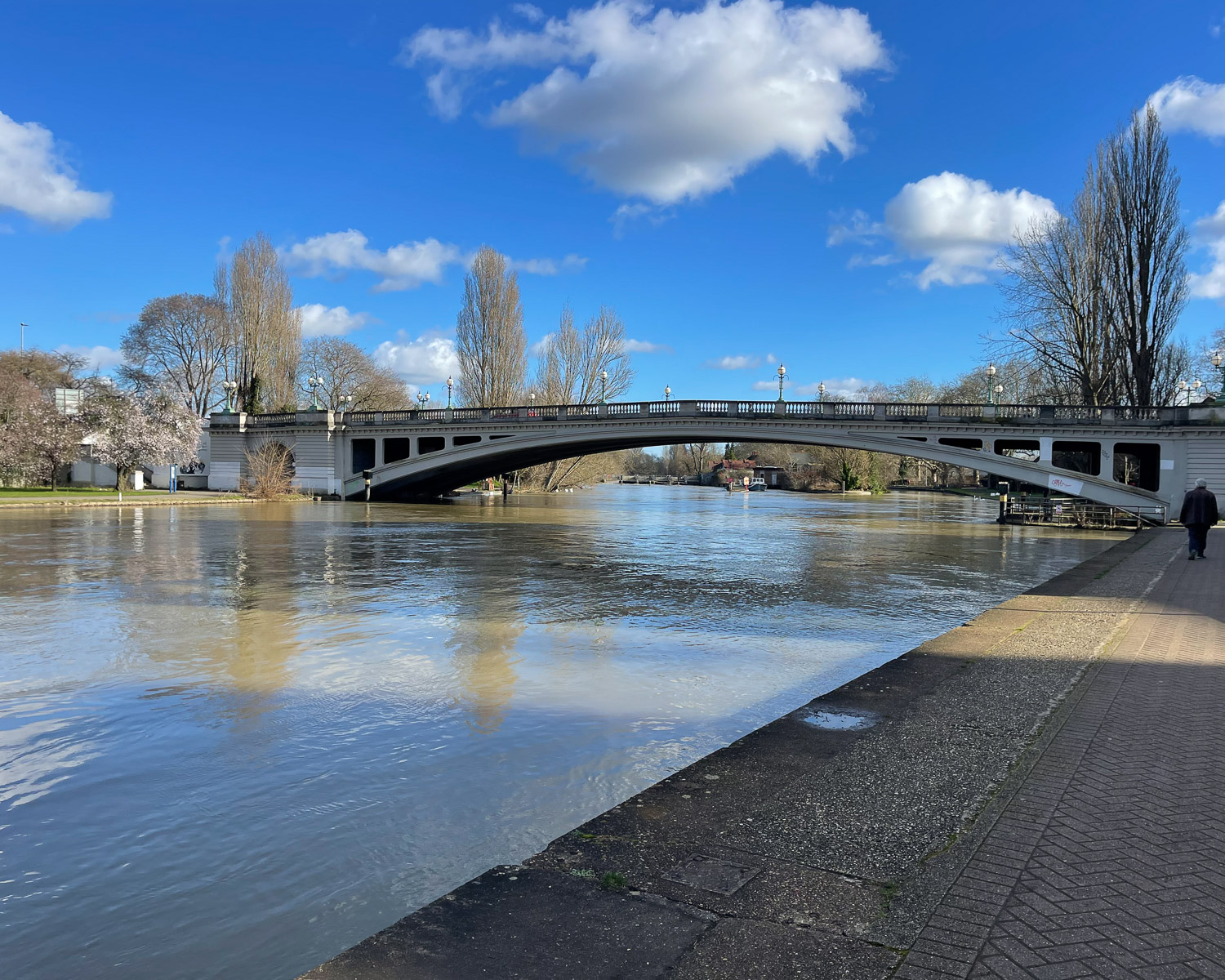
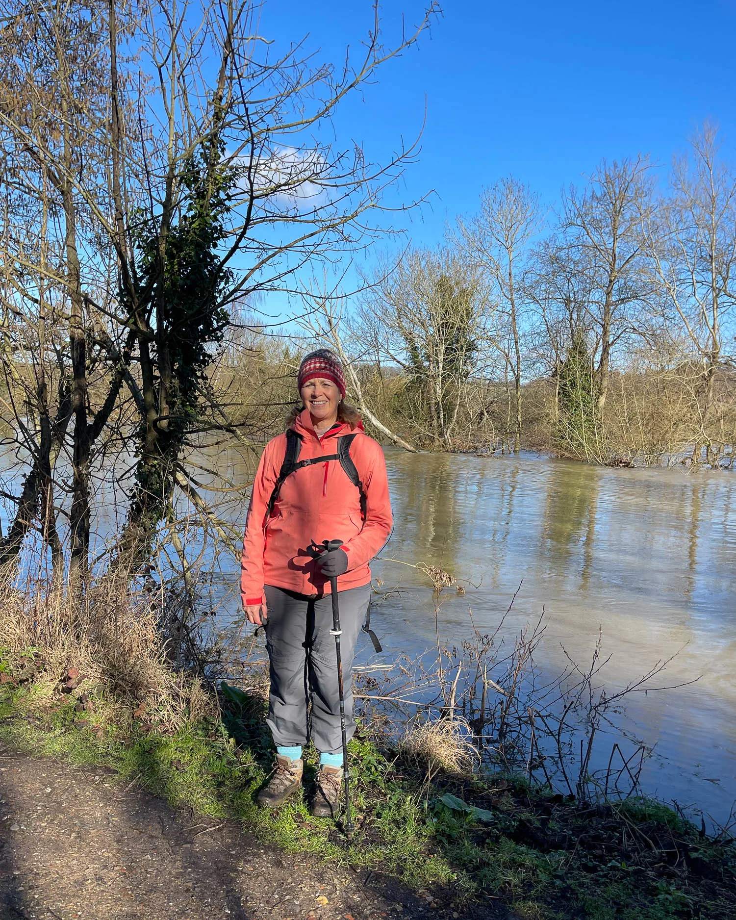
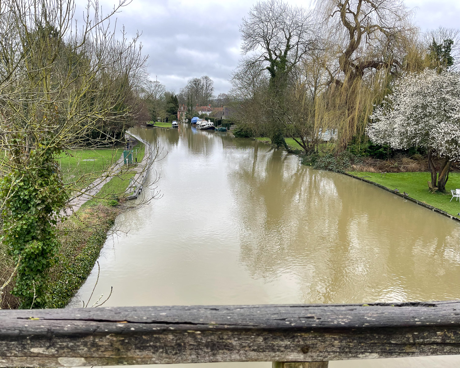
Flooding can be an issue along the Thames, especially in the winter months. Before making firm plans you can check for flood warnings along the Thames Path Trail here and for detours on the path here.

Spring (March – May) – you may get bright sunny days for day walks. However until May the more rural sections of the path may experience flooding or be waterlogged.
Summer (June – August) – warm sunny days and the riverside meadows and footpaths will be at their driest. These are the months when temperatures can climb so check the weather forecast and avoid really hot days. Accommodation will be most expensive in summer, especially in July and August. On the sections that run through London you may find a lot of tourists.
Autumn (September – October) – the weather is normally bright and sunny, but as you move into winter the paths may become more muddy after rain. Check for flood warnings after heavy rain.
Winter (November – February) – avoid walking the more rural sections of the trail during the winter months due to muddy paths and flooded water meadows that lead to endless detours. However, on bright winter days it is possible to walk the paved sections of the path in and around London. Check first for flood warnings, as the river may overflow even paved riverside paths.
Best day walks on the Thames Path National Trail
If you only have time to walk a few sections of the whole trail, these were our favourites;
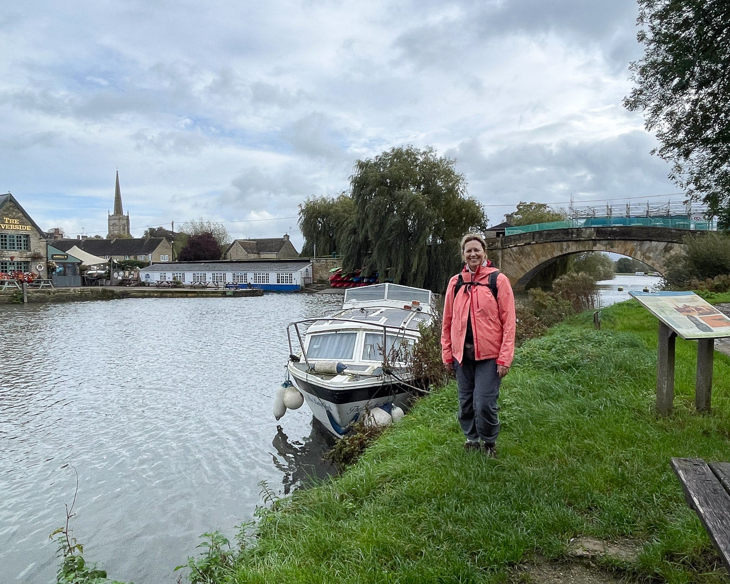
Day 4 – Newbridge to Oxford – an idyllic rural stretch with pretty stone bridges and locks, although it’s difficult to get to Newbridge by public transport – Read more about this stretch.

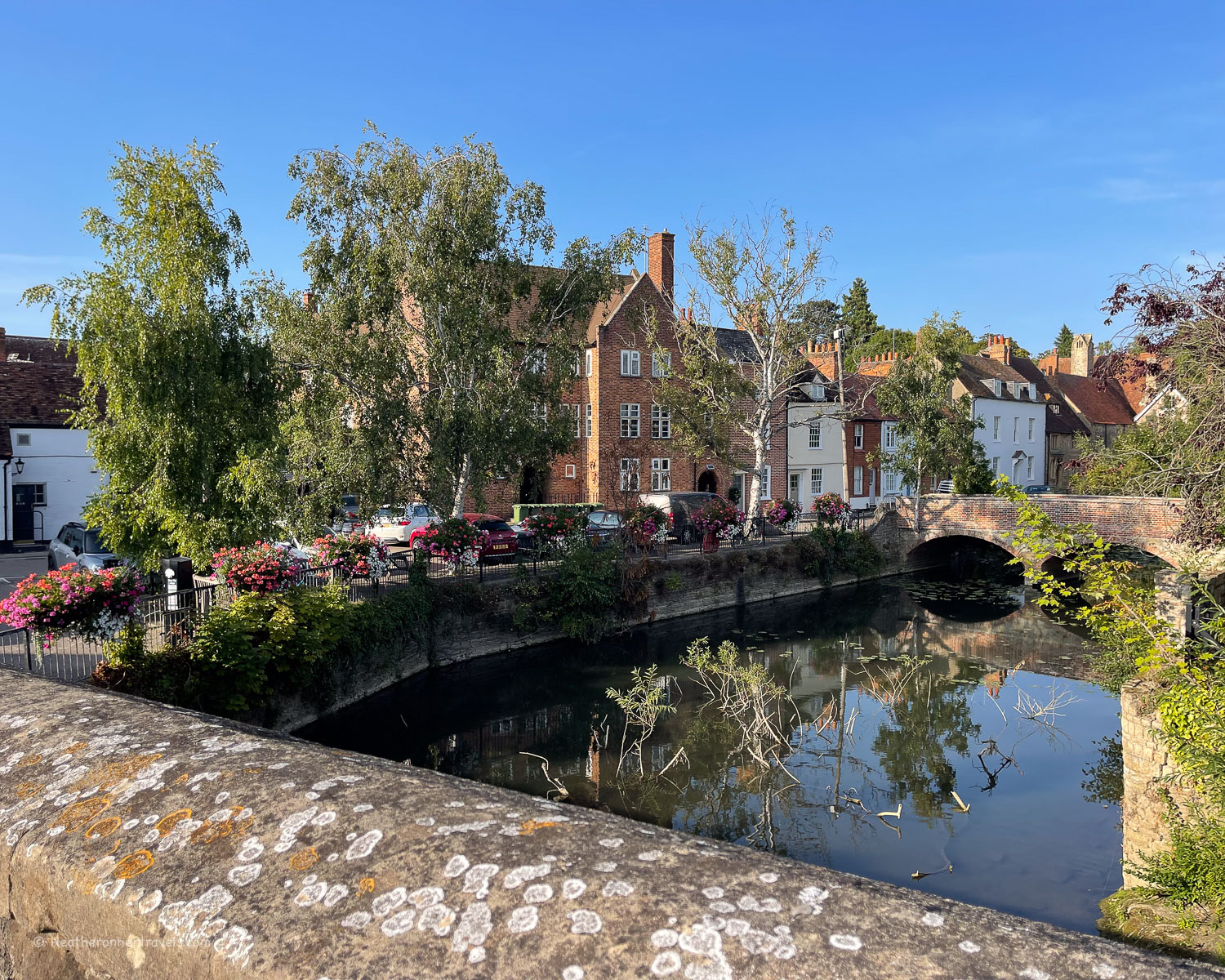
Day 5 – Oxford to Abingdon – from the ancient university town through leafy water meadows to the attractive town of Abingdon – Read more about this stretch.
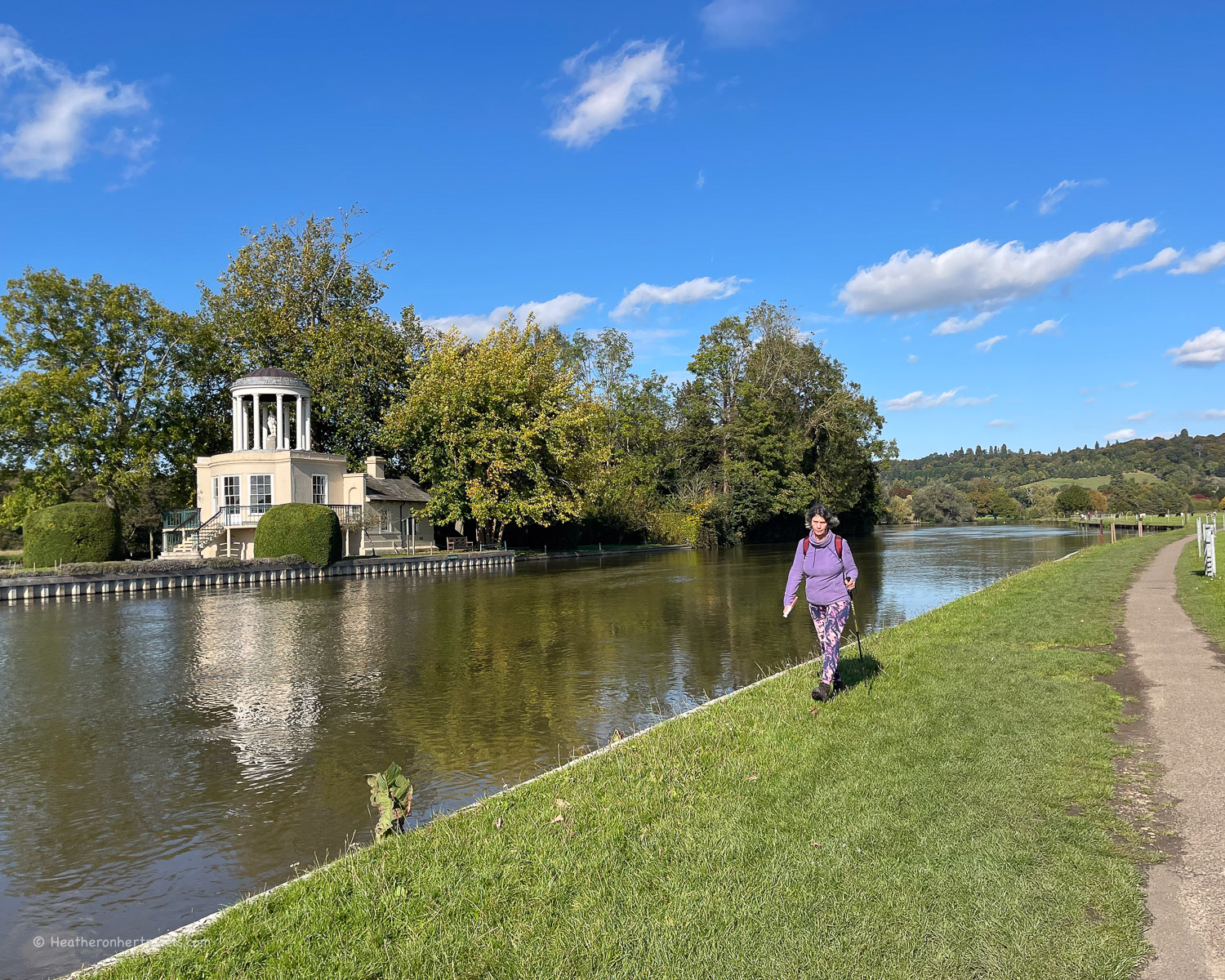
Day 9 – Henley to Marlow – pretty villages and riverside spots on part of the river famous for its rowing regattas (although you may have to make a detour if Temple Bridge is closed) – Read more about this stretch.
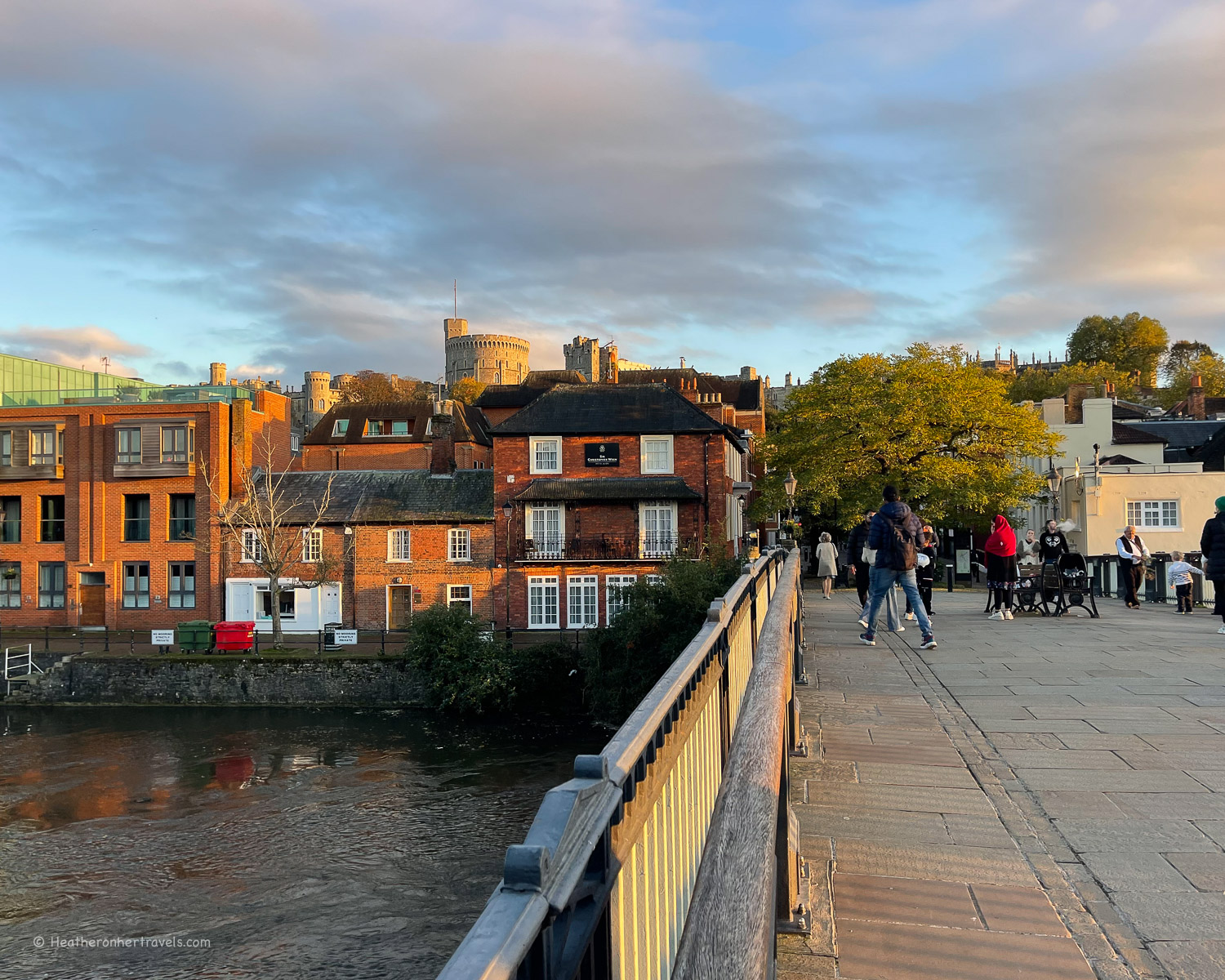
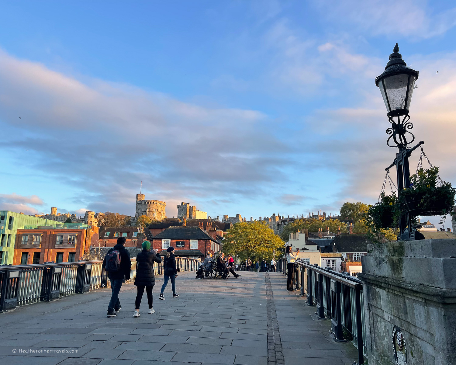
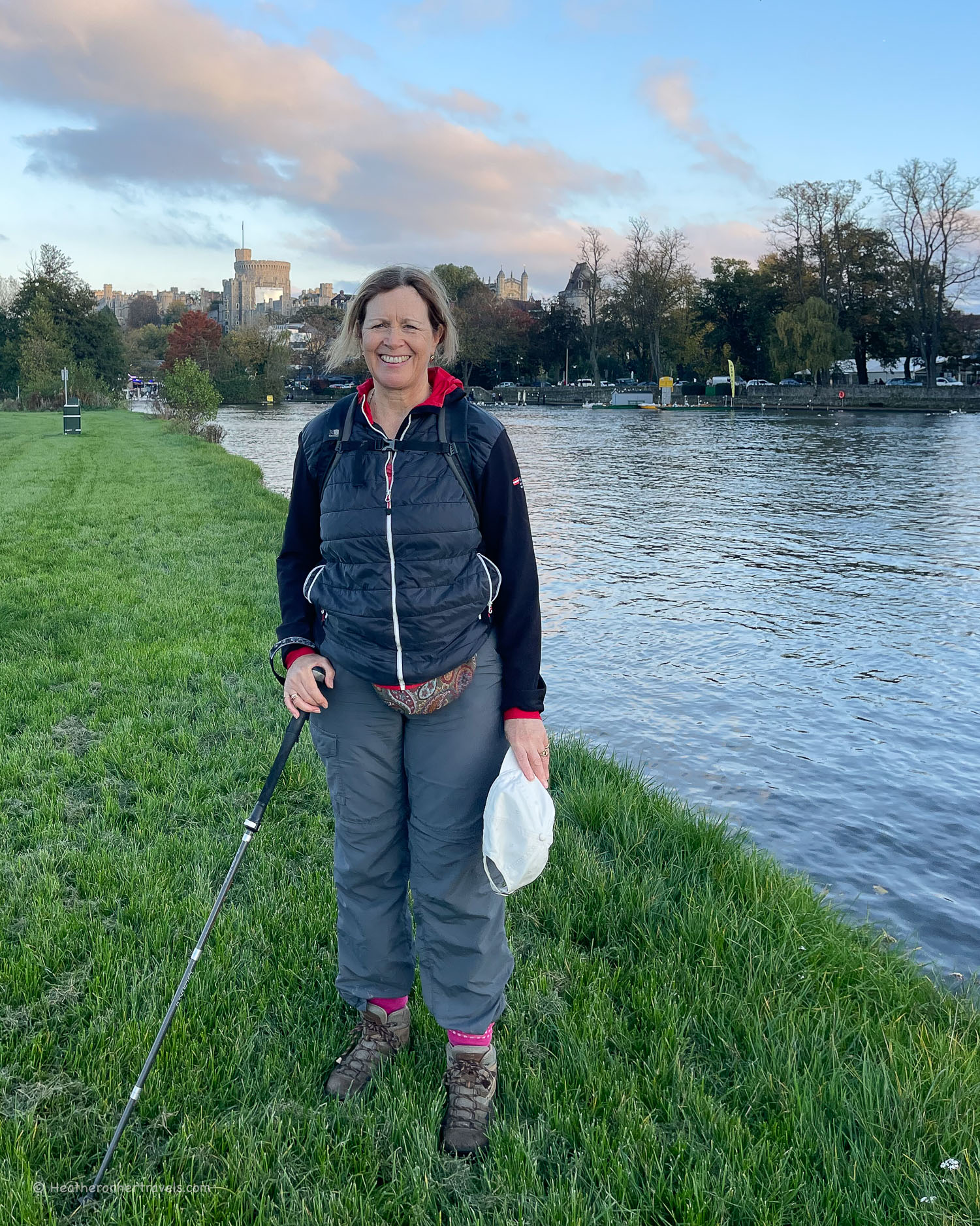
Day 10 – Marlow to Windsor – picturesque riverside towns with views of Edwardian mansions and boathouses – Read more about this stretch.
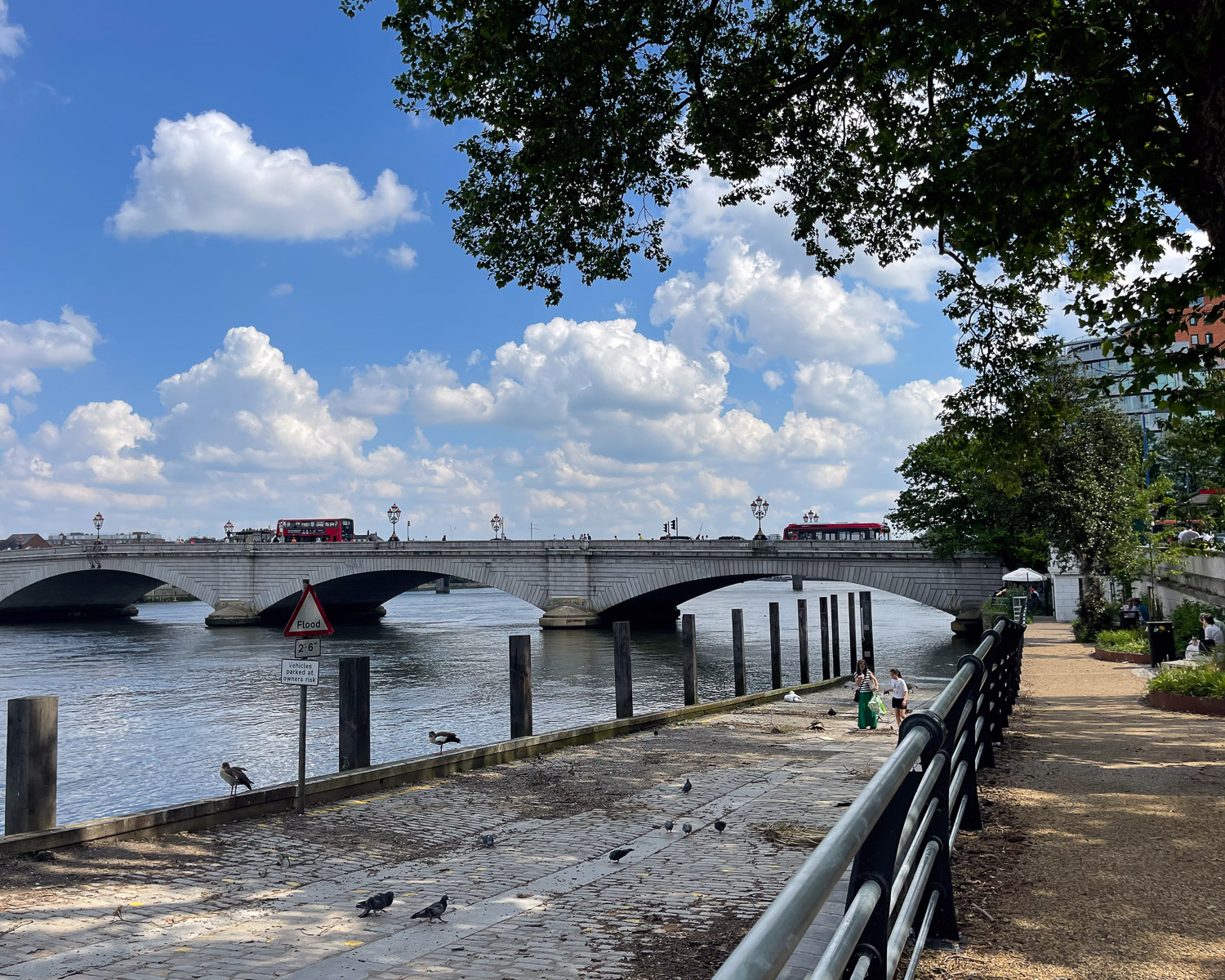
Day 13 – Kingston to Putney – past the prettiest London suburbs of Teddington, Richmond, Kew and Putney – Read more about this stretch.
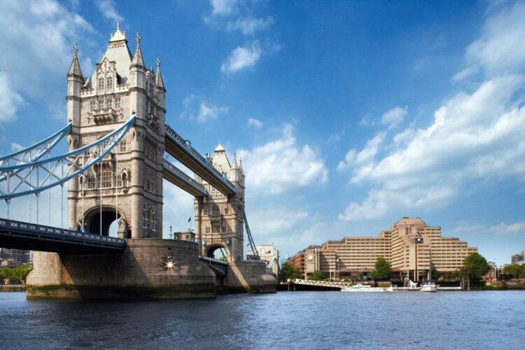
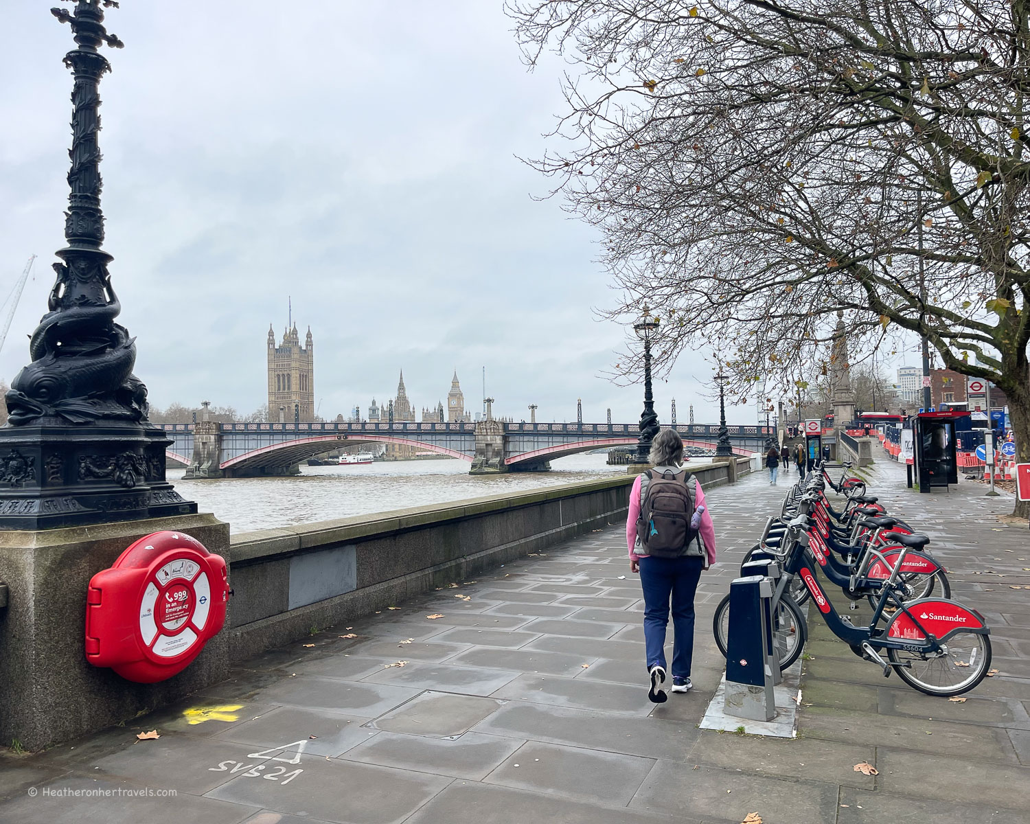
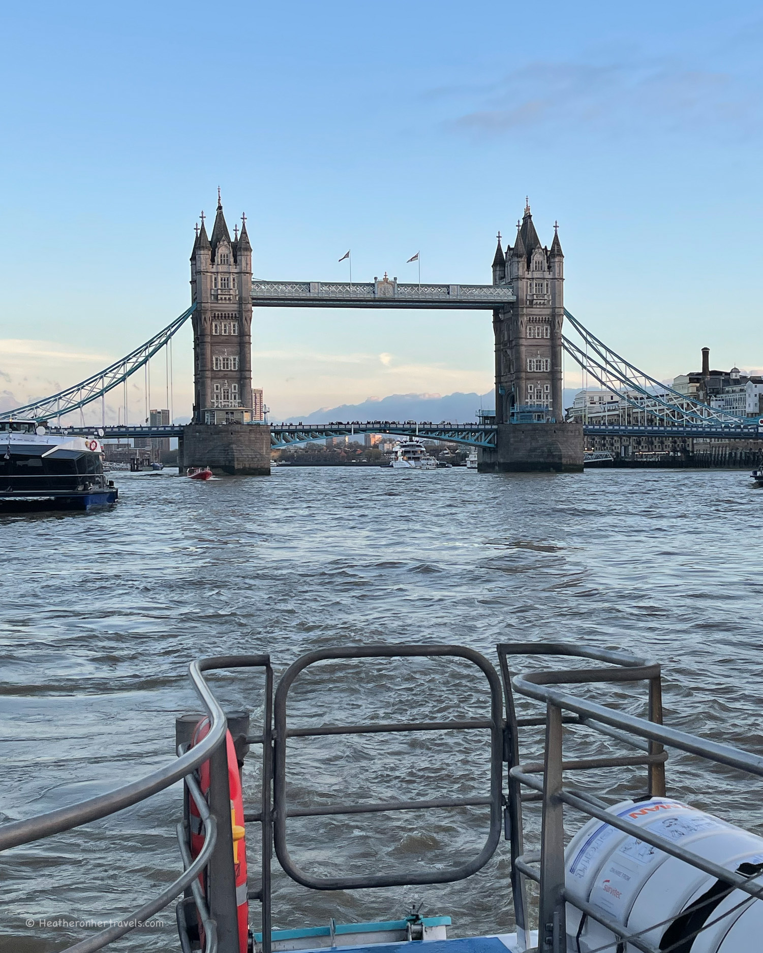
Day 14 – Putney to Tower Bridge – covering the South Bank and most of London’s historic landmarks – Read more about this stretch.
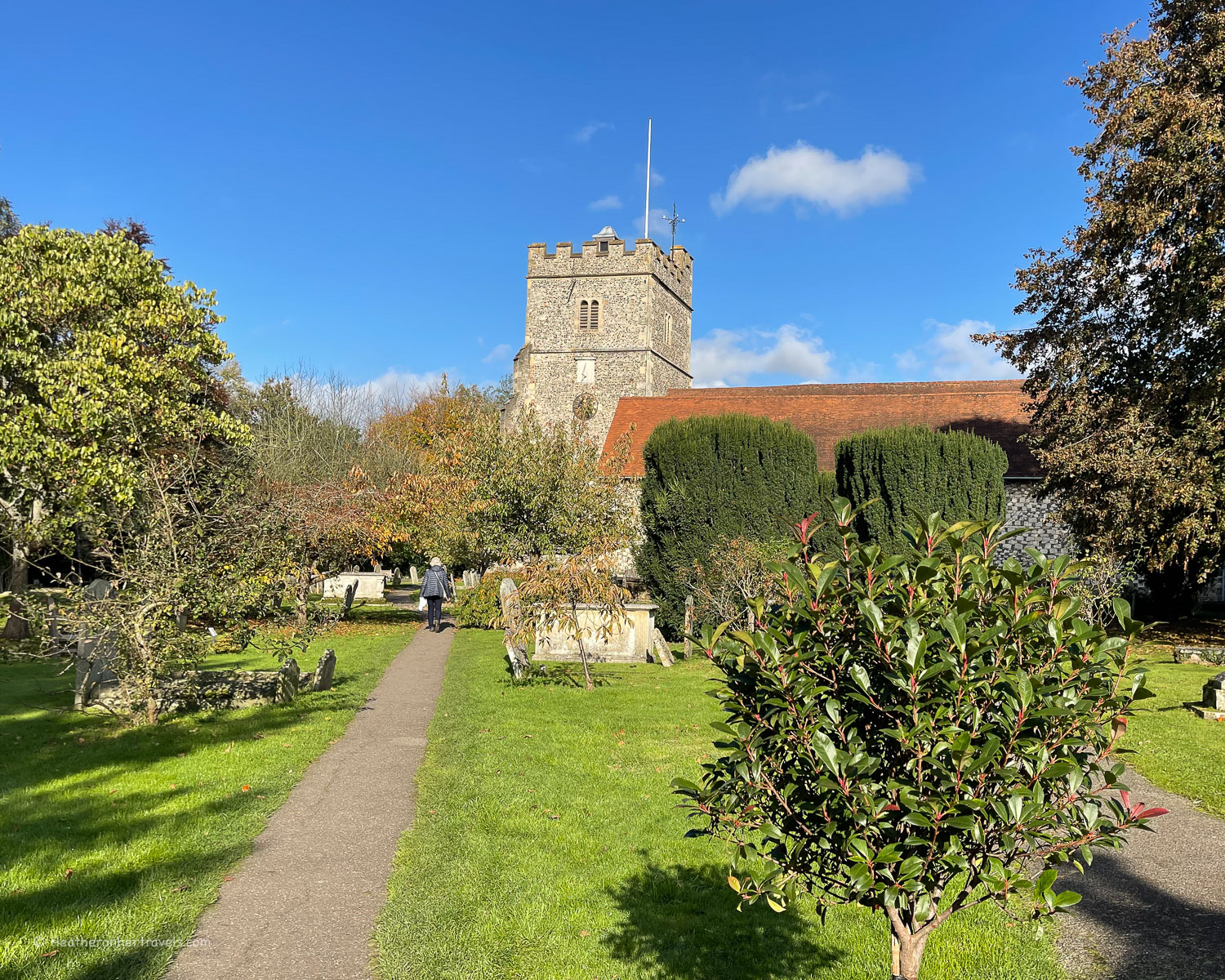
Attractions to visit on the Thames Path National Trail
If you are interested in visiting historic attractions on your journey, these are worth a stop, although you may need to build in extra days to do them justice. Check opening times of individual attractions as some may not be open all year round.
Stage 3 – Kelmscott Manor – the manor house and gardens were owned by 19th century artist William Morris, whose designs epitomise the ‘Arts and Crafts’ movement.
Day 4 & 5 – Oxford – this ancient university town is worthy of adding an extra day to soak up the beautiful architecture of the colleges. Read more about things to do in Oxford.
Day 10 – Cookham – the pretty village has the Stanley Spencer gallery dedicated to the 20th century artist Stanley Spencer who lived here.

Day 10 & 11 – Windsor – Windsor Castle is one of the main residences of the English Royal Family with a chapel where many of them were married.
Day 11 – Runnymede Meadow – this is the location of an historic meeting in 1215 between King John and his barons, leading to the Magna Carta, which curtailed the powers of the monarchy.
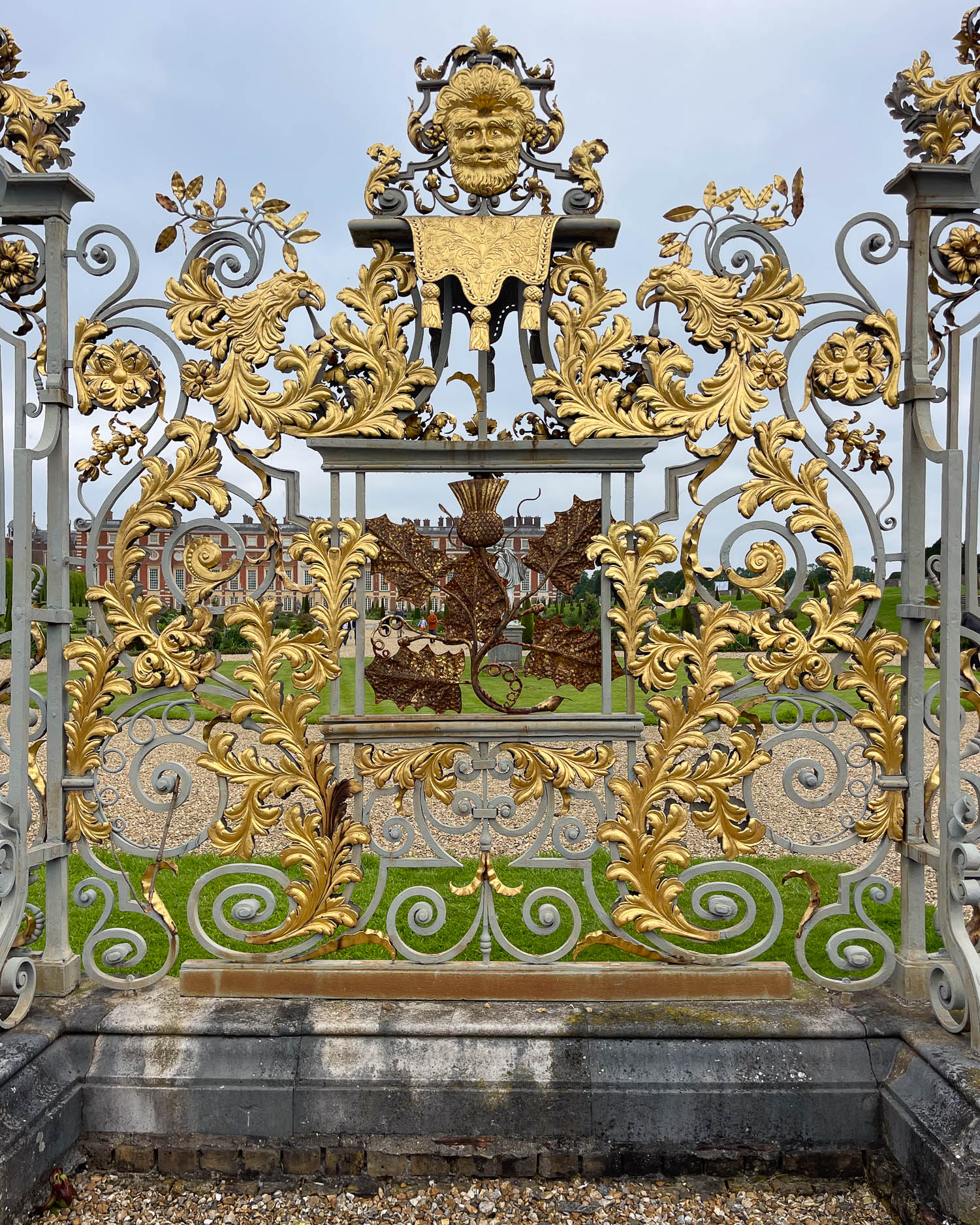
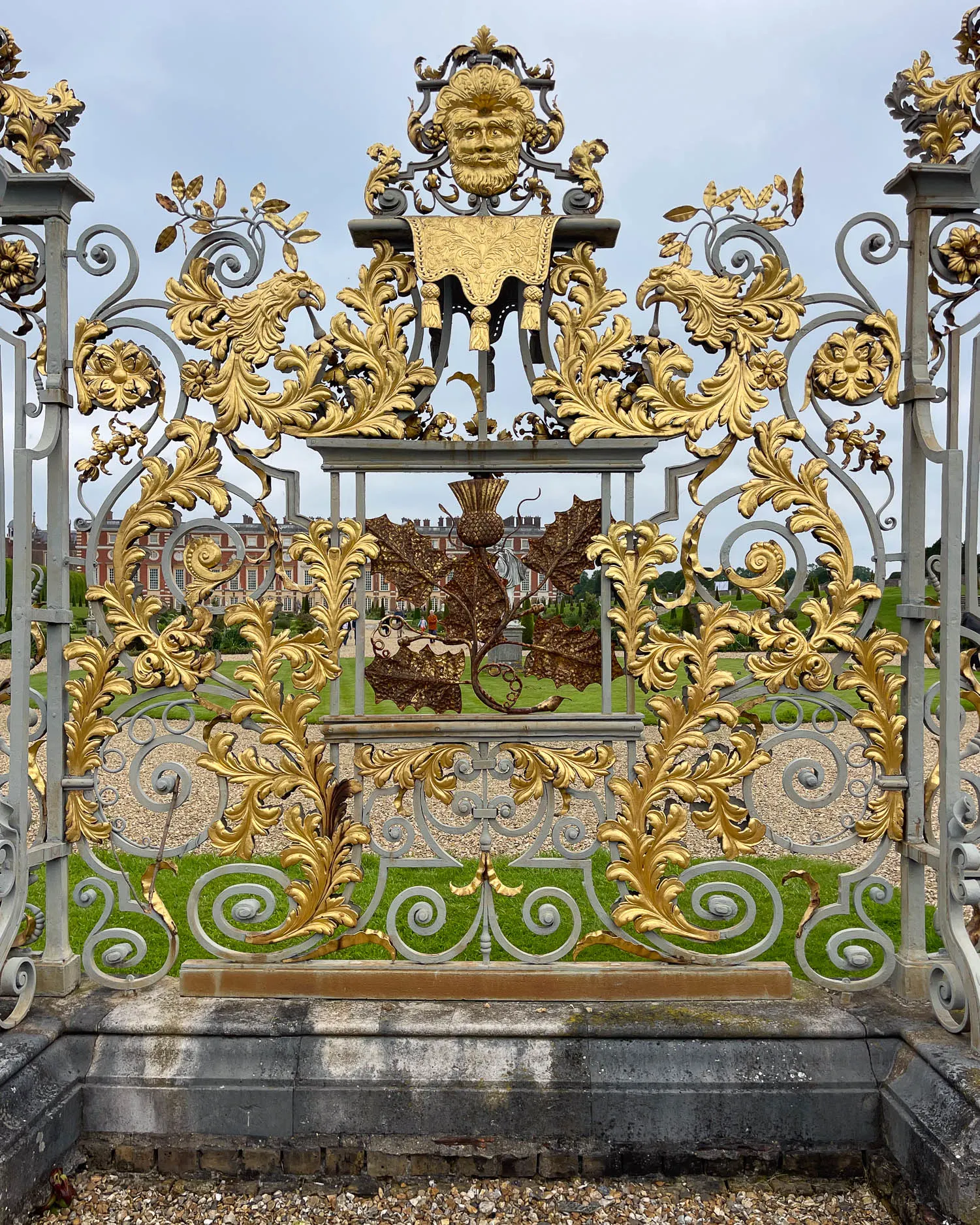
Day 12 – Hampton Court – the royal palace with extensive gardens was the home of King Henry VIII and later monarchs.
Day 13 – Ham House – a 17th century mansion with formal gardens, managed by the National Trust.
Day 13 – Kew Gardens – the Royal botanical gardens with floral displays, exhibitions and Victorian glasshouses.
Day 13 – Barnes Wetland Centre – a nature reserve that was created from the Barn Elms reservoir.
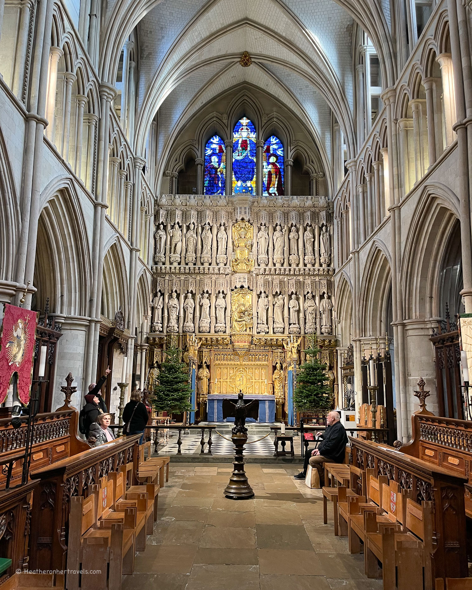
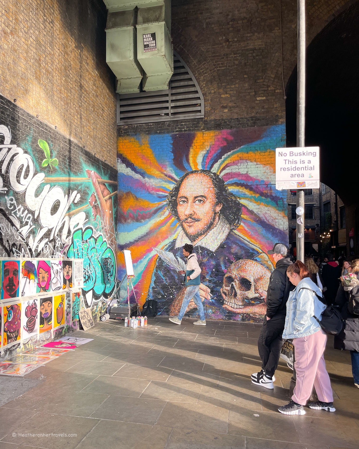
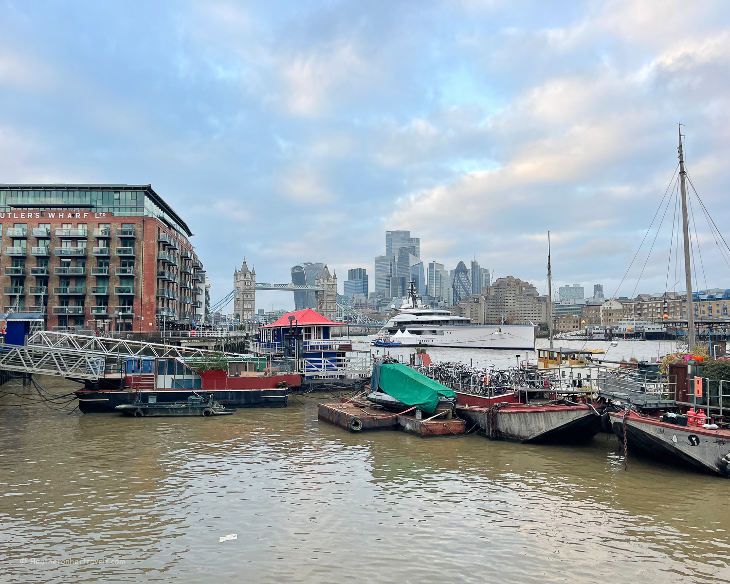
Day 14 – London – this stretch into London offers numerous riverside attractions which include the South Bank arts complex, Tate Modern, Shakespeare’s Globe, Southwark Cathedral, Borough Market, Tower Bridge.
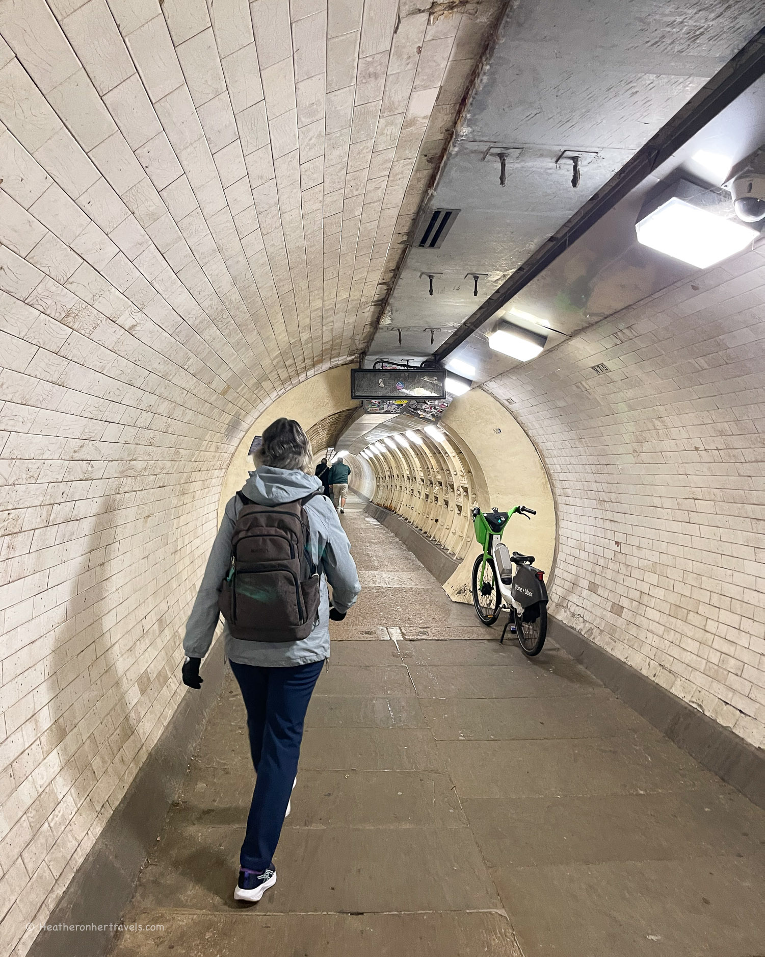
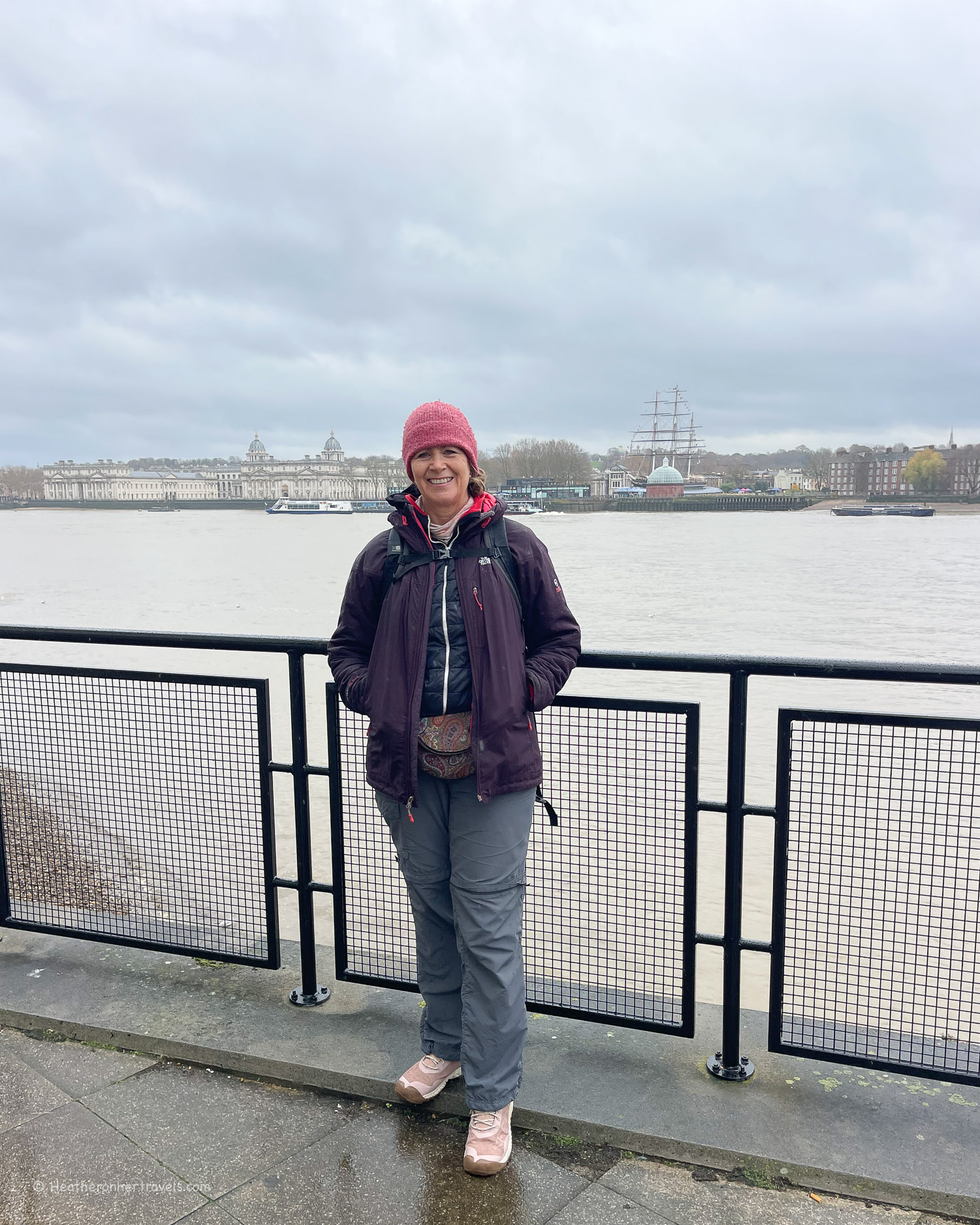
Day 15 – Greenwich – there are several historic attractions here that come under the Royal Museums Greenwich, including the Royal Naval College, Queen’s House, National Maritime Museum and Royal Observatory.
Where to take a rest day on the Thames Path National Trail
The best places to plan a rest day are;
Oxford – Days 4 & 5 – explore the ancient colleges and soak up the history of this university town. Read about all the things to do in Oxford.

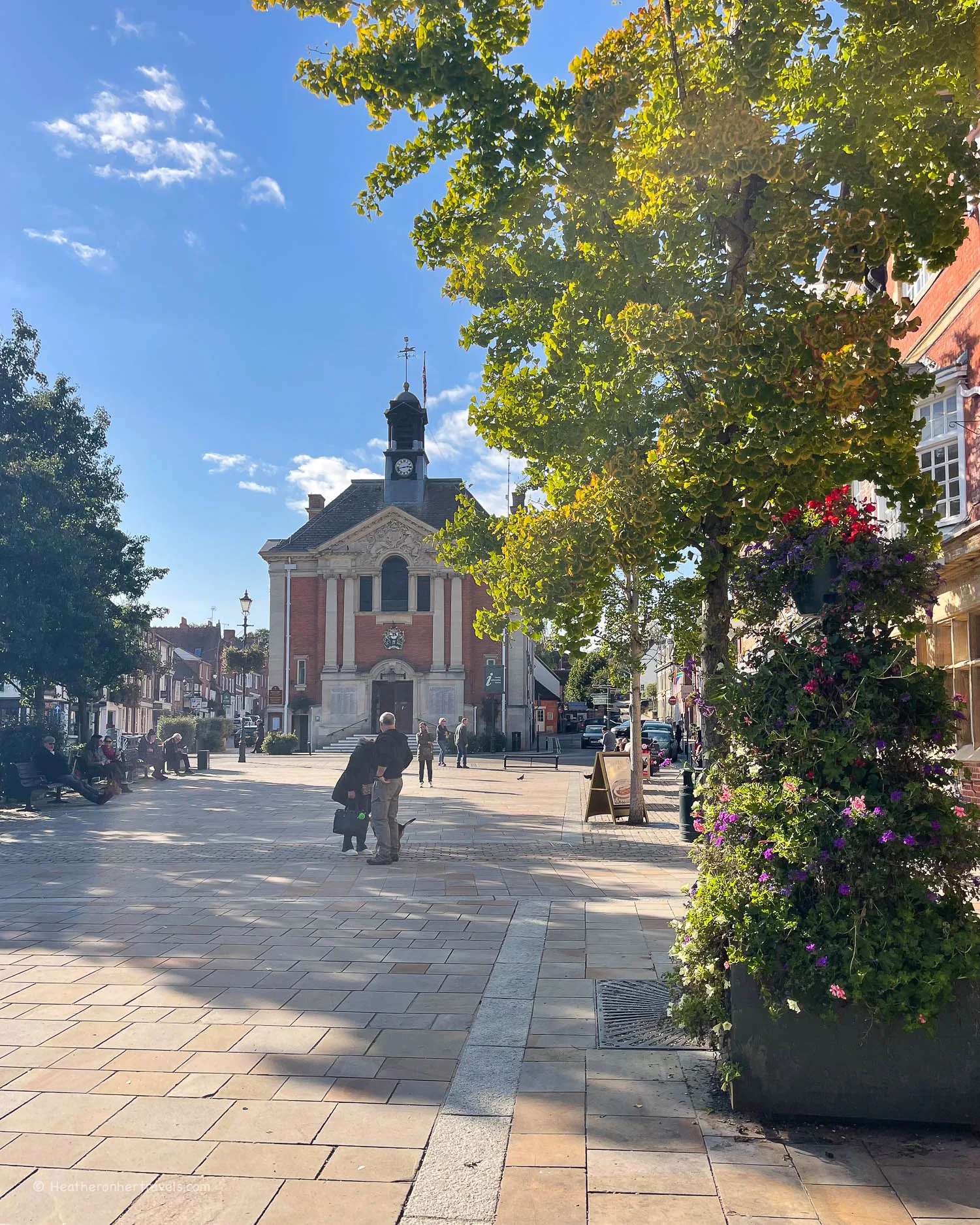
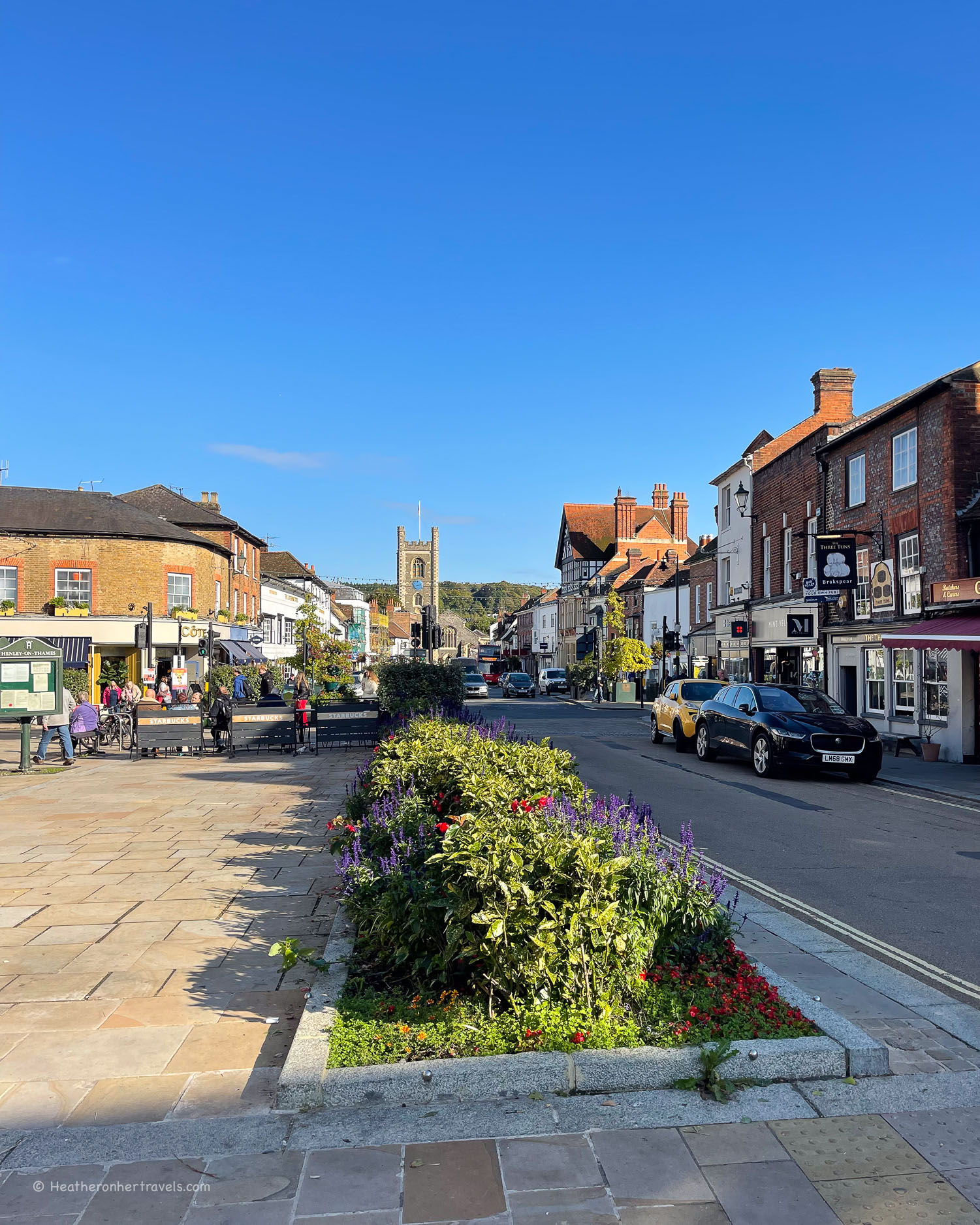
Henley – Day 8 & 9 – a pretty riverside town famous for its rowing regatta in July.
Windsor – Day 10 & 11 – a sizeable town with the attractions of Windsor Castle and nearby Cliveden.
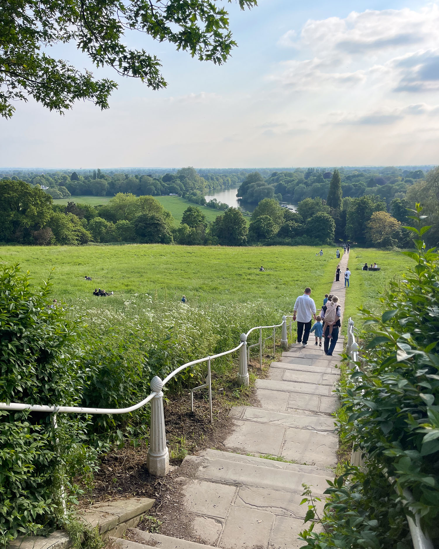
Richmond – Day 13 – a pretty riverside suburb of London with a park, green spaces, riverside walks, shops and restaurants. Read about the view from Richmond Hill.
London – Day 14 & 15 – the city has numerous cultural attractions, museums, shops and interesting neighbourhoods to explore.
Can you camp on the Thames Path National Trail?
Wild camping without permission is not permitted by the Thames Path, which mainly passes across privately owned farmland. The first few stages between the Thames Source and Oxford are quite rural but the landscape is open fields with few secluded spots.
After Oxford the area around the river becomes more heavily populated, so it would be difficult to find a quiet camping spot other than in an official campsite.

There are a few campsites that are close to the Thames Path, although some only operate in the summer months.
Day 1 – Source to Cricklade – Elm Lea Camping near Cricklade (Camping and Caravanning Club members only site)
Day 2 – Cricklade to Lechlade – Bridge House Campsite near Lechlade (closed in winter)
Day 4 – Newbridge to Oxford – Valley Farm Campsite near Oxford
Day 6 – Abingdon to Wallingford – High Lodge Farm near Abingdon
Day 7 – Wallingford to Pangbourne – Bridge Villa Camping and Caravan Park near Wallingford
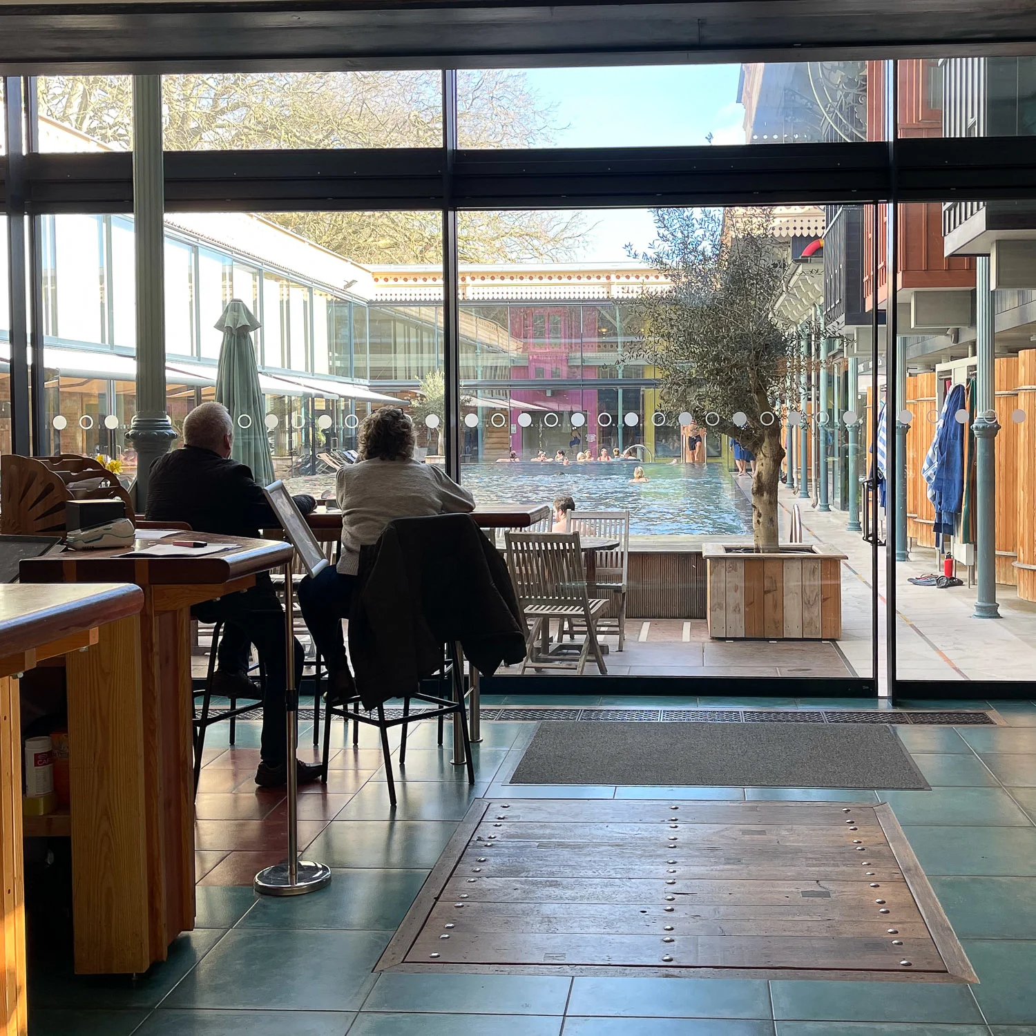
Where to eat on the Thames Path national Trail
We found it easy to find picnic supplies and places to eat along the trail. Most of the start and end points of the day’s stage are in small towns or villages, with a convenience store selling a range of picnic supplies.
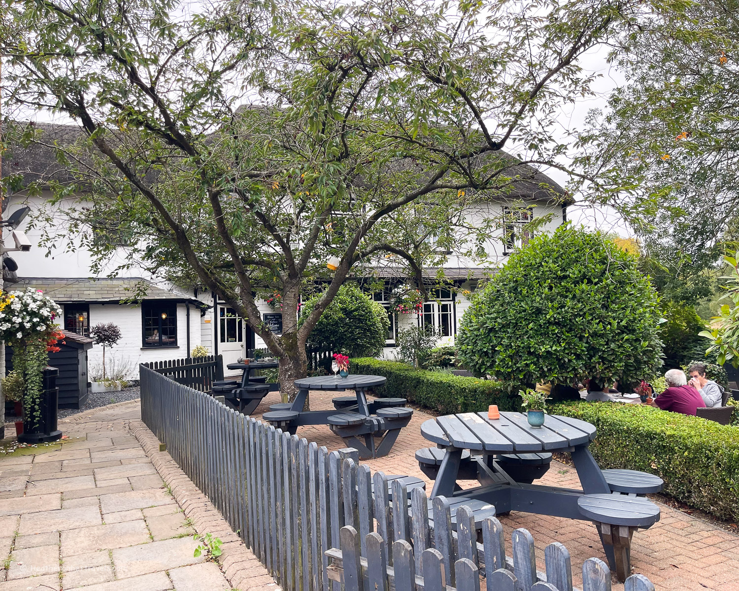
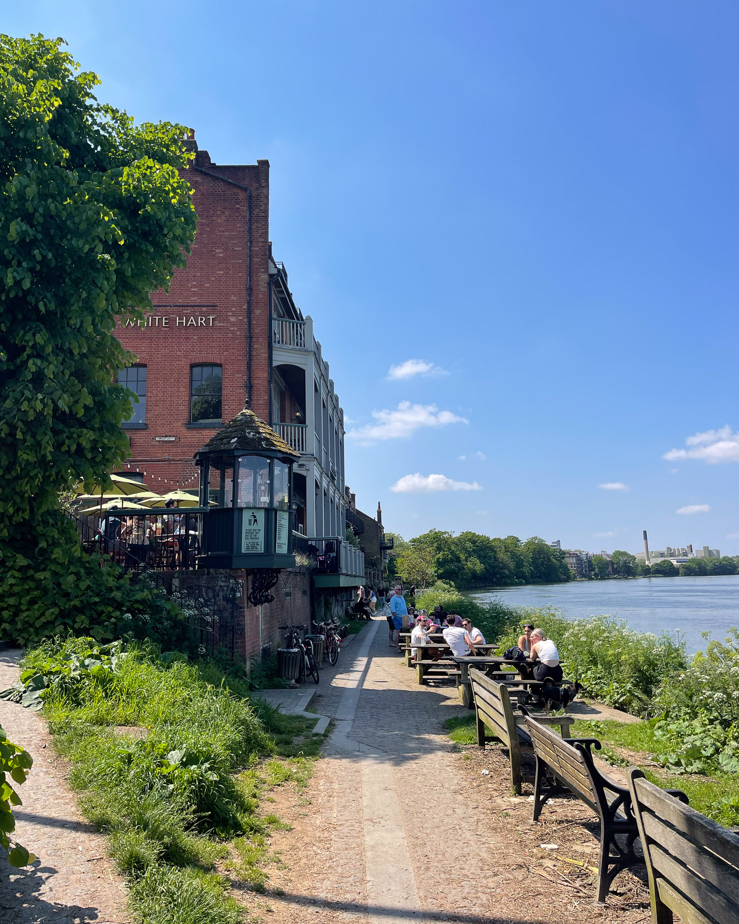
The place you stay overnight will have at least one pub and often a range of restaurants for an evening meal.
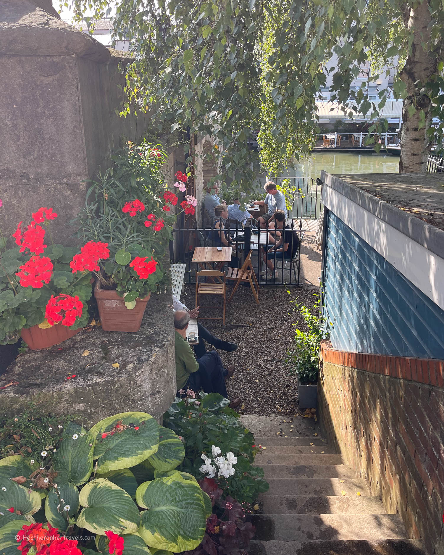
Every stage also passes at least one pub or cafe on the route, although most pubs don’t open until around 11am in case you are looking for an early coffee. On the more rural section in Gloucestershire and Oxfordshire, you may need to check what’s available at your start and end point, since occasionally it’s just a pub with no convenience store.
In this case you’ll need to carry enough picnic supplies for a two days. We would typically pack a picnic and snacks to eat throughout the walk, but make one or two stops for coffee or a drink at a pub or cafe. Tap water in England is fine to drink and any pub or cafe will fill up your water bottle for you.

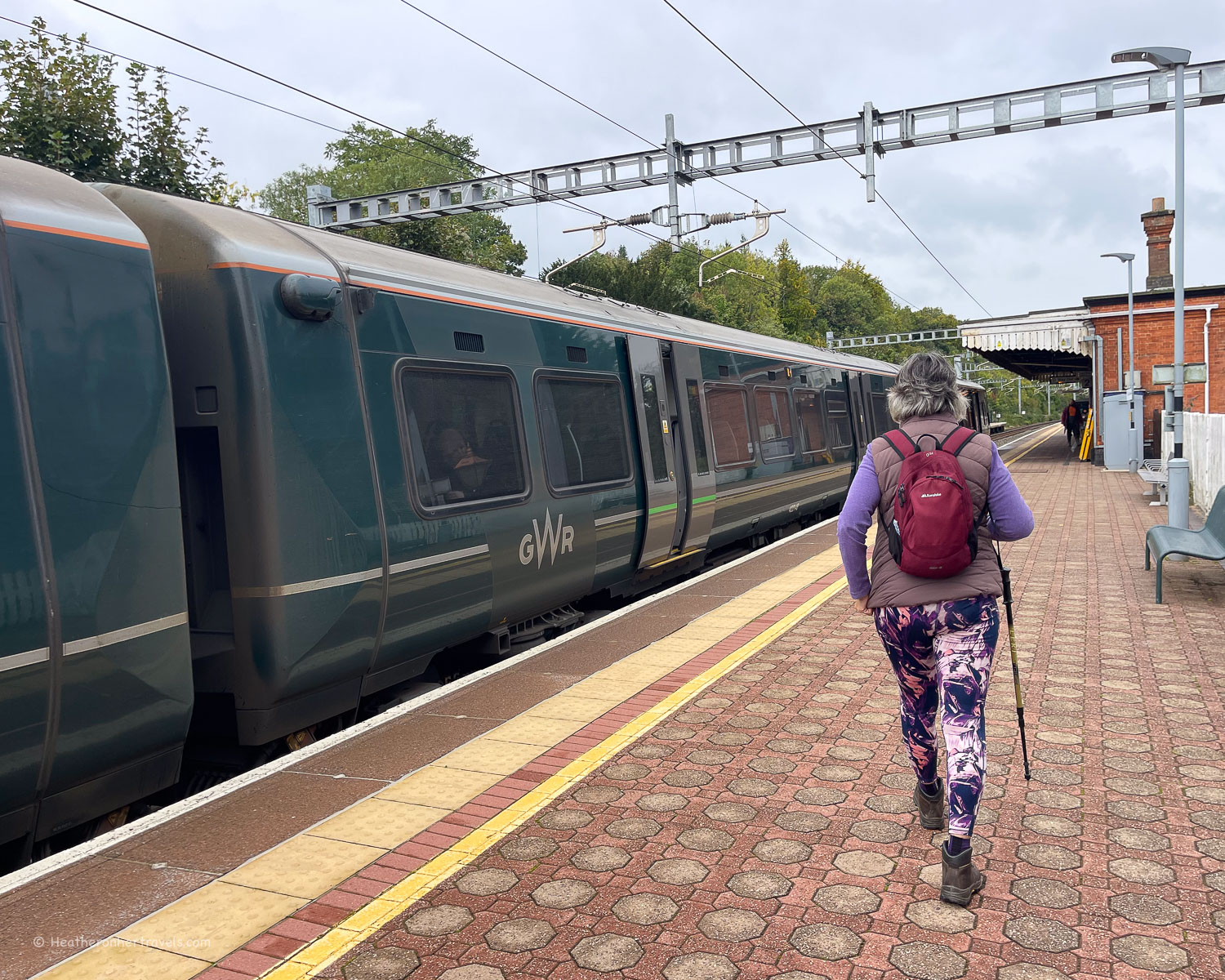
Transport on The Thames Path Trail
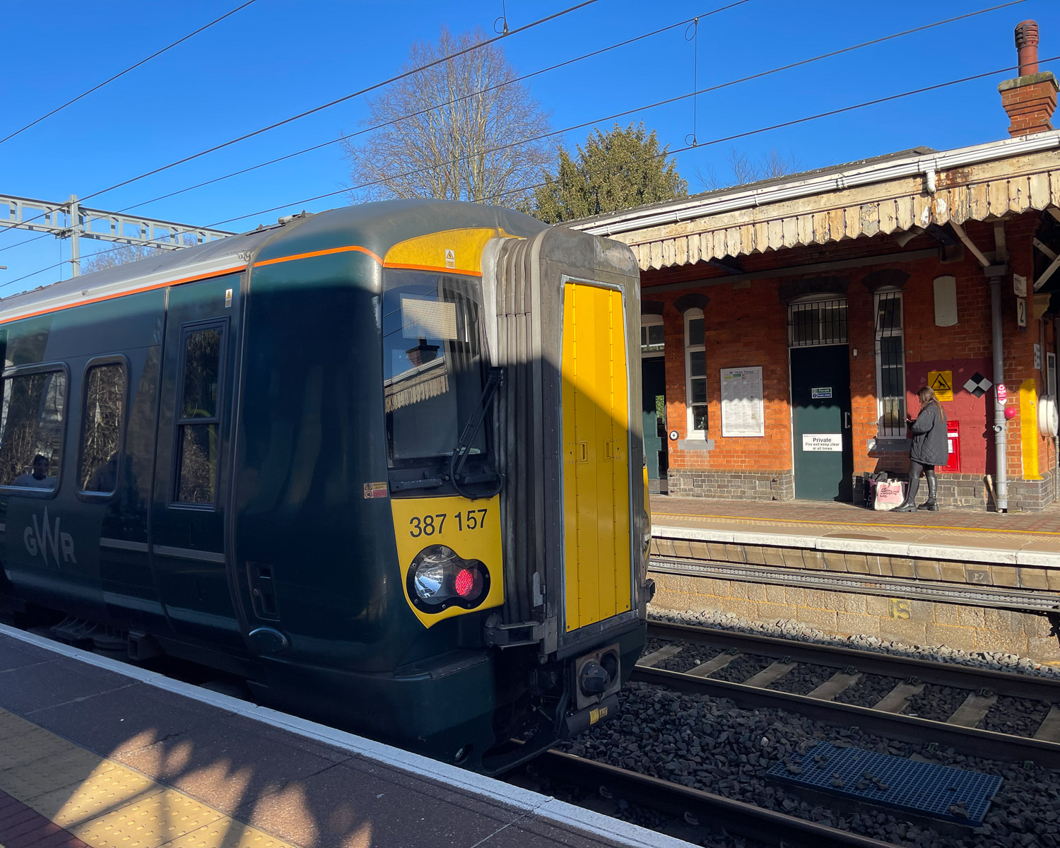
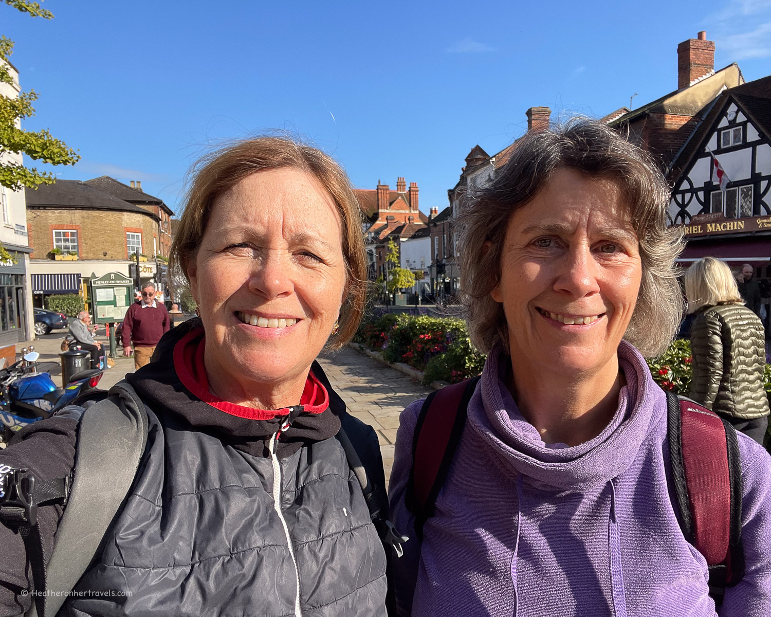
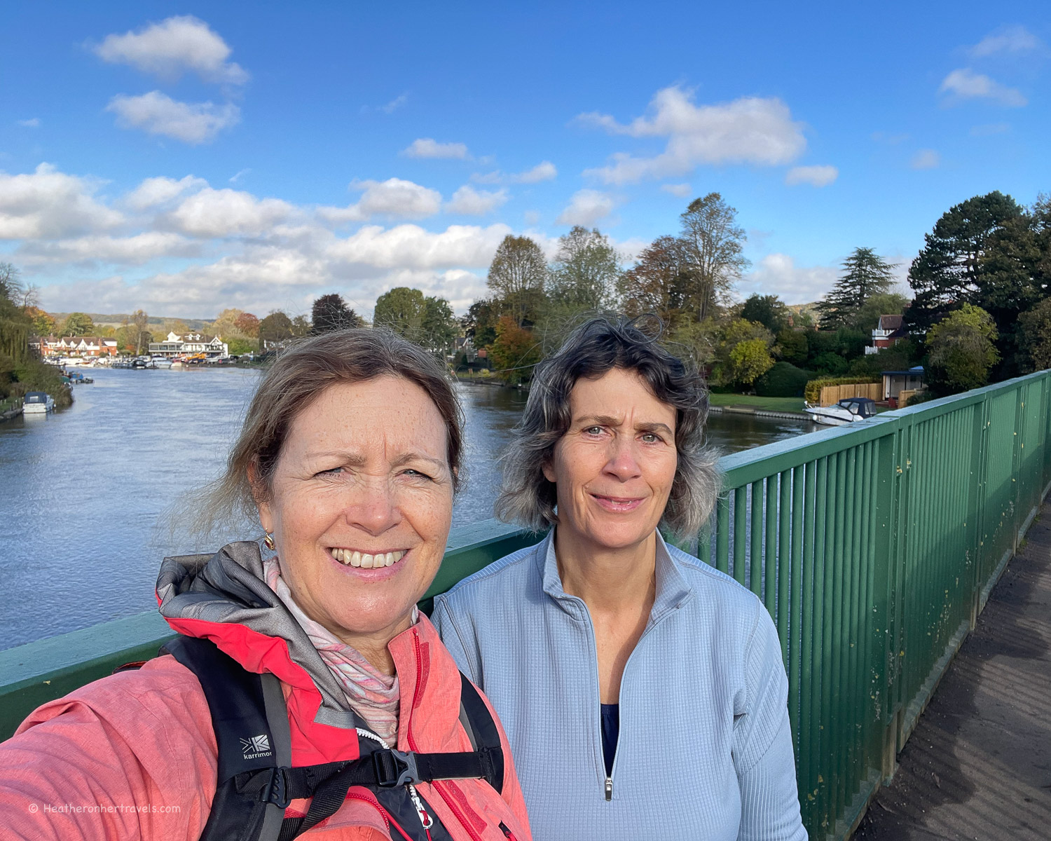
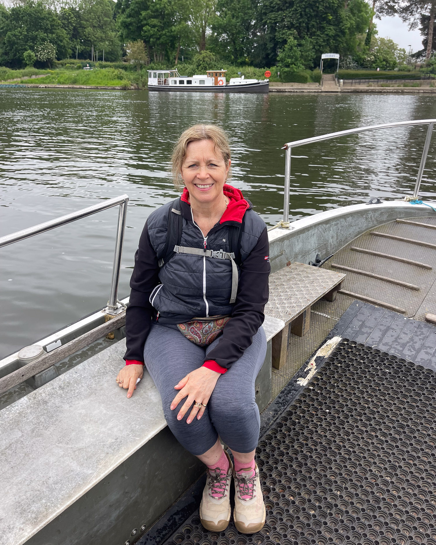
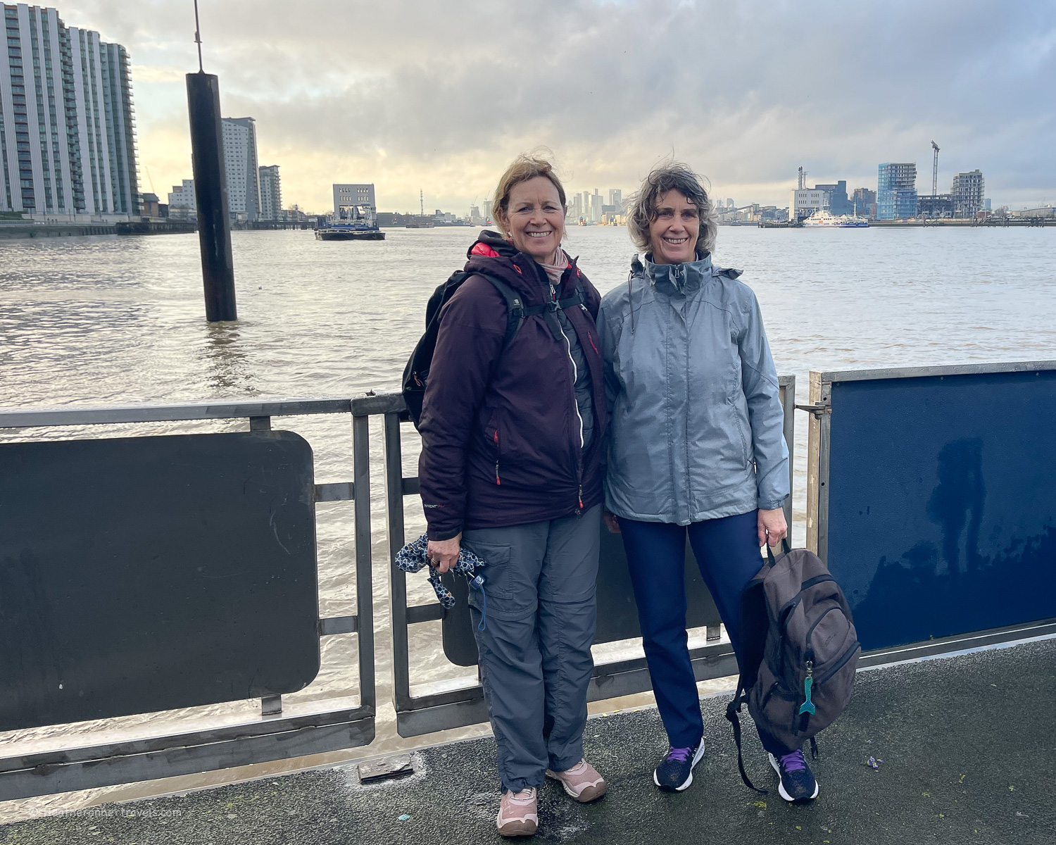
I walked the Thames Path trail with my sister in 2 day stages and we tried to use public transport where possible.
We found the closer you get to London, the more regular and easy the public transport becomes. In the more rural sections of Gloucestershire near the Thames source, there is more limited public transport and even the buses may not take you where you need to go.
On the upper part of the river, from the Thames source to around Reading we found transport needed to be planned carefully.
As we live fairly locally, we were able to get around this by driving to a start or end point and then using the bus or train to return to the car at the end of the day. On some occasions we had to use two cars, positioning one at either end of the day’s walk.
Of course, transport is much less of an issue if you plan to walk all 15 days sequentially. Another good option is to break the walk into sections of 2-4 days, starting and ending at the locations that are most accessible by bus or train (use Trainline to plan your train journeys).
For this reason I have written separate articles, each covering a 3-4 day section of the trail, that starts and ends at a convenient point with good transport links. The articles below have more detailed public transport information for each day’s walk.
Hiking the Thames Path National Trail – from Source to Oxford – Days 1-4
Hiking the Thames Path National Trail – from Oxford to Henley – Days 5-8
Hiking the Thames Path National Trail – from Henley to Kingston – Days 9-12
Hiking the Thames Path National Trail – Kingston to Woolwich – Days 13-15

Train and bus options
Many of the points along the Thames Path are accessible by train, especially the Great Western Railway line that runs from London to Bristol. We recommend using Trainline to check timings and book train tickets online.
There’s also a pretty good network of local buses running between smaller towns and villages, but you need to check timetables carefully as they may run every hour or less.
I used my mapping app to identify which buses serve which routes, then used the bus provider’s website to check exact timings. Once you get close to London, there’s an excellent network of overground trains, underground trains and local buses.
In the rural areas there aren’t lots of taxis, but calling one from a pub (they can often give you the number of a local taxi company) would be an option if you are really stuck.
You can find detailed transport information for each day in my individual articles about the Thames Path National Trail.
From Source to Oxford – Days 1-4
From Oxford to Henley – Days 5-8
From Henley to Kingston – Days 9-12
From Kingston to Woolwich – Days 13-15

Which direction is best to walk the Thames Path?
We walked the Thames Path from its source in the Cotswolds to its end in London. This seemed to us the most logical route, since we saw the river’s evolution from a muddy ditch to a mighty flow through London’s impressive urban landscape.
We were also influenced by living in Bristol, so we started at the point closest to us. However, if you live in London it might make sense to start there and follow the river to its source.
You might also be influenced by the season you decide to walk, since the more rural sections closest to the source can be very muddy and waterlogged through autumn and winter. Other than these considerations there is no right or wrong place to start and end the Thames Path.
Is the Thames Path easy to follow?
We found the Thames Path extremely easy to follow. All the sections are well marked with clear signposts and wherever we met a diversion, due to flooding or building works, this was also well signposted. There are other footpaths that cross the Thames Path, but it was easy to distinguish between the Thames Path and other footpaths.
As it generally follows the river, you can’t go far wrong if you have it in your sight, although it’s worth mentioning that sometimes the path does divert a little way from the Thames river itself. It would certainly be possible to follow the Thames Path Trail by just following the signposts.
However, we do recommend taking a guidebook to get more information about the places you’ll pass, distance and timings and some history and context for the walk.
The guidebook we used and recommend is the Trailblazer Thames Path Guide. We liked the easy to follow maps and the fact that it’s just as easy to follow for walking in either direction.
Resources for hiking the Thames Path National Trail
Train bookings – we recommend Trainline for easy online rail bookings. Buses can be paid for by tapping on and off with your debit card.
Book accommodation: to book hotels online and conveniently have all your bookings in once place, we used Booking.com but if you prefer you could also use Expedia.
Guidebook – we used and recommend the Trailblazer Thames Path Guide – this is the one we used and we liked the easy to follow maps and the fact that it’s just as easy to follow for walking in either direction.
The Thames Path National Trail website is a useful source of information about the trail as a whole.
If you have questions about our walk on the Thames Path National Trail, feel free to email me at heather(at)heatheronhertravels(dot)com
Read Next
Hiking the Thames Path National Trail – from Source to Oxford – Days 1-4
Read more about our walk on the Thames Path Trail
Hiking the Thames Path National Trail – from Oxford to Henley – Days 5-8
Hiking the Thames Path National Trail – from Henley to Kingston – Days 9-12
Hiking the Thames Path National Trail – Kingston to Woolwich – Days 13-15
Walking the Thames Path National Trail – our top tips (this article)


Pin it

This article is originally published at Heatheronhertravels.com